Kirkburn Wood
Wood, Forest in Cumberland Carlisle
England
Kirkburn Wood
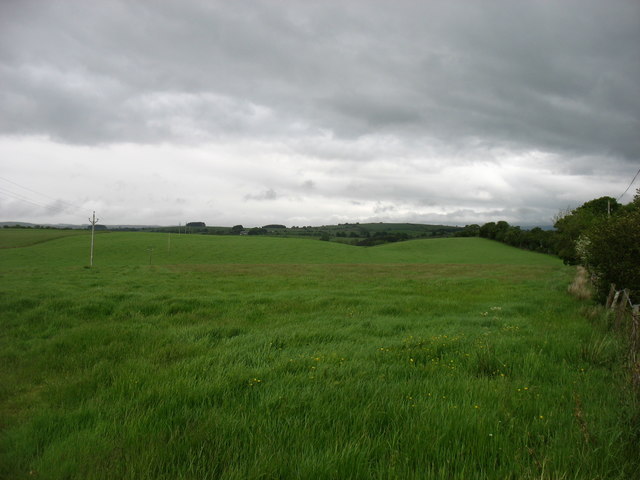
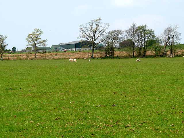
Kirkburn Wood is a stunning woodland located in Cumberland, England. Spread across a vast area, it is one of the most enchanting forests in the region. The wood is known for its diverse range of flora and fauna, making it a haven for nature enthusiasts and wildlife lovers alike.
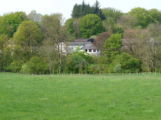
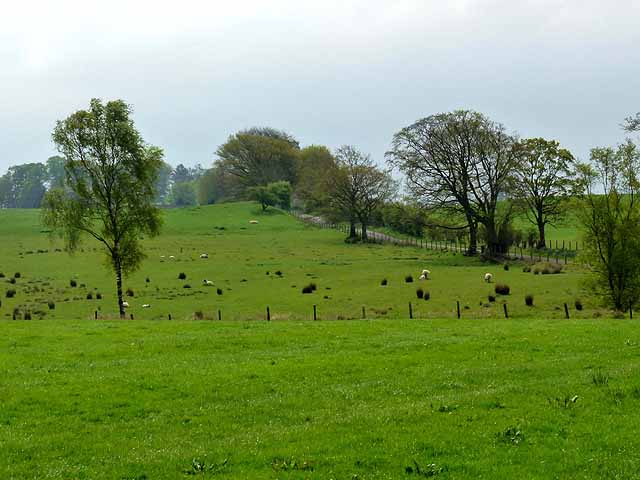
Covered in lush greenery, Kirkburn Wood boasts a mixture of deciduous and coniferous trees, creating a picturesque landscape throughout the year. The forest is predominantly composed of oak, beech, and pine trees, which provide a rich canopy and a tranquil ambiance. The forest floor is adorned with a vibrant carpet of wildflowers, adding to the beauty of the surroundings.
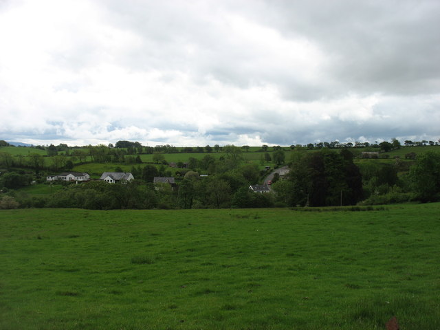
The wood is home to a wide variety of wildlife, including deer, foxes, badgers, and various bird species. It is a popular spot for birdwatchers, as they can catch a glimpse of rare and migratory birds that inhabit the area. The peaceful atmosphere and abundance of natural resources make Kirkburn Wood an ideal habitat for these creatures.
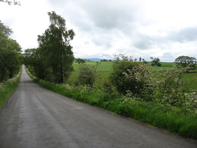
Moreover, the wood offers several walking trails and paths, allowing visitors to explore its hidden gems. There are also picnic areas and benches strategically placed throughout the forest, providing a perfect setting for a leisurely afternoon amidst nature. Additionally, the wood is part of a larger conservation area, ensuring that its natural beauty is protected and preserved for generations to come.
Overall, Kirkburn Wood is a captivating destination that offers a serene escape from the hustle and bustle of everyday life. Its breathtaking scenery, diverse wildlife, and well-maintained trails make it a must-visit for anyone seeking a tranquil and immersive experience in the heart of Cumberland.
If you have any feedback on the listing, please let us know in the comments section below.
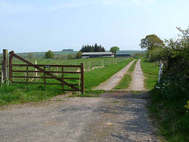
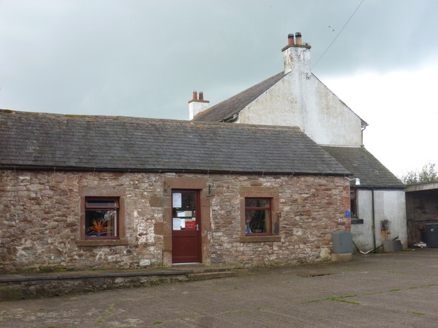
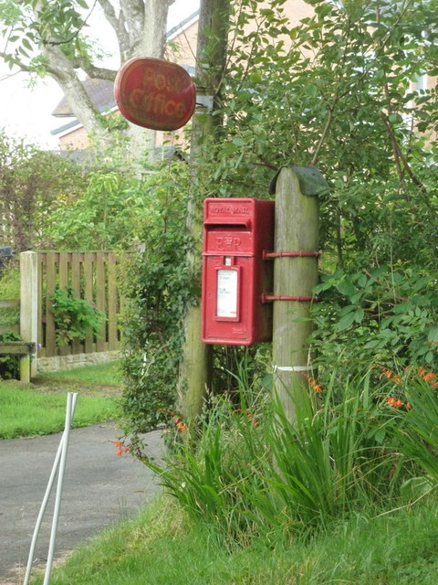
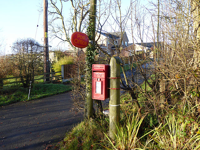
Kirkburn Wood Images
Images are sourced within 2km of 55.03169/-2.7793899 or Grid Reference NY5071. Thanks to Geograph Open Source API. All images are credited.


Kirkburn Wood is located at Grid Ref: NY5071 (Lat: 55.03169, Lng: -2.7793899)
Administrative County: Cumbria
District: Carlisle
Police Authority: Cumbria
What 3 Words
///grad.profiled.alarmed. Near Brampton, Cumbria
Nearby Locations
Related Wikis
Stapleton, Cumbria
Stapleton is a village and civil parish in the City of Carlisle district, in the county of Cumbria, in the North West of England. It falls under the jurisdiction...

Solport
Solport is a civil parish in City of Carlisle district, Cumbria, England. In the 2011 UK Census it had a population of 166.It shares a parish council with...

Hethersgill
Hethersgill is a village and a civil parish in the Carlisle district, in the county of Cumbria, England. Hethersgill has a church called St Mary's Church...
Boltonfellend
Boltonfellend is a village in Cumbria, England. == External links == Media related to Boltonfellend at Wikimedia Commons

Askerton Castle
Askerton Castle is a medieval fortified manor house in Cumbria, England. == History == Askerton Castle was built in the parish of Askerton in Cumbria around...

Askerton
Askerton is a civil parish in the City of Carlisle district of Cumbria, England. It has a population of 162 according to the 2001 census, decreasing to...

Brackenhill Tower
Brackenhill Tower is a peel tower, in the parish of Arthuret, in Cumbria, just north of the River Lyne. The site is about 2 miles (3.2 km) north of Kirklinton...
St Mary's Church, Walton
St Mary's Church is in the village of Walton, Cumbria, England. It is an active Anglican parish church in the deanery of Brampton, the archdeaconry of...
Nearby Amenities
Located within 500m of 55.03169,-2.7793899Have you been to Kirkburn Wood?
Leave your review of Kirkburn Wood below (or comments, questions and feedback).