School Hill

Hill, Mountain in Cumberland Carlisle

England

School Hill

The B6318 heading for Roadhead
The B6318 heading for Roadhead Credit: David Purchase

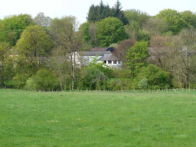
School Hill is a prominent hill located in Cumberland, a county in the northwest of England. With an elevation of around 280 meters (920 feet), it is considered a significant landmark in the region. The hill is situated near the town of Caldbeck, approximately 20 kilometers (12 miles) northeast of the city of Carlisle.

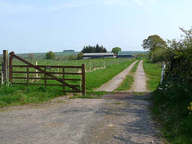
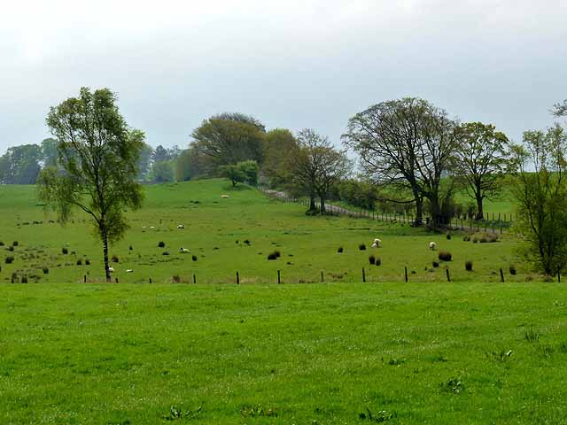
School Hill is part of the Caldbeck Fells, a range of hills renowned for their picturesque beauty and rich mining history. The hill is mostly covered in grass and heather, giving it a distinctively green appearance. The summit of School Hill offers breathtaking panoramic views of the surrounding countryside, with the Scottish border visible in the distance on clear days.

The name "School Hill" is believed to originate from the fact that there was once a school located at its base. The hill has long been a popular spot for walkers and hikers, with several footpaths leading to the summit. These trails provide an opportunity for outdoor enthusiasts to explore the diverse flora and fauna of the area.

School Hill is also known for its historical significance. In the past, it was extensively mined for lead and copper, contributing to the local economy during the 18th and 19th centuries. Today, remnants of these mining activities, such as old mine shafts and spoil heaps, can still be found on the hill, serving as a reminder of its industrial past.

Overall, School Hill in Cumberland offers visitors a chance to immerse themselves in the natural beauty and history of the region. Whether it is for a leisurely walk or to appreciate the stunning views, this hill is a must-visit destination for those exploring the Caldbeck Fells.

If you have any feedback on the listing, please let us know in the comments section below.
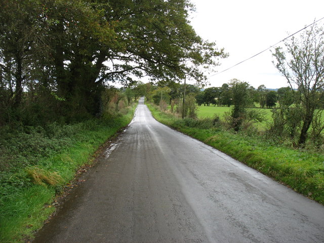
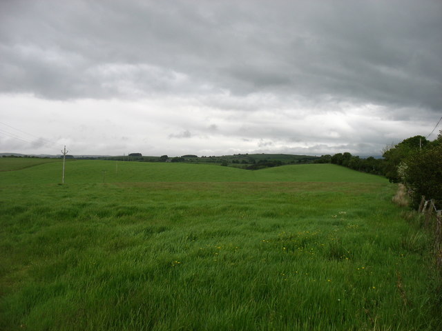
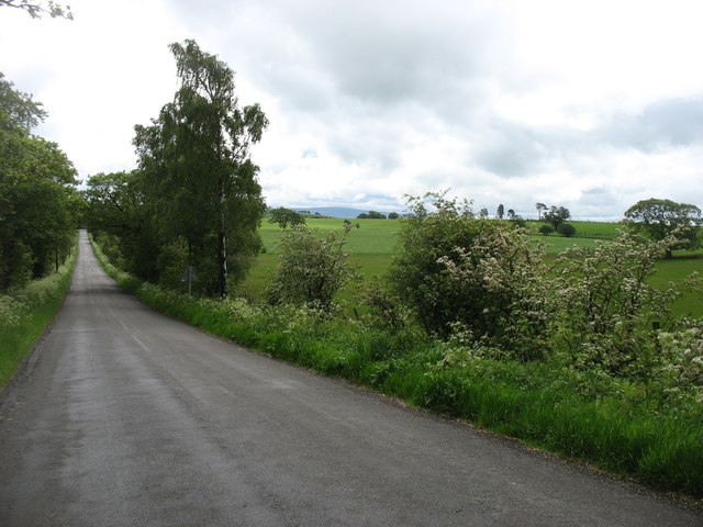
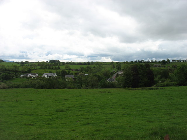
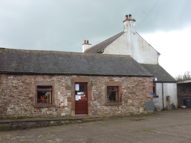
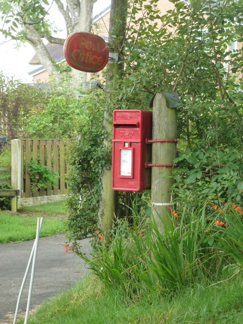
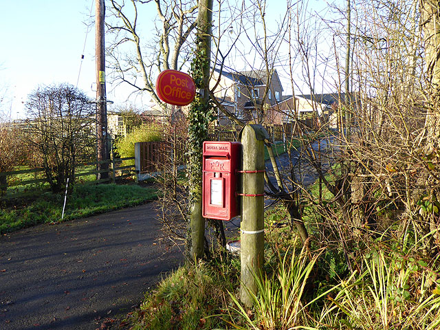
School Hill Images

Images are sourced within 2km of 55.036288/-2.7714992 or Grid Reference NY5071. Thanks to Geograph Open Source API. All images are credited.

The B6318 heading for Roadhead
Fields at North Greenhill
The B6318 for Kirkcambeck Taken from near North Greenhill Farm.
The B6318 for Kirkcambeck
Taken from near North Greenhill Farm.
Lyneholmeford village Seen from the north.
Lyneholmeford village
Seen from the north.
Fellend Farm
Fellend Farm
Low Luckens Farm In the wooded Lyne valley.
Low Luckens Farm
In the wooded Lyne valley.
Selbystown Farm
Selbystown Farm
The White Lyne Looking downstream from Whitelyne Bridge. The confluence with the Black Lyne can just be seen.
The White Lyne
Looking downstream from Whitelyne Bridge. The confluence with the Black Lyne can just be seen.
The White Lyne Looking upstream from Whitelyne Bridge.
The White Lyne
Looking upstream from Whitelyne Bridge.
The entrance to Whiteclose Farm
New Dorryfield Farm
New Dorryfield Farm
Roweltown: the post office The post office, and also local delivery office, is located in the farm barnyard of Gibshill. It must be one of the most rural post offices in the country.
Roweltown: the post office
The post office, and also local delivery office, is located in the farm barnyard of Gibshill. It must be one of the most rural post offices in the country.
Roweltown: postbox № CA6 427 This small postbox stands outside the driveway to the farm Gibshill, in whose barnyard will be found <a href="https://www.geograph.org.uk/photo/3287621">NY4971 : Roweltown: the post office</a>.
Roweltown: postbox № CA6 427
This small postbox stands outside the driveway to the farm Gibshill, in whose barnyard will be found NY4971 : Roweltown: the post office.
Driveway to Gibshill Farm A post box stands by the road, on the way up to the  Roweltown Post Office. In view of the number of small branch post office closures, it is lucky indeed that this remote corner of Cumbria retains such a facility. Only open on Mondays, Tuesdays and Thursdays.
Driveway to Gibshill Farm
A post box stands by the road, on the way up to the Roweltown Post Office. In view of the number of small branch post office closures, it is lucky indeed that this remote corner of Cumbria retains such a facility. Only open on Mondays, Tuesdays and Thursdays.
Country road at Roweltown Flanked by wintry trees.
Country road at Roweltown
Flanked by wintry trees.
Whitelyne Bridge
Whitelyne Bridge
Tree-lined road near Pattie's Hill Farm
Fields near Pattie's Hill Farm
Show me another place!

School Hill is located at Grid Ref: NY5071 (Lat: 55.036288, Lng: -2.7714992)

Administrative County: Cumbria

District: Carlisle

Police Authority: Cumbria

What 3 Words

///throw.stages.shadowed. Near Brampton, Cumbria

Related Wikis

Stapleton, Cumbria

Stapleton is a village and civil parish in the City of Carlisle district, in the county of Cumbria, in the North West of England. It falls under the jurisdiction...

Solport

Solport is a civil parish in City of Carlisle district, Cumbria, England. In the 2011 UK Census it had a population of 166. It shares a parish council...

Askerton Castle

Askerton Castle is a medieval fortified manor house in Cumbria, England. == History == Askerton Castle was built in the parish of Askerton in Cumbria...

Askerton

Askerton is a civil parish in the City of Carlisle district of Cumbria, England. It has a population of 162 according to the 2001 census, decreasing to...

Nearby Amenities

Located within 500m of 55.036288,-2.7714992
Post Box
Ref: CA6 164
Lat/Long: 55.0351061/-2.7767558
Stapleton
Place: hamlet
Source: NLS-OS-1st_Series
Lat/Long: 55.034122/-2.775507
Power: pole
Lat/Long: 55.0334272/-2.7660785
Power: pole
Lat/Long: 55.0336524/-2.7675325
Power: pole
Lat/Long: 55.0340271/-2.7691591
Power: pole
Lat/Long: 55.0343951/-2.7706731
Power: pole
Lat/Long: 55.034671/-2.7718397
Power: pole
Lat/Long: 55.0349469/-2.7729584
Power: pole
Lat/Long: 55.0353849/-2.7747862
Power: pole
Lat/Long: 55.035805/-2.7765158
Power: pole
Lat/Long: 55.0361207/-2.777783
Power: pole
Lat/Long: 55.0364378/-2.7791365
Power: pole
Lat/Long: 55.034752/-2.7753324
Power: pole
Lat/Long: 55.0341301/-2.7758858
Power: pole
Lat/Long: 55.0334739/-2.7764655
Power: pole
Lat/Long: 55.0335123/-2.7772632
Power: pole
Lat/Long: 55.0334835/-2.7768751
Power: pole
Lat/Long: 55.0332528/-2.7759169
Power: pole
Lat/Long: 55.033014/-2.7753204
The data included in this document is from www.openstreetmap.org. The data is made available under ODbL.

Have you been to School Hill?

Leave your review of School Hill below (or comments, questions and feedback).