Stapleton

Settlement in Cumberland Carlisle

England

Stapleton

Fields at North Greenhill
Fields at North Greenhill Credit: David Purchase

Stapleton is a charming village located in Cumberland, England. Situated in the beautiful and picturesque Lake District National Park, it is surrounded by stunning natural landscapes and offers a peaceful retreat from the hustle and bustle of city life.

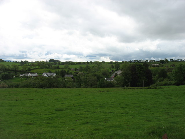
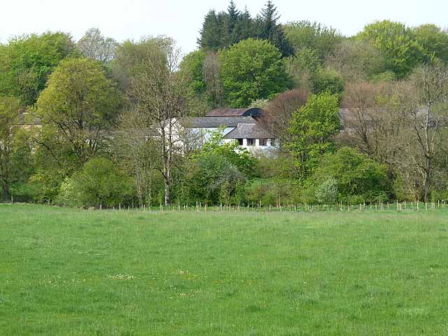
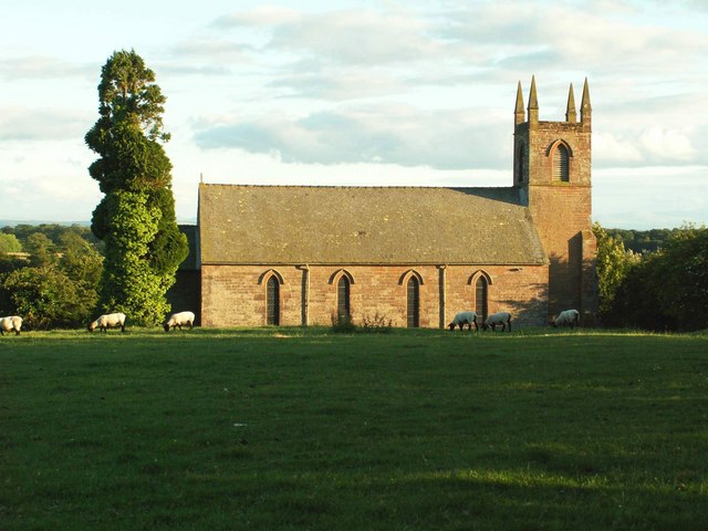
The village is home to a small population, mostly consisting of friendly and welcoming locals who take pride in their community. The architecture in Stapleton reflects its rich history, with traditional stone houses, quaint cottages, and a historic church that stands as a prominent landmark.

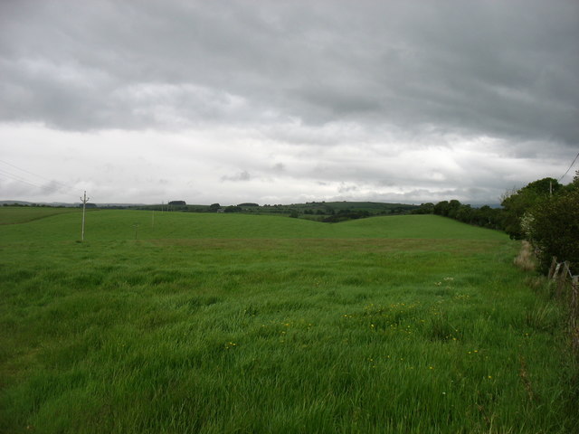
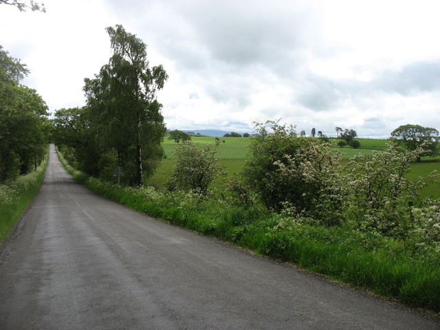
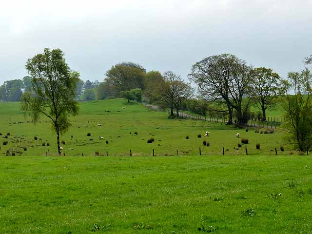
Nature lovers will be delighted by the abundance of outdoor activities and scenic spots available in and around Stapleton. The village is surrounded by rolling hills, lush green meadows, and dense woodlands, making it an ideal destination for hiking, cycling, and birdwatching. The nearby lakes and rivers also offer opportunities for fishing and boating.

Despite its small size, Stapleton boasts a strong sense of community spirit. The village has a local pub, where residents and visitors can enjoy a pint of locally brewed ale and engage in lively conversations. There are also a few shops and amenities available, ensuring that residents have access to basic necessities without needing to travel far.

In summary, Stapleton is a tranquil and idyllic village nestled in the heart of the Lake District National Park. Its natural beauty, friendly community, and historic charm make it a desirable destination for those seeking a peaceful and authentic English countryside experience.

If you have any feedback on the listing, please let us know in the comments section below.
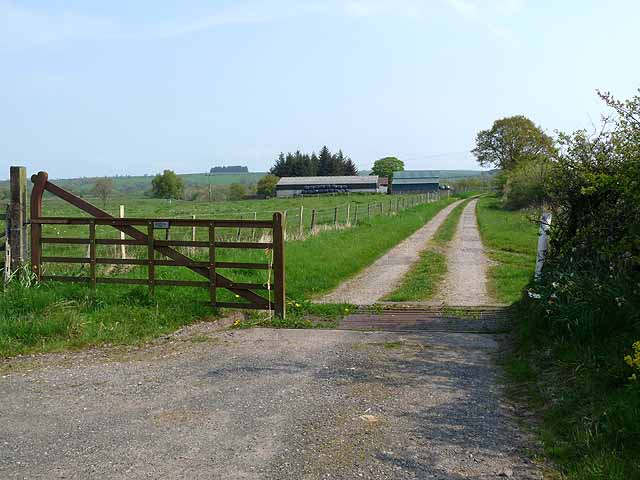
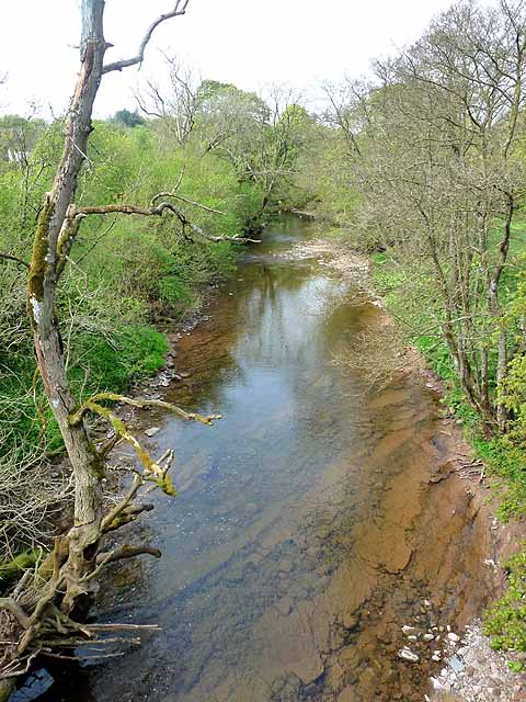
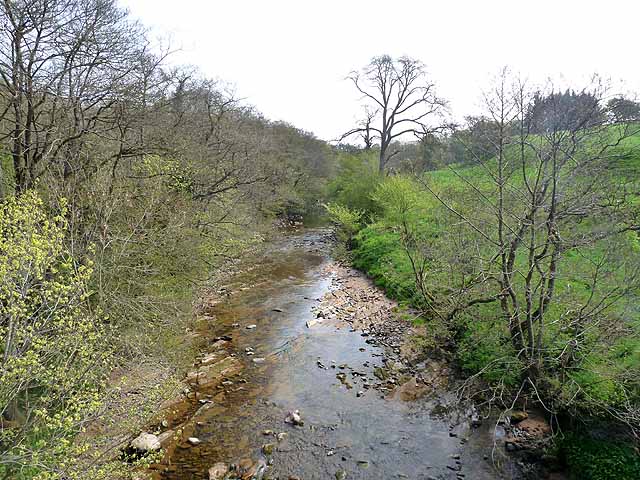
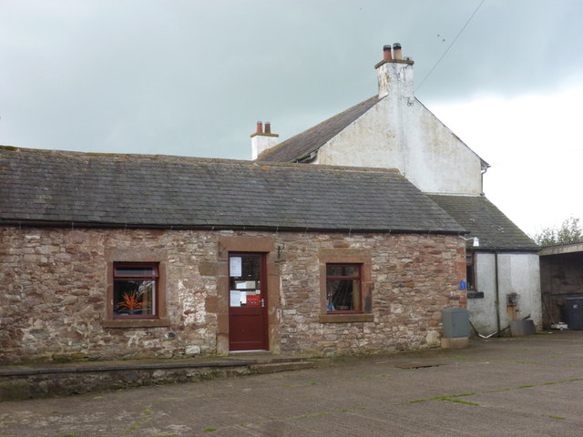
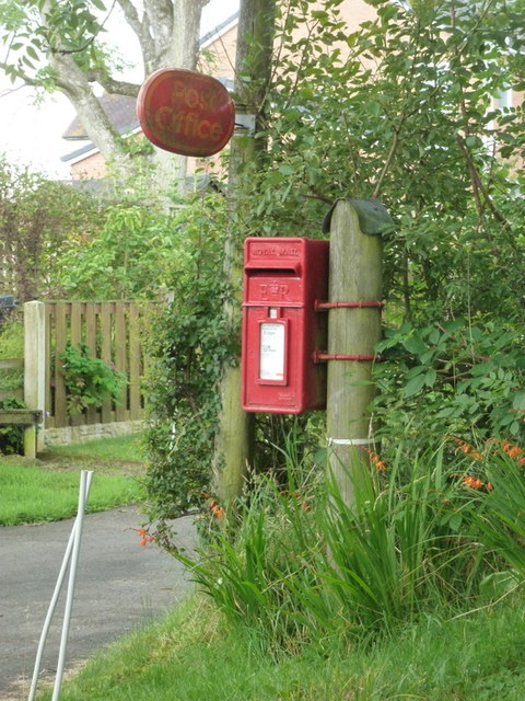
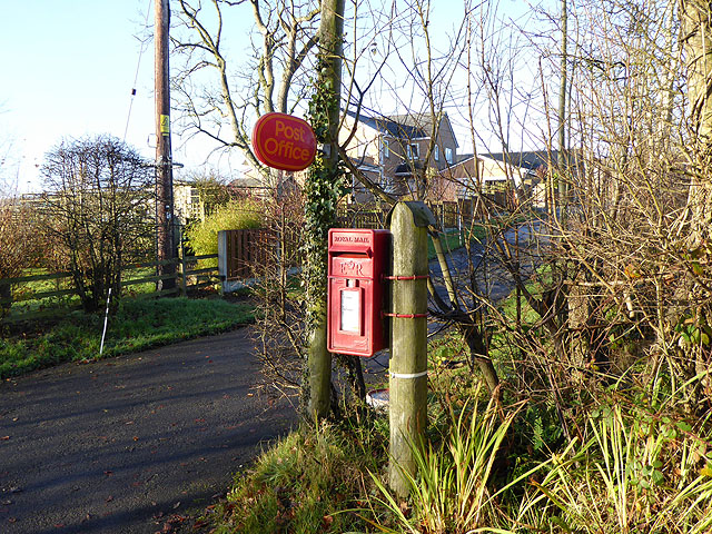
Stapleton Images

Images are sourced within 2km of 55.035041/-2.7768107 or Grid Reference NY5071. Thanks to Geograph Open Source API. All images are credited.

Fields at North Greenhill
The B6318 for Kirkcambeck Taken from near North Greenhill Farm.
The B6318 for Kirkcambeck
Taken from near North Greenhill Farm.
Lyneholmeford village Seen from the north.
Lyneholmeford village
Seen from the north.
Driveway to Millholme Farm Valley of the River Lyne beyond.
Driveway to Millholme Farm
Valley of the River Lyne beyond.
Fellend Farm
Fellend Farm
Low Luckens Farm In the wooded Lyne valley.
Low Luckens Farm
In the wooded Lyne valley.
Selbystown Farm
Selbystown Farm
The White Lyne Looking downstream from Whitelyne Bridge. The confluence with the Black Lyne can just be seen.
The White Lyne
Looking downstream from Whitelyne Bridge. The confluence with the Black Lyne can just be seen.
The White Lyne Looking upstream from Whitelyne Bridge.
The White Lyne
Looking upstream from Whitelyne Bridge.
The entrance to Whiteclose Farm
New Dorryfield Farm
New Dorryfield Farm
Roweltown: the post office The post office, and also local delivery office, is located in the farm barnyard of Gibshill. It must be one of the most rural post offices in the country.
Roweltown: the post office
The post office, and also local delivery office, is located in the farm barnyard of Gibshill. It must be one of the most rural post offices in the country.
Roweltown: postbox № CA6 427 This small postbox stands outside the driveway to the farm Gibshill, in whose barnyard will be found <a href="https://www.geograph.org.uk/photo/3287621">NY4971 : Roweltown: the post office</a>.
Roweltown: postbox № CA6 427
This small postbox stands outside the driveway to the farm Gibshill, in whose barnyard will be found NY4971 : Roweltown: the post office.
Driveway to Gibshill Farm A post box stands by the road, on the way up to the  Roweltown Post Office. In view of the number of small branch post office closures, it is lucky indeed that this remote corner of Cumbria retains such a facility. Only open on Mondays, Tuesdays and Thursdays.
Driveway to Gibshill Farm
A post box stands by the road, on the way up to the Roweltown Post Office. In view of the number of small branch post office closures, it is lucky indeed that this remote corner of Cumbria retains such a facility. Only open on Mondays, Tuesdays and Thursdays.
Country road at Roweltown Flanked by wintry trees.
Country road at Roweltown
Flanked by wintry trees.
Whitelyne Bridge
Whitelyne Bridge
Tree-lined road near Pattie's Hill Farm
Fields near Pattie's Hill Farm
Show me another place!

Stapleton is located at Grid Ref: NY5071 (Lat: 55.035041, Lng: -2.7768107)

Administrative County: Cumbria

District: Carlisle

Police Authority: Cumbria

What 3 Words

///keepers.offshore.drooling. Near Brampton, Cumbria

Related Wikis

Stapleton, Cumbria

Stapleton is a village and civil parish in the City of Carlisle district, in the county of Cumbria, in the North West of England. It falls under the jurisdiction...

Solport

Solport is a civil parish in City of Carlisle district, Cumbria, England. In the 2011 UK Census it had a population of 166. It shares a parish council...

Hethersgill

Hethersgill is a village and a civil parish in the Carlisle district, in the county of Cumbria, England. Hethersgill has a church called St Mary's Church...

Askerton Castle

Askerton Castle is a medieval fortified manor house in Cumbria, England. == History == Askerton Castle was built in the parish of Askerton in Cumbria...

Nearby Amenities

Located within 500m of 55.035041,-2.7768107
Post Box
Ref: CA6 164
Lat/Long: 55.0351061/-2.7767558
Stapleton
Place: hamlet
Source: NLS-OS-1st_Series
Lat/Long: 55.034122/-2.775507
Power: pole
Lat/Long: 55.0343951/-2.7706731
Power: pole
Lat/Long: 55.034671/-2.7718397
Power: pole
Lat/Long: 55.0349469/-2.7729584
Power: pole
Lat/Long: 55.0353849/-2.7747862
Power: pole
Lat/Long: 55.035805/-2.7765158
Power: pole
Lat/Long: 55.0361207/-2.777783
Power: pole
Lat/Long: 55.0364378/-2.7791365
Power: pole
Lat/Long: 55.0367412/-2.7804205
Power: pole
Lat/Long: 55.0372972/-2.7815512
Power: pole
Lat/Long: 55.0378498/-2.7826917
Power: pole
Lat/Long: 55.034752/-2.7753324
Power: pole
Lat/Long: 55.0341301/-2.7758858
Power: pole
Lat/Long: 55.0334739/-2.7764655
Power: pole
Lat/Long: 55.0335563/-2.7781495
Power: pole
Lat/Long: 55.0335123/-2.7772632
Power: pole
Lat/Long: 55.0334835/-2.7768751
Power: pole
Lat/Long: 55.0332528/-2.7759169
Power: pole
Lat/Long: 55.033014/-2.7753204
Power: pole
Lat/Long: 55.0393919/-2.7787293
Power: pole
Lat/Long: 55.0382841/-2.7815536
Power: pole
Lat/Long: 55.0388428/-2.7801019
The data included in this document is from www.openstreetmap.org. The data is made available under ODbL.

Have you been to Stapleton?

Leave your review of Stapleton below (or comments, questions and feedback).