Longrigg Moss
Downs, Moorland in Cumberland Carlisle
England
Longrigg Moss
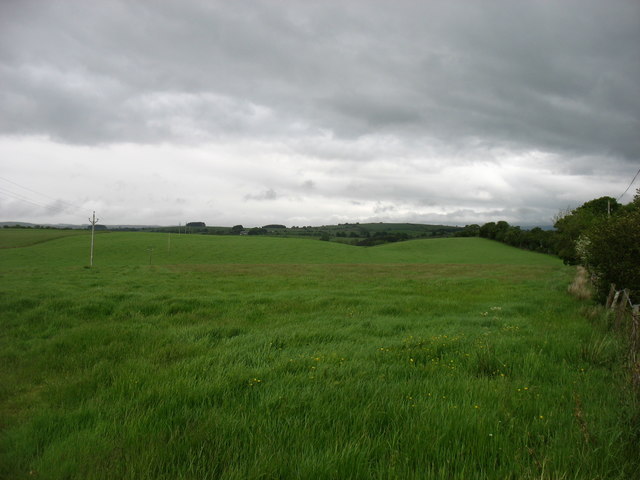
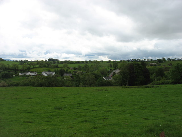
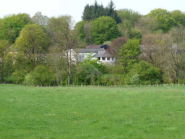
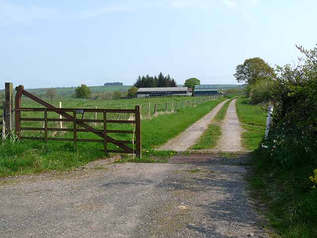
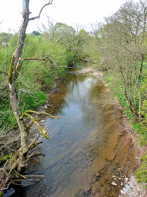
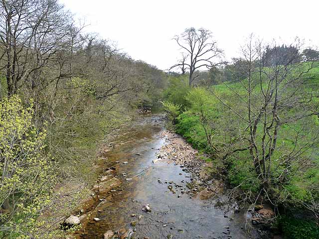
Longrigg Moss is a vast expanse of moorland located in Cumberland, England. Covering an area of approximately 1,500 acres, the moss is situated in the hilly region of the county, characterized by its rolling landscapes and picturesque views. The area is known for its unique blend of wetland and upland habitats, making it a significant ecological site.
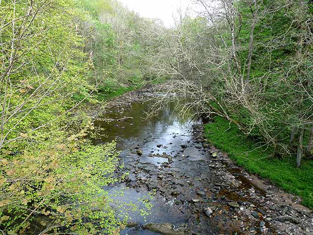
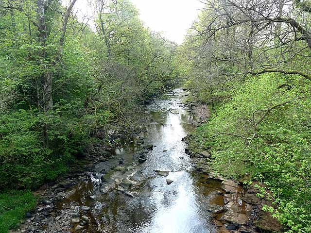
The moss itself is a peat bog, formed over thousands of years through the accumulation of decaying plant matter. This has resulted in a thick layer of peat, creating a distinct landscape with its characteristic wet and spongy ground. The area is dotted with small pools and waterlogged patches, providing a valuable habitat for a variety of plant and animal species.
Longrigg Moss is home to a diverse range of flora and fauna, including several rare and endangered species. It supports a rich array of plant life, such as heather, sphagnum mosses, and carnivorous sundew plants. Various bird species can also be found in the area, including curlews, skylarks, and meadow pipits.
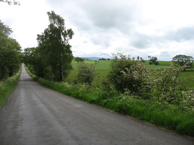
The moss is a popular destination for nature enthusiasts, hikers, and birdwatchers, offering a tranquil escape into the natural beauty of the countryside. The surrounding hills provide stunning panoramic views of the moss and the surrounding countryside, making it a favorite spot for photographers and artists.
Longrigg Moss is a valuable natural resource, contributing to the local biodiversity and acting as a carbon sink due to the peat's ability to store carbon. Efforts are being made to protect and preserve this unique ecosystem, ensuring its conservation for future generations to enjoy.
If you have any feedback on the listing, please let us know in the comments section below.
Longrigg Moss Images
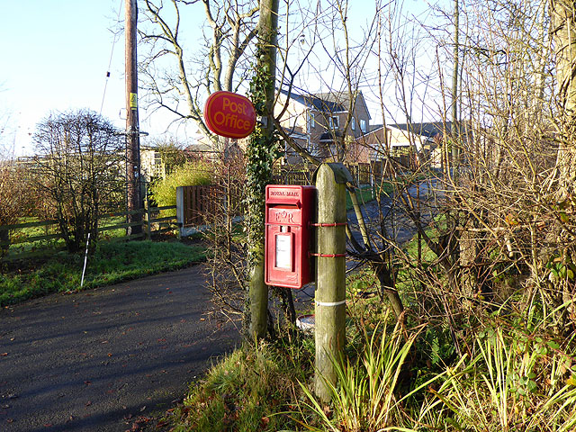
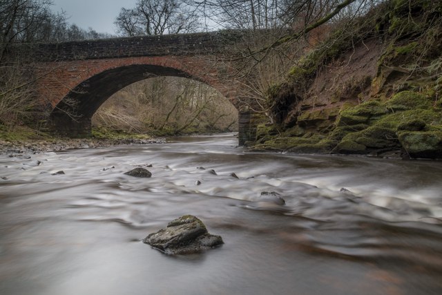
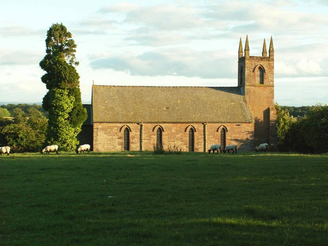
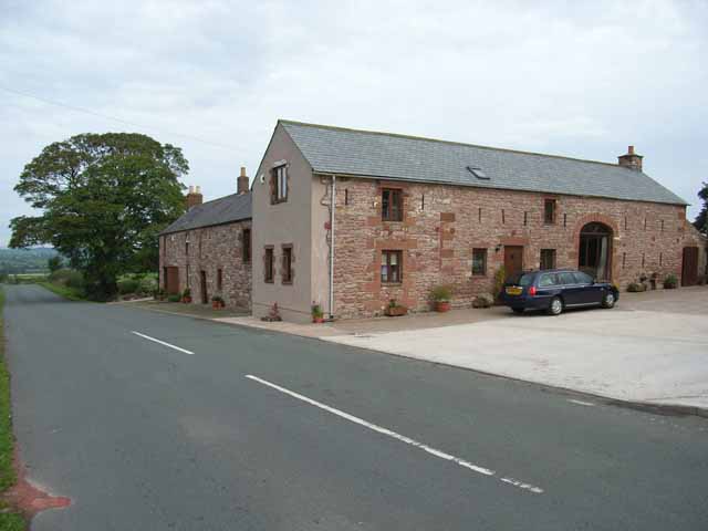
Images are sourced within 2km of 55.03811/-2.7731929 or Grid Reference NY5071. Thanks to Geograph Open Source API. All images are credited.


Longrigg Moss is located at Grid Ref: NY5071 (Lat: 55.03811, Lng: -2.7731929)
Administrative County: Cumbria
District: Carlisle
Police Authority: Cumbria
What 3 Words
///depths.waitress.villa. Near Brampton, Cumbria
Nearby Locations
Related Wikis
Stapleton, Cumbria
Stapleton is a village and civil parish in the City of Carlisle district, in the county of Cumbria, in the North West of England. It falls under the jurisdiction...

Solport
Solport is a civil parish in City of Carlisle district, Cumbria, England. In the 2011 UK Census it had a population of 166.It shares a parish council with...

Askerton Castle
Askerton Castle is a medieval fortified manor house in Cumbria, England. == History == Askerton Castle was built in the parish of Askerton in Cumbria around...

Askerton
Askerton is a civil parish in the City of Carlisle district of Cumbria, England. It has a population of 162 according to the 2001 census, decreasing to...

Hethersgill
Hethersgill is a village and a civil parish in the Carlisle district, in the county of Cumbria, England. Hethersgill has a church called St Mary's Church...
Boltonfellend
Boltonfellend is a village in Cumbria, England. == External links == Media related to Boltonfellend at Wikimedia Commons

Bewcastle Roman Fort
Bewcastle Roman Fort was built to the north of Hadrian's Wall as an outpost fort possibly intended for scouting and intelligence. The remains of the fort...

Blackpool Gate
Blackpool Gate is a settlement in the civil parish of Bewcastle, which is in the district of the City of Carlisle in the county of Cumbria, England. It...
Nearby Amenities
Located within 500m of 55.03811,-2.7731929Have you been to Longrigg Moss?
Leave your review of Longrigg Moss below (or comments, questions and feedback).