Stanzaker Wood
Wood, Forest in Lancashire Wyre
England
Stanzaker Wood
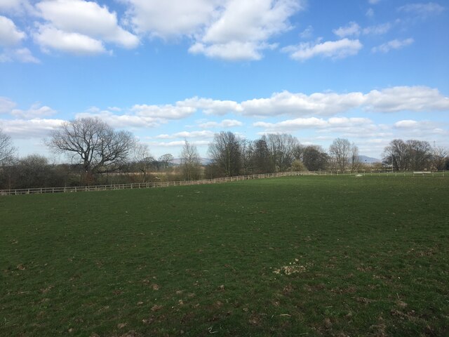
Stanzaker Wood is a picturesque woodland located in Lancashire, England. Covering an area of approximately 100 acres, it is a popular destination for nature lovers and outdoor enthusiasts. The wood is situated near the village of Banks, within close proximity to the larger towns of Southport and Preston.
The wood is primarily composed of native broadleaf trees, including oak, beech, and birch, creating a diverse and enchanting landscape. These trees provide a habitat for a wide range of wildlife, such as deer, foxes, and various bird species, making it a haven for nature enthusiasts and birdwatchers.
Stanzaker Wood offers a network of well-maintained footpaths and trails, allowing visitors to explore its natural beauty at their own pace. The paths wind through the wood, providing opportunities to admire the magnificent trees and observe the resident wildlife. The wood is also home to a number of natural attractions, including a small stream and a tranquil pond, adding to its charm and appeal.
Visitors to Stanzaker Wood can indulge in a variety of outdoor activities, such as walking, jogging, and picnicking. The peaceful atmosphere and serene surroundings make it an ideal spot for relaxation and recreation. Additionally, the wood is a popular location for educational visits and school trips, as it provides a valuable learning environment for students to study the local flora and fauna.
Overall, Stanzaker Wood is a treasured natural asset within Lancashire, offering visitors a chance to immerse themselves in the beauty of the English countryside.
If you have any feedback on the listing, please let us know in the comments section below.
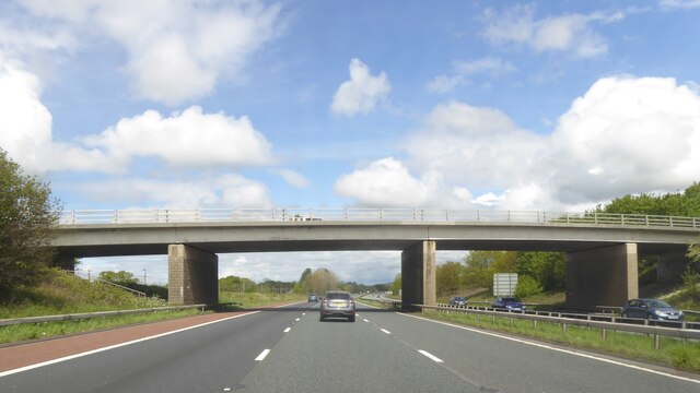
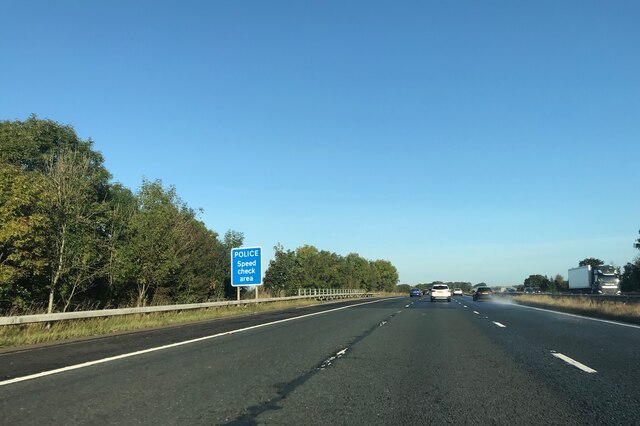
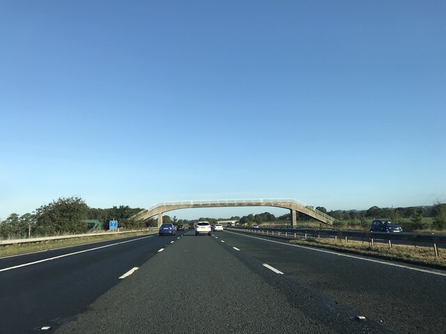
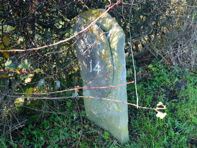
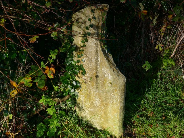
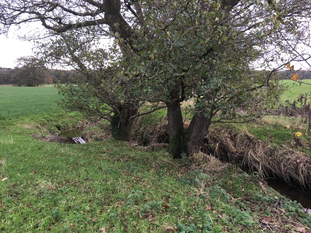
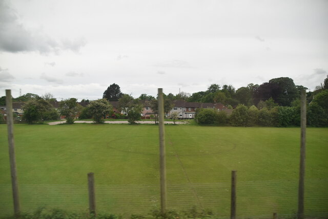
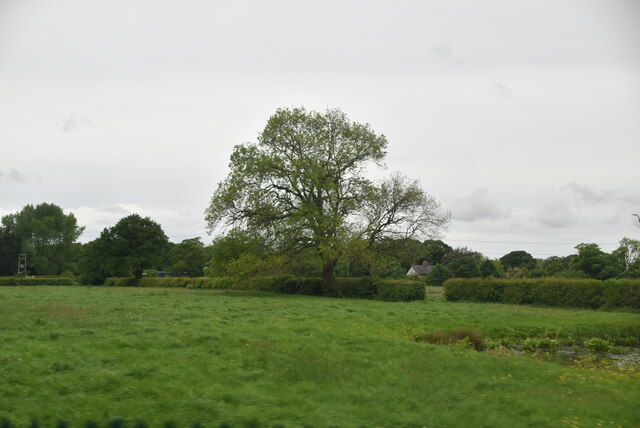
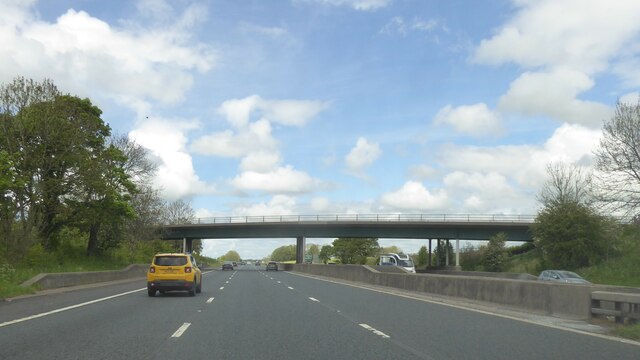
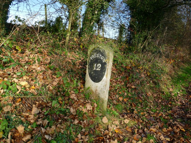
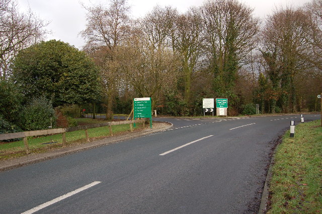
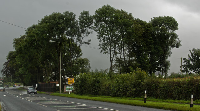
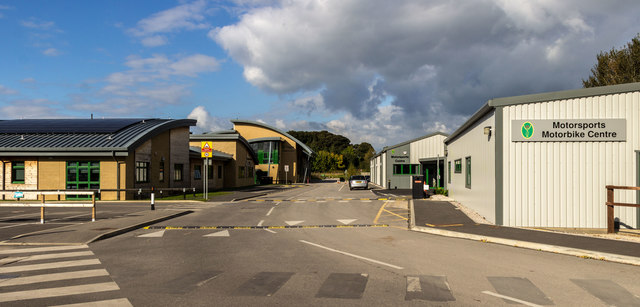
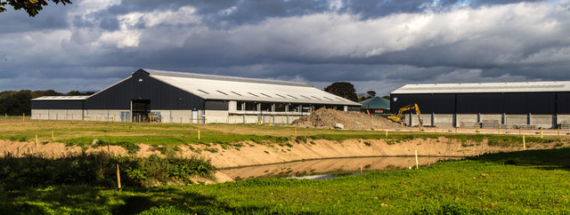
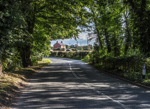
Stanzaker Wood Images
Images are sourced within 2km of 53.863944/-2.7550976 or Grid Reference SD5041. Thanks to Geograph Open Source API. All images are credited.


Stanzaker Wood is located at Grid Ref: SD5041 (Lat: 53.863944, Lng: -2.7550976)
Administrative County: Lancashire
District: Wyre
Police Authority: Lancashire
What 3 Words
///crouches.dime.guilty. Near Catterall, Lancashire
Nearby Locations
Related Wikis
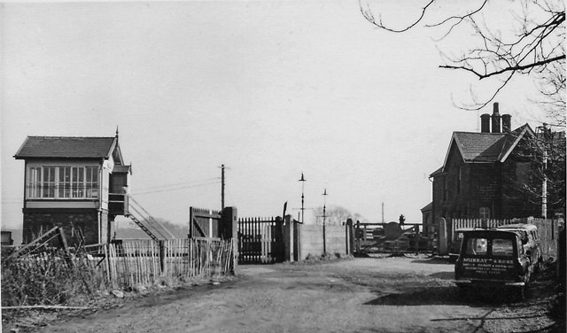
Brock railway station
Brock railway station served the hamlet of Brock near Bilsborrow, Lancashire, England, from 1849 to 1939 on the Lancaster and Preston Junction Railway...

Myerscough College
Myerscough College (pronounced as Myers-coe) is a Higher and Further Education college near Bilsborrow on the Fylde in Lancashire, England. == Origins... ==
Bilsborrow
Bilsborrow is a village and former civil parish, now in the parish of Myerscough and Bilsborrow, in the Wyre district, in the county of Lancashire, England...
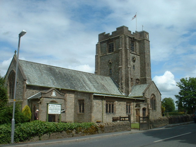
St Hilda's Church, Bilsborrow
St Hilda's Church is in Bilsborrow Lane in the village of Bilsborrow, Lancashire, England. It is an active Anglican parish church in the deanery of Garstang...
Myerscough and Bilsborrow
Myerscough and Bilsborrow () is a civil parish in the Borough of Wyre in Lancashire, England. It was formed on 1 April 2003 as a merger of the former parishes...
Roebuck railway station
Roebuck railway station served the village of Bilsborrow, Lancashire, England, from 1840 to 1849 on the Lancaster and Preston Junction Railway. == History... ==
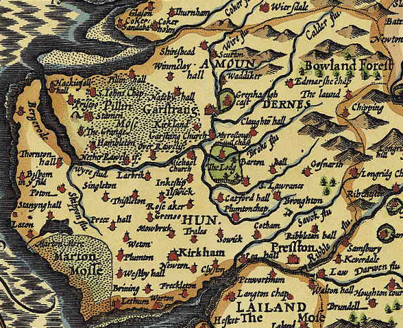
Amounderness Hundred
The Amounderness Hundred ( ə-MUN-dər-nəs) is one of the six subdivisions of the historic county of Lancashire in North West England, but the name is older...

Catterall
Catterall is a village and civil parish in the borough of Wyre, Lancashire, England. Historically in the Amounderness Hundred, it is situated on the A6...
Nearby Amenities
Located within 500m of 53.863944,-2.7550976Have you been to Stanzaker Wood?
Leave your review of Stanzaker Wood below (or comments, questions and feedback).