Bob's Wood
Wood, Forest in Lancashire Wyre
England
Bob's Wood
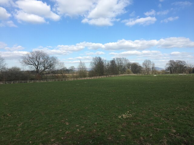
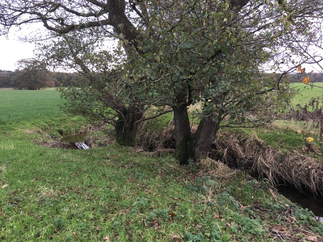
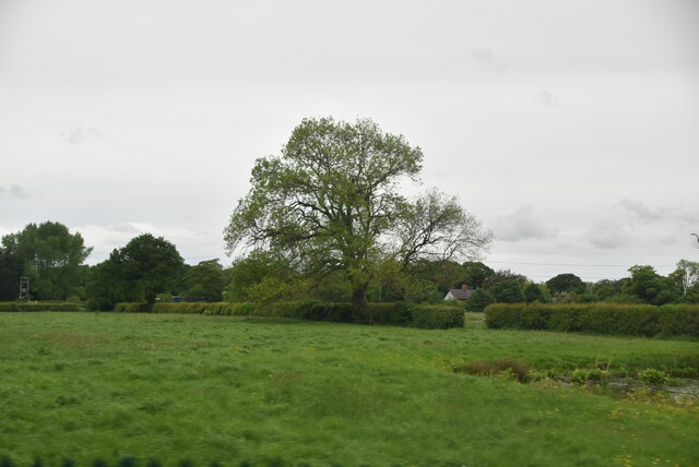
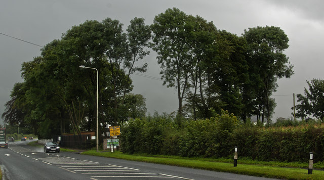
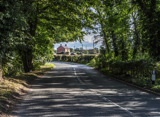
Bob's Wood is a picturesque forest located in the heart of Lancashire, England. With its lush greenery and serene ambiance, it serves as a popular destination for nature enthusiasts and hikers alike. Spanning an area of approximately 50 hectares, this wood is a haven for various species of flora and fauna, offering a refreshing escape from the bustling city life.
The wood is predominantly composed of deciduous trees, such as oak, beech, and ash, which create a vibrant canopy, especially during the spring and summer seasons. The forest floor is covered with a dense layer of moss, ferns, and wildflowers, adding to its natural charm. The air is filled with the sweet scent of pine and the melodious chirping of birds, creating a tranquil atmosphere throughout the year.
The wood is crisscrossed with well-maintained walking trails, allowing visitors to explore its beauty at their own pace. These trails lead to hidden gems like enchanting streams, small ponds, and picturesque picnic spots, providing an opportunity for visitors to connect with nature and indulge in outdoor activities.
Bob's Wood is also home to a diverse range of wildlife, including deer, rabbits, squirrels, and a variety of bird species. Wildlife enthusiasts can enjoy observing these animals in their natural habitat, making it an ideal spot for birdwatching and wildlife photography.
Overall, Bob's Wood is a delightful destination for nature lovers, offering a serene and immersive experience in the heart of Lancashire. Its natural beauty, well-maintained trails, and abundant wildlife make it a must-visit location for anyone seeking to reconnect with nature.
If you have any feedback on the listing, please let us know in the comments section below.
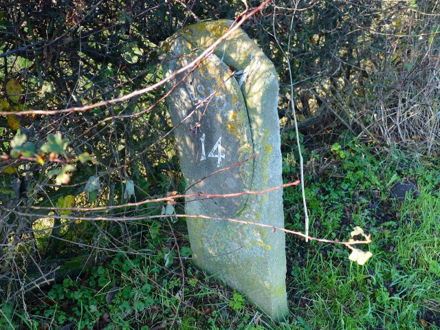
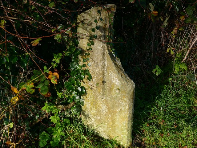
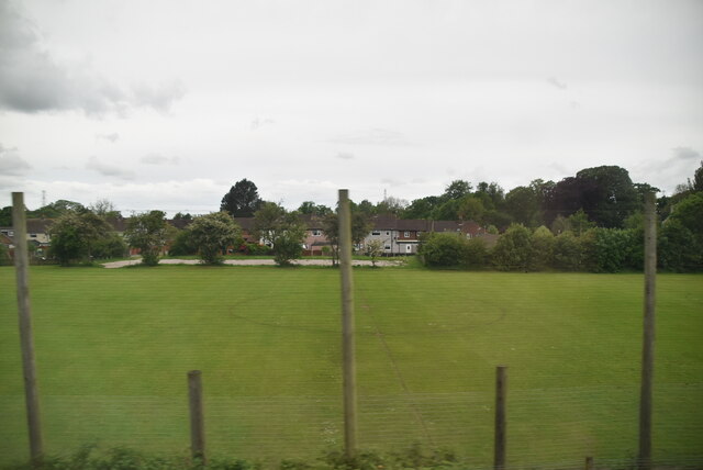
Bob's Wood Images
Images are sourced within 2km of 53.864175/-2.7511938 or Grid Reference SD5041. Thanks to Geograph Open Source API. All images are credited.


Bob's Wood is located at Grid Ref: SD5041 (Lat: 53.864175, Lng: -2.7511938)
Administrative County: Lancashire
District: Wyre
Police Authority: Lancashire
What 3 Words
///fixed.flickers.view. Near Catterall, Lancashire
Nearby Locations
Related Wikis
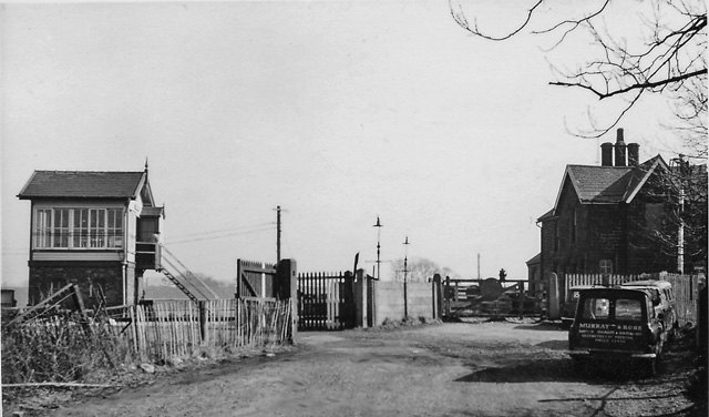
Brock railway station
Brock railway station served the hamlet of Brock near Bilsborrow, Lancashire, England, from 1849 to 1939 on the Lancaster and Preston Junction Railway...
Bilsborrow
Bilsborrow is a village and former civil parish, now in the parish of Myerscough and Bilsborrow, in the Wyre district, in the county of Lancashire, England...

Myerscough College
Myerscough College (pronounced as Myers-coe) is a Higher and Further Education college near Bilsborrow on the Fylde in Lancashire, England. == Origins... ==
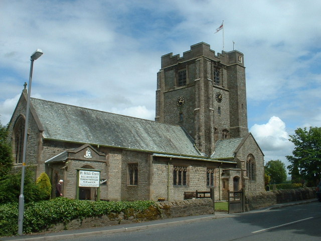
St Hilda's Church, Bilsborrow
St Hilda's Church is in Bilsborrow Lane in the village of Bilsborrow, Lancashire, England. It is an active Anglican parish church in the deanery of Garstang...
Roebuck railway station
Roebuck railway station served the village of Bilsborrow, Lancashire, England, from 1840 to 1849 on the Lancaster and Preston Junction Railway. == History... ==
Myerscough and Bilsborrow
Myerscough and Bilsborrow () is a civil parish in the Borough of Wyre in Lancashire, England. It was formed on 1 April 2003 as a merger of the former parishes...

Catterall
Catterall is a village and civil parish in the borough of Wyre, Lancashire, England. Historically in the Amounderness Hundred, it is situated on the A6...
Amounderness Hundred
The Amounderness Hundred ( ə-MUN-dər-nəs) is one of the six subdivisions of the historic county of Lancashire in North West England, but the name is older...
Nearby Amenities
Located within 500m of 53.864175,-2.7511938Have you been to Bob's Wood?
Leave your review of Bob's Wood below (or comments, questions and feedback).