Butter Basin Wood
Wood, Forest in Lancashire Wyre
England
Butter Basin Wood
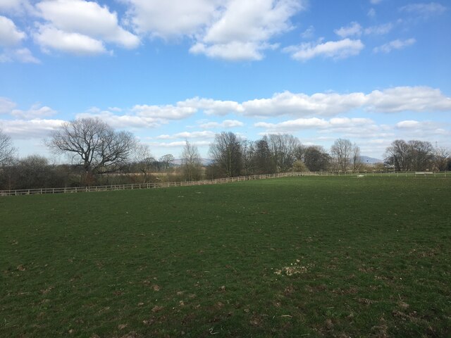
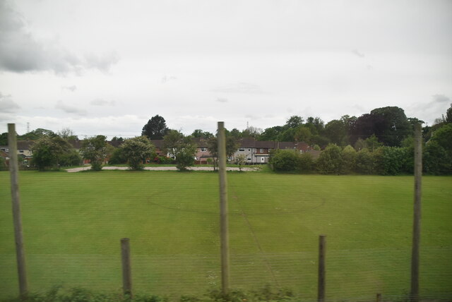
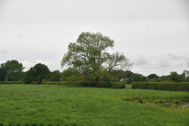
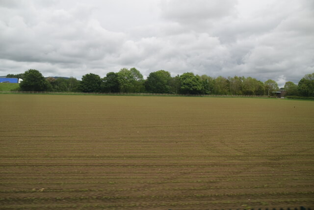
Butter Basin Wood is a picturesque forest located in the county of Lancashire, England. Situated in the tranquil countryside, this wood is known for its natural beauty and diverse ecosystem. Spanning over a vast area, it offers a serene environment for visitors to immerse themselves in nature.
The wood is predominantly made up of various species of trees, including oak, beech, and birch, creating a dense canopy that provides shelter for a wide range of wildlife. The forest floor is covered in a thick layer of moss and fallen leaves, adding to its enchanting atmosphere.
A network of walking trails meanders through the wood, allowing visitors to explore its splendor at their own pace. These paths lead to hidden gems such as babbling brooks, small ponds, and meadows bursting with wildflowers. Birdwatchers will be delighted by the abundance of avian species that call Butter Basin Wood their home, including woodpeckers, owls, and thrushes.
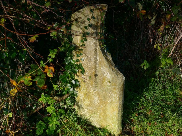
The wood has a rich history, with evidence of human activity dating back centuries. It was once used as a source of timber for local communities, and remnants of old charcoal pits can still be found within its boundaries. Today, it is managed by a local conservation group that ensures its preservation and protection.
Butter Basin Wood is a haven for nature enthusiasts and those seeking a peaceful retreat from the bustle of modern life. Its natural beauty, diverse wildlife, and historical significance make it a must-visit destination for anyone looking to connect with the great outdoors.
If you have any feedback on the listing, please let us know in the comments section below.
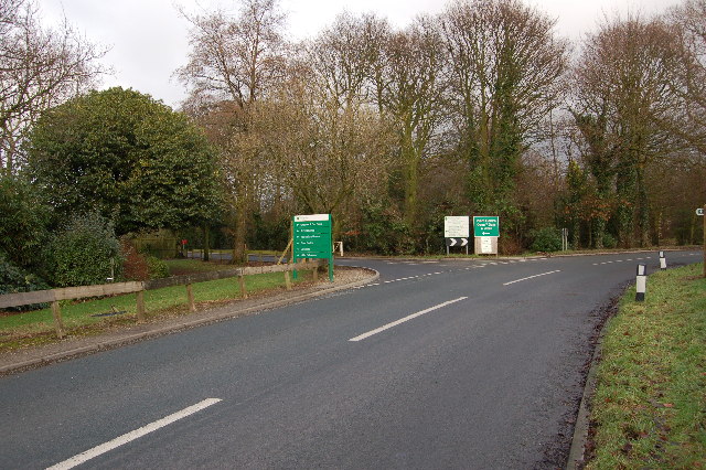
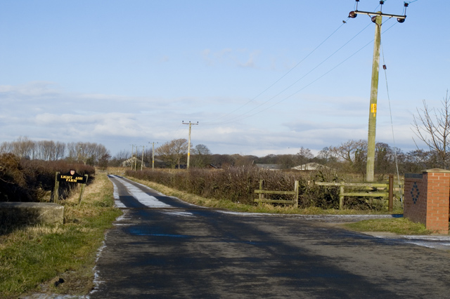
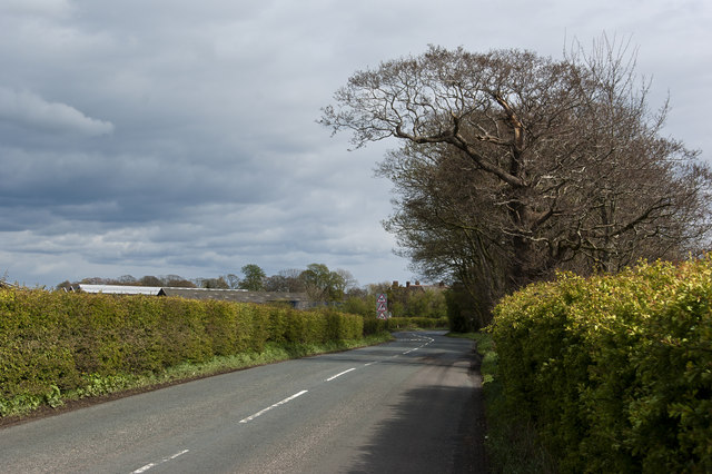
Butter Basin Wood Images
Images are sourced within 2km of 53.863222/-2.7611973 or Grid Reference SD5041. Thanks to Geograph Open Source API. All images are credited.


Butter Basin Wood is located at Grid Ref: SD5041 (Lat: 53.863222, Lng: -2.7611973)
Administrative County: Lancashire
District: Wyre
Police Authority: Lancashire
What 3 Words
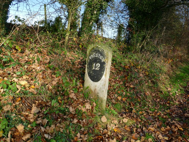
///graphics.nicely.after. Near Catterall, Lancashire
Nearby Locations
Related Wikis

Myerscough College
Myerscough College (pronounced as Myers-coe) is a Higher and Further Education college near Bilsborrow on the Fylde in Lancashire, England. == Origins... ==
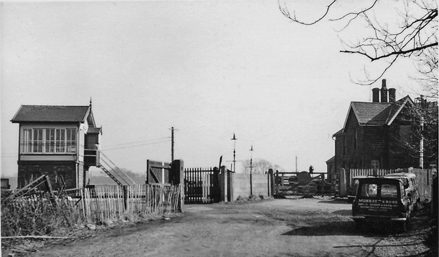
Brock railway station
Brock railway station served the hamlet of Brock near Bilsborrow, Lancashire, England, from 1849 to 1939 on the Lancaster and Preston Junction Railway...
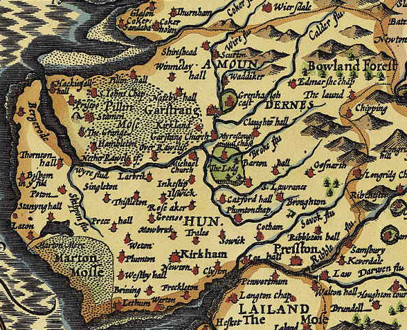
Amounderness Hundred
The Amounderness Hundred ( ə-MUN-dər-nəs) is one of the six subdivisions of the historic county of Lancashire in North West England, but the name is older...
Bilsborrow
Bilsborrow is a village and former civil parish, now in the parish of Myerscough and Bilsborrow, in the Wyre district, in the county of Lancashire, England...
Have you been to Butter Basin Wood?
Leave your review of Butter Basin Wood below (or comments, questions and feedback).