Corfton Plantation
Wood, Forest in Shropshire
England
Corfton Plantation
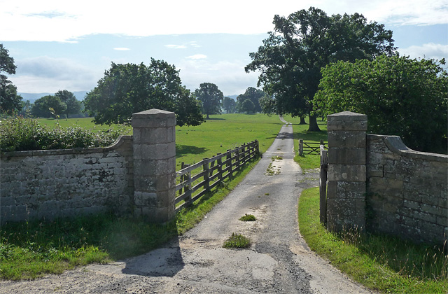
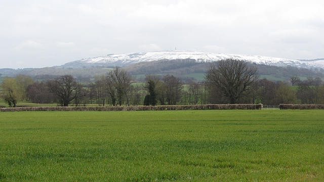
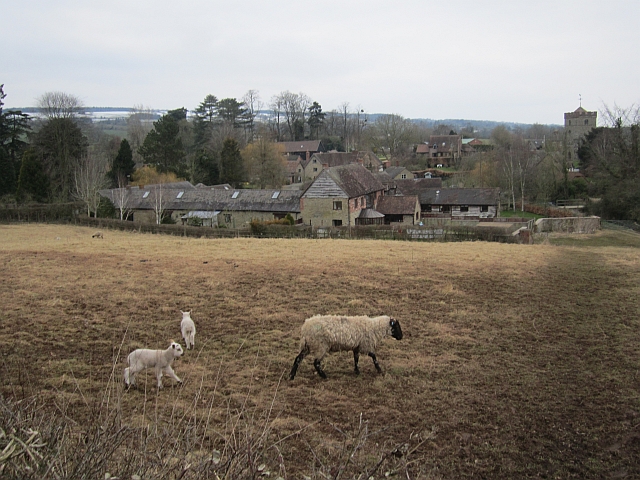
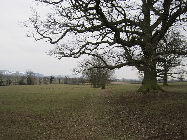
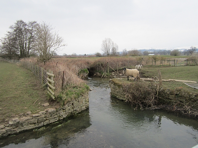
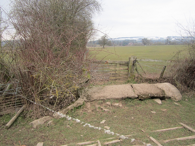
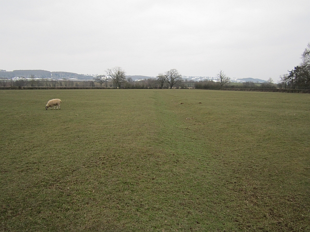
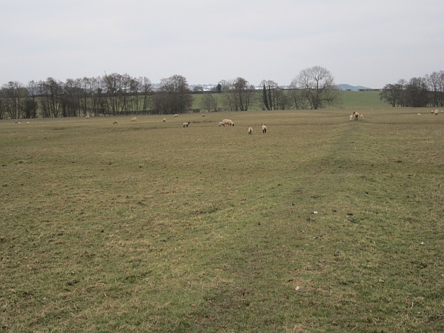
Corfton Plantation, located in Shropshire, England, is a picturesque woodland area known for its natural beauty and diverse flora and fauna. Covering an expansive area, the plantation is a popular destination for nature enthusiasts and those seeking tranquility amidst the lush greenery.
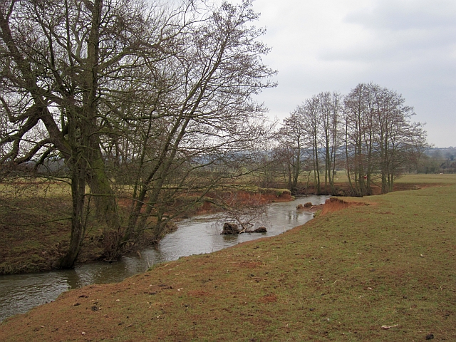
The woodland is predominantly made up of deciduous trees, including oak, beech, and birch, with their vibrant foliage creating a colorful spectacle during the autumn months. The trees provide a habitat for various wildlife, including deer, foxes, and a multitude of bird species. Birdwatchers are often delighted by sightings of woodpeckers, owls, and thrushes.
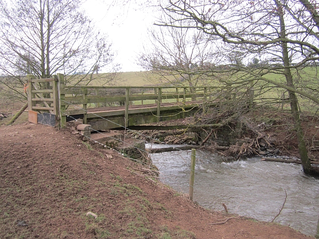
Numerous walking trails and pathways crisscross the plantation, allowing visitors to explore its hidden treasures. The well-maintained paths make it accessible to people of all ages and abilities, making it a perfect location for a leisurely stroll or a more challenging hike.
Corfton Plantation offers a range of recreational activities for visitors. Picnic areas are scattered throughout the woodland, providing an opportunity to relax and enjoy a meal amidst the natural surroundings. The plantation also boasts a designated camping area, allowing nature enthusiasts to extend their stay and immerse themselves in the tranquility of the woodland.
Throughout the year, the plantation hosts various events and workshops, including guided nature walks, photography classes, and educational programs for children. These activities aim to promote environmental awareness and appreciation for the natural world.
Corfton Plantation is a true gem within Shropshire, offering a serene escape from the hustle and bustle of everyday life and providing an opportunity to reconnect with nature in all its splendor.
If you have any feedback on the listing, please let us know in the comments section below.
Corfton Plantation Images
Images are sourced within 2km of 52.46157/-2.7331212 or Grid Reference SO5085. Thanks to Geograph Open Source API. All images are credited.


Corfton Plantation is located at Grid Ref: SO5085 (Lat: 52.46157, Lng: -2.7331212)
Unitary Authority: Shropshire
Police Authority: West Mercia
What 3 Words
///punctuate.highlight.these. Near Craven Arms, Shropshire
Nearby Locations
Related Wikis
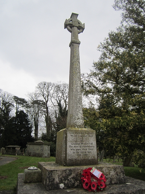
Diddlebury
Diddlebury is a small village and large civil parish in Shropshire, England. It is situated in the Corvedale on the B4368 road about 5 miles (8 km) north...

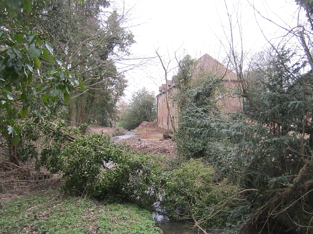
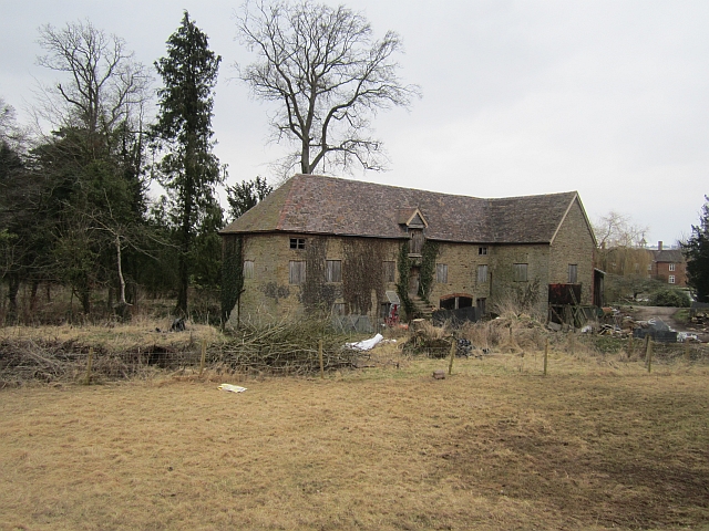
Bache Mill
Bache Mill is a village in Shropshire, England.

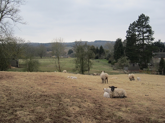
Corfton
Corfton is a small village in Shropshire, England, located 4.5 miles (7.2 km) east of Craven Arms and 7.5 miles (12.1 km) north of Ludlow, the two nearest...

The White House, Aston Munslow
The White House in Aston Munslow, Shropshire, England is a medieval hall house that has undergone considerable alteration over the centuries. It is a grade...
Nearby Amenities
Located within 500m of 52.46157,-2.7331212Have you been to Corfton Plantation?
Leave your review of Corfton Plantation below (or comments, questions and feedback).