Mill Common
Wood, Forest in Herefordshire
England
Mill Common
Mill Common is a picturesque woodland located in Herefordshire, England. Situated on the outskirts of a small village, it covers an area of approximately 50 acres and is known for its abundant natural beauty and diverse wildlife.
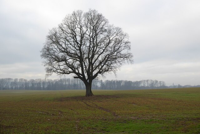
The woodland is characterized by a dense canopy of mature trees, including oak, birch, and beech, which provide a stunning display of colors throughout the year. These trees create a serene and peaceful atmosphere, making it a popular destination for nature enthusiasts and photographers.
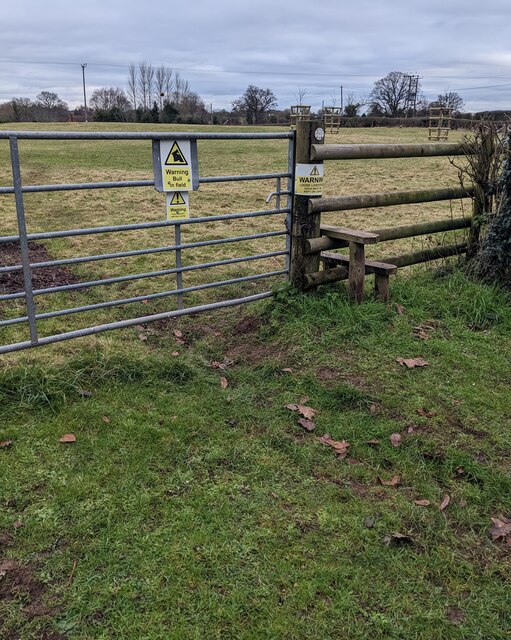
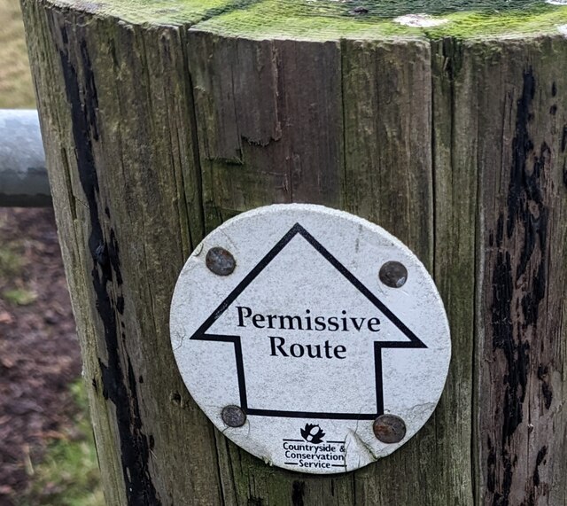
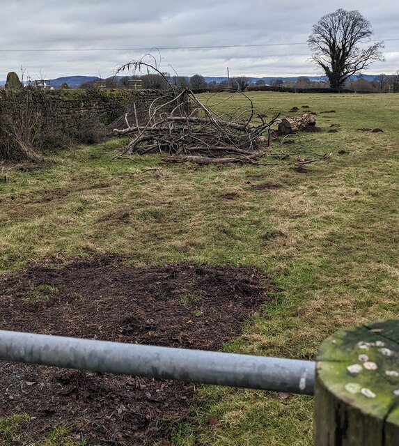
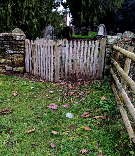
The forest floor is covered in a lush carpet of ferns, moss, and wildflowers, adding to the overall charm of the area. Walking trails wind their way through the woodland, allowing visitors to explore and discover its hidden treasures. The trails are well-maintained, making it accessible for people of all ages and fitness levels.
Wildlife thrives in Mill Common, with a variety of animals making it their home. Visitors may spot deer, badgers, rabbits, and a wide range of bird species, including woodpeckers, owls, and thrushes. The presence of a tranquil stream running through the woodland adds to the diversity of the ecosystem, attracting an array of aquatic creatures and insects.
The beauty and tranquility of Mill Common make it a popular spot for outdoor activities such as picnics, nature walks, and birdwatching. It also serves as an important educational resource, with local schools frequently organizing field trips to learn about the local flora and fauna.
Overall, Mill Common is a hidden gem in Herefordshire, offering a tranquil escape from the hustle and bustle of everyday life, and providing a haven for both nature lovers and wildlife alike.
If you have any feedback on the listing, please let us know in the comments section below.
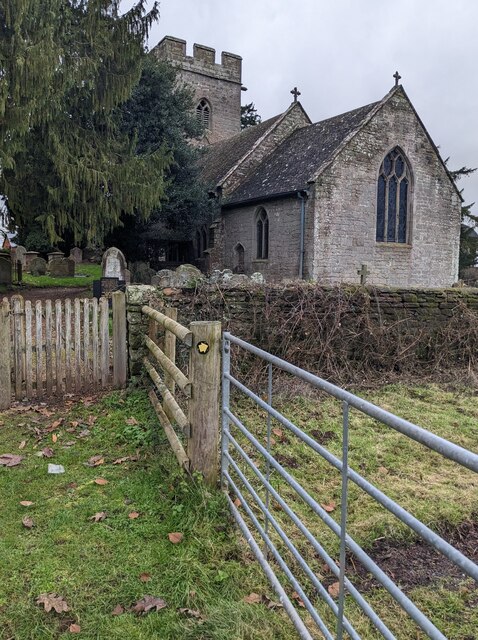
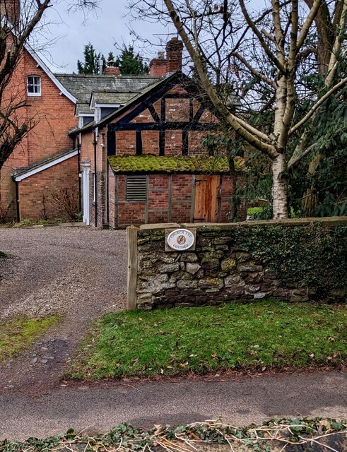
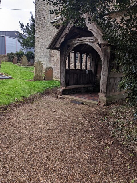
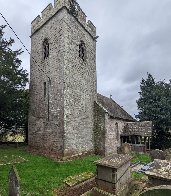
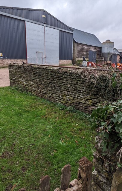
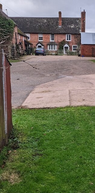
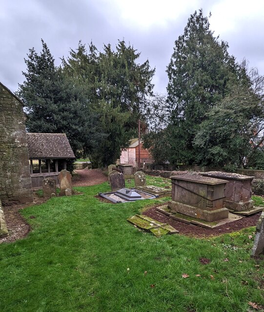
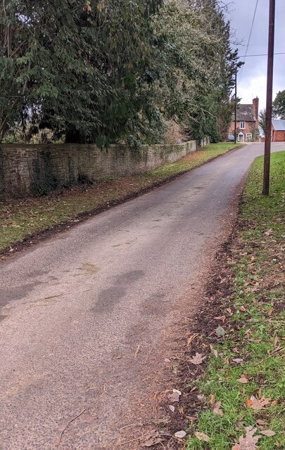
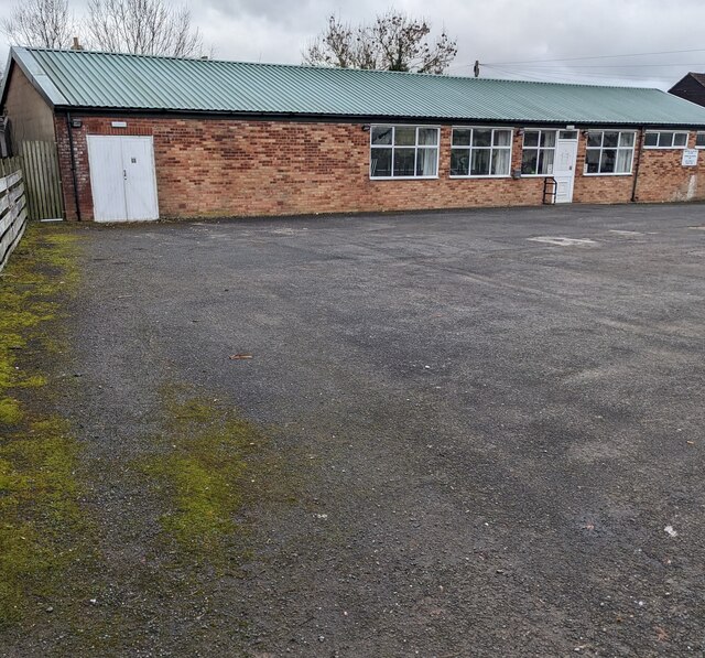
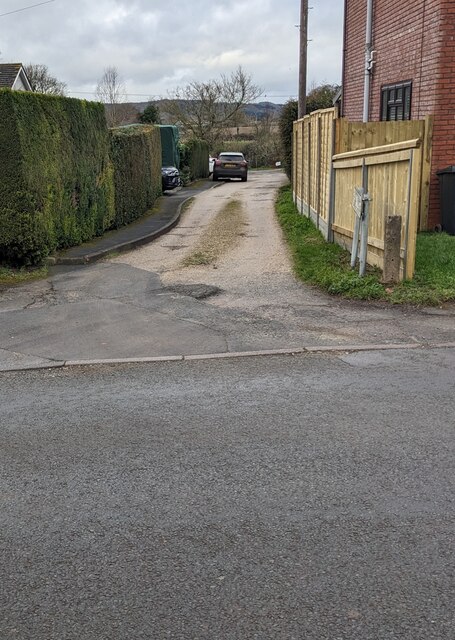
Mill Common Images
Images are sourced within 2km of 52.017716/-2.8320866 or Grid Reference SO4235. Thanks to Geograph Open Source API. All images are credited.
Mill Common is located at Grid Ref: SO4235 (Lat: 52.017716, Lng: -2.8320866)
Unitary Authority: County of Herefordshire
Police Authority: West Mercia
What 3 Words
///masterpiece.lawn.infinite. Near Kingstone, Herefordshire
Nearby Locations
Related Wikis

Kingstone High School
Kingstone High School is a mixed secondary school located in Kingstone in the English county of Herefordshire.Previously a community school administered...
Kingstone, Herefordshire
Kingstone is a civil parish and a large village in rural Herefordshire, England. It lies within the historic area of Archenfield, near the Welsh border...

Thruxton, Herefordshire
Thruxton is a small rural village and civil parish in Herefordshire, England. It is located within the historic area of Archenfield, near the Welsh border...
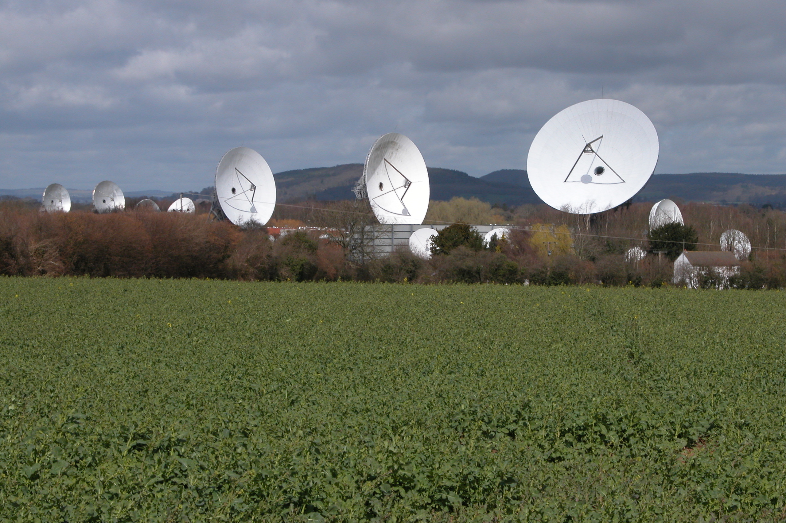
Madley Communications Centre
Madley Communications Centre is BT Group's earth satellite tracking station, between Madley and Kingstone, Herefordshire, England. == Earth position... ==
RAF Madley
Royal Air Force Madley, or more simply RAF Madley, was a Royal Air Force station situated 6.2 miles (10 km) south west of Hereford in Herefordshire, England...

Clehonger
Clehonger is a village and civil parish in Herefordshire, England, and 7 km (4.3 mi) south-west of Hereford. Clehonger is from the old English 'Clayey...
Treville, Herefordshire
Treville (called in Welsh Trefelin) is a rural area and former royal forest in the English county of Herefordshire. It is near Wormbridge and other small...

Allensmore
Allensmore is a village in Herefordshire, England. It is located on the A465 road about 4 miles (6 km) south-west of Hereford. The church is dedicated...
Nearby Amenities
Located within 500m of 52.017716,-2.8320866Have you been to Mill Common?
Leave your review of Mill Common below (or comments, questions and feedback).