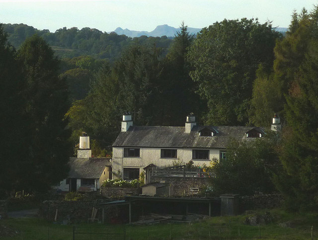
Foxhole Plantation

Wood, Forest in Westmorland South Lakeland

England

Foxhole Plantation

Mireside Farm
Mireside Farm Credit: Anthony Parkes

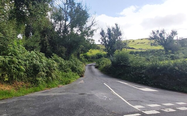
Foxhole Plantation is a picturesque woodland located in Westmorland, a county in the northwest region of England. Stretching across acres of lush greenery, this enchanting forest is a haven for nature enthusiasts and outdoor lovers alike.

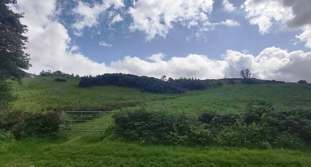
The plantation is known for its dense population of various tree species, including oak, beech, and pine, creating a diverse and vibrant ecosystem. The towering trees provide a majestic canopy, filtering sunlight and creating a cool and tranquil atmosphere within the forest.

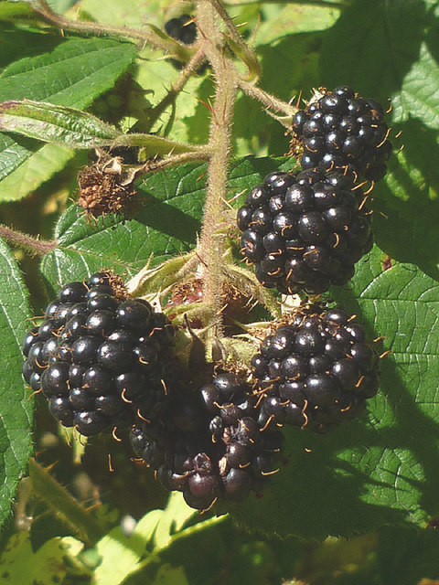
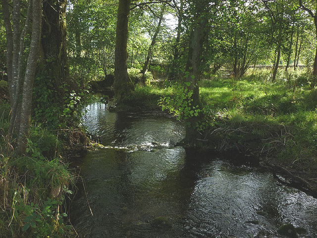
As visitors venture further into the woodland, they will discover a network of well-maintained walking trails, allowing them to explore the plantation's breathtaking scenery. These trails wind through the forest, revealing hidden gems such as babbling brooks, small ponds, and a multitude of flora and fauna.

Foxhole Plantation is also home to a wide array of wildlife. Birdwatchers will delight in spotting species such as woodpeckers, owls, and jays, while deer and foxes can occasionally be glimpsed stealthily roaming through the undergrowth.

The plantation offers a range of activities for visitors to enjoy. From peaceful picnics in designated areas to invigorating hikes, there is something for everyone. The management team also organizes educational programs and guided tours, providing valuable insights into the forest's conservation efforts and the importance of protecting the local environment.

Overall, Foxhole Plantation is a captivating destination, offering a serene escape from the hustle and bustle of everyday life. Its natural beauty and diverse ecosystem make it a must-visit location for those seeking a peaceful retreat in the heart of Westmorland's woodlands.

If you have any feedback on the listing, please let us know in the comments section below.

Foxhole Plantation Images

Images are sourced within 2km of 54.324185/-2.8778215 or Grid Reference SD4392. Thanks to Geograph Open Source API. All images are credited.

Mireside Farm
Mireside Farm
Tarnside Farm
Tarnside Farm
Head Lane
Head Lane
Hubbersty Head Lane
Hubbersty Head Lane
Track up Windyhowe Hill
Footpath towards Bryan Houses Plantation
The Brown Horse Public House at Winster
2015 - a great year for blackberries The hedgerows this autumn have been full of juicy blackberries, the best I can recall for some time. This particular bunch near Crosthwaite did not long survive the photograph!
2015 - a great year for blackberries
The hedgerows this autumn have been full of juicy blackberries, the best I can recall for some time. This particular bunch near Crosthwaite did not long survive the photograph!
Outbuildings at Hardriggs, Crosthwaite Former farm buildings, they look too clean and tidied-up to be still used as such. A planning application has been passed for its conversion to a dwelling <span class="nowrap"><a title="http://www.lakedistrict.gov.uk/swiftlg/apas/run/WPHAPPDETAIL.DisplayUrl?theApnID=7/2015/5225&theTabNo=3&backURL=%3Ca%20href=wphappcriteria.display%3ESearch%20Criteria%3C/a%3E%20%3E%20%3Ca%20href=%27wphappsearchres.displayResultsURL?ResultID=1044769%26StartIndex=41%26SortOrder=apnkey%20desc%26DispResultsAs=WPHAPPSEARCHRES%26BackURL=%3Ca%20href=wphappcriteria.display%3ESearch%20Criteria%3C/a%3E%27%3ESearch%20Results%3C/a%3E" rel="nofollow ugc noopener" href="http://www.lakedistrict.gov.uk/swiftlg/apas/run/WPHAPPDETAIL.DisplayUrl?theApnID=7/2015/5225&theTabNo=3&backURL=%3Ca%20href=wphappcriteria.display%3ESearch%20Criteria%3C/a%3E%20%3E%20%3Ca%20href=%27wphappsearchres.displayResultsURL?ResultID=1044769%26StartIndex=41%26SortOrder=apnkey%20desc%26DispResultsAs=WPHAPPSEARCHRES%26BackURL=%3Ca%20href=wphappcriteria.display%3ESearch%20Criteria%3C/a%3E%27%3ESearch%20Results%3C/a%3E">Link</a><img style="margin-left:2px;" alt="External link" title="External link - shift click to open in new window" src="https://s1.geograph.org.uk/img/external.png" width="10" height="10"/></span>
Outbuildings at Hardriggs, Crosthwaite
Former farm buildings, they look too clean and tidied-up to be still used as such. A planning application has been passed for its conversion to a dwelling LinkExternal link
Birk Moss A zoom shot of the cattle and sheep farm from high ground to the south east. The shot shows the contrast between the rolling Silurian slate country near Windermere and the more rugged volcanic rocks of the higher central fells. The Langdale Pikes, particularly, stand out on the skyline.
Birk Moss
A zoom shot of the cattle and sheep farm from high ground to the south east. The shot shows the contrast between the rolling Silurian slate country near Windermere and the more rugged volcanic rocks of the higher central fells. The Langdale Pikes, particularly, stand out on the skyline.
The River Gilpin below Foxhole Bank Viewed from the bridge that carries the access track/footpath.
The River Gilpin below Foxhole Bank
Viewed from the bridge that carries the access track/footpath.
Thornyfields in the Gilpin Valley Typical Lakeland cottages below the steep, wooded bank of Bowmabble Breast. From the heights of Hart Howe it is possible to see the distant Coniston fells beyond.
Thornyfields in the Gilpin Valley
Typical Lakeland cottages below the steep, wooded bank of Bowmabble Breast. From the heights of Hart Howe it is possible to see the distant Coniston fells beyond.
Footbridge over the Gilpin at Dodds Howe, Crosthwaite This simple stone slab bridge is possibly 18th or 19th century and is a Grade II listed structure <span class="nowrap"><a title="http://www.britishlistedbuildings.co.uk/en-77098-footbridge-approximately-70-metres-to-wes#.VglcRH06tI4" rel="nofollow ugc noopener" href="http://www.britishlistedbuildings.co.uk/en-77098-footbridge-approximately-70-metres-to-wes#.VglcRH06tI4">Link</a><img style="margin-left:2px;" alt="External link" title="External link - shift click to open in new window" src="https://s1.geograph.org.uk/img/external.png" width="10" height="10"/></span>
Footbridge over the Gilpin at Dodds Howe, Crosthwaite
This simple stone slab bridge is possibly 18th or 19th century and is a Grade II listed structure LinkExternal link
Mirk Howe Large house above the River Gilpin near Crosthwaite.
Mirk Howe
Large house above the River Gilpin near Crosthwaite.
Heading for the Gilpin A pleasant route descends through pastureland from Head Lane down towards the River Gilpin.
Heading for the Gilpin
A pleasant route descends through pastureland from Head Lane down towards the River Gilpin.
Mossy drystone wall An indicator of the often damp climate up here.
Mossy drystone wall
An indicator of the often damp climate up here.
Birk Moss (2) A zoom shot of the cattle and sheep farm from high ground to the south east. The shot shows the contrast between the rolling Silurian slate country near Windermere and the more rugged volcanic rocks of the higher fells (left to right: Wetherlam, Crinkle Crags, Bow Fell and Great Gable).
Birk Moss (2)
A zoom shot of the cattle and sheep farm from high ground to the south east. The shot shows the contrast between the rolling Silurian slate country near Windermere and the more rugged volcanic rocks of the higher fells (left to right: Wetherlam, Crinkle Crags, Bow Fell and Great Gable).
Greenbank Farm The distinctive outline of the Langdale Pikes on the skyline.
Greenbank Farm
The distinctive outline of the Langdale Pikes on the skyline.
Show me another place!

Foxhole Plantation is located at Grid Ref: SD4392 (Lat: 54.324185, Lng: -2.8778215)

Administrative County: Cumbria

District: South Lakeland

Police Authority: Cumbria

What 3 Words

///trickster.newly.blink. Near Windermere, Cumbria

Nearby Locations

Foxhole Plantation

Related Wikis

Crosthwaite

Crosthwaite is a small village located in the Parish of Crosthwaite and Lyth, South Lakeland, Cumbria, England. It is in the Lake District National Park...

South Lakeland

South Lakeland was a local government district in Cumbria, England, from 1974 to 2023. Its council was based in Kendal. The district covered the southern...

Westmorland and Lonsdale (UK Parliament constituency)

Westmorland and Lonsdale is a constituency in the south of Cumbria, represented in the House of Commons of the UK Parliament since 2005 by Tim Farron,...

Sedbergh Rural District

Sedbergh Rural District was a rural district in the West Riding of Yorkshire in England from 1894 to its abolition in 1974. The district consisted of the...
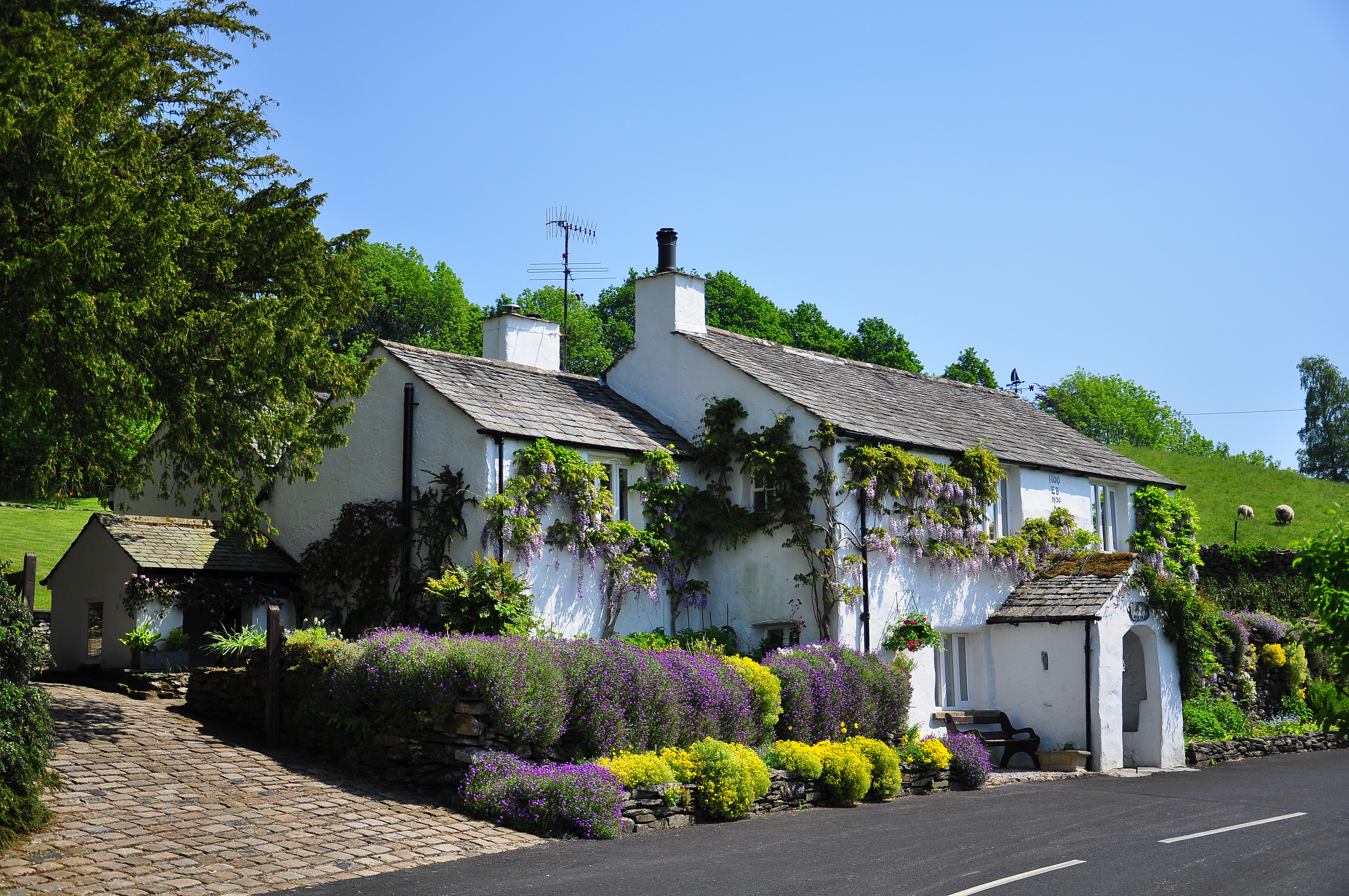
Winster, Cumbria

Winster is a village in the South Lakeland District of Cumbria, in North West England. Historically within the county of Westmorland, it is situated less...

Lyth Valley

The Lyth Valley is on the edge of the Lake District National Park in Cumbria, England. It gives its name to an electoral ward (one of 45 in South Lakeland...

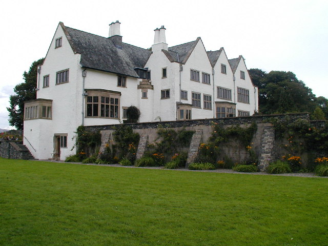
Blackwell (historic house)

Blackwell is a large house in the English Lake District, designed in the Arts and Crafts style by Baillie Scott. It was built in 1898–1900, as a holiday...
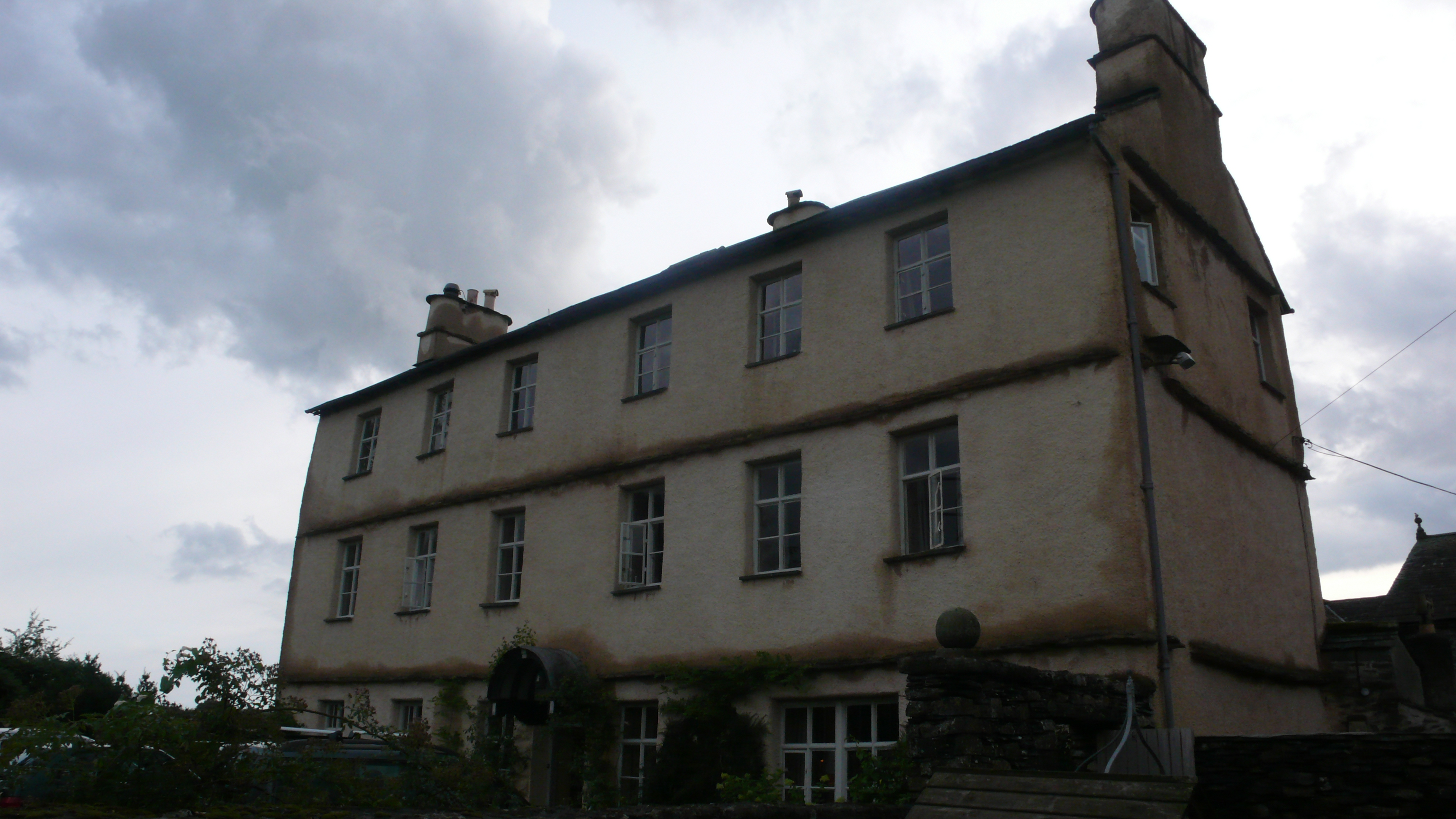
Cowmire Hall

Cowmire Hall is a country house near Crosthwaite in Cumbria, England. The hall, the garden wall and gate piers are recorded in the National Heritage List...

Nearby Amenities

Located within 500m of 54.324185,-2.8778215
Barrier: stile
Lat/Long: 54.3249219/-2.8850242
Barrier: cattle_grid
Lat/Long: 54.3258976/-2.8713556
Power: pole
Lat/Long: 54.3222185/-2.8712712
Power: pole
Lat/Long: 54.3231043/-2.8715588
Power: pole
Lat/Long: 54.3241886/-2.8719132
Power: pole
Lat/Long: 54.3276953/-2.8730921
Power: pole
Lat/Long: 54.3253201/-2.8722936
Power: pole
Lat/Long: 54.3259971/-2.8725212
Power: pole
Lat/Long: 54.3267392/-2.8727707
Power: pole
Lat/Long: 54.3269029/-2.8777971
The data included in this document is from www.openstreetmap.org. The data is made available under ODbL.

Have you been to Foxhole Plantation?

Leave your review of Foxhole Plantation below (or comments, questions and feedback).