Barrow Common
Downs, Moorland in Herefordshire
England
Barrow Common
Barrow Common, located in Herefordshire, is a picturesque expanse of downs and moorland. Spread over an area of approximately 500 acres, this natural beauty offers a stunning landscape that captivates visitors with its tranquility and scenic views.
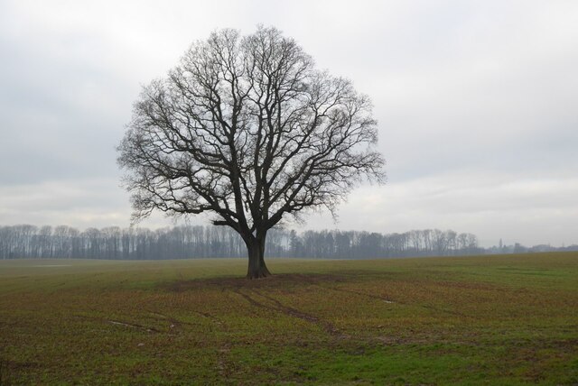
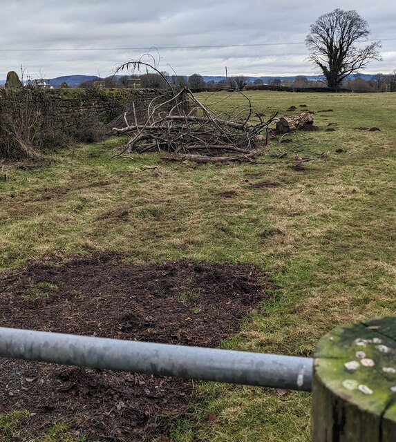
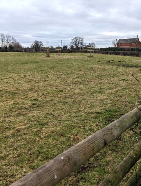
The common is characterized by rolling hills covered in a patchwork of heather and grasses, creating a vibrant and colorful panorama throughout the year. The moorland is scattered with clusters of gnarled and twisted trees, adding an ethereal touch to the already enchanting scenery.
Barrow Common is home to a diverse range of flora and fauna. Visitors can spot a variety of wildflowers, including heather, gorse, and orchids, which dot the landscape with bursts of vibrant colors. The common is also a haven for birdwatchers, with species like skylarks, lapwings, and curlews gracing the skies and creating a symphony of natural melodies.
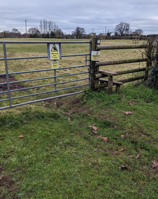
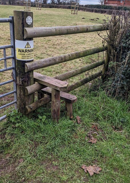
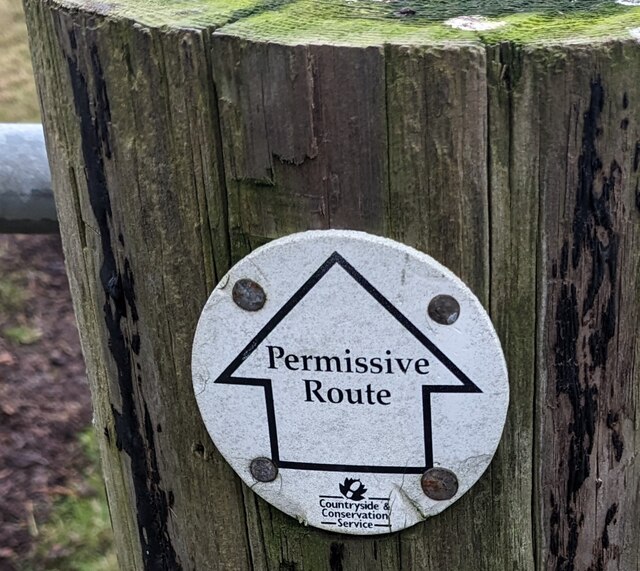
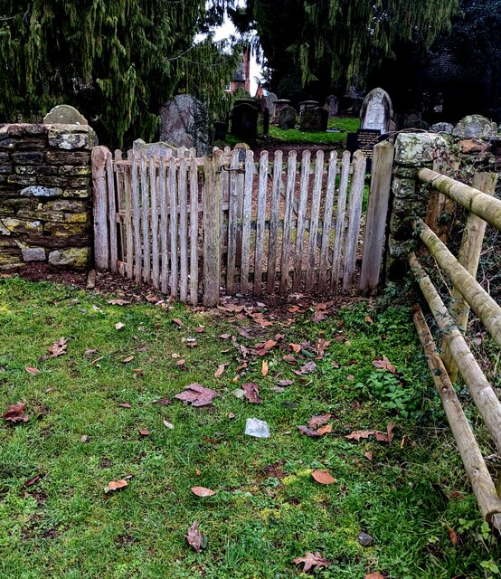
For nature enthusiasts, Barrow Common offers numerous walking trails and paths that wind through the hills and valleys. These paths provide the perfect opportunity to explore the area, enjoy the fresh air, and immerse oneself in the beauty of the countryside.
The common is a designated Site of Special Scientific Interest (SSSI), owing to its unique habitat and diverse wildlife. It is managed by local authorities, ensuring the preservation of its natural wonders for generations to come.
Barrow Common in Herefordshire is a hidden gem that showcases the beauty of downs and moorland, offering visitors a chance to connect with nature and experience the serenity of the countryside.
If you have any feedback on the listing, please let us know in the comments section below.
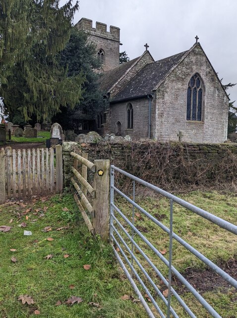
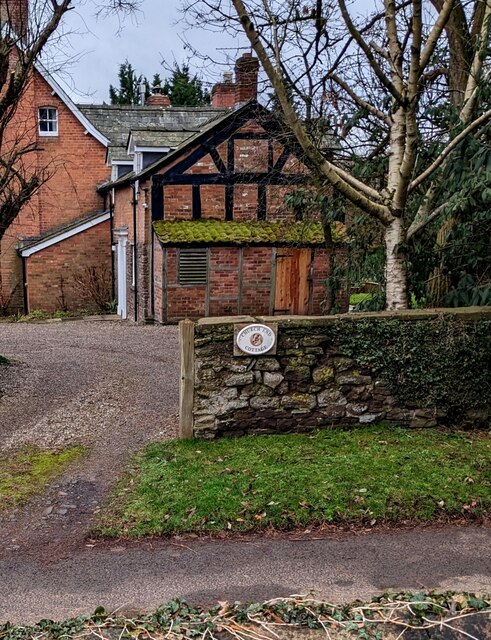
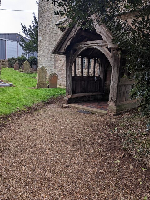
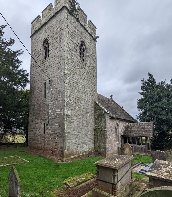
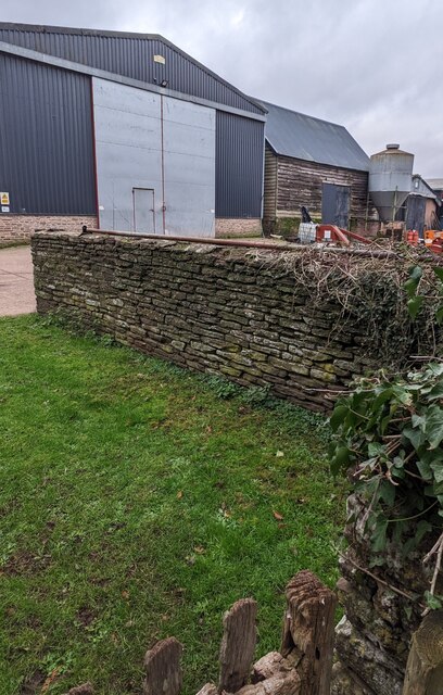
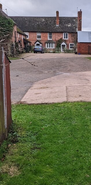
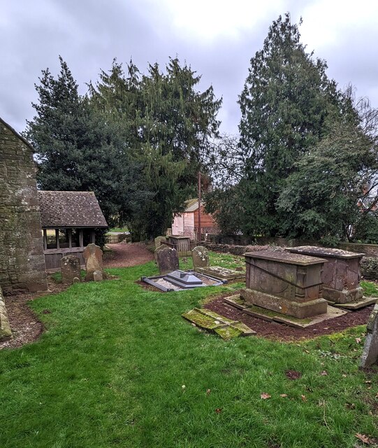
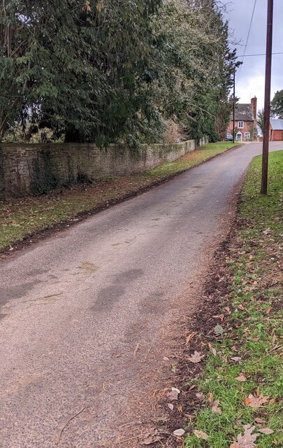
Barrow Common Images
Images are sourced within 2km of 52.015398/-2.845799 or Grid Reference SO4235. Thanks to Geograph Open Source API. All images are credited.
Barrow Common is located at Grid Ref: SO4235 (Lat: 52.015398, Lng: -2.845799)
Unitary Authority: County of Herefordshire
Police Authority: West Mercia
What 3 Words
///science.saucepan.threading. Near Kingstone, Herefordshire
Nearby Locations
Related Wikis

Kingstone High School
Kingstone High School is a mixed secondary school located in Kingstone in the English county of Herefordshire.Previously a community school administered...
RAF Madley
Royal Air Force Madley, or more simply RAF Madley, was a Royal Air Force station situated 6.2 miles (10 km) south west of Hereford in Herefordshire, England...
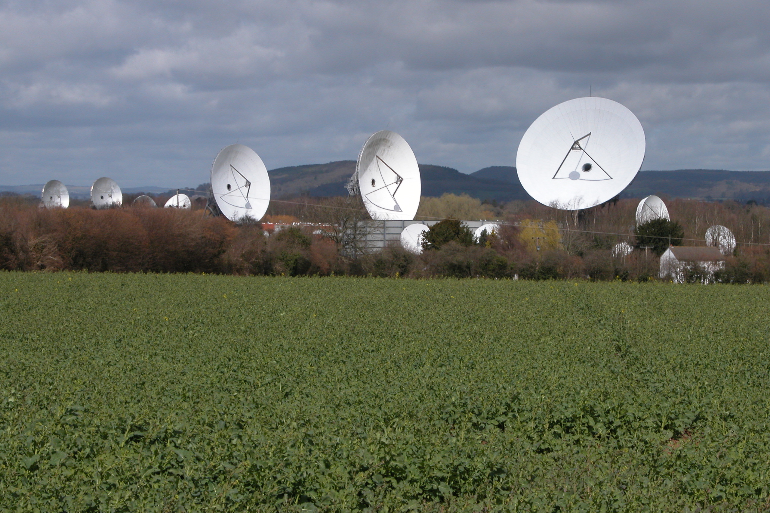
Madley Communications Centre
Madley Communications Centre is BT Group's earth satellite tracking station, between Madley and Kingstone, Herefordshire, England. == Earth position... ==

Thruxton, Herefordshire
Thruxton is a small rural village and civil parish in Herefordshire, England. It is located within the historic area of Archenfield, near the Welsh border...
Kingstone, Herefordshire
Kingstone is a civil parish and a large village in rural Herefordshire, England. It lies within the historic area of Archenfield, near the Welsh border...
Treville, Herefordshire
Treville (called in Welsh Trefelin) is a rural area and former royal forest in the English county of Herefordshire. It is near Wormbridge and other small...
Madley
Madley is a village and civil parish in the English county of Herefordshire. It is located six miles west of the city of Hereford. The population of the...

Clehonger
Clehonger is a village and civil parish in Herefordshire, England, and 7 km (4.3 mi) south-west of Hereford. Clehonger is from the old English 'Clayey...
Nearby Amenities
Located within 500m of 52.015398,-2.845799Have you been to Barrow Common?
Leave your review of Barrow Common below (or comments, questions and feedback).