Kingstone
Civil Parish in Herefordshire
England
Kingstone
Kingstone is a civil parish located in the county of Herefordshire, England. Situated approximately 10 miles south-west of the city of Hereford, the parish covers an area of around 5.4 square miles. It is a rural area, characterized by its picturesque landscapes and charming countryside.
The parish is home to a small population, estimated to be around 600 residents. The village of Kingstone is the main settlement within the parish, offering a range of amenities including a primary school, a post office, a village hall, and a local pub. The parish also features a number of small farms and agricultural businesses, reflecting its predominantly rural nature.
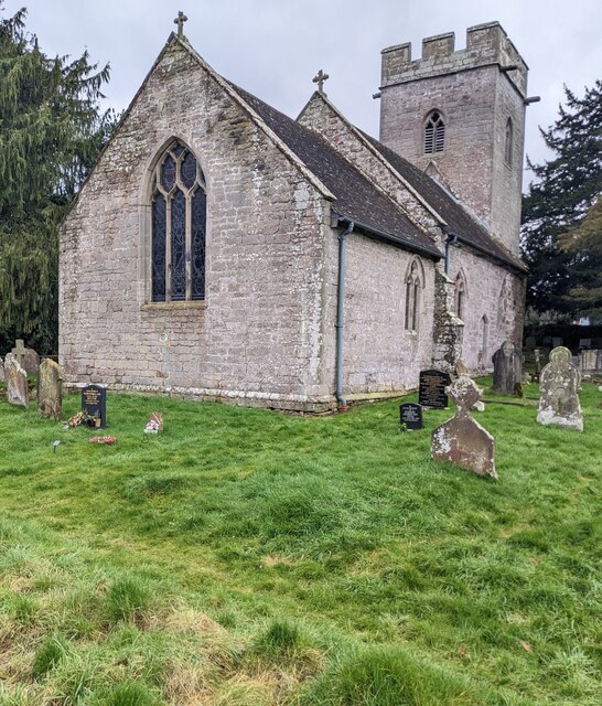
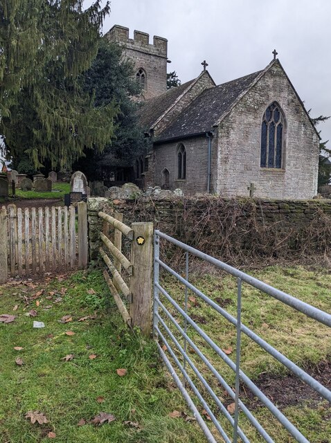
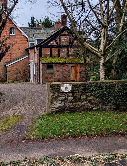
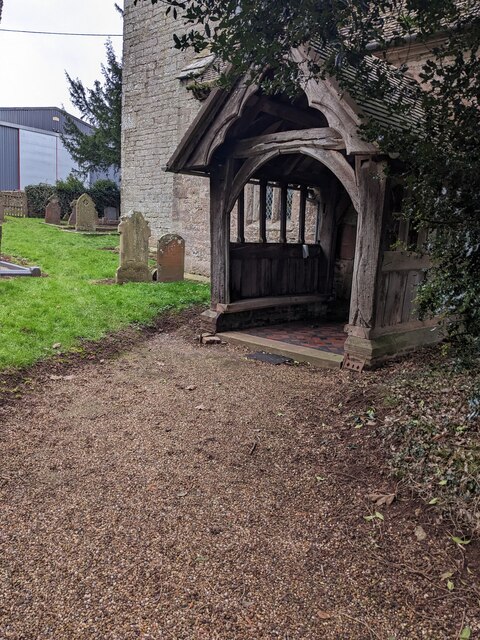
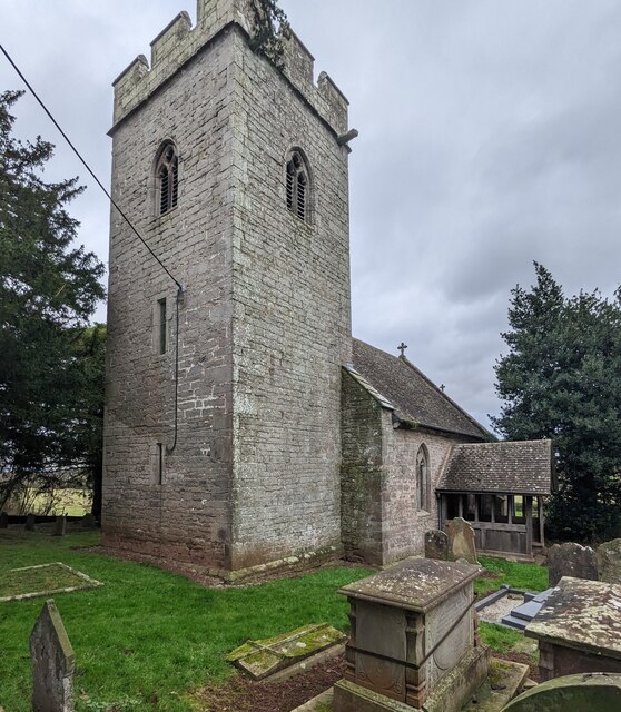
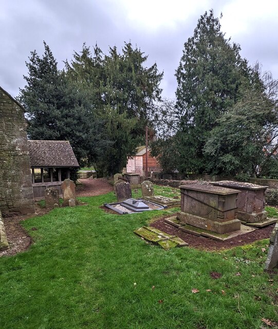
Kingstone is known for its rich history, with several historic sites and buildings of interest. The parish church, dedicated to St. Michael and All Angels, dates back to the 12th century and boasts beautiful architectural features. Additionally, the area is home to Kingstone House, a Grade II listed building that has been converted into residential apartments.
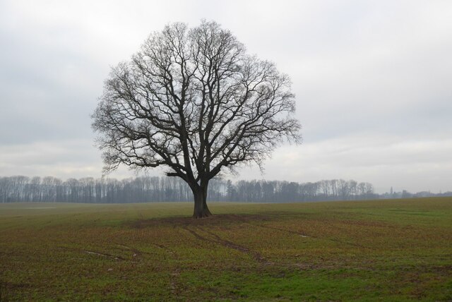
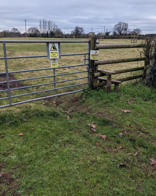
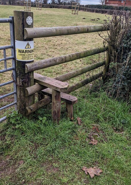
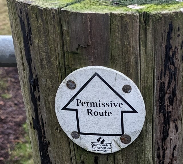
The natural environment in Kingstone is diverse and offers opportunities for outdoor activities. The parish is surrounded by rolling hills and farmland, making it ideal for walking, hiking, and cycling. The nearby River Wye also provides opportunities for water-based activities, such as boating and fishing.
Overall, Kingstone offers a peaceful and idyllic setting for residents and visitors alike, with its scenic landscapes, historic charm, and a close-knit community.
If you have any feedback on the listing, please let us know in the comments section below.
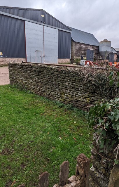
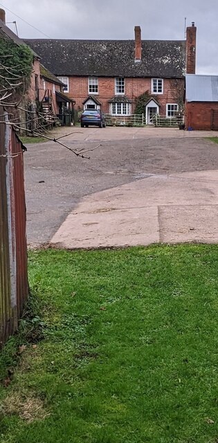
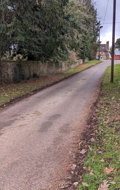
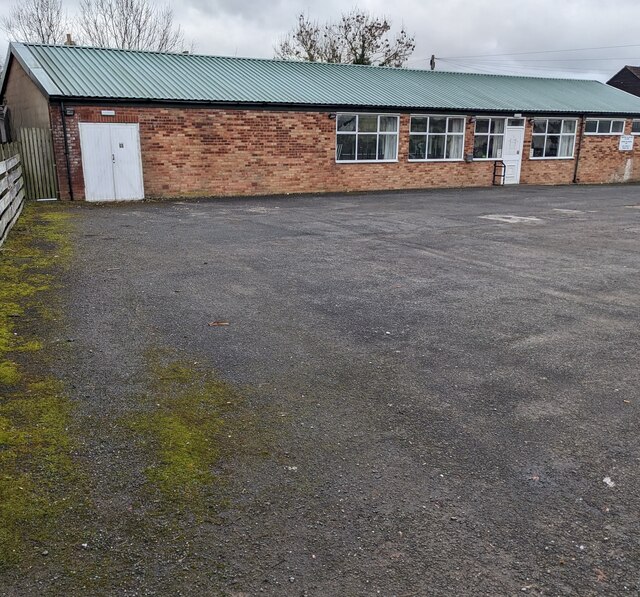
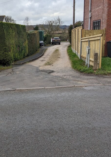
Kingstone Images
Images are sourced within 2km of 52.017725/-2.835819 or Grid Reference SO4235. Thanks to Geograph Open Source API. All images are credited.
Kingstone is located at Grid Ref: SO4235 (Lat: 52.017725, Lng: -2.835819)
Unitary Authority: County of Herefordshire
Police Authority: West Mercia
What 3 Words
///flickers.wants.diver. Near Kingstone, Herefordshire
Nearby Locations
Related Wikis

Kingstone High School
Kingstone High School is a mixed secondary school located in Kingstone in the English county of Herefordshire.Previously a community school administered...

Thruxton, Herefordshire
Thruxton is a small rural village and civil parish in Herefordshire, England. It is located within the historic area of Archenfield, near the Welsh border...
Kingstone, Herefordshire
Kingstone is a civil parish and a large village in rural Herefordshire, England. It lies within the historic area of Archenfield, near the Welsh border...
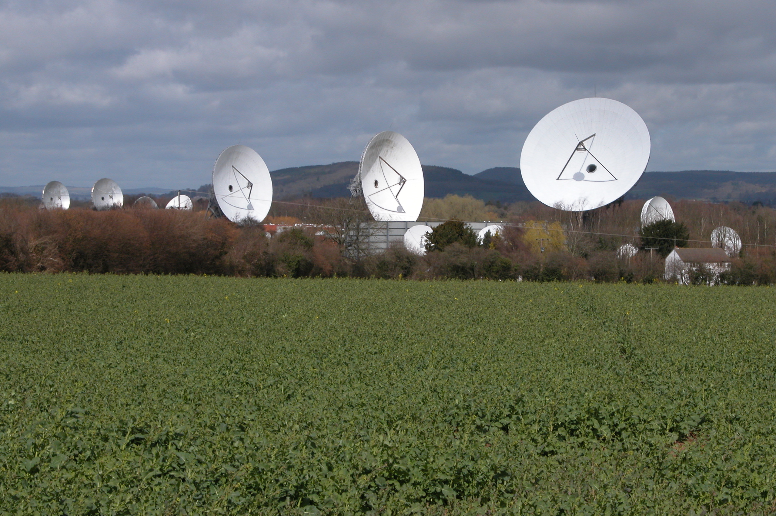
Madley Communications Centre
Madley Communications Centre is BT Group's earth satellite tracking station, between Madley and Kingstone, Herefordshire, England. == Earth position... ==
RAF Madley
Royal Air Force Madley, or more simply RAF Madley, was a Royal Air Force station situated 6.2 miles (10 km) south west of Hereford in Herefordshire, England...
Treville, Herefordshire
Treville (called in Welsh Trefelin) is a rural area and former royal forest in the English county of Herefordshire. It is near Wormbridge and other small...

Clehonger
Clehonger is a village and civil parish in Herefordshire, England, and 7 km (4.3 mi) south-west of Hereford. Clehonger is from the old English 'Clayey...
Madley
Madley is a village and civil parish in the English county of Herefordshire. It is located six miles west of the city of Hereford. The population of the...
Nearby Amenities
Located within 500m of 52.017725,-2.835819Have you been to Kingstone?
Leave your review of Kingstone below (or comments, questions and feedback).