Kingstone
Settlement in Herefordshire
England
Kingstone
Kingstone is a picturesque village located in the county of Herefordshire, England. Situated approximately 10 miles southwest of the city of Hereford, it is nestled in the Herefordshire countryside, surrounded by rolling hills and lush green fields. The village is part of the Golden Valley, renowned for its scenic beauty and tranquility.
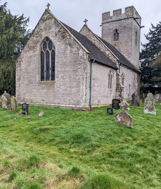
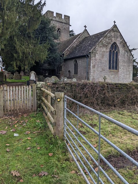
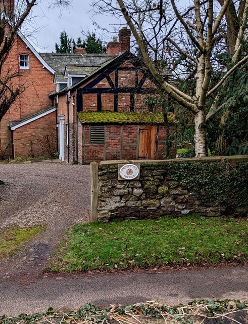
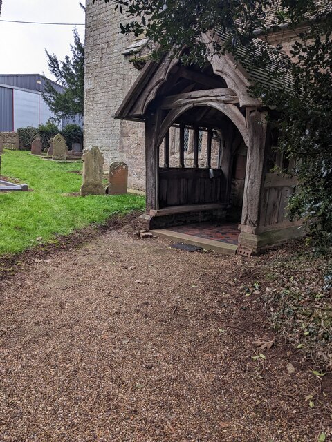
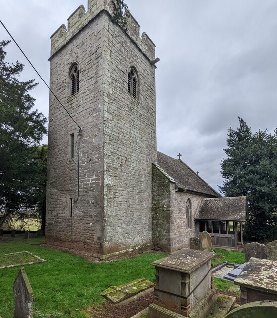
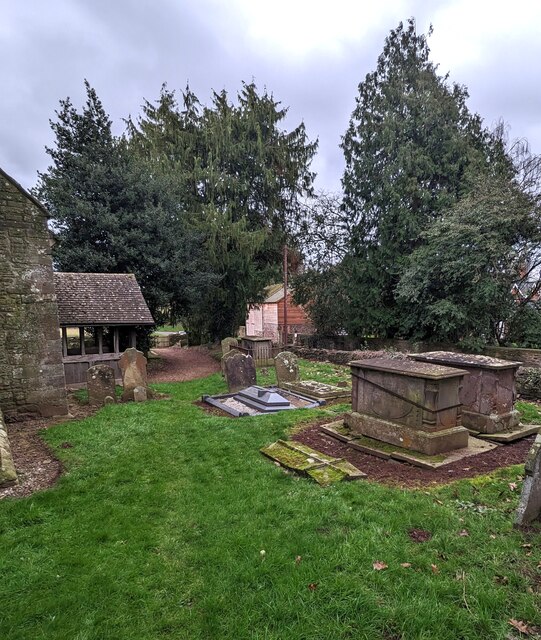
With a population of around 1,000 residents, Kingstone retains its rural charm and close-knit community atmosphere. The village features a diverse range of architectural styles, with a mix of traditional timber-framed cottages and more modern houses. The historic St. Michael and All Angels Church, dating back to the 12th century, stands as a prominent landmark in the village.
Kingstone benefits from several amenities that cater to the needs of its residents. These include a primary school, a village hall, a local shop, and a post office. The village also boasts a welcoming pub, where locals and visitors alike can enjoy a pint of locally brewed ale or a hearty meal.
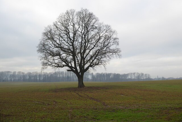
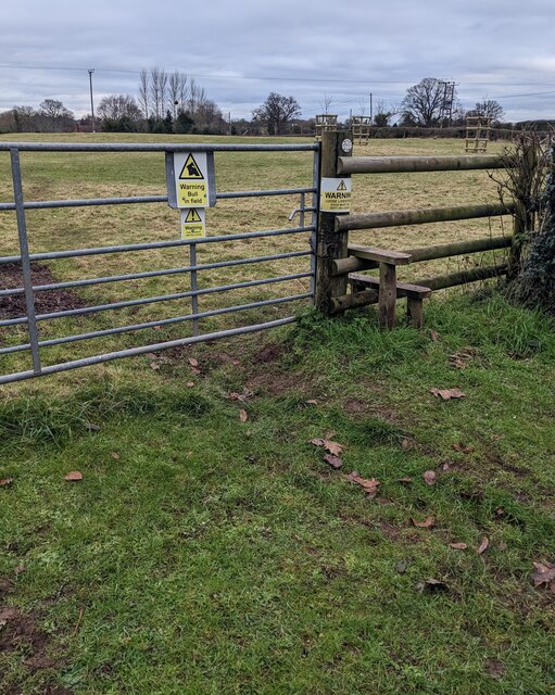
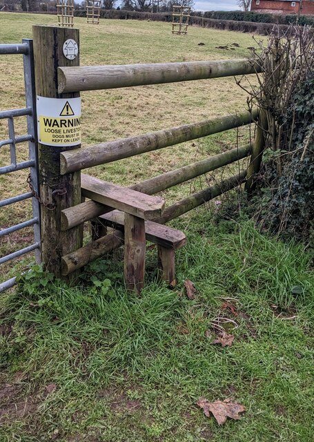
Surrounded by beautiful countryside, Kingstone offers ample opportunities for outdoor activities. Residents can explore the nearby Golden Valley Nature Reserve, which is home to a wide variety of flora and fauna. The scenic trails and footpaths provide excellent walking and cycling routes, allowing visitors to immerse themselves in the natural beauty of the area.
In summary, Kingstone is a charming village in Herefordshire, blessed with stunning landscapes, a strong sense of community, and a rich history. It is an ideal destination for those seeking a peaceful rural retreat or a base to explore the beauty of the surrounding countryside.
If you have any feedback on the listing, please let us know in the comments section below.
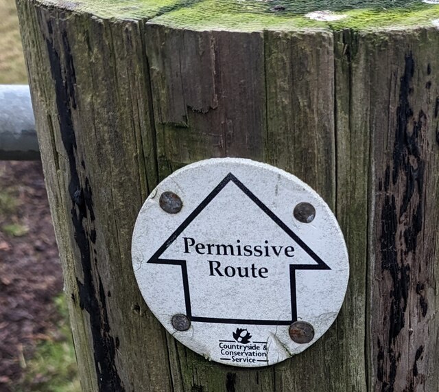
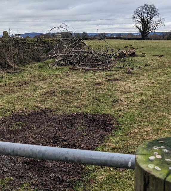
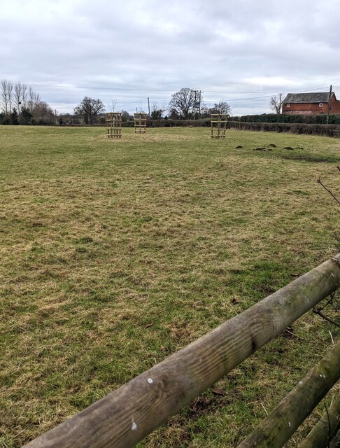
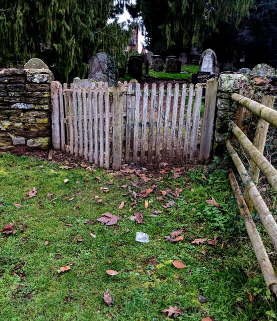
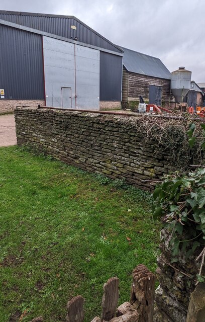
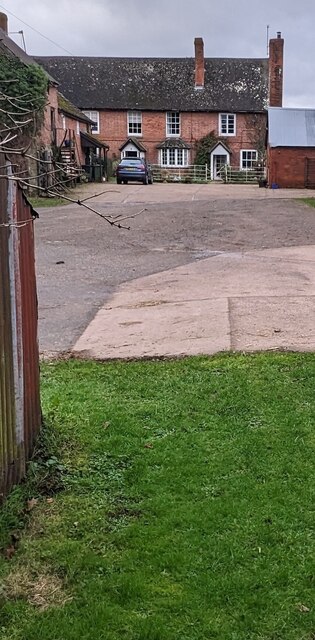
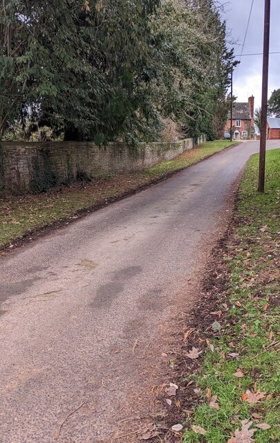
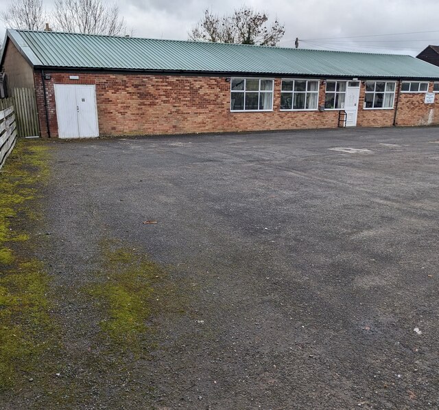
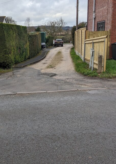
Kingstone Images
Images are sourced within 2km of 52.015822/-2.841727 or Grid Reference SO4235. Thanks to Geograph Open Source API. All images are credited.
Kingstone is located at Grid Ref: SO4235 (Lat: 52.015822, Lng: -2.841727)
Unitary Authority: County of Herefordshire
Police Authority: West Mercia
What 3 Words
///voices.awakes.loom. Near Kingstone, Herefordshire
Nearby Locations
Related Wikis

Kingstone High School
Kingstone High School is a mixed secondary school located in Kingstone in the English county of Herefordshire.Previously a community school administered...

Thruxton, Herefordshire
Thruxton is a small rural village and civil parish in Herefordshire, England. It is located within the historic area of Archenfield, near the Welsh border...
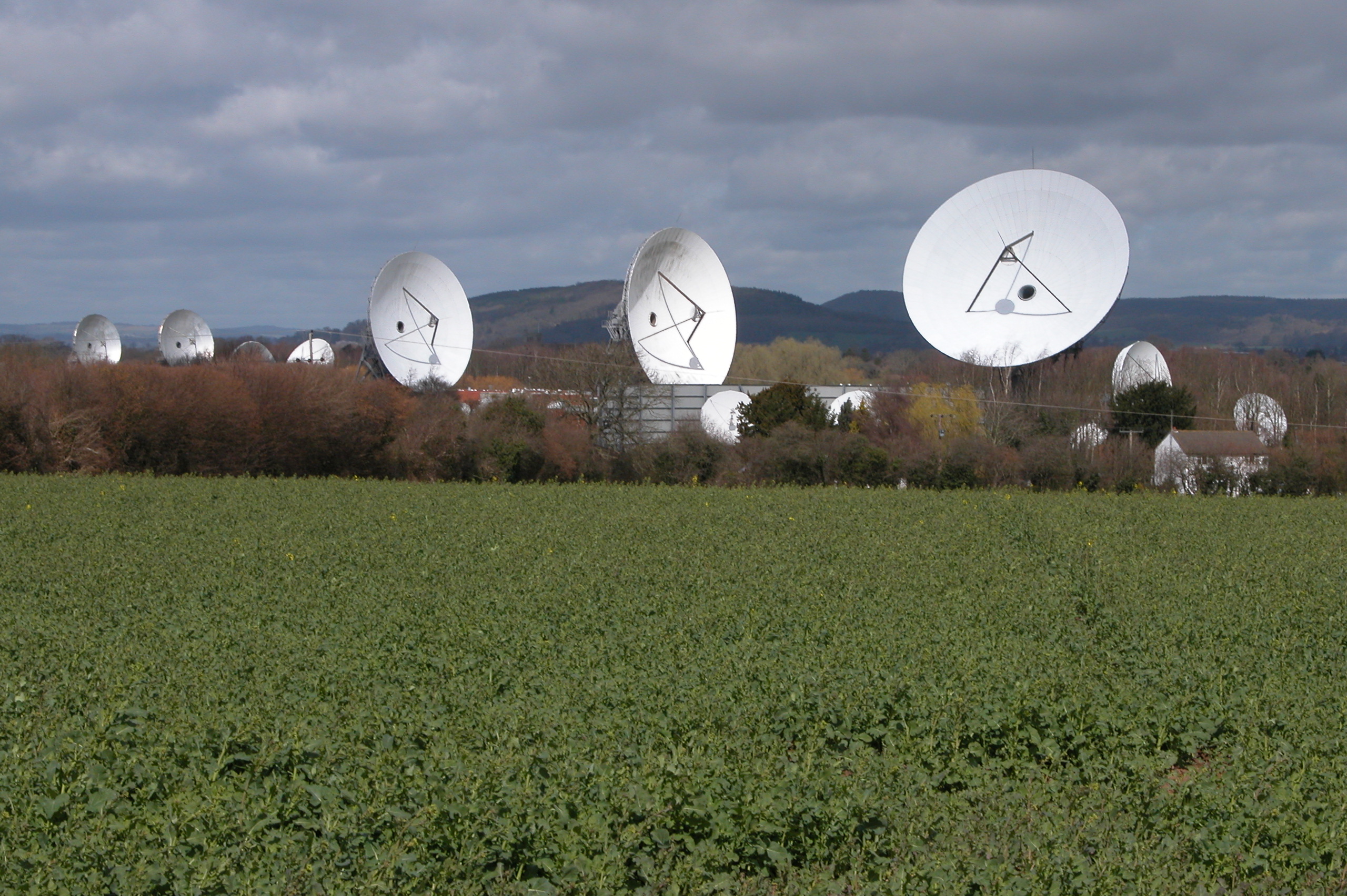
Madley Communications Centre
Madley Communications Centre is BT Group's earth satellite tracking station, between Madley and Kingstone, Herefordshire, England. == Earth position... ==
Kingstone, Herefordshire
Kingstone is a civil parish and a large village in rural Herefordshire, England. It lies within the historic area of Archenfield, near the Welsh border...
RAF Madley
Royal Air Force Madley, or more simply RAF Madley, was a Royal Air Force station situated 6.2 miles (10 km) south west of Hereford in Herefordshire, England...
Treville, Herefordshire
Treville (called in Welsh Trefelin) is a rural area and former royal forest in the English county of Herefordshire. It is near Wormbridge and other small...
Madley
Madley is a village and civil parish in the English county of Herefordshire. It is located six miles west of the city of Hereford. The population of the...

Clehonger
Clehonger is a village and civil parish in Herefordshire, England, and 7 km (4.3 mi) south-west of Hereford. Clehonger is from the old English 'Clayey...
Nearby Amenities
Located within 500m of 52.015822,-2.841727Have you been to Kingstone?
Leave your review of Kingstone below (or comments, questions and feedback).