Kingstone

Settlement in Herefordshire

England

Kingstone

A40 by Hildersley Business Park Looking east towards Gloucester.
A40 by Hildersley Business Park Credit: Jonathan Billinger

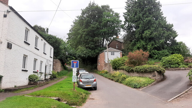
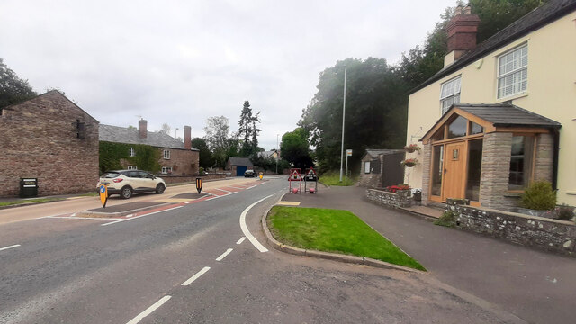
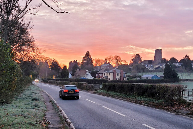
Kingstone is a village nestled in the county of Herefordshire, England. Located approximately 6 miles southwest of Hereford city, it is surrounded by picturesque countryside and offers a peaceful rural setting. With a population of around 700 residents, it has a close-knit community and a strong sense of local identity.

The village is known for its charming historic buildings, including the magnificent St. Michael and All Angels Church, which dates back to the 12th century. This architectural gem features beautiful stained glass windows and intricate stonework, attracting both locals and visitors alike.

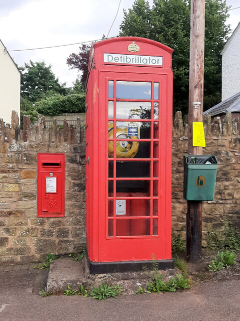
Kingstone benefits from a range of amenities, such as a well-regarded primary school, a village hall that hosts various community events, and a local pub that serves as a social hub. The village also boasts a vibrant cricket club, offering recreational opportunities for sports enthusiasts.

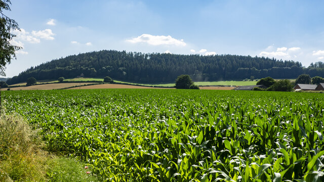
Surrounded by lush farmland, Kingstone is an ideal base for exploring the stunning Herefordshire countryside. The nearby Golden Valley offers breathtaking views, while the Black Mountains and the Wye Valley are within easy reach, providing ample opportunities for outdoor activities like hiking, cycling, and horse riding.

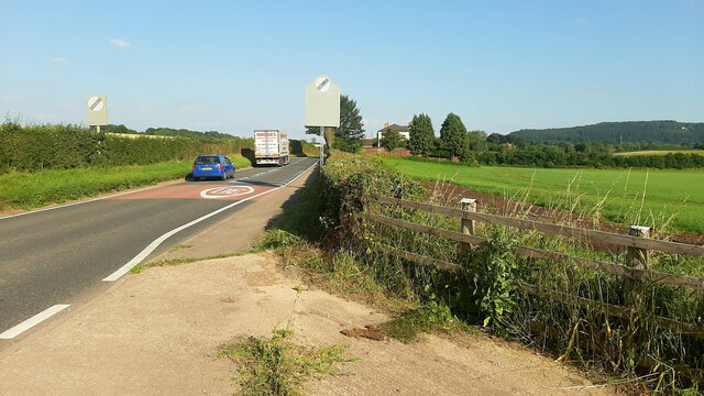
Despite its rural location, Kingstone enjoys good transport links, with regular bus services connecting it to Hereford and other nearby towns. The village's proximity to the A49 road provides convenient access to the wider region, making it an attractive place to live for those seeking a peaceful rural lifestyle with easy access to urban amenities.

If you have any feedback on the listing, please let us know in the comments section below.
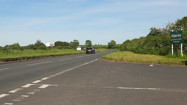
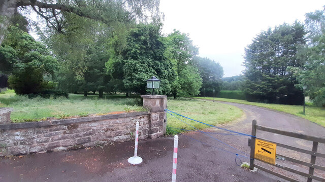
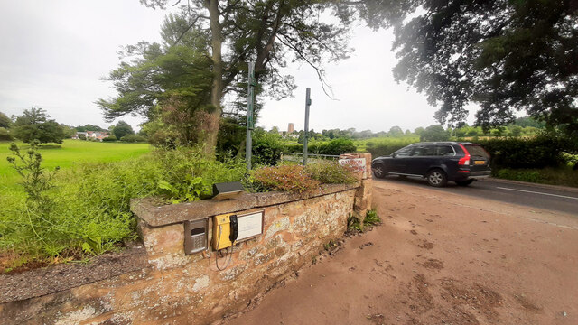
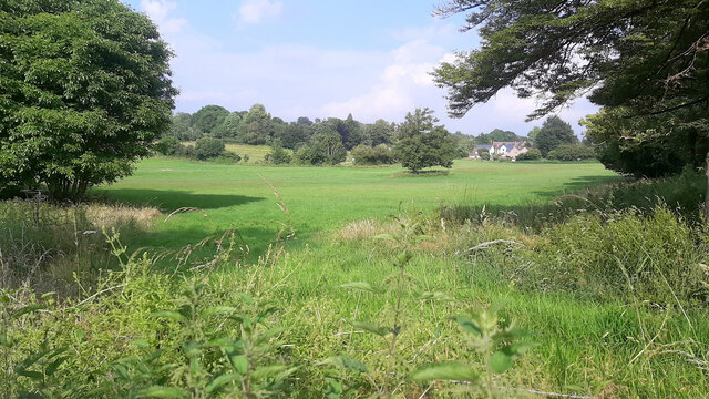
Kingstone Images

Images are sourced within 2km of 51.919626/-2.5385342 or Grid Reference SO6324. Thanks to Geograph Open Source API. All images are credited.

A40 by Hildersley Business Park Looking east towards Gloucester.
A40 by Hildersley Business Park
Looking east towards Gloucester.
Entrance to Penyard House, 2 Detail of the unkempt grounds.
Entrance to Penyard House, 2
Detail of the unkempt grounds.
Entrance to Penyard House, 3 Unused, part of the entrance is filling with silt from recent rainstorms.
Entrance to Penyard House, 3
Unused, part of the entrance is filling with silt from recent rainstorms.
Fields near Weston Farmland between Weston Village and Penyard House.
Fields near Weston
Farmland between Weston Village and Penyard House.
A40 west of Weston Looking east towards Gloucester.
A40 west of Weston
Looking east towards Gloucester.
View to Penyard Hill Penyard Hill and Wood viewed from across a large maize field to the east of Weston.
View to Penyard Hill
Penyard Hill and Wood viewed from across a large maize field to the east of Weston.
Defibrillator station, Weston under Penyard Probably the best use of a redundant phone box.
Defibrillator station, Weston under Penyard
Probably the best use of a redundant phone box.
Church Lane, Weston under Penyard Lane turns into a track and public path onto Penyard Hill.
Church Lane, Weston under Penyard
Lane turns into a track and public path onto Penyard Hill.
A40 at Weston under Penyard A former village shop on the right and The Weston Cross PH on the left side of the road.
Looking eats towards Gloucester.
A40 at Weston under Penyard
A former village shop on the right and The Weston Cross PH on the left side of the road. Looking eats towards Gloucester.
Roadside verge containing OS surface block Ross On Wye North
Sunset through the trees November dusk at Hildersley.
Sunset through the trees
November dusk at Hildersley.
Early morning, A40, Weston Under Penyard, 1 Commuters heading east towards Gloucester into a brief pink winter dawn.
Early morning, A40, Weston Under Penyard, 1
Commuters heading east towards Gloucester into a brief pink winter dawn.
Early morning, A40, Weston Under Penyard, 2 Commuters heading east towards Gloucester into a brief pink winter dawn.
The tree is a fine cedar at Hunsdon Manor.
Early morning, A40, Weston Under Penyard, 2
Commuters heading east towards Gloucester into a brief pink winter dawn. The tree is a fine cedar at Hunsdon Manor.
Weston under Penyard The tower of St. Lawrence's church is very prominent on the sky line.
Weston under Penyard
The tower of St. Lawrence's church is very prominent on the sky line.
New builds at Hildersley, 4 The houses are now complete and being marketed.
See <a href="https://www.geograph.org.uk/photo/6855221">SO6123 : New builds at Hildersley, 1</a>, <a href="https://www.geograph.org.uk/photo/6855224">SO6123 : New builds at Hildersley, 2</a> and <a href="https://www.geograph.org.uk/photo/6848177">SO6123 : New builds at Hildersley, 3</a>.
New builds at Hildersley, 4
New builds at Hildersley, 5 The houses are now complete and being marketed.
See <a href="https://www.geograph.org.uk/photo/6855221">SO6123 : New builds at Hildersley, 1</a>, <a href="https://www.geograph.org.uk/photo/6855224">SO6123 : New builds at Hildersley, 2</a> and <a href="https://www.geograph.org.uk/photo/6848177">SO6123 : New builds at Hildersley, 3</a>.
Chase View vets can also be seen.
New builds at Hildersley, 5
The houses are now complete and being marketed. See SO6123 : New builds at Hildersley, 1, SO6123 : New builds at Hildersley, 2 and SO6123 : New builds at Hildersley, 3. Chase View vets can also be seen.
Weston Lodge and Weston Mews Village housing.
Weston Lodge and Weston Mews
Village housing.
A40 at Weston Looking west towards the Weston Cross and Ross.
A40 at Weston
Looking west towards the Weston Cross and Ross.
Show me another place!

Kingstone is located at Grid Ref: SO6324 (Lat: 51.919626, Lng: -2.5385342)

Unitary Authority: County of Herefordshire

Police Authority: West Mercia

What 3 Words

///plunger.cope.skinning. Near Ross on Wye, Herefordshire

Nearby Locations

Kingstone

Related Wikis

Penyard House, Ross-on-Wye

Penyard House, Weston under Penyard near Ross-on-Wye is a building of historical significance. It appears to have been built in about 1821 by a wealthy...

Weston under Penyard Halt railway station

Weston under Penyard Halt railway station is a disused wood built railway station that served the village of Weston under Penyard in Herefordshire on the...

Weston under Penyard

Weston under Penyard is a small village in Herefordshire, England. The population of the civil parish at the 2011 Census was 1,007.It lies on the A40 road...

Ariconium

Ariconium was a road station of Roman Britain mentioned in Iter XIII of the Iter Britanniarum of the Antonine Itineraries. It was located at Bury Hill...

Nearby Amenities

Located within 500m of 51.919626,-2.5385342
Bus Stop
Kingstone
Naptan AtcoCode: 2090A123800
Naptan Bearing: N
Naptan BusStopType: CUS
Naptan CommonName: Kingstone
Naptan Indicator: opp Cross
Naptan Landmark: N/K
Naptan NaptanCode: heradtwj
Naptan Street: N/K
Naptan Verified: no
Source: naptan_import
Lat/Long: 51.9194718/-2.5384735
Bus Stop
Kingstone
Naptan AtcoCode: 2090A19033
Naptan Bearing: S
Naptan BusStopType: CUS
Naptan CommonName: Kingstone
Naptan Indicator: adj Cross
Naptan Landmark: N/K
Naptan NaptanCode: herajmwp
Naptan Street: N/K
Naptan Verified: no
Source: naptan_import
Lat/Long: 51.9194927/-2.5384081
Kingstone
Place: hamlet
Lat/Long: 51.9196944/-2.5393653
Power: pole
Lat/Long: 51.9223571/-2.534076
Kingstone North
Power: pole
Transformer: distribution
Voltage Primary: 11000
Lat/Long: 51.9217149/-2.541448
Power: pole
Lat/Long: 51.9220035/-2.5403175
Power: pole
Lat/Long: 51.9223157/-2.5391353
Power: pole
Lat/Long: 51.922671/-2.5377996
Power: pole
Lat/Long: 51.923008/-2.5365255
Power: pole
Lat/Long: 51.9225217/-2.5357537
Power: pole
Lat/Long: 51.9221317/-2.5351354
Power: pole
Lat/Long: 51.9216892/-2.5344287
Power: pole
Lat/Long: 51.9207996/-2.5349222
Kingstone Farm
Power: pole
Transformer: distribution
Voltage Primary: 11000
Lat/Long: 51.9193187/-2.5380316
Power: pole
Lat/Long: 51.9194651/-2.5368058
Power: pole
Lat/Long: 51.9195738/-2.5359133
Power: pole
Lat/Long: 51.9196843/-2.534941
Power: pole
Lat/Long: 51.9192938/-2.5349504
Power: pole
Lat/Long: 51.9186838/-2.5349517
Power: pole
Lat/Long: 51.9180643/-2.5349557
Kingstone Weston Under Penyard
Power: pole
Transformer: distribution
Voltage Primary: 11000
Lat/Long: 51.9173297/-2.5353306
Power: pole
Lat/Long: 51.9163247/-2.5358181
Power: pole
Lat/Long: 51.9167937/-2.5355981
Woodfields
Power: pole
Transformer: distribution
Voltage Primary: 11000
Lat/Long: 51.9162283/-2.5358851
Power: pole
Lat/Long: 51.9155078/-2.5364504
The data included in this document is from www.openstreetmap.org. The data is made available under ODbL.

Have you been to Kingstone?

Leave your review of Kingstone below (or comments, questions and feedback).