Kingstone

Civil Parish in Staffordshire East Staffordshire

England

Kingstone

Crossroads and Trailer Crossroads at Loxley Green. The trailer is not technically being driven on the wrong side of the road but had just turned at the crossroads and needed the space to turn.
Crossroads and Trailer Credit: Michael Patterson

Kingstone is a civil parish located in the county of Staffordshire, England. Situated in the West Midlands region, it lies approximately 5 miles southwest of the town of Uttoxeter and covers an area of around 1.5 square miles. The parish is primarily a rural area, characterized by its picturesque landscapes and tranquil surroundings.

The village of Kingstone itself is small, with a population of around 500 people. It is known for its charming traditional cottages and historic buildings, such as the 14th-century St. John the Baptist Church, which stands as a prominent feature in the village. The church is built in the Gothic architectural style and attracts visitors for its well-preserved medieval features.

The surrounding countryside of Kingstone offers a range of outdoor activities and attractions. The nearby Peak District National Park offers opportunities for hiking, cycling, and exploring the natural beauty of the area. Visitors can also enjoy the serene beauty of the River Tean, which flows through the parish and provides opportunities for fishing and picnicking.

Despite its rural nature, Kingstone benefits from proximity to larger towns and cities. Uttoxeter, known for its racecourse and historic market square, is just a short drive away, providing residents with access to a range of amenities and services.

Overall, Kingstone is a peaceful and idyllic civil parish, offering a rural lifestyle with easy access to nearby towns and natural attractions.

If you have any feedback on the listing, please let us know in the comments section below.
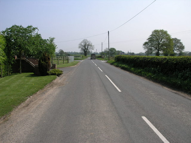
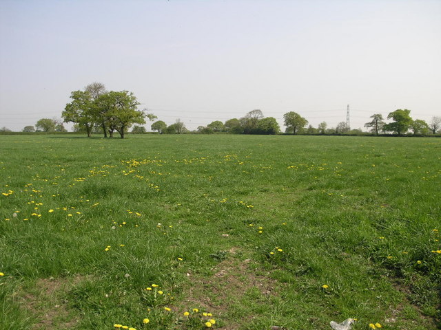
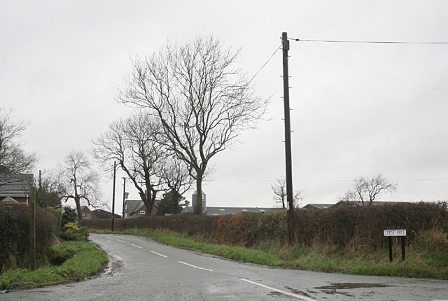
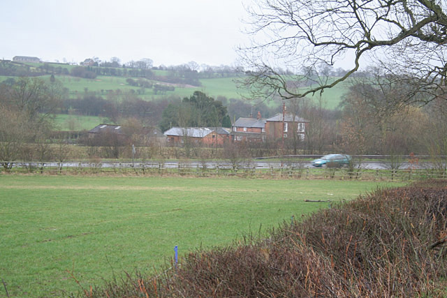
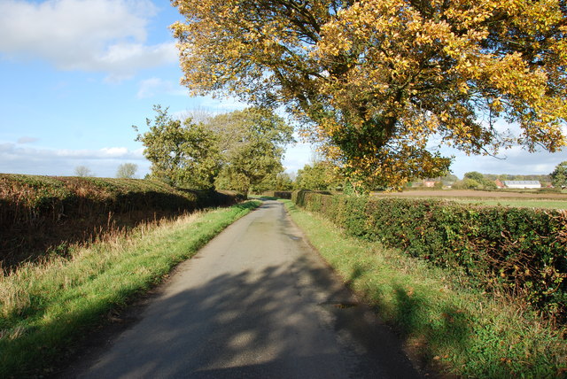
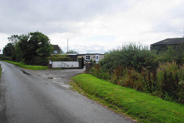
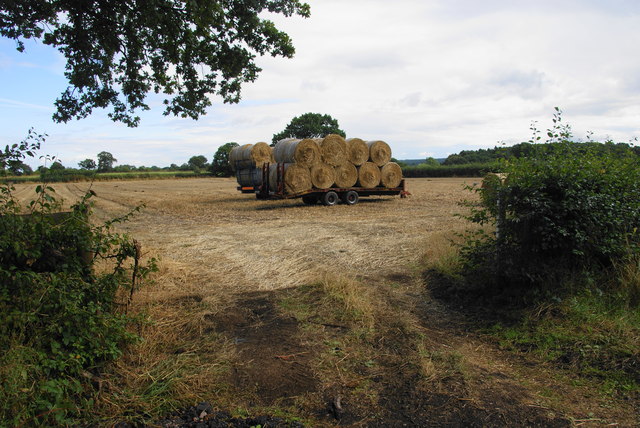
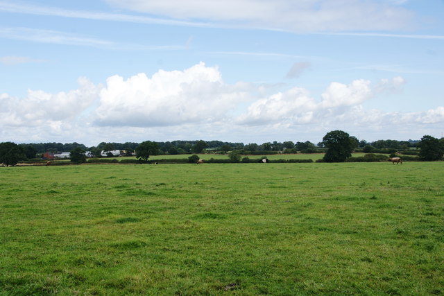
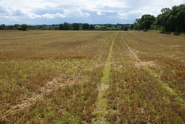
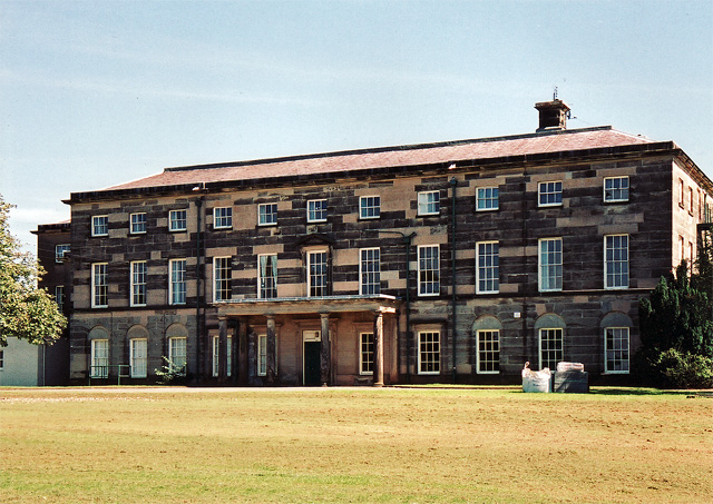
Kingstone Images

Images are sourced within 2km of 52.860477/-1.911831 or Grid Reference SK0629. Thanks to Geograph Open Source API. All images are credited.

Crossroads and Trailer Crossroads at Loxley Green. The trailer is not technically being driven on the wrong side of the road but had just turned at the crossroads and needed the space to turn.
Crossroads and Trailer
Crossroads at Loxley Green. The trailer is not technically being driven on the wrong side of the road but had just turned at the crossroads and needed the space to turn.
Fields and Trees And of course the inevitable pylon in the background.
Fields and Trees
And of course the inevitable pylon in the background.
Leese Hill The OS map accords the name to the location not just the road
Leese Hill
The OS map accords the name to the location not just the road
In the Blithe Valley. The A518 is the main road from Uttoxeter to Stafford
In the Blithe Valley.
The A518 is the main road from Uttoxeter to Stafford
Minor crossroads at Willslock
Crossroads at Loxley Green
Lane heading towards the A518 Leese Hill farm ca be seen to the right of picture.
Lane heading towards the A518
Leese Hill farm ca be seen to the right of picture.
A Country Road Junction at Leese Hill
The Cat Flap A cattery on Leese Hill.
The Cat Flap
A cattery on Leese Hill.
Bales ready for transit on Leese Hill
A field of cows near Woodcock Heath An opportunity for a view east from Leese Hill.
A field of cows near Woodcock Heath
An opportunity for a view east from Leese Hill.
Manor Farm A farm nearly on the edge of Leese Hill. The road leads only to a golf club.
Manor Farm
A farm nearly on the edge of Leese Hill. The road leads only to a golf club.
Manor Golf Course Situated on Leese Hill above the valley of the River Blithe.
Manor Golf Course
Situated on Leese Hill above the valley of the River Blithe.
The entrance to Manor Golf Club
Field of maize by Park Covert A footpath passes in the foreground.
Field of maize by Park Covert
A footpath passes in the foreground.
Harvested field on Leese Hill
Fieldside path You can't see the path but know it runs by the edge of the field.
Fieldside path
You can't see the path but know it runs by the edge of the field.
A path through the hedge? The path just about gets through, but you have to contend with holly and thistles in the process.
A path through the hedge?
The path just about gets through, but you have to contend with holly and thistles in the process.
Show me another place!

Kingstone is located at Grid Ref: SK0629 (Lat: 52.860477, Lng: -1.911831)

Administrative County: Staffordshire

District: East Staffordshire

Police Authority: Staffordshire

What 3 Words

///unstated.bunny.central. Near Uttoxeter, Staffordshire

Nearby Locations

Kingstone

Related Wikis

Kingstone, Staffordshire

Kingstone is a village and civil parish within the English county of Staffordshire. == Population == The 2011 census recorded a population of 629 in 249...

Grindley railway station

Grindley railway station was a former British railway station to serve the village of Grindley in Staffordshire. It was opened by the Stafford and Uttoxeter...

Bagot's Wood

Bagot's Wood is the largest extant piece of the ancient Needwood Forest, located near to Abbots Bromley, in Staffordshire, England. The forest derives...

Loxley Hall

Loxley Hall is an early-19th-century country house near Uttoxeter, Staffordshire, now occupied by a Staffordshire County Council special school for boys...

Chartley Moss

Chartley Moss is a 105.80 hectare biological Site of Special Scientific Interest in Staffordshire, notified in 1987. The area has been designated as an...

Gratwich

Gratwich is a village and former civil parish, now in the parish of Kingstone, in the East Staffordshire district, in the county of Staffordshire, England...

Bromshall railway station

Bromshall railway station was a short lived railway station in Staffordshire, England. The railway line between Stoke-on-Trent and Uttoxeter was opened...

Bramshall

Bramshall is a village and former civil parish, now in the parish of Uttoxeter Rural, in the East Staffordshire district, in the county of Staffordshire...

Nearby Amenities

Located within 500m of 52.860477,-1.911831
Bus Stop
Post Office
Bus: yes
Departures Board: no
Naptan AtcoCode: 3800C306000
Naptan Bearing: N
Naptan CommonName: Post Office
Naptan Indicator: opp
Naptan Landmark: School
Naptan Street: Blythe Bridge Bank
Naptan Verified: no
Public Transport: platform
Shelter: no
Source: naptan_import
Lat/Long: 52.8644931/-1.9119732
Bus Stop
Post Office
Bus: yes
Naptan AtcoCode: 3800C306001
Naptan Bearing: S
Naptan CommonName: Post Office
Naptan Indicator: Adj
Naptan Landmark: School
Naptan Street: Blythe Bridge Bank
Naptan Verified: no
Public Transport: platform
Shelter: no
Source: naptan_import
Lat/Long: 52.8645021/-1.9118692
Bus Stop
Village Hall
Bus: yes
Naptan AtcoCode: 3800C327301
Naptan Bearing: E
Naptan BusStopType: CUS
Naptan CommonName: Village Hall
Naptan Indicator: adj
Naptan Street: Church Lane
Naptan Verified: no
Network: 841
Operator: D&G
Public Transport: platform
Source: naptan_import
Lat/Long: 52.8633374/-1.9122424
Bus Stop
Village Hall
Bus: yes
Naptan AtcoCode: 3800C327302
Naptan Bearing: W
Naptan BusStopType: CUS
Naptan CommonName: Village Hall
Naptan Indicator: opp
Naptan Street: Church Lane
Naptan Verified: no
Network: 841
Operator: D&G
Public Transport: platform
Source: naptan_import
Lat/Long: 52.8633846/-1.9121908
Kingstone
Place: village
Wikidata: Q6413674
Lat/Long: 52.8644249/-1.9111476
Waste Basket
Lat/Long: 52.8631914/-1.9113369
Barrier: stile
Lat/Long: 52.8608381/-1.907288
Bench
Lat/Long: 52.8638554/-1.9100731
Waste Basket
Lat/Long: 52.86386/-1.9100883
Waste Basket
Lat/Long: 52.863483/-1.9095696
Historic: memorial
Inscription: Site of Spring at which villagers obtained their water supply until1936.
Memorial: plaque
Lat/Long: 52.8630701/-1.9109947
Kingstone AD MM
Historic: memorial
Memorial: stone
Lat/Long: 52.8631915/-1.9108417
Barrier: bollard
Bicycle: yes
Foot: designated
Horse: yes
Motor Vehicle: no
Lat/Long: 52.863662/-1.9105854
Barrier: stile
Lat/Long: 52.86423/-1.9121203
Barrier: stile
Lat/Long: 52.8642871/-1.9126053
Barrier: stile
Lat/Long: 52.8636109/-1.9075593
Post Box
Post Box Type: lamp
Royal Cypher: EIIR
Lat/Long: 52.8643252/-1.9120555
Waste Basket
Lat/Long: 52.858607/-1.907288
Bench
Backrest: yes
Lat/Long: 52.8631712/-1.9108553
Waste Basket
Lat/Long: 52.8639512/-1.9099128
Bench
Backrest: yes
Lat/Long: 52.8636832/-1.9094485
Leisure: picnic_table
Lat/Long: 52.8635938/-1.9093859
Bench
Backrest: yes
Lat/Long: 52.8633564/-1.9124576
Waste Basket
Lat/Long: 52.8633586/-1.9124216
Grit Bin
Lat/Long: 52.8632819/-1.9126649
Former site of Phone Box
Description: Removed 2020
Removed Amenity: telephone
Lat/Long: 52.8643448/-1.9120525
Former site of public toilets
Description: Removed 2020
Lat/Long: 52.8634787/-1.9095084
Former site of changing rooms
Description: Removed 2020
Lat/Long: 52.8634992/-1.9093474
Bench
Lat/Long: 52.8631073/-1.9116368
Bench
Lat/Long: 52.8629919/-1.9121198
Bench
Lat/Long: 52.8630333/-1.9126124
Bench
Lat/Long: 52.8630763/-1.9123173
Bench
Lat/Long: 52.8627885/-1.9110936
Bench
Lat/Long: 52.862806/-1.9113962
Bench
Lat/Long: 52.8641046/-1.9093006
Entrance: yes
Lat/Long: 52.8632506/-1.9124861
Defibrillator
Access: yes
Defibrillator Location: outside Kingstone with Gratwich Village Hall
Emergency: defibrillator
Indoor: no
Lat/Long: 52.8632142/-1.9125134
The data included in this document is from www.openstreetmap.org. The data is made available under ODbL.

Have you been to Kingstone?

Leave your review of Kingstone below (or comments, questions and feedback).