The Fylde
Downs, Moorland in Lancashire Fylde
England
The Fylde
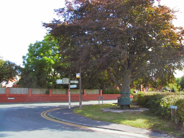
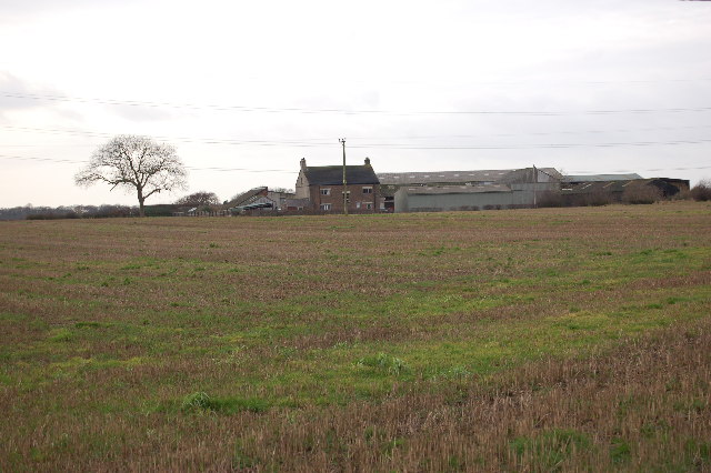
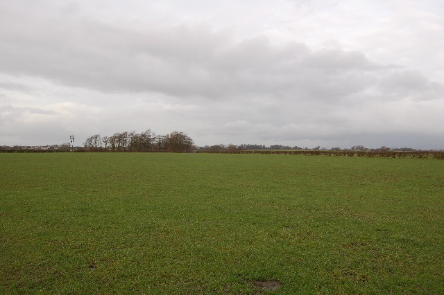
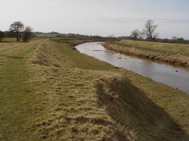
The Fylde is a region located in the county of Lancashire, England. It is characterized by its diverse landscape, which comprises downs and moorland. The Fylde Downs, with their rolling hills and expansive grasslands, offer picturesque views and are home to several species of flora and fauna. The area is known for its rich agricultural heritage, with farming being a prominent industry.
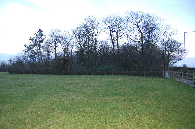
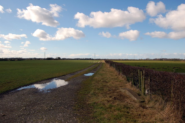
The Fylde Moorland, on the other hand, features vast stretches of open, often rugged terrain. The moorland is defined by its heather-covered hills, scattered rocky outcrops, and peat bogs. It provides a haven for various wildlife species, including birds of prey and rare plants. Walking and hiking enthusiasts are drawn to the moorland's tranquil and unspoiled beauty, making it a popular destination for outdoor activities.
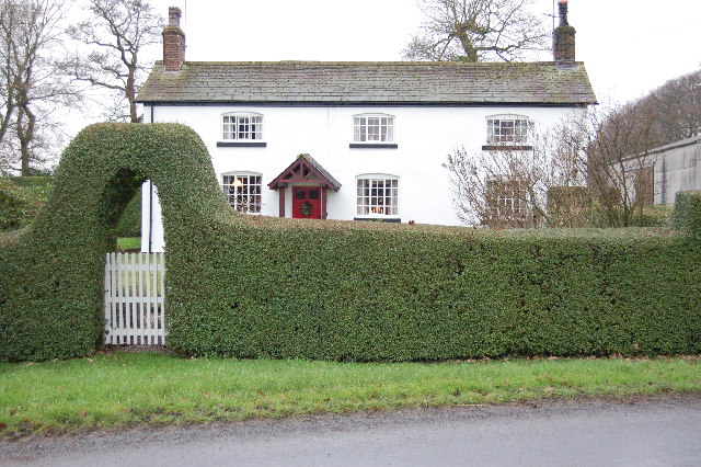
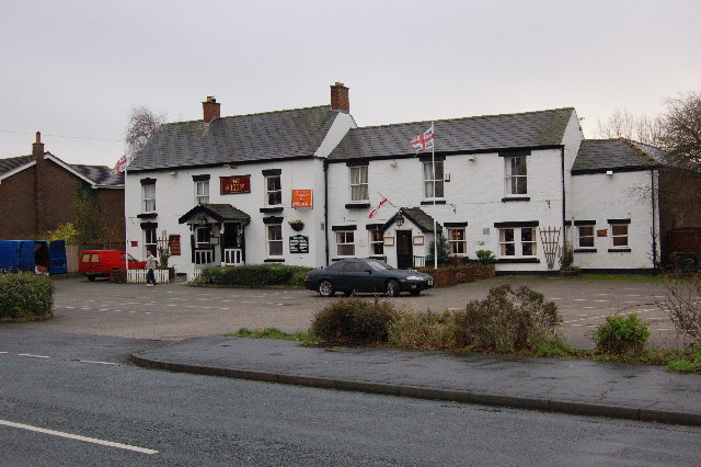
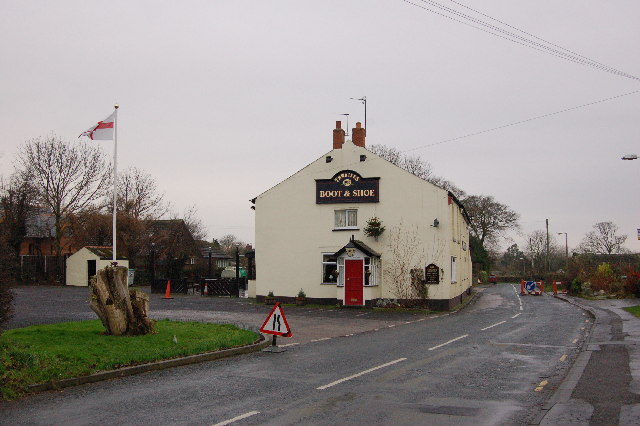
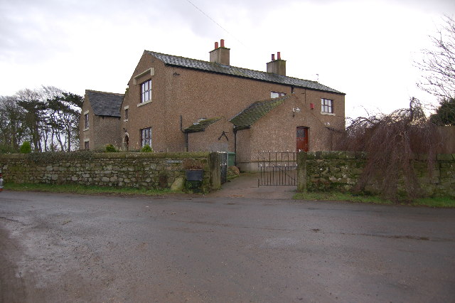
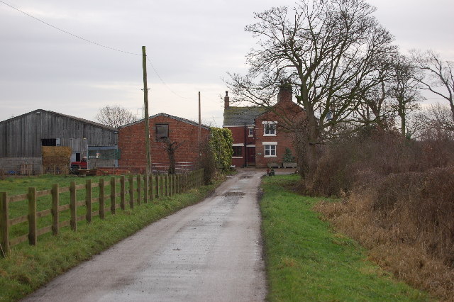
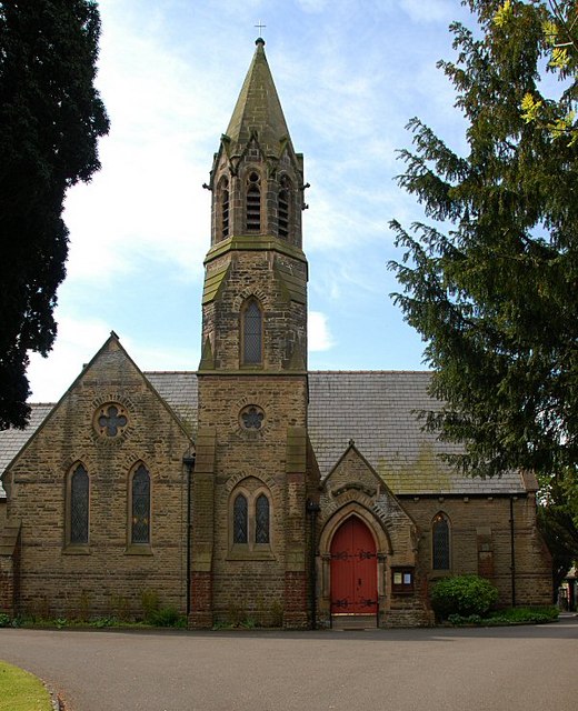
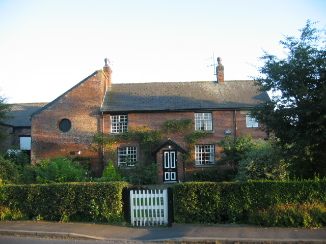
The Fylde region is also dotted with charming villages and towns, which add to its appeal. These settlements offer a glimpse into the area's history and heritage, with many boasting traditional architecture and historical landmarks. Visitors can explore local markets, shops, and cafes, immersing themselves in the warm and welcoming atmosphere of the Fylde.
Overall, the Fylde in Lancashire presents a unique blend of downs and moorland landscapes, providing a diverse range of outdoor experiences. Whether one is seeking stunning panoramic views, wildlife encounters, or a glimpse into rural life, the Fylde offers something for everyone.
If you have any feedback on the listing, please let us know in the comments section below.
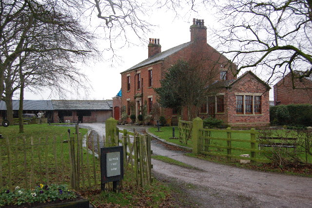
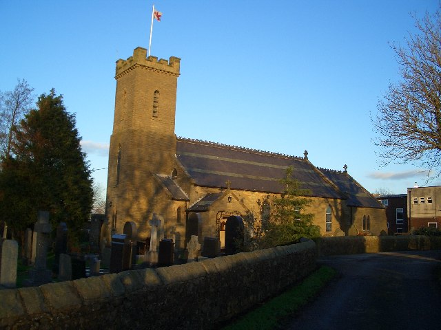
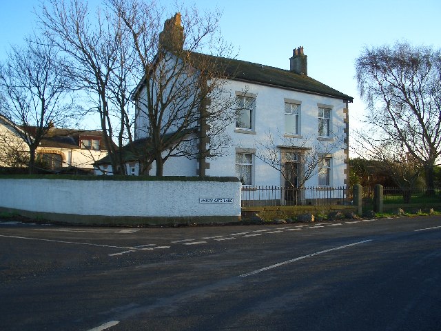
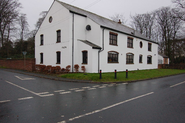
The Fylde Images
Images are sourced within 2km of 53.841036/-2.8823468 or Grid Reference SD4238. Thanks to Geograph Open Source API. All images are credited.
The Fylde is located at Grid Ref: SD4238 (Lat: 53.841036, Lng: -2.8823468)
Administrative County: Lancashire
District: Fylde
Police Authority: Lancashire
What 3 Words
///appraised.picturing.duplicate. Near Elswick, Lancashire
Related Wikis
Elswick, Lancashire
Elswick is a rural village and civil parish on the Fylde coast of Lancashire, England. At the 2011 Census, it had a population of 1,079.At the Norman conquest...

The Fylde
The Fylde () is a coastal plain in western Lancashire, England. It is roughly a 13-mile-long (21-kilometre) square-shaped peninsula, bounded by Morecambe...

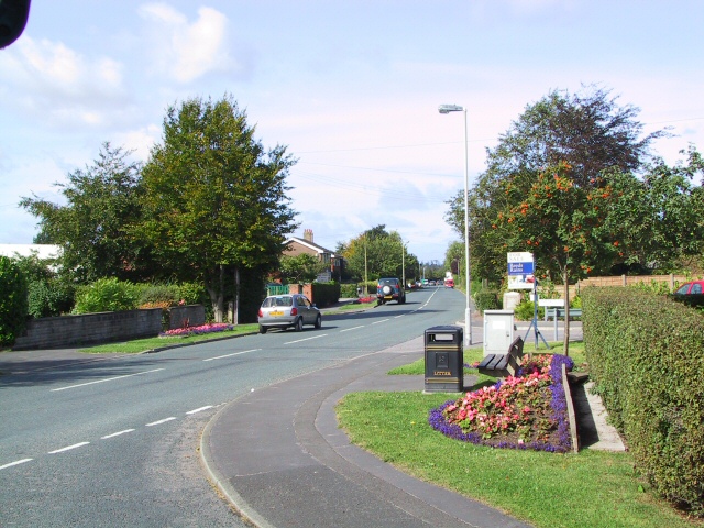
Greenhalgh-with-Thistleton
Greenhalgh-with-Thistleton is a civil parish on the Fylde in Lancashire, England. In 2001 it had a population of 462, falling to 439 at the 2011 Census...

Malt Kiln Farmhouse
Malt Kiln Farmhouse is an historic building in Greenhalgh-with-Thistleton, Lancashire, England. It is believed to date to the mid-18th century, and has...
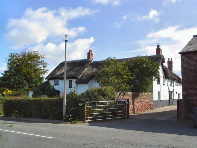
Ivy House, Greenhalgh-with-Thistleton
Ivy House is an historic building in Greenhalgh-with-Thistleton, Lancashire, England. It is believed to date to the early 18th century, and has been designated...
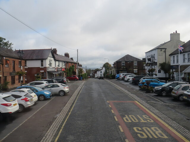
Great Eccleston
Great Eccleston is a village and civil parish in Lancashire, England situated on a coastal plain called the Fylde. The village lies to the south of the...

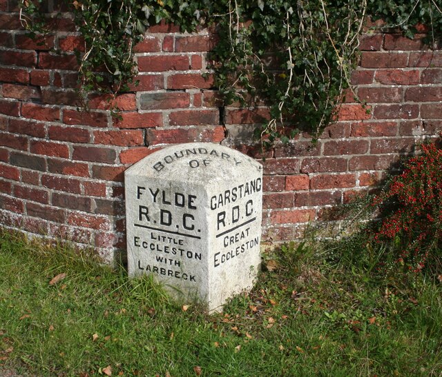
Little Eccleston-with-Larbreck
Little Eccleston-with-Larbreck is a civil parish on the southern bank of the River Wyre on the Fylde in the English county of Lancashire. The population...

The Cartford Inn
The Cartford Inn (formerly Cartford Hotel and Cartford Arms) is a public house and boutique hotel in Little Eccleston-with-Larbreck, Lancashire, England...
Nearby Amenities
Located within 500m of 53.841036,-2.8823468Have you been to The Fylde?
Leave your review of The Fylde below (or comments, questions and feedback).