Hethermoor Plantation

Wood, Forest in Cumberland Carlisle

England

Hethermoor Plantation

Hedge enclosed minor road near Burnt Hill Looking south-westward towards the A6071 road.
Hedge enclosed minor road near Burnt Hill Credit: Peter Wood

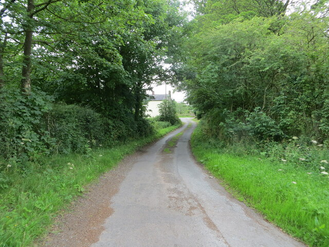
Hethermoor Plantation, located in Cumberland, is a sprawling woodland area known for its dense and diverse forest. Covering an expansive area, the plantation is a haven for nature enthusiasts and hikers alike. The woodland is primarily composed of various species of trees, including oak, maple, birch, and pine, creating a picturesque landscape throughout the year.

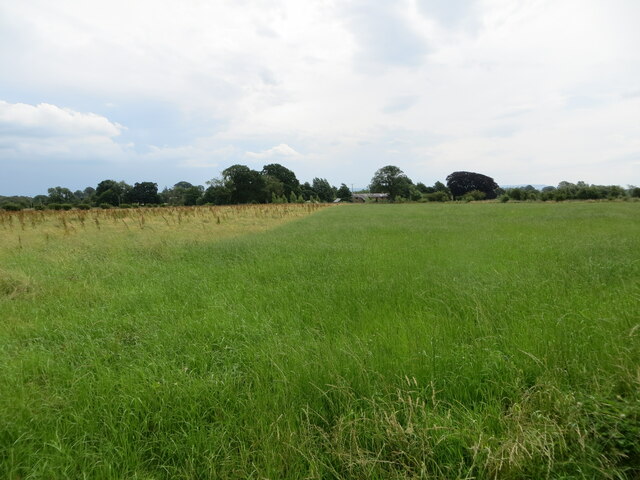
The plantation also boasts a rich biodiversity, with numerous animal species calling it home. Visitors may catch a glimpse of deer, foxes, squirrels, and a wide variety of bird species while exploring the area. The vibrant ecosystem provides a serene and tranquil environment for those seeking solace in nature.

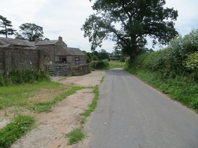
Hethermoor Plantation offers an extensive network of well-maintained trails, allowing visitors to explore the plantation at their own pace. These trails cater to all levels of fitness and interest, from short leisurely walks to longer, more challenging hikes. Along the way, visitors can appreciate the breathtaking vistas, babbling brooks, and occasional waterfalls that dot the landscape.

The plantation is also home to an educational center, where visitors can learn about the local flora and fauna, as well as the history and conservation efforts of the woodland. The center offers guided tours, workshops, and interactive exhibits to engage visitors of all ages.

Whether it is for a peaceful stroll, an adventurous hike, or an educational experience, Hethermoor Plantation in Cumberland is a must-visit destination for nature enthusiasts and those seeking a connection with the great outdoors.

If you have any feedback on the listing, please let us know in the comments section below.

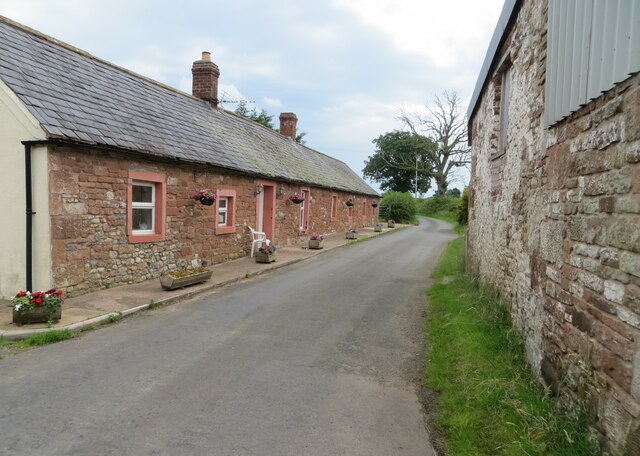
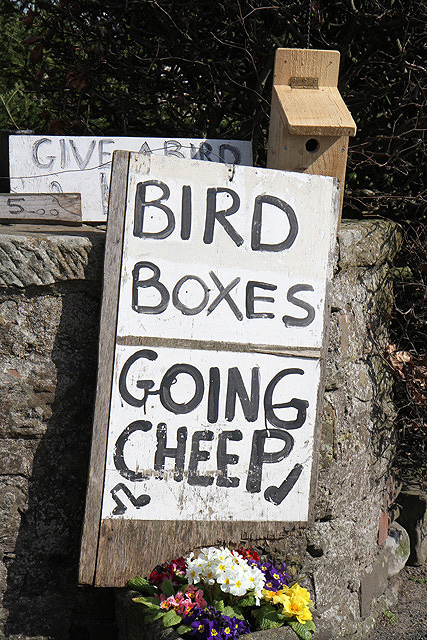
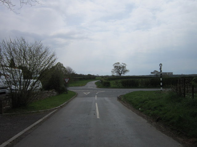
Hethermoor Plantation Images

Images are sourced within 2km of 54.985164/-2.8923307 or Grid Reference NY4265. Thanks to Geograph Open Source API. All images are credited.

Hedge enclosed minor road near Burnt Hill Looking south-westward towards the A6071 road.
Hedge enclosed minor road near Burnt Hill
Looking south-westward towards the A6071 road.
Mown hay field awaiting baling near Kirklinton Looking eastward.
Mown hay field awaiting baling near Kirklinton
Looking eastward.
The Church of St Cuthbert at Kirklinton Viewed from the west.
The Church of St Cuthbert at Kirklinton
Viewed from the west.
Minor road approaching Uppertown Looking south-eastward.
Minor road approaching Uppertown
Looking south-eastward.
Minor road at Hetherside Looking south-eastward.
Minor road at Hetherside
Looking south-eastward.
Skitby Road, Smithfield Looking north-eastward.
Skitby Road, Smithfield
Looking north-eastward.
Hay field near to Rigghead Looking south-eastward in the direction of Sikeside
Hay field near to Rigghead
Looking south-eastward in the direction of Sikeside
Minor road at Dykeside Looking south-eastward.
Minor road at Dykeside
Looking south-eastward.
Ordnance Survey Cut Mark This mark can be found on the wall of St Cuthbert's Church, Kirklinton.
The recorded details give a height of 39.941 metres above sea level.
For more detail see : <span class="nowrap"><a title="https://www.bench-marks.org.uk/bm106481" rel="nofollow ugc noopener" href="https://www.bench-marks.org.uk/bm106481">Link</a><img style="margin-left:2px;" alt="External link" title="External link - shift click to open in new window" src="https://s1.geograph.org.uk/img/external.png" width="10" height="10"/></span>
Ordnance Survey Cut Mark
This mark can be found on the wall of St Cuthbert's Church, Kirklinton. The recorded details give a height of 39.941 metres above sea level. For more detail see : LinkExternal link
Cheep nest boxes for sale This amusing sign was outside a house on the north side of the A6071 at Smithfield. When I stopped to take a photo the house owner came out for a friendly chat. He makes the boxes and sells them for charity. I would have bought one but my garden is well stocked with bird boxes.
Cheep nest boxes for sale
This amusing sign was outside a house on the north side of the A6071 at Smithfield. When I stopped to take a photo the house owner came out for a friendly chat. He makes the boxes and sells them for charity. I would have bought one but my garden is well stocked with bird boxes.
Kirklinton Hall weir Right at the bottom of the garden I came across this weir which Longcleughside beck run through and then drops into the river lyne.
Kirklinton Hall weir
Right at the bottom of the garden I came across this weir which Longcleughside beck run through and then drops into the river lyne.
Kirklinton Halls waterfall At the bottom of the overgrown garden are these delightful falls. (From front of the house follow your nose and listen for the noise.)
Kirklinton Halls waterfall
At the bottom of the overgrown garden are these delightful falls. (From front of the house follow your nose and listen for the noise.)
Longcleughside Beck The stream runs under the first bridge you cross as you go into Kirklinton Hall.
Longcleughside Beck
The stream runs under the first bridge you cross as you go into Kirklinton Hall.
St Cuthbert's, Kirklinton
The way to Mill Town (farm)
A path leading to Holmfoot
The crossroads at Fir End
Show me another place!

Hethermoor Plantation is located at Grid Ref: NY4265 (Lat: 54.985164, Lng: -2.8923307)

Administrative County: Cumbria

District: Carlisle

Police Authority: Cumbria

What 3 Words

///case.timed.playroom. Near Longtown, Cumbria

Related Wikis

Kirklinton Middle

Kirklinton Middle is a civil parish in City of Carlisle district, Cumbria, England. At the 2011 census it had a population of 384.The parish is bordered...

Kirklinton

Kirklinton is a village in the Carlisle district, in the English county of Cumbria. The population of the civil parish of Kirklinton Middle, taken at the...

Smithfield, Cumbria

Smithfield is a village located in the parish of Kirklinton Middle approximately 8 miles north of Carlisle in Cumbria, United Kingdom, and has a population...

Skitby

Skitby is a hamlet in the English county of Cumbria. Skitby lies northeast of the village of Smithfield. == External links == Map sources for Skitby

RAF Longtown

Royal Air Force Longtown or more simply RAF Longtown is a former Royal Air Force satellite station located 2 miles (3.2 km) east of Longtown, Cumbria and...

Scaleby

Scaleby is a village and civil parish in the English county of Cumbria. It is bounded on the north by Kirklinton and Irthington; whilst to the south lie...

Battle of Arfderydd

The Battle of Arfderydd (also known as Arderydd) was fought in medieval Britain in AD 573, according to the Annales Cambriae. The opposing armies are identified...

Arthuret

Arthuret is a civil parish in the Carlisle district of Cumbria, England. According to the 2001 census it had a population of 2,434, increasing to 2,471...

Nearby Amenities

Located within 500m of 54.985164,-2.8923307
Post Box
Ref: CA6 290
Lat/Long: 54.9866673/-2.8989506
Information: guidepost
Tourism: information
Lat/Long: 54.9821414/-2.8955852
Power: pole
Lat/Long: 54.9871666/-2.88608
Colour: green
Man Made: street_cabinet
Operator: Openreach
Ref: Kirklinton PCP 2
Street Cabinet: telecom
Utility: telecom
Lat/Long: 54.9819791/-2.8953996
Barrier: cattle_grid
Lat/Long: 54.9814089/-2.8911956
Power: pole
Lat/Long: 54.986729/-2.8993956
Power: pole
Lat/Long: 54.9859064/-2.899973
Power: pole
Lat/Long: 54.9852171/-2.8990932
Power: pole
Lat/Long: 54.9845041/-2.8982064
Power: pole
Lat/Long: 54.9837663/-2.8972585
Power: pole
Lat/Long: 54.9831232/-2.8961734
Power: pole
Lat/Long: 54.9828258/-2.8956866
Power: pole
Lat/Long: 54.9824054/-2.895532
Power: pole
Lat/Long: 54.9828131/-2.8957943
Power: pole
Lat/Long: 54.9822515/-2.8948701
Power: pole
Lat/Long: 54.9865641/-2.8988999
Power: pole
Lat/Long: 54.981757/-2.8880421
Power: pole
Lat/Long: 54.9822849/-2.8881643
Power: pole
Lat/Long: 54.9828113/-2.8882913
Power: pole
Lat/Long: 54.9811523/-2.8896932
Power: pole
Lat/Long: 54.9812407/-2.8902747
Power: pole
Lat/Long: 54.9813312/-2.8908472
The data included in this document is from www.openstreetmap.org. The data is made available under ODbL.

Have you been to Hethermoor Plantation?

Leave your review of Hethermoor Plantation below (or comments, questions and feedback).