Wood Hill Brow

Wood, Forest in Lancashire South Lakeland

England

Wood Hill Brow

A590 eastbound at Ayside
A590 eastbound at Ayside Credit: Colin Pyle

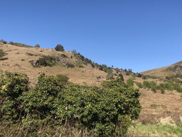
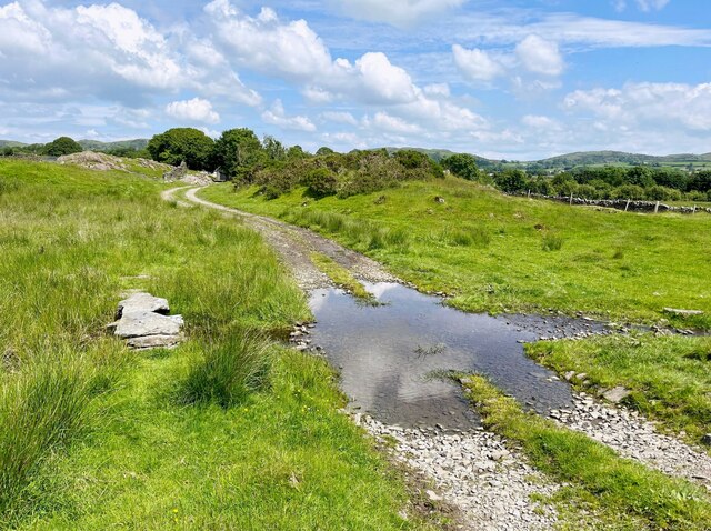
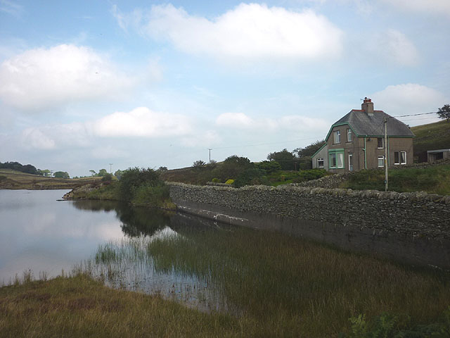
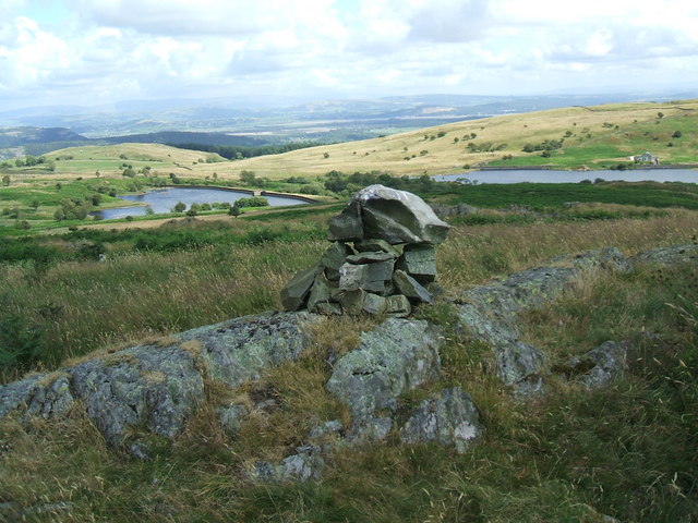
Wood Hill Brow is a picturesque area located in the county of Lancashire, England. Nestled within a dense forest, it is known for its natural beauty and tranquil atmosphere. The name itself reflects the prominence of woodland in the region, with trees providing a stunning backdrop to the landscape.

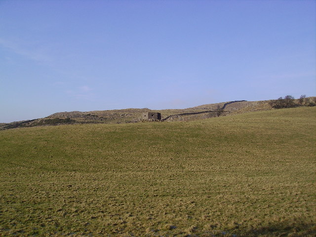
Surrounded by rolling hills and lush greenery, Wood Hill Brow offers breathtaking views of the surrounding countryside. The area is a popular destination for nature enthusiasts, hikers, and photographers, who are drawn to its idyllic charm. The forested areas are home to a diverse range of flora and fauna, making it a haven for wildlife.

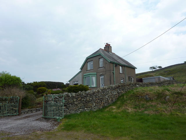
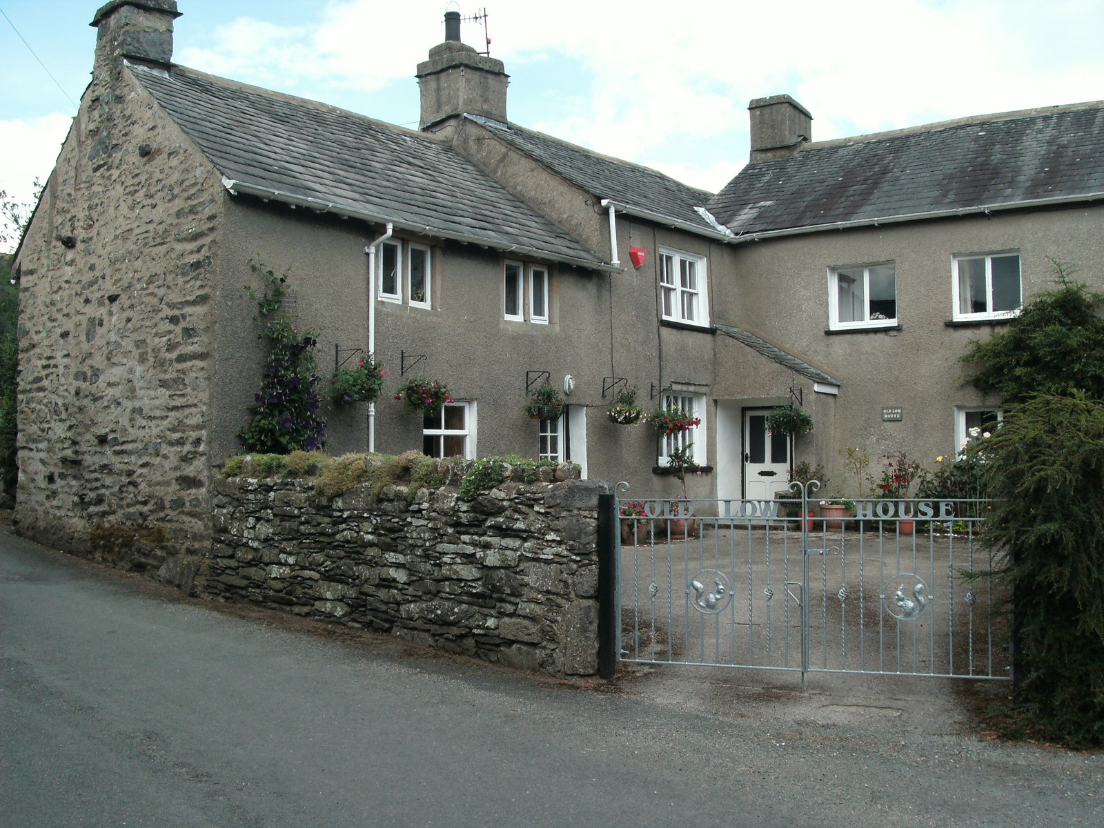
The village of Wood is situated nearby, providing basic amenities and services to both locals and visitors. The community is known for its warm hospitality and friendly residents, who take pride in maintaining the area's natural beauty.

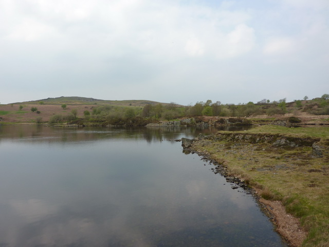
Wood Hill Brow is also steeped in history, with remnants of ancient settlements and landmarks scattered throughout the area. These historical sites provide a glimpse into the past and add to the overall appeal of the region.

In conclusion, Wood Hill Brow in Lancashire is a captivating destination for those seeking a peaceful and scenic retreat. Its enchanting forested landscape, stunning views, and rich history make it a truly unique and unforgettable place to visit.

If you have any feedback on the listing, please let us know in the comments section below.

Wood Hill Brow Images

Images are sourced within 2km of 54.242859/-2.9497048 or Grid Reference SD3883. Thanks to Geograph Open Source API. All images are credited.

A590 eastbound at Ayside
Whitestone Enclosure
High and Low Newton By-pass The A590 north of Grange-Over-Sands
High and Low Newton By-pass
The A590 north of Grange-Over-Sands
Lane near High Cark This old lane, too narrow for modern vehicles links High Cark to Seatle.  It has fallen into disuse and on the central section the western boundary has largely been lost except for a few bushes and the bottom of the dyke.
The lane is a public footpath.
Lane near High Cark
This old lane, too narrow for modern vehicles links High Cark to Seatle. It has fallen into disuse and on the central section the western boundary has largely been lost except for a few bushes and the bottom of the dyke. The lane is a public footpath.
Ford near High Cark Hall Crossed by a public bridleway, a small stone clapper bridge is provided for pedestrians.
Ford near High Cark Hall
Crossed by a public bridleway, a small stone clapper bridge is provided for pedestrians.
Reservoir House near High Newton Reservoir
High Newton Reservoir
High Newton Reservoir and Reservoir House
Bigland Hall Trout Fishery
Farm Building at Hazelrigg
Monkey Puzzle Tree Ayside Not a native to South lakes the Chilean Pine popular with the Victorians pops up unexpectedly in Ayside.
Monkey Puzzle Tree Ayside
Not a native to South lakes the Chilean Pine popular with the Victorians pops up unexpectedly in Ayside.
White Stone Attractive Crag in view from the main road at Staveley in Cartmel. A cheery sight for the frustrated Fellwalker whose work forces him to drive up and down the A590 repeatedly.
White Stone
Attractive Crag in view from the main road at Staveley in Cartmel. A cheery sight for the frustrated Fellwalker whose work forces him to drive up and down the A590 repeatedly.
Chapel House Plantation Near Staveley in Cartmel
Chapel House Plantation
Near Staveley in Cartmel
Pill Box On Whin Brow.There are quite a few Pill Boxes surviving in the area one by the main road has been turned into a nifty garden shed with knomes in the window.
Pill Box
On Whin Brow.There are quite a few Pill Boxes surviving in the area one by the main road has been turned into a nifty garden shed with knomes in the window.
St Peter's Church at Field Broughton Many places called Broughton in this square
St Peter's Church at Field Broughton
Many places called Broughton in this square
Ponies Seatle Seatle South Cumbria not North America
Ponies Seatle
Seatle South Cumbria not North America
Stile near Seatle Public Footpath which heads towards Ayside.Newton Fell on the horizon
Stile near Seatle
Public Footpath which heads towards Ayside.Newton Fell on the horizon
Whitestone Caravan Park On the A. 590
Whitestone Caravan Park
On the A. 590
Show me another place!

Wood Hill Brow is located at Grid Ref: SD3883 (Lat: 54.242859, Lng: -2.9497048)

Administrative County: Cumbria

District: South Lakeland

Police Authority: Cumbria

What 3 Words

///announced.quarrel.spilling. Near Grange-over-Sands, Cumbria

Related Wikis

Ayside

Ayside is a hamlet on the A590 road, in the South Lakeland district, in the county of Cumbria, England. == References == Philip's Street Atlas Cumbria...

St Peter's Church, Field Broughton

St Peter's Church is in the village of Field Broughton, Cumbria, England. It is an active Anglican parish church in the deanery of Windermere, the archdeaconry...

Bigland Barrow

Bigland Barrow is a hill in the English Lake District, near Backbarrow, Cumbria. It is the subject of a chapter of Wainwright's book The Outlying Fells...

Barber Green

Barber Green is a village in Cumbria, England.

High Newton

High Newton is a village in the South Lakeland district, in the county of Cumbria, England. == By-pass == Formerly, the village was bisected by the A590...

Field Broughton

Field Broughton is a village in the South Lakeland district of the English county of Cumbria. The village forms part of the civil parish of Broughton East...

Cartmel Peninsula

Cartmel Peninsula is a peninsula in Cumbria in England. It juts in a southerly direction into Morecambe Bay, bordered by the estuaries of the River Leven...

Newton Fell

Newton Fell is a hill in the English Lake District near High Newton, south east of Newby Bridge, Cumbria. It lies to the north east of the A590 road. It...

Nearby Amenities

Located within 500m of 54.242859,-2.9497048
Seatle Road End
Local Ref: AT
Naptan AtcoCode: 090079662930
Naptan Bearing: N
Naptan BusStopType: CUS
Naptan CommonName: Seatle Road End
Naptan Indicator: at
Naptan Landmark: Seatle Road End
Naptan NaptanCode: cumdmgjp
Naptan Street: Seatle Lane
Naptan Verified: no
Source: naptan_import
Lat/Long: 54.2419267/-2.9483331
Barrier: stile
Lat/Long: 54.2397684/-2.9508744
Barrier: stile
Lat/Long: 54.2390688/-2.9478168
Barrier: stile
Lat/Long: 54.2392186/-2.9458356
Barrier: stile
Lat/Long: 54.239909/-2.9460304
Barrier: stile
Lat/Long: 54.2405164/-2.9529226
Power: pole
Lat/Long: 54.2469909/-2.9470524
Power: pole
Lat/Long: 54.2463087/-2.9458923
Power: pole
Lat/Long: 54.245603/-2.9447296
Power: pole
Lat/Long: 54.244906/-2.9435118
Power: pole
Lat/Long: 54.2442398/-2.9423817
The data included in this document is from www.openstreetmap.org. The data is made available under ODbL.

Have you been to Wood Hill Brow?

Leave your review of Wood Hill Brow below (or comments, questions and feedback).