Isaac Wood

Wood, Forest in Lancashire South Lakeland

England

Isaac Wood

A590 eastbound at Ayside
A590 eastbound at Ayside Credit: Colin Pyle

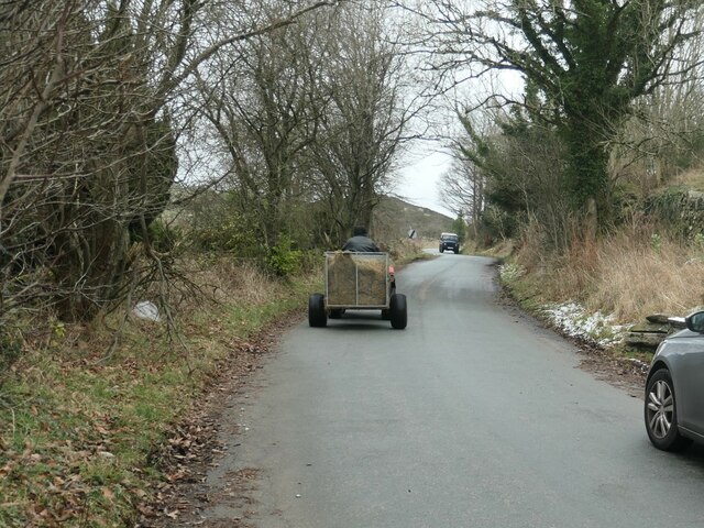
Isaac Wood is a small village located in the county of Lancashire, England. Situated in the Forest of Bowland, a designated Area of Outstanding Natural Beauty, it is surrounded by picturesque landscapes and offers a tranquil setting for its residents and visitors.

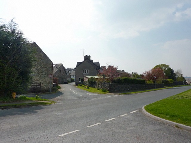
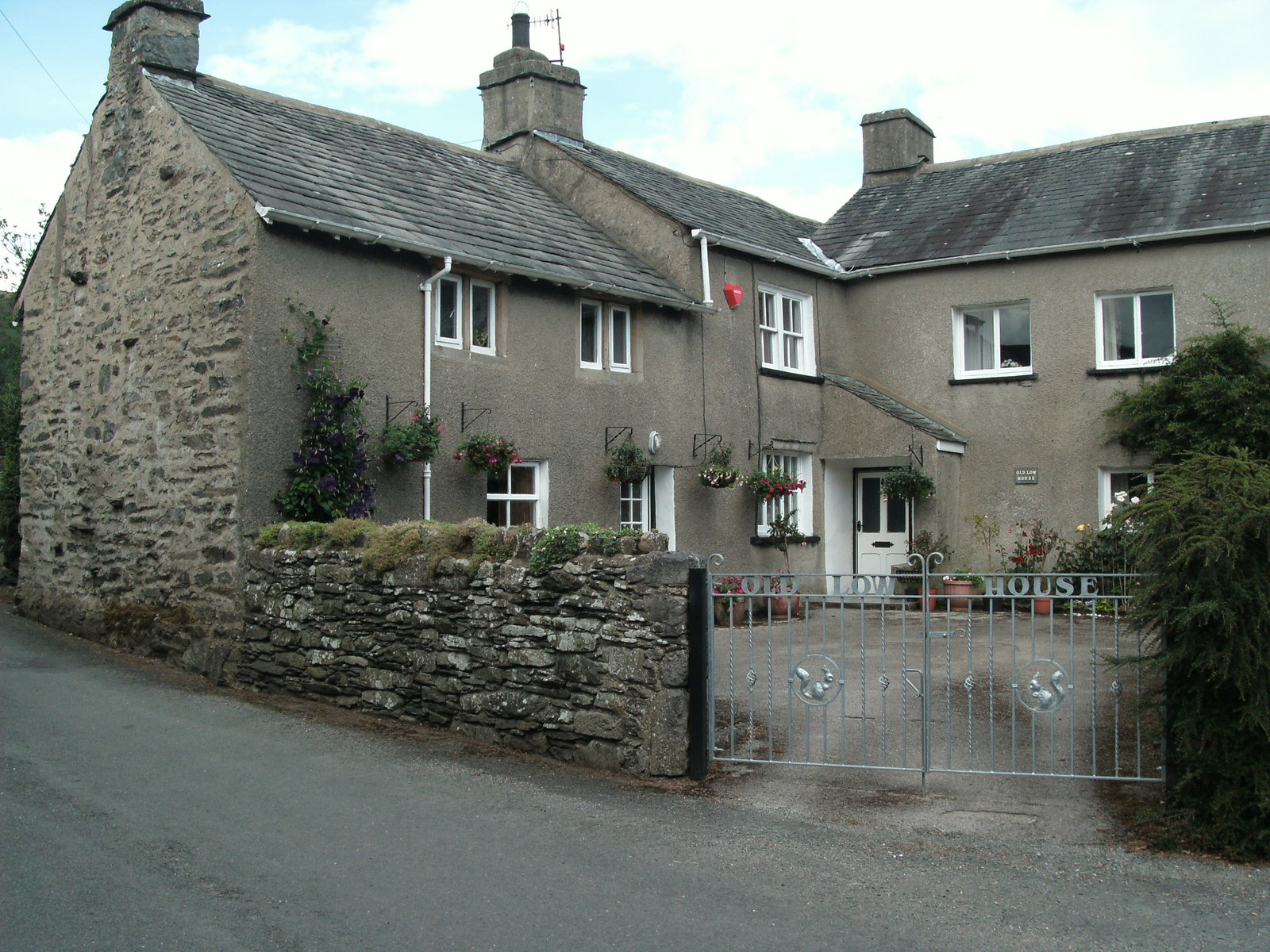
The village itself is characterized by its charming cottages and traditional architecture, reflecting a rich history that dates back many centuries. Nestled amidst lush greenery and rolling hills, Isaac Wood provides a peaceful and idyllic retreat from the hustle and bustle of city life.

Despite its small size, Isaac Wood boasts a close-knit community that takes pride in preserving its heritage and natural surroundings. The village is known for its strong sense of community spirit, with various local events and gatherings organized throughout the year, fostering a sense of camaraderie and belonging.

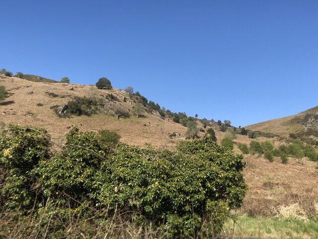
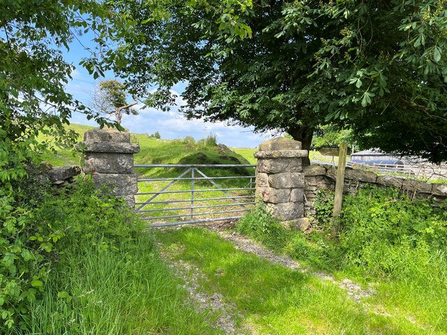
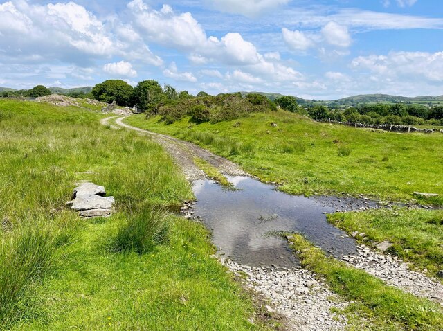
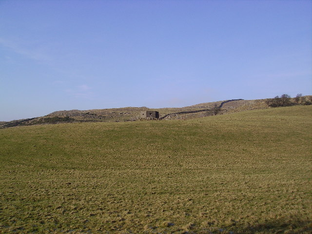
The Forest of Bowland, which encompasses Isaac Wood, offers a plethora of outdoor activities and recreational opportunities. Nature enthusiasts can explore the extensive network of walking trails, cycling routes, and bridleways that meander through the enchanting woodlands and moorlands surrounding the village. Additionally, there are ample opportunities for birdwatching, fishing, and wildlife spotting in the area.

Isaac Wood may be small in size, but it is big on charm and natural beauty. With its stunning surroundings, welcoming community, and a wide range of outdoor activities, it is a haven for those seeking a peaceful and scenic escape in the heart of Lancashire.

If you have any feedback on the listing, please let us know in the comments section below.

Isaac Wood Images

Images are sourced within 2km of 54.238971/-2.9493546 or Grid Reference SD3883. Thanks to Geograph Open Source API. All images are credited.

A590 eastbound at Ayside
Whitestone Enclosure
High and Low Newton By-pass The A590 north of Grange-Over-Sands
High and Low Newton By-pass
The A590 north of Grange-Over-Sands
Road near High Gateside The minor road from Low Wood to Cartmel and Field Broughton.
Road near High Gateside
The minor road from Low Wood to Cartmel and Field Broughton.
Gateway near High Gateside This gateway is at the end of a little used access drive to Greenhurst.  The gate posts are made from blocks of limestone.
A public footpath runs through the gate and there is an Ordnance Survey cut benchmark at the bottom of the right hand gatepost (photograph <a href="https://www.geograph.org.uk/photo/7195628">SD3781 : Benchmark, High Gateside</a>).
Gateway near High Gateside
This gateway is at the end of a little used access drive to Greenhurst. The gate posts are made from blocks of limestone. A public footpath runs through the gate and there is an Ordnance Survey cut benchmark at the bottom of the right hand gatepost (photograph SD3781 : Benchmark, High Gateside).
Benchmark, High Gateside Detail of an Ordnance Survey cut benchmark on the east gatepost of the driveway to Greenhurst.  The benchmark marks a height of 106.2786m above Ordnance Datum Newlyn last verified in 1972 (location photograph <a href="https://www.geograph.org.uk/photo/7195619">SD3781 : Gateway near High Gateside</a>).
Benchmark, High Gateside
Detail of an Ordnance Survey cut benchmark on the east gatepost of the driveway to Greenhurst. The benchmark marks a height of 106.2786m above Ordnance Datum Newlyn last verified in 1972 (location photograph SD3781 : Gateway near High Gateside).
Lane near High Cark This old lane, too narrow for modern vehicles links High Cark to Seatle.  It has fallen into disuse and on the central section the western boundary has largely been lost except for a few bushes and the bottom of the dyke.
The lane is a public footpath.
Lane near High Cark
This old lane, too narrow for modern vehicles links High Cark to Seatle. It has fallen into disuse and on the central section the western boundary has largely been lost except for a few bushes and the bottom of the dyke. The lane is a public footpath.
Ford near High Cark Hall Crossed by a public bridleway, a small stone clapper bridge is provided for pedestrians.
Ford near High Cark Hall
Crossed by a public bridleway, a small stone clapper bridge is provided for pedestrians.
Traffic on Height Road, High Newton Heading northwards out of the village, up to a hamlet called Height and on to the fells. The road is shown and named on the large-scale OS map surveyed in 1848.
Traffic on Height Road, High Newton
Heading northwards out of the village, up to a hamlet called Height and on to the fells. The road is shown and named on the large-scale OS map surveyed in 1848.
Newton Green, High Newton In 1848 [according to the OS] the area which is now the green was a pound [for stray animals] with a pond called Steeping Dub alongside.
Newton Green, High Newton
In 1848 [according to the OS] the area which is now the green was a pound [for stray animals] with a pond called Steeping Dub alongside.
High Newton What was a busy 'A' trunk road is now deserted since the by-pass was built and opened in 2008
High Newton
What was a busy 'A' trunk road is now deserted since the by-pass was built and opened in 2008
Bigland Hall Trout Fishery
Farm Building at Hazelrigg
Monkey Puzzle Tree Ayside Not a native to South lakes the Chilean Pine popular with the Victorians pops up unexpectedly in Ayside.
Monkey Puzzle Tree Ayside
Not a native to South lakes the Chilean Pine popular with the Victorians pops up unexpectedly in Ayside.
Pill Box On Whin Brow.There are quite a few Pill Boxes surviving in the area one by the main road has been turned into a nifty garden shed with knomes in the window.
Pill Box
On Whin Brow.There are quite a few Pill Boxes surviving in the area one by the main road has been turned into a nifty garden shed with knomes in the window.
St Peter's Church at Field Broughton Many places called Broughton in this square
St Peter's Church at Field Broughton
Many places called Broughton in this square
Ponies Seatle Seatle South Cumbria not North America
Ponies Seatle
Seatle South Cumbria not North America
Wall Bigland Heights Bigland heights is a small area of low fells near newby Bridge
Wall Bigland Heights
Bigland heights is a small area of low fells near newby Bridge
Show me another place!

Isaac Wood is located at Grid Ref: SD3883 (Lat: 54.238971, Lng: -2.9493546)

Administrative County: Cumbria

District: South Lakeland

Police Authority: Cumbria

What 3 Words

///circular.cadet.jeering. Near Grange-over-Sands, Cumbria

Related Wikis

Ayside

Ayside is a hamlet on the A590 road, in the South Lakeland district, in the county of Cumbria, England. == References == Philip's Street Atlas Cumbria...

St Peter's Church, Field Broughton

St Peter's Church is in the village of Field Broughton, Cumbria, England. It is an active Anglican parish church in the deanery of Windermere, the archdeaconry...

Barber Green

Barber Green is a village in Cumbria, England.

Field Broughton

Field Broughton is a village in the South Lakeland district of the English county of Cumbria. The village forms part of the civil parish of Broughton East...

Cartmel Peninsula

Cartmel Peninsula is a peninsula in Cumbria in England. It juts in a southerly direction into Morecambe Bay, bordered by the estuaries of the River Leven...

High Newton

High Newton is a village in the South Lakeland district, in the county of Cumbria, England. == By-pass == Formerly, the village was bisected by the A590...

Bigland Barrow

Bigland Barrow is a hill in the English Lake District, near Backbarrow, Cumbria. It is the subject of a chapter of Wainwright's book The Outlying Fells...

Newton Fell

Newton Fell is a hill in the English Lake District near High Newton, south east of Newby Bridge, Cumbria. It lies to the north east of the A590 road. It...

Nearby Amenities

Located within 500m of 54.238971,-2.9493546
Seatle Road End
Local Ref: AT
Naptan AtcoCode: 090079662930
Naptan Bearing: N
Naptan BusStopType: CUS
Naptan CommonName: Seatle Road End
Naptan Indicator: at
Naptan Landmark: Seatle Road End
Naptan NaptanCode: cumdmgjp
Naptan Street: Seatle Lane
Naptan Verified: no
Source: naptan_import
Lat/Long: 54.2419267/-2.9483331
Barrier: kissing_gate
Lat/Long: 54.2375951/-2.9522683
Barrier: stile
Lat/Long: 54.2397684/-2.9508744
Barrier: stile
Lat/Long: 54.2390688/-2.9478168
Barrier: stile
Lat/Long: 54.2392186/-2.9458356
Barrier: stile
Lat/Long: 54.239909/-2.9460304
Barrier: stile
Lat/Long: 54.2402632/-2.9433961
Barrier: stile
Lat/Long: 54.2405164/-2.9529226
Barrier: stile
Lat/Long: 54.2405598/-2.9426065
The data included in this document is from www.openstreetmap.org. The data is made available under ODbL.

Have you been to Isaac Wood?

Leave your review of Isaac Wood below (or comments, questions and feedback).