Seatle Woods
Wood, Forest in Lancashire South Lakeland
England
Seatle Woods

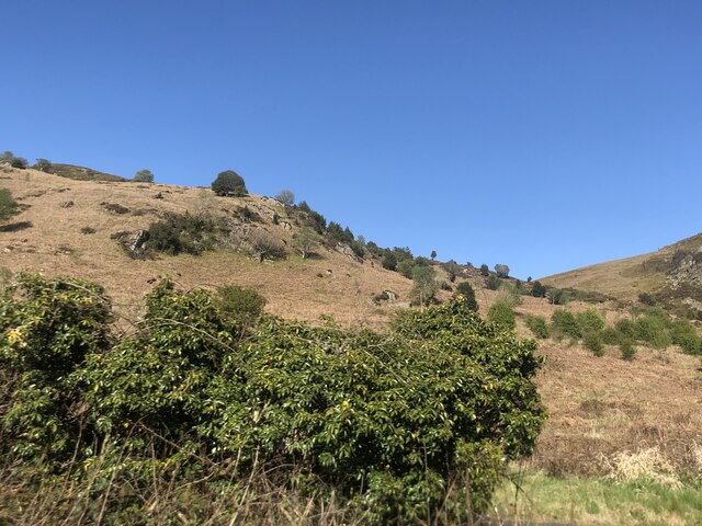
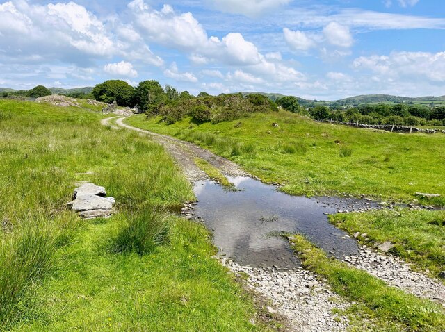
Seattle Woods, located in the county of Lancashire, England, is a picturesque woodland area known for its serene beauty and lush vegetation. Spanning over several hectares, the woods are a popular destination for nature lovers and outdoor enthusiasts alike.
The woods are characterized by their dense, ancient trees, predominantly oak and beech, which create a dense canopy and provide a refuge for various bird species. The forest floor is covered in a thick layer of moss, ferns, and wildflowers, creating a vibrant and colorful landscape. Seattle Woods is also home to a diverse range of wildlife, including squirrels, rabbits, foxes, and a variety of bird species, making it a haven for wildlife enthusiasts and photographers.
Tranquil pathways wind through the woods, offering visitors the opportunity to immerse themselves in the natural surroundings. These well-maintained trails are perfect for leisurely walks, jogging, or cycling, and provide breathtaking views of the surrounding countryside.
Within the woods, there are several picnic areas and seating spots, allowing visitors to relax and enjoy a meal amidst the tranquil setting. Seattle Woods also boasts a small visitor center, providing information about the local flora and fauna, as well as guided tours and educational programs.
Throughout the year, Seattle Woods hosts a range of events and activities, including nature walks, birdwatching sessions, and photography workshops, catering to visitors of all ages and interests. Whether one seeks solitude or an opportunity to connect with nature, Seattle Woods is a destination that offers a truly enchanting experience.
If you have any feedback on the listing, please let us know in the comments section below.
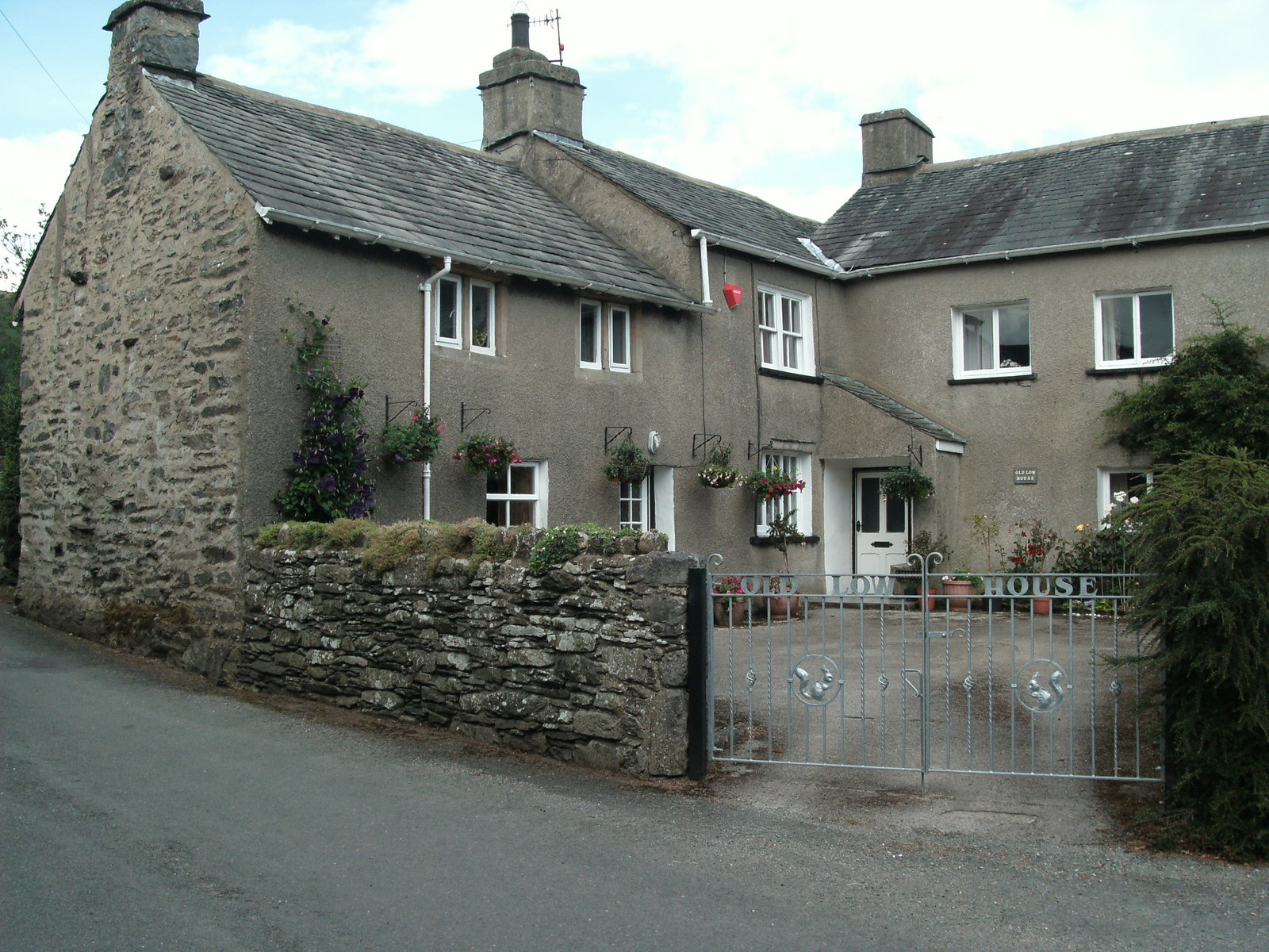
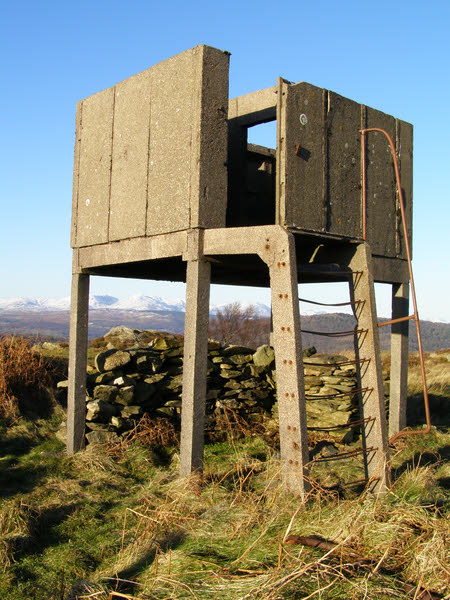
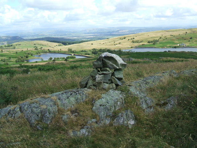
Seatle Woods Images
Images are sourced within 2km of 54.241534/-2.9502421 or Grid Reference SD3883. Thanks to Geograph Open Source API. All images are credited.


Seatle Woods is located at Grid Ref: SD3883 (Lat: 54.241534, Lng: -2.9502421)
Administrative County: Cumbria
District: South Lakeland
Police Authority: Cumbria
What 3 Words
///eventful.sport.demanding. Near Grange-over-Sands, Cumbria
Nearby Locations
Related Wikis
Ayside
Ayside is a hamlet on the A590 road, in the South Lakeland district, in the county of Cumbria, England. == References == Philip's Street Atlas Cumbria...

St Peter's Church, Field Broughton
St Peter's Church is in the village of Field Broughton, Cumbria, England. It is an active Anglican parish church in the deanery of Windermere, the archdeaconry...

Barber Green
Barber Green is a village in Cumbria, England.
Bigland Barrow
Bigland Barrow is a hill in the English Lake District, near Backbarrow, Cumbria. It is the subject of a chapter of Wainwright's book The Outlying Fells...

High Newton
High Newton is a village in the South Lakeland district, in the county of Cumbria, England. == By-pass == Formerly, the village was bisected by the A590...

Field Broughton
Field Broughton is a village in the South Lakeland district of the English county of Cumbria. The village forms part of the civil parish of Broughton East...
Cartmel Peninsula
Cartmel Peninsula is a peninsula in Cumbria in England. It juts in a southerly direction into Morecambe Bay, bordered by the estuaries of the River Leven...
Newton Fell
Newton Fell is a hill in the English Lake District near High Newton, south east of Newby Bridge, Cumbria. It lies to the north east of the A590 road. It...
Nearby Amenities
Located within 500m of 54.241534,-2.9502421Have you been to Seatle Woods?
Leave your review of Seatle Woods below (or comments, questions and feedback).