Ayside Tarn

Lake, Pool, Pond, Freshwater Marsh in Lancashire South Lakeland

England

Ayside Tarn

A590 eastbound at Ayside
A590 eastbound at Ayside Credit: Colin Pyle

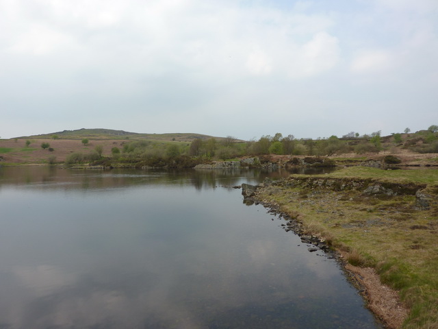
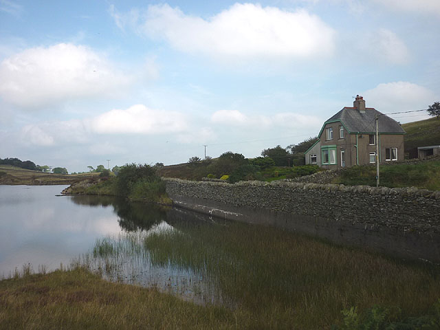
Ayside Tarn, located in Lancashire, England, is a picturesque freshwater marsh nestled amidst the beautiful countryside. It is categorized as a tarn, which refers to a small mountain lake or pool. This serene water body covers an impressive area of approximately 3 hectares and is surrounded by lush greenery, making it a haven for wildlife and nature enthusiasts alike.

The tarn itself is a relatively shallow body of water, with an average depth of around 1 to 2 meters. It is fed by natural springs and rainfall, ensuring a constant supply of freshwater. The water is crystal clear and reflects the surrounding landscape, creating a mesmerizing sight for visitors.

Surrounding the tarn, you can find a diverse range of plant life, including water lilies, reeds, and rushes, which thrive in the marshy environment. These provide a habitat for various species of birds, insects, and small animals, contributing to the ecological richness of the area.

Ayside Tarn offers a tranquil setting for outdoor activities such as fishing, bird watching, and nature walks. Anglers can try their luck at catching perch, pike, and roach, among other freshwater fish species. The tarn is also a popular spot for birdwatchers, with a variety of waterfowl, including ducks and geese, frequenting the area.

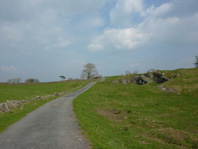
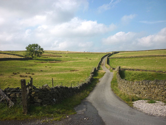
Visitors can access Ayside Tarn through public footpaths and enjoy the beauty of the Lancashire countryside. The tranquil atmosphere, coupled with the diverse flora and fauna, make Ayside Tarn a must-visit destination for those seeking a peaceful retreat in nature.

If you have any feedback on the listing, please let us know in the comments section below.
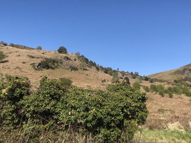
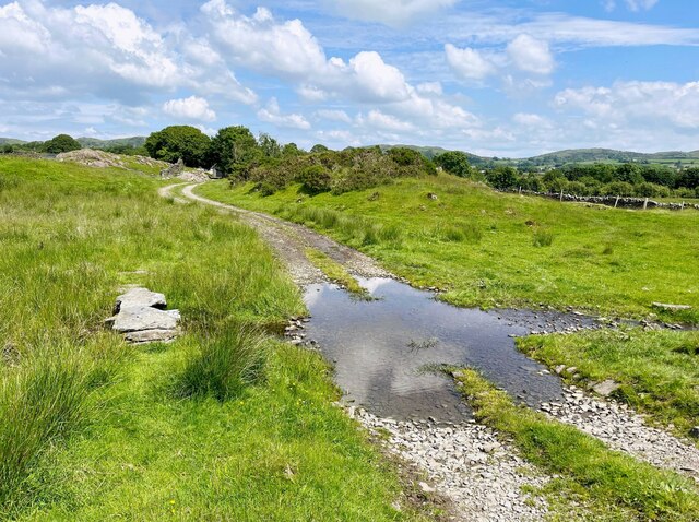
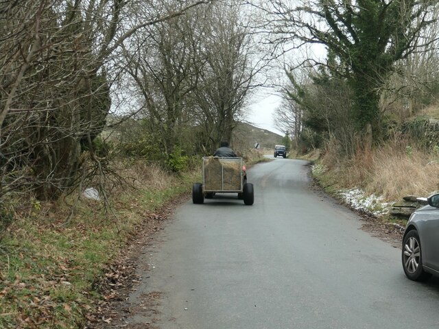
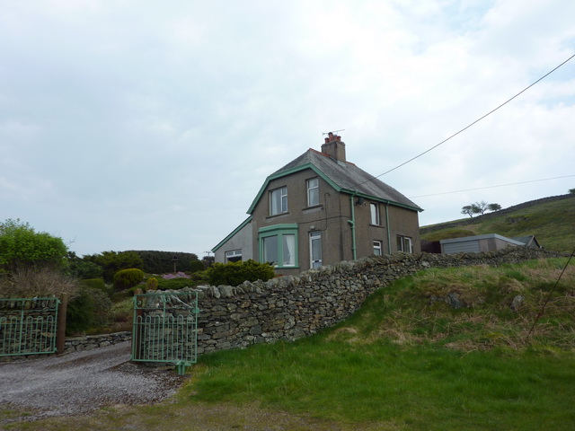
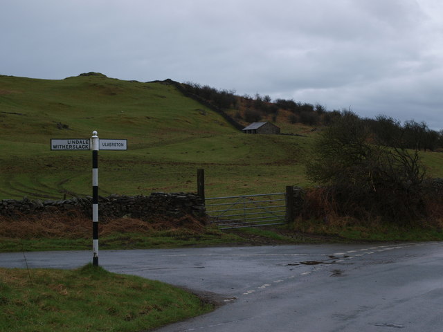
Ayside Tarn Images

Images are sourced within 2km of 54.247126/-2.9431883 or Grid Reference SD3883. Thanks to Geograph Open Source API. All images are credited.

A590 eastbound at Ayside
Forest Track in Chapel House Plantation
Public Bridleway in Chapel House Plantation
Whitestone Enclosure
High and Low Newton By-pass The A590 north of Grange-Over-Sands
High and Low Newton By-pass
The A590 north of Grange-Over-Sands
Lane near High Cark This old lane, too narrow for modern vehicles links High Cark to Seatle.  It has fallen into disuse and on the central section the western boundary has largely been lost except for a few bushes and the bottom of the dyke.
The lane is a public footpath.
Lane near High Cark
This old lane, too narrow for modern vehicles links High Cark to Seatle. It has fallen into disuse and on the central section the western boundary has largely been lost except for a few bushes and the bottom of the dyke. The lane is a public footpath.
Ford near High Cark Hall Crossed by a public bridleway, a small stone clapper bridge is provided for pedestrians.
Ford near High Cark Hall
Crossed by a public bridleway, a small stone clapper bridge is provided for pedestrians.
Felled area of Chapel House Wood With Rosebay Willowherb tacking advantage.
Felled area of Chapel House Wood
With Rosebay Willowherb tacking advantage.
Traffic on Height Road, High Newton Heading northwards out of the village, up to a hamlet called Height and on to the fells. The road is shown and named on the large-scale OS map surveyed in 1848.
Traffic on Height Road, High Newton
Heading northwards out of the village, up to a hamlet called Height and on to the fells. The road is shown and named on the large-scale OS map surveyed in 1848.
Newton Green, High Newton In 1848 [according to the OS] the area which is now the green was a pound [for stray animals] with a pond called Steeping Dub alongside.
Newton Green, High Newton
In 1848 [according to the OS] the area which is now the green was a pound [for stray animals] with a pond called Steeping Dub alongside.
Reservoir House near High Newton Reservoir
High Newton Reservoir
Road from Height Lane to High Newton Reservoir
The Crown, High Newton
High Newton What was a busy 'A' trunk road is now deserted since the by-pass was built and opened in 2008
High Newton
What was a busy 'A' trunk road is now deserted since the by-pass was built and opened in 2008
Junction Height Road and Tow Top Road The sign post at the junction of Height Road and Tow Top Road directs you to Ulverston off to the right and Lindale / Witherslack off to the left.
Junction Height Road and Tow Top Road
The sign post at the junction of Height Road and Tow Top Road directs you to Ulverston off to the right and Lindale / Witherslack off to the left.
High Newton Reservoir and Reservoir House
Simpson Ground Road at Height Hereabouts, the road is more reminiscent of the Yorkshire Dales than the Lake District as the enclosed road leads between rolling pastures dotted with sheep and cattle.
Simpson Ground Road at Height
Hereabouts, the road is more reminiscent of the Yorkshire Dales than the Lake District as the enclosed road leads between rolling pastures dotted with sheep and cattle.
Show me another place!

Ayside Tarn is located at Grid Ref: SD3883 (Lat: 54.247126, Lng: -2.9431883)

Administrative County: Cumbria

District: South Lakeland

Police Authority: Cumbria

What 3 Words

///maps.incurs.darts. Near Grange-over-Sands, Cumbria

Related Wikis

Ayside

Ayside is a hamlet on the A590 road, in the South Lakeland district, in the county of Cumbria, England. == References == Philip's Street Atlas Cumbria...

High Newton

High Newton is a village in the South Lakeland district, in the county of Cumbria, England. == By-pass == Formerly, the village was bisected by the A590...
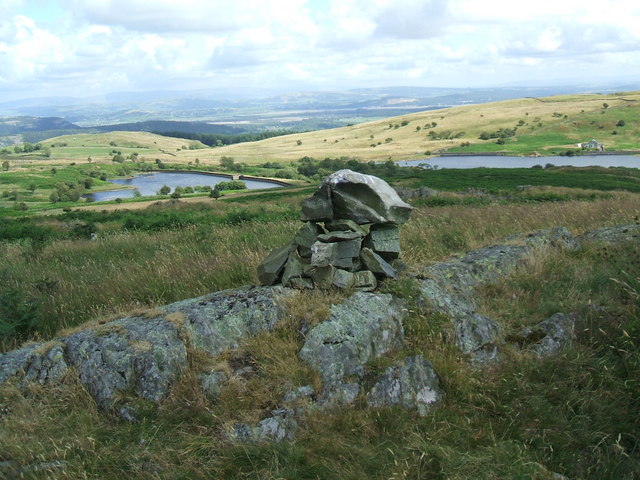
Newton Fell

Newton Fell is a hill in the English Lake District near High Newton, south east of Newby Bridge, Cumbria. It lies to the north east of the A590 road. It...

Barber Green

Barber Green is a village in Cumbria, England.

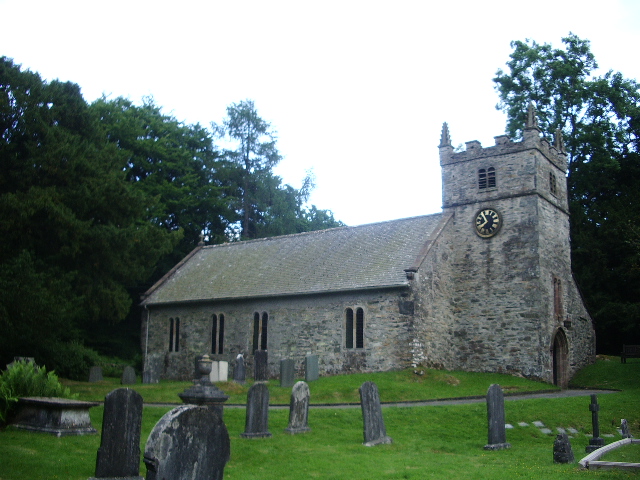
St Peter's Church, Field Broughton

St Peter's Church is in the village of Field Broughton, Cumbria, England. It is an active Anglican parish church in the deanery of Windermere, the archdeaconry...

St Mary's Church, Staveley

St Mary's Church is in the village of Staveley-in-Cartmel, Cumbria, England. It is an active Anglican parish church in the deanery of Windermere, the archdeaconry...

Bigland Barrow

Bigland Barrow is a hill in the English Lake District, near Backbarrow, Cumbria. It is the subject of a chapter of Wainwright's book The Outlying Fells...

Staveley-in-Cartmel

Staveley-in-Cartmel is a small village and civil parish in South Lakeland district, Cumbria, England. It lies east of Newby Bridge, near the south end...

Nearby Amenities

Located within 500m of 54.247126,-2.9431883
Barrier: stile
Lat/Long: 54.2482893/-2.9476463
Barrier: stile
Lat/Long: 54.2485654/-2.9455589
Barrier: stile
Lat/Long: 54.2487597/-2.9442505
Barrier: stile
Lat/Long: 54.2484777/-2.940077
Barrier: stile
Lat/Long: 54.2482993/-2.9475546
Power: pole
Lat/Long: 54.2496847/-2.9484581
Power: pole
Lat/Long: 54.2488517/-2.948388
Power: pole
Lat/Long: 54.2476659/-2.9482401
Power: pole
Lat/Long: 54.2469909/-2.9470524
Power: pole
Lat/Long: 54.2463087/-2.9458923
Power: pole
Lat/Long: 54.245603/-2.9447296
Power: pole
Lat/Long: 54.244906/-2.9435118
Power: pole
Lat/Long: 54.2442398/-2.9423817
Power: pole
Lat/Long: 54.2435824/-2.9412416
Power: pole
Lat/Long: 54.2470348/-2.9373277
Power: pole
Lat/Long: 54.2469411/-2.9365459
Power: pole
Lat/Long: 54.246865/-2.9358668
The data included in this document is from www.openstreetmap.org. The data is made available under ODbL.

Have you been to Ayside Tarn?

Leave your review of Ayside Tarn below (or comments, questions and feedback).