Lady Pool

Lake, Pool, Pond, Freshwater Marsh in Monmouthshire

Wales

Lady Pool

Barn at Arch Farm
Barn at Arch Farm Credit: Jonathan Billinger

Lady Pool is a picturesque lake located in Monmouthshire, Wales. Nestled amidst the stunning natural beauty of the surrounding countryside, it is a popular destination for nature lovers, photographers, and those seeking tranquility. The lake covers approximately 5 acres and is situated near the village of Trellech.

The water in Lady Pool is calm and crystal clear, reflecting the lush greenery and blue skies above. Surrounded by dense woodland and rolling hills, the lake offers a peaceful and serene atmosphere, making it an ideal spot for relaxation and contemplation.

The pool is home to a diverse range of flora and fauna, including various aquatic plants and bird species. Its tranquil waters attract a variety of waterfowl, such as ducks and swans, which can often be seen gracefully gliding across the surface. The lake also supports a thriving population of fish, providing an excellent spot for anglers to try their luck.

Adjacent to the lake is a small freshwater marsh, which further enhances the area's ecological diversity. This marshland is a haven for wetland plants and animals, including reeds, rushes, and amphibians. It serves as an important habitat for many species, contributing to the overall biodiversity of the region.

Lady Pool offers visitors the chance to immerse themselves in nature and enjoy the beauty of the Welsh countryside. Its tranquil ambiance, combined with its abundant wildlife and stunning surroundings, make it a truly enchanting location to visit and explore.

If you have any feedback on the listing, please let us know in the comments section below.
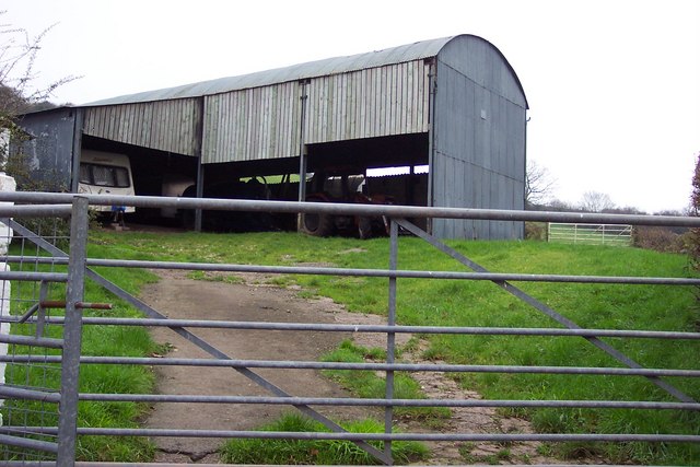
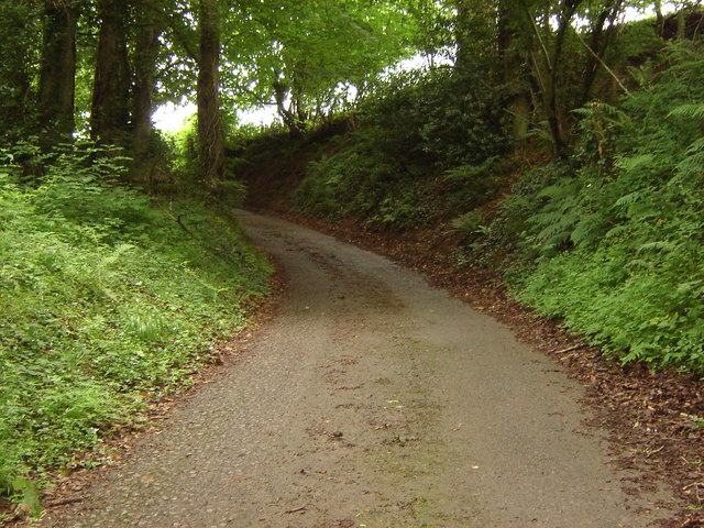
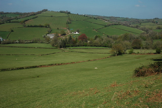
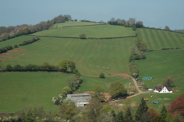
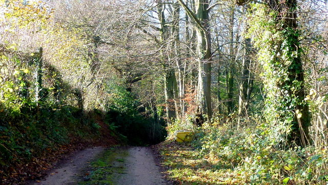
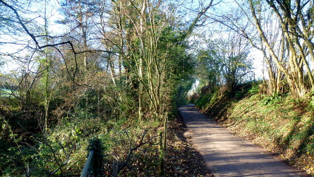
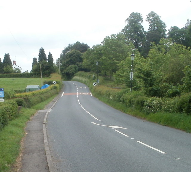
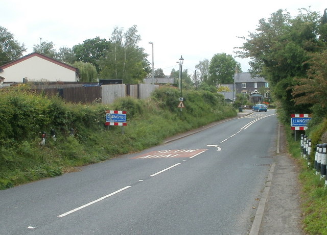
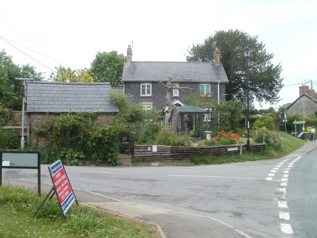
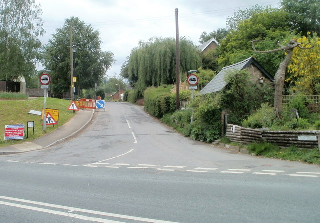
Lady Pool Images

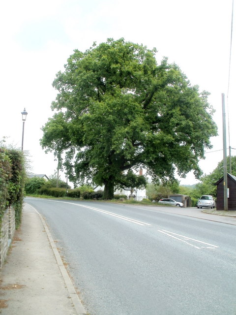
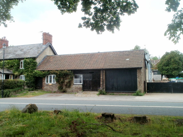
Images are sourced within 2km of 51.670182/-2.8883439 or Grid Reference ST3897. Thanks to Geograph Open Source API. All images are credited.

Barn at Arch Farm
Barn at Arch Farm
Lane rising to meet field boundary, Gwern ddu Hill
View north from Corn Hill Gwern-Ddu Hill viewed from Corn Hill.
View north from Corn Hill
Gwern-Ddu Hill viewed from Corn Hill.
Gwern-Ddu Hill Gwern-Ddu Hill viewed from Corn Hill. The farm in the foreground doesn't appear to be marked on the OS map.
Gwern-Ddu Hill
Gwern-Ddu Hill viewed from Corn Hill. The farm in the foreground doesn't appear to be marked on the OS map.
Gwern Ddu Road The road drops steeply from here.
Cwm-Byr Wood, with beech, to the right.
Gwern Ddu Road
The road drops steeply from here. Cwm-Byr Wood, with beech, to the right.
Nant-y-banw Lane The Llantrisant Brook runs alongside to the left.
Nant-y-banw Lane
The Llantrisant Brook runs alongside to the left.
A449 looking north
A449 looking north
A449 looking north near Llantrisant
Southern edge of Llangybi The road from Usk to Caerleon approaches the start of the National Speed Limit at the southern edge of the village of Llangybi (also spelt Llangibby).
Southern edge of Llangybi
The road from Usk to Caerleon approaches the start of the National Speed Limit at the southern edge of the village of Llangybi (also spelt Llangibby).
Road from Caerleon reaches Llangybi Llangybi (or Llangibby) is a village, population about a thousand, located 3 miles south of Usk and 5 miles north of Caerleon.
Road from Caerleon reaches Llangybi
Llangybi (or Llangibby) is a village, population about a thousand, located 3 miles south of Usk and 5 miles north of Caerleon.
Albert Cottage, Llangybi Located on the corner of Ton Road and the main road through the village.
Albert Cottage, Llangybi
Located on the corner of Ton Road and the main road through the village.
Ton Road, Llangybi Ton Road heads SW away from the main road through the village.
Ton Road, Llangybi
Ton Road heads SW away from the main road through the village.
Parc Road, Llangybi Viewed across the main road through the village. The sign on the left shows Llandegvedd Reservoir 3½ miles.
Parc Road, Llangybi
Viewed across the main road through the village. The sign on the left shows Llandegvedd Reservoir 3½ miles.
Llangybi Post Office and Village Shop Located on the east side of the main road through the village, facing Parc Road. <a title="https://www.geograph.org.uk/photo/2409704" href="https://www.geograph.org.uk/photo/2409704">Link</a>
Llangybi Post Office and Village Shop
Located on the east side of the main road through the village, facing Parc Road. Link
Wooden sculpture outside village shop and post office, Llangybi The sculpture of King Arthur, Guinevere and Merlin is in front of the village shop and post office. <a title="https://www.geograph.org.uk/photo/2409711" href="https://www.geograph.org.uk/photo/2409711">Link</a> 
The name of the village on the side of the building is spelt Llangibby, whereas the boundary signs <a title="https://www.geograph.org.uk/photo/2409676" href="https://www.geograph.org.uk/photo/2409676">Link</a> show Llangybi.
Wooden sculpture outside village shop and post office, Llangybi
The sculpture of King Arthur, Guinevere and Merlin is in front of the village shop and post office. Link The name of the village on the side of the building is spelt Llangibby, whereas the boundary signs Link show Llangybi.
The White Hart Village Inn, Llangybi Located in the centre of the village. Now a gastro pub and restaurant, the White Hart dates from the 16th century. It was Grade II* listed in 1952.
The White Hart Village Inn, Llangybi
Located in the centre of the village. Now a gastro pub and restaurant, the White Hart dates from the 16th century. It was Grade II* listed in 1952.
Oak tree, Llangybi The tree, on the side of the main road through the village, is a few metres north of The White Hart Village Inn. <a title="https://www.geograph.org.uk/photo/2410670" href="https://www.geograph.org.uk/photo/2410670">Link</a>
Oak tree, Llangybi
The tree, on the side of the main road through the village, is a few metres north of The White Hart Village Inn. Link
The Forge, Llangybi Viewed from underneath an oak tree. <a title="https://www.geograph.org.uk/photo/2410680" href="https://www.geograph.org.uk/photo/2410680">Link</a>
The Forge, Llangybi
Viewed from underneath an oak tree. Link
Show me another place!

Lady Pool is located at Grid Ref: ST3897 (Lat: 51.670182, Lng: -2.8883439)

Unitary Authority: Monmouthshire

Police Authority: Gwent

What 3 Words

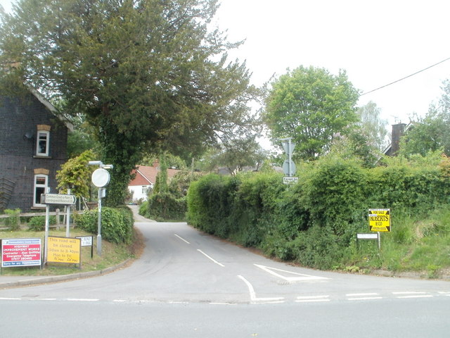
///scorpions.busters.exposes. Near Llangybi, Monmouthshire

Nearby Locations

Coed y Prior Lady Pool

Related Wikis

Church of St Peter, St Paul and St John, Llantrisant

The Church of St Peter, St Paul and St John, is the parish church of Llantrisant, Monmouthshire, Wales. Described by the architectural historian, John...

Llantrisant, Monmouthshire

Llantrisant () is a village in Monmouthshire, south east Wales, United Kingdom. The community population at the 2011 census was 475. == Location == Llantrisant...

Olway Brook

The Olway Brook (Welsh: Nant Olwy) is a left bank tributary of the River Usk in Monmouthshire in south Wales. Arising from the confluence of several brooks...

The Cwm, Llantrisant, Monmouthshire

The Cwm, Llantrisant, Monmouthshire is a farmhouse dating from the 16th century. Expanded in both the 17th and 18th centuries, The Cwm is a Grade II* listed...

Nearby Amenities

Located within 500m of 51.670182,-2.8883439
Llantrisant
Alt Name: Llantrissent
Name Cy: Llantrisaint Fawr
Place: village
Source: npe
Wikidata: Q6661804
Wikipedia: en:Llantrisant, Monmouthshire
Lat/Long: 51.6677208/-2.8824018
Direction: SSE
Generator Method: photovoltaic
Generator Output Electricity: yes
Generator Solar Modules: 14
Generator Source: solar
Generator Type: solar_photovoltaic_panel
Location: roof
Power: generator
Lat/Long: 51.667598/-2.8825325
The data included in this document is from www.openstreetmap.org. The data is made available under ODbL.

Have you been to Lady Pool?

Leave your review of Lady Pool below (or comments, questions and feedback).