Vallet Covert
Wood, Forest in Herefordshire
England
Vallet Covert
Vallet Covert is a picturesque woodland situated in Herefordshire, England. Nestled amidst the rolling hills and tranquil countryside, this forested area offers a serene retreat for nature enthusiasts and outdoor adventurers alike. Spanning over a vast expanse, Vallet Covert is home to a diverse array of flora and fauna, making it a haven for wildlife lovers.
The woodland is primarily composed of dense, ancient deciduous trees that provide a lush canopy, allowing dappled sunlight to filter through the foliage. This creates a magical ambiance, especially during the golden hours of sunrise and sunset. The forest floor is carpeted with a rich layer of leaf litter, moss, and wildflowers, adding to the enchanting atmosphere.
Vallet Covert boasts an extensive network of walking trails and footpaths, allowing visitors to explore its hidden treasures. These pathways wind through the woodland, leading to charming clearings, babbling brooks, and secluded picnic spots. The forest is particularly popular among hikers, cyclists, and birdwatchers, who flock to the area to enjoy its natural beauty and tranquility.
The forest is teeming with wildlife, making it a hotspot for nature enthusiasts. Bird species such as woodpeckers, owls, and warblers can be spotted flitting between the trees, while elusive mammals like deer, foxes, and badgers roam the undergrowth. The forest also supports a diverse range of insects, including butterflies, beetles, and dragonflies.
Overall, Vallet Covert in Herefordshire is a serene woodland paradise that offers a welcome escape from the hustle and bustle of modern life. Whether it's for a leisurely stroll, a family picnic, or an immersive wildlife experience, this enchanting forest has something to offer for everyone.
If you have any feedback on the listing, please let us know in the comments section below.
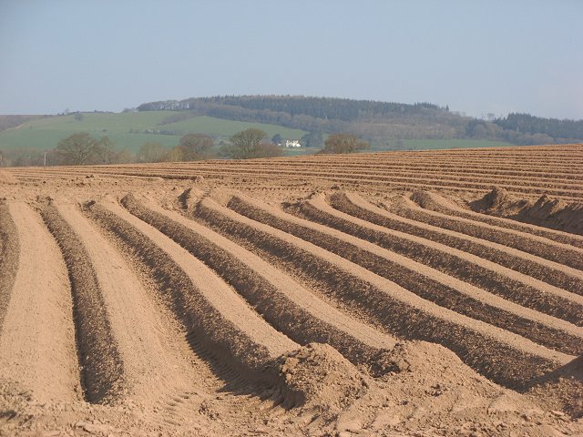
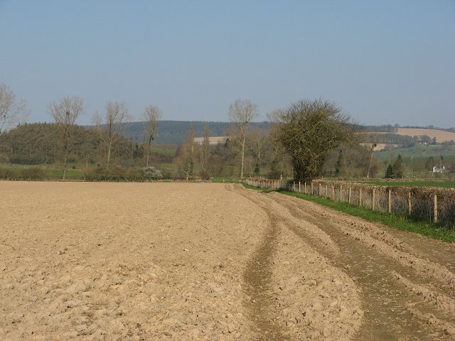
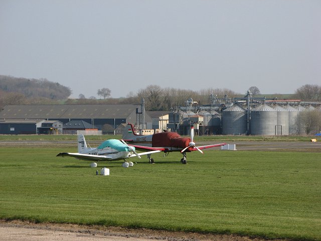
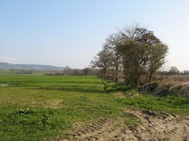
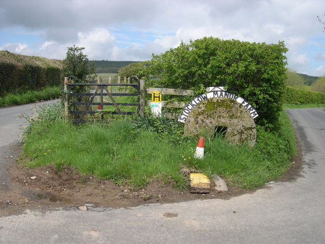
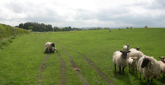
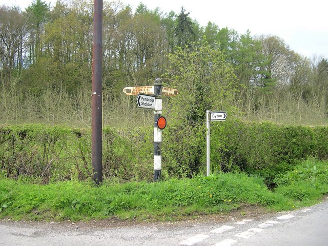
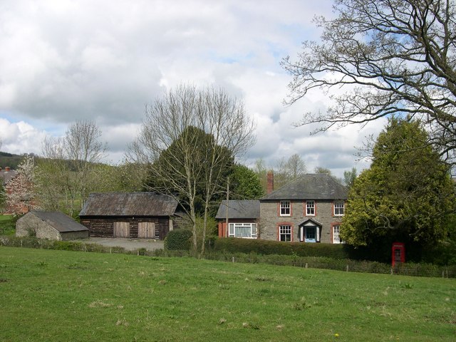
Vallet Covert Images
Images are sourced within 2km of 52.243897/-2.9063507 or Grid Reference SO3861. Thanks to Geograph Open Source API. All images are credited.

Vallet Covert is located at Grid Ref: SO3861 (Lat: 52.243897, Lng: -2.9063507)
Unitary Authority: County of Herefordshire
Police Authority: West Mercia
What 3 Words
///groups.talents.unearthly. Near Kinsham, Herefordshire
Nearby Locations
Related Wikis
Staunton on Arrow
Staunton on Arrow is a village and civil parish in the county of Herefordshire, England. The village is 17 miles (27 km) north-west of Hereford and 8 miles...

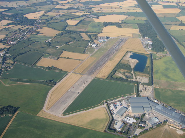
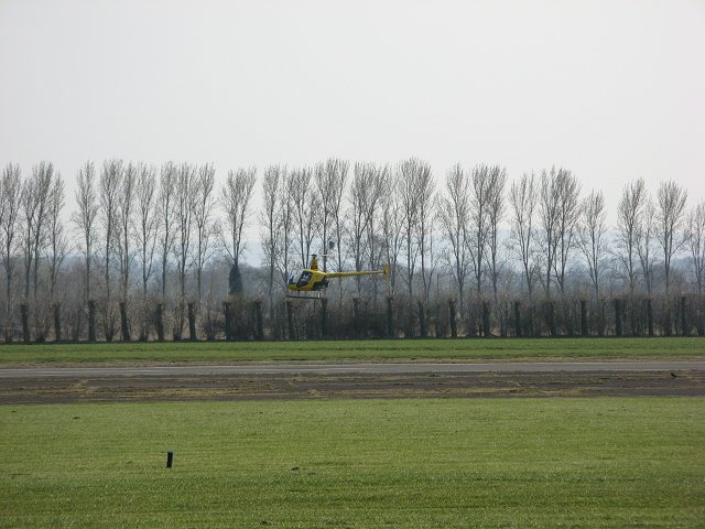
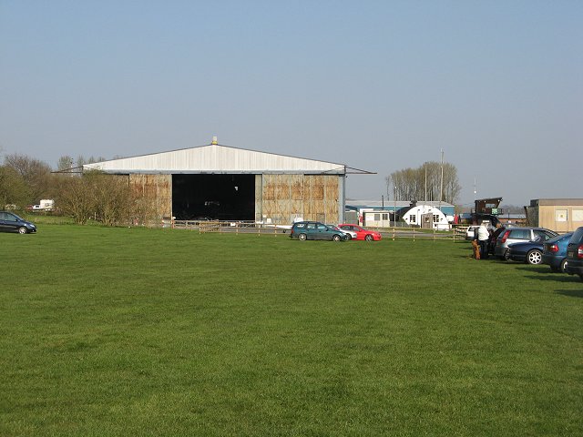
Shobdon Airfield
Shobdon Airfield (ICAO: EGBS) is an airport 6 NM (11 km; 6.9 mi) west of Leominster, Herefordshire, England. == RAF Shobdon == Shobdon started as a British...
Shobdon
Shobdon is a village and civil parish in Herefordshire, England, about 15 miles north of Hereford, six miles west of Leominster, and 2 miles southwest...

Pembridge railway station
Pembridge railway station was a station in Pembridge, Herefordshire, England. The station was opened in 1856 and closed in 1955. The station was located...

Shobdon Court
Shobdon Court was an 18th-century English country house in the village of Shobdon, near Leominster, Herefordshire. Although the main house has since been...

Byton, Herefordshire
Byton is a village and civil parish in Herefordshire, England. Byton is situated on the River Lugg, near the border with Wales. According to the 2001...

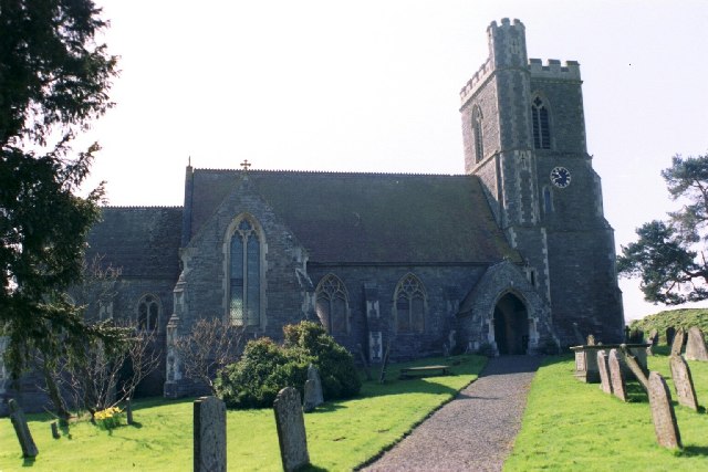
St John's Church, Shobdon
The Church of St John is a Church of England parish church at Shobdon in the English county of Herefordshire. Of 14th century origins, the church was...

Shobdon Priory
Shobdon Priory was a priory in Herefordshire, England at grid reference SO40106284.The church dated from 1140 and was demolished in the 18th century....
Nearby Amenities
Located within 500m of 52.243897,-2.9063507Have you been to Vallet Covert?
Leave your review of Vallet Covert below (or comments, questions and feedback).