Admiral's Seat Plantation

Wood, Forest in Somerset South Somerset

England

Admiral's Seat Plantation

Fingerpost, Cricket Sᵀ Thomas In the junction with A30 a sign indicating the private road to the Hotel and church etc.

Inscription: Cricket Sᵀ Thomas / (Private Road)

Milestone Society National ID: SO_ST3608
Fingerpost, Cricket Sᵀ Thomas Credit: Mr Red

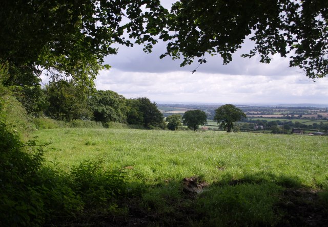
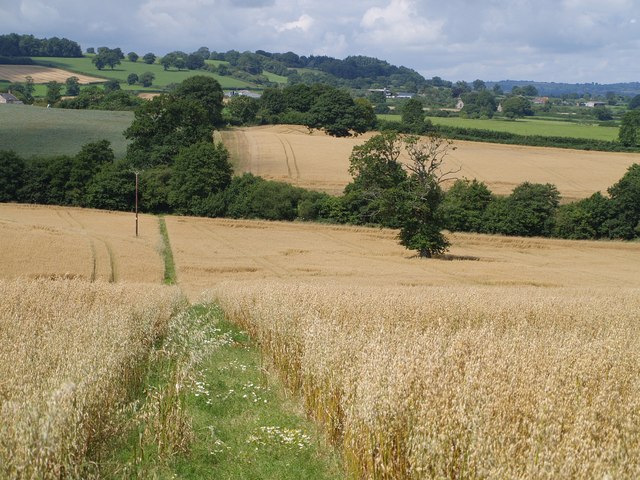
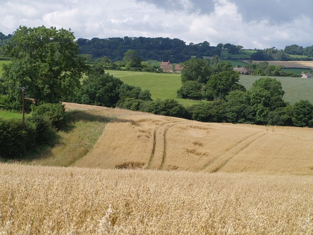
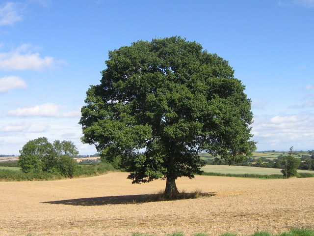
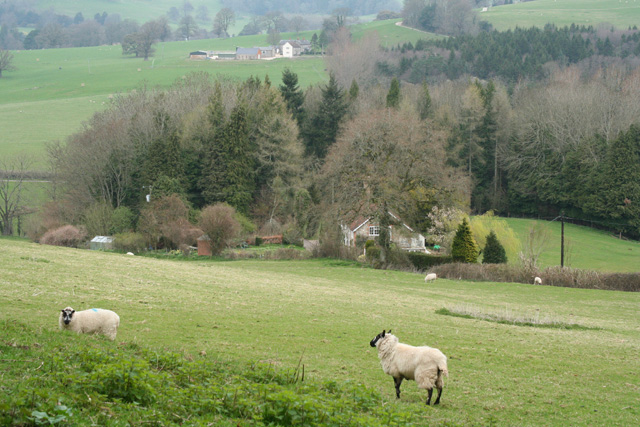
Admiral's Seat Plantation, located in Somerset, is a sprawling wood forest that spans over a significant area. The plantation is known for its lush greenery and diverse range of plant and animal species, making it a haven for nature lovers and wildlife enthusiasts alike.

The plantation is named after Admiral's Seat, a prominent rock formation situated at the heart of the forest. This towering structure offers panoramic views of the surrounding landscape and serves as a popular spot for visitors to admire the scenic beauty of the area.

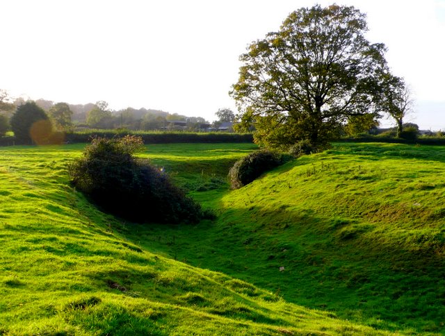
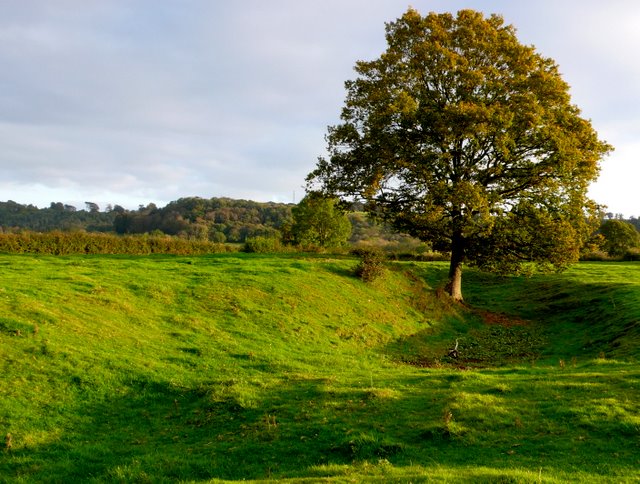
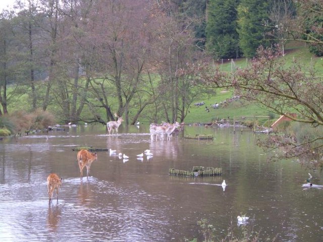
The woodland is primarily composed of a mix of deciduous and coniferous trees, including oak, beech, pine, and spruce. These trees create a dense canopy, providing shade and shelter for a wide variety of wildlife. Birdwatchers can spot numerous species of birds, including woodpeckers, owls, and various songbirds.

Nature trails have been established throughout the plantation, allowing visitors to explore the forest and discover its hidden treasures. Along these trails, one may encounter ancient tree groves, babbling brooks, and vibrant wildflowers. The plantation also boasts a number of picnic areas and designated camping spots for those who wish to immerse themselves in the natural surroundings.

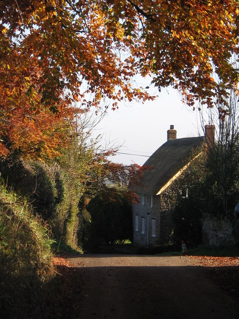
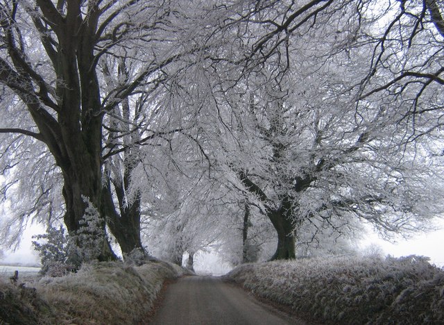
Admiral's Seat Plantation is a cherished resource for the local community, providing a peaceful retreat from the bustle of everyday life. Its conservation efforts have ensured the preservation of this natural gem, making it an ideal destination for anyone seeking solace in the beauty of nature.

If you have any feedback on the listing, please let us know in the comments section below.

Admiral's Seat Plantation Images

Images are sourced within 2km of 50.877674/-2.8899722 or Grid Reference ST3709. Thanks to Geograph Open Source API. All images are credited.

Fingerpost, Cricket Sᵀ Thomas In the junction with A30 a sign indicating the private road to the Hotel and church etc.

Inscription: Cricket Sᵀ Thomas / (Private Road)

Milestone Society National ID: SO_ST3608
Fingerpost, Cricket Sᵀ Thomas
In the junction with A30 a sign indicating the private road to the Hotel and church etc. Inscription: Cricket Sᵀ Thomas / (Private Road) Milestone Society National ID: SO_ST3608
St. Thomas', Cricket St. Thomas, Somerset West wall, Porch and Tower. The original was built in the 14th Century but was almost completely rebuilt for Lord Bridport in 1819-1820.
St. Thomas', Cricket St. Thomas, Somerset
West wall, Porch and Tower. The original was built in the 14th Century but was almost completely rebuilt for Lord Bridport in 1819-1820.
St. Thomas', Cricket St. Thomas, Somerset Originally from the 14th Century but almost completely rebuilt for Lord Bridport in 1819-1820.
St. Thomas', Cricket St. Thomas, Somerset
Originally from the 14th Century but almost completely rebuilt for Lord Bridport in 1819-1820.
St. Thomas', Cricket St. Thomas, Somerset South-East corner.
St. Thomas', Cricket St. Thomas, Somerset
South-East corner.
St. Thomas', Cricket St. Thomas, Somerset All 19th Century Nave.
St. Thomas', Cricket St. Thomas, Somerset
All 19th Century Nave.
St. Thomas', Cricket St. Thomas, Somerset The Font.
St. Thomas', Cricket St. Thomas, Somerset
The Font.
Cudworth: parish church of St. Michael
View above Cudworth Taken from a gateway on the lane down from the Windwhistle Ridge to Cudworth; the lane continues behind the hedge on the left. The two darker trees formed part of a vanished field boundary.
View above Cudworth
Taken from a gateway on the lane down from the Windwhistle Ridge to Cudworth; the lane continues behind the hedge on the left. The two darker trees formed part of a vanished field boundary.
Across Stretford Water Footpath CH6/16 crosses a field of oats and descends, dividing as it does so, to cross the stream. Both branches lead to Cudworth; the nearer buildings in the photo are part of the hamlet at the east end of the village centred around Ware Farm and the former school. The two pairs of trees in the middle of the green field on the far hillside to the left are the field boundary remnants mentioned in <a href="https://www.geograph.org.uk/photo/507996">ST3610 : View above Cudworth</a>.
Across Stretford Water
Footpath CH6/16 crosses a field of oats and descends, dividing as it does so, to cross the stream. Both branches lead to Cudworth; the nearer buildings in the photo are part of the hamlet at the east end of the village centred around Ware Farm and the former school. The two pairs of trees in the middle of the green field on the far hillside to the left are the field boundary remnants mentioned in ST3610 : View above Cudworth.
Cudworth from the east A view towards Cudworth from roughly the same spot as <a href="https://www.geograph.org.uk/photo/508131">ST3810 : Across Stretford Water</a>, looking further south.
Cudworth from the east
A view towards Cudworth from roughly the same spot as ST3810 : Across Stretford Water, looking further south.
Autumn leaves A pretty autumn view looking down lane towards Dowlish Wake. West farm and turning for Cudworth on the right.
Autumn leaves
A pretty autumn view looking down lane towards Dowlish Wake. West farm and turning for Cudworth on the right.
Frosty morning Looking up Sprays Hill towards Windwhistle on the first day of 2009
Frosty morning
Looking up Sprays Hill towards Windwhistle on the first day of 2009
After the harvest A favourite view towards Chillington after the corn was harvested.
After the harvest
A favourite view towards Chillington after the corn was harvested.
Moat near Cudworth This moat just to the south of the church at Cudworth  is probably the remains of a fortified manor house although there is very little in the way of remains inside the moat. The moat is approximately circular and is approximately 75m to 80m in diameter. The interior is slightly higher than the surrounding field. This is the west side of the moat looking north west from just outside the moat on the southern side. There are the remains of fishponds in the adjacent field. Further details can be found here <span class="nowrap"><a title="http://www.gatehouse-gazetteer.info/English%20sites/3867.html" rel="nofollow ugc noopener" href="http://www.gatehouse-gazetteer.info/English%20sites/3867.html">Link</a><img style="margin-left:2px;" alt="External link" title="External link - shift click to open in new window" src="https://s1.geograph.org.uk/img/external.png" width="10" height="10"/></span>
Moat near Cudworth
This moat just to the south of the church at Cudworth is probably the remains of a fortified manor house although there is very little in the way of remains inside the moat. The moat is approximately circular and is approximately 75m to 80m in diameter. The interior is slightly higher than the surrounding field. This is the west side of the moat looking north west from just outside the moat on the southern side. There are the remains of fishponds in the adjacent field. Further details can be found here LinkExternal link
Cudworth Moat A view of the western side of the moat looking south, showing in the foreground the earthwork in the moat where the entrance point may have been.
Cudworth Moat
A view of the western side of the moat looking south, showing in the foreground the earthwork in the moat where the entrance point may have been.
Cricket St Thomas, wildlife park Flamingoes in the landscaped grounds of the Cricket St Thomas estate in Somerset
Cricket St Thomas, wildlife park
Flamingoes in the landscaped grounds of the Cricket St Thomas estate in Somerset
Winsham: north from Limekiln Lane Looking towards Chalkway and Puthill
Winsham: north from Limekiln Lane
Looking towards Chalkway and Puthill
Cricket St Thomas Wildlife Park Deer in the pools at Cricket St Thomas wildlife park
Cricket St Thomas Wildlife Park
Deer in the pools at Cricket St Thomas wildlife park
Show me another place!

Admiral's Seat Plantation is located at Grid Ref: ST3709 (Lat: 50.877674, Lng: -2.8899722)

Administrative County: Somerset

District: South Somerset

Police Authority: Avon and Somerset

What 3 Words

///lawyer.unite.eats. Near Chard, Somerset

Related Wikis

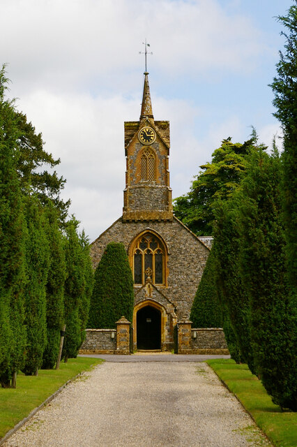
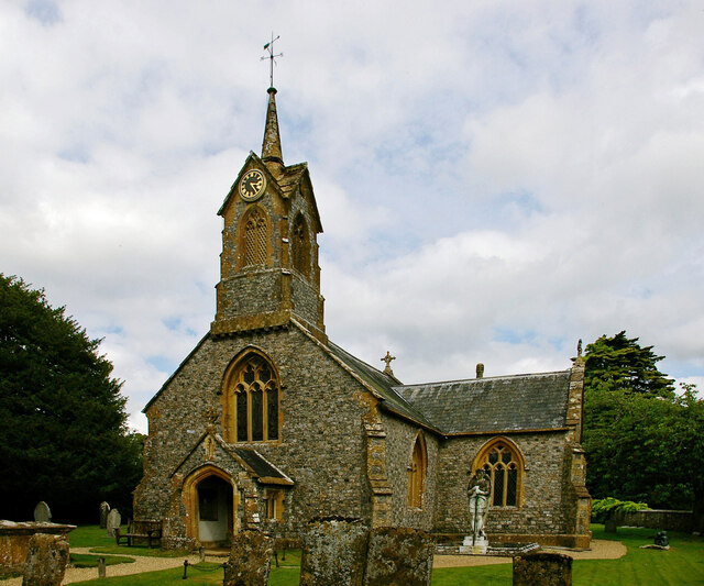
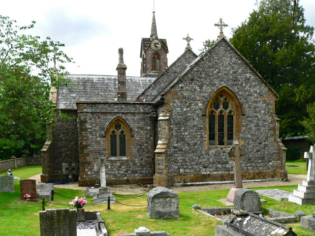
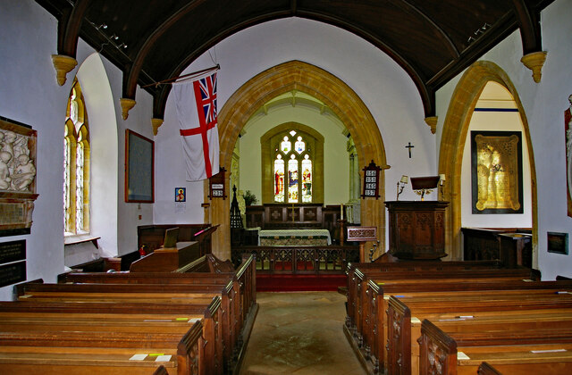
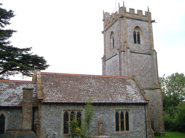
Church of St Thomas, Cricket St Thomas

The Church of St Thomas in Cricket St Thomas, Somerset, England was built in the 14th century and rebuilt in 1868. It is a Grade II* listed building....
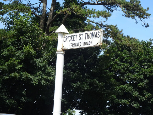
Cricket St Thomas

Cricket St Thomas is a parish in Somerset, England, situated in a valley between Chard and Crewkerne within the South Somerset administrative district...

Cudworth, Somerset

Cudworth (English: ) is a village and parish in Somerset, England, situated 5 miles (8.0 km) north east of Chard in the South Somerset district. The village...

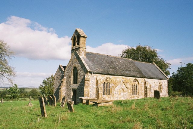
Church of St Michael, Cudworth

The Anglican Church of St Michael in Cudworth, Somerset, England was built in the 12th century. It is a Grade II* listed building. == History == The church...

Church of St Michael and All Angels, Chaffcombe

The Anglican Church of St Michael and All Angels in Chaffcombe, Somerset, England was built in the 15th century. It is a Grade II* listed building. �...

Chillington, Somerset

Chillington is a village and parish in Somerset, England, situated 3 miles (5 km) west of Crewkerne and 5 miles (8 km) east of Chard in the South Somerset...

Chaffcombe

Chaffcombe is a village and civil parish in Somerset, England, situated 2 miles (3.2 km) north east of Chard in the South Somerset district. The village...

Winsham

Winsham is a village and civil parish 4 miles (6 km) south-east of Chard and 6 miles (10 km) from Crewkerne, in the South Somerset district of Somerset...

Related Videos

Cricket St Thomas June 2022

One week stay at Warners Hotel.

Travelling Light

On Holiday with some friends the wife and Quingo my mobility scooter enjoying this good weather at Cricket St Thomas. Music by ...

Never Give In

Filmed from my Mobility Scooter whilst staying at Warners Cricket St Thomas enjoy. Cheers Bob,

Paragliding: My Harnesses

Hello guys I had requests from many of you, about that what harnesses i am flying. Especially you were interested about my super ...

Nearby Amenities

Located within 500m of 50.877674,-2.8899722
Cricket St. Thomas Hotel
Tourism: hotel
Lat/Long: 50.8738422/-2.8922259
Fountain
Lat/Long: 50.8737431/-2.8907565
Restaurant
Fenocchi's
Lat/Long: 50.874159/-2.8913128
Fenocchi's Junction Station
Railway: station
Usage: tourism
Lat/Long: 50.8736888/-2.8900803
Amazing Holiday Homes
Shop: travel_agency
Lat/Long: 50.8736598/-2.8883069
Power: pole
Source: bing
Lat/Long: 50.8750124/-2.8916466
Power: pole
Source: bing
Lat/Long: 50.8786876/-2.8936261
Power: pole
Source: bing
Lat/Long: 50.8782831/-2.8933981
Power: pole
Source: bing
Lat/Long: 50.8757292/-2.8920034
Power: pole
Source: bing
Lat/Long: 50.8763554/-2.8923735
Power: pole
Source: bing
Lat/Long: 50.8775638/-2.8930092
The data included in this document is from www.openstreetmap.org. The data is made available under ODbL.

Have you been to Admiral's Seat Plantation?

Leave your review of Admiral's Seat Plantation below (or comments, questions and feedback).