Peak Coppice
Wood, Forest in Dorset
England
Peak Coppice
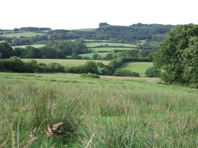
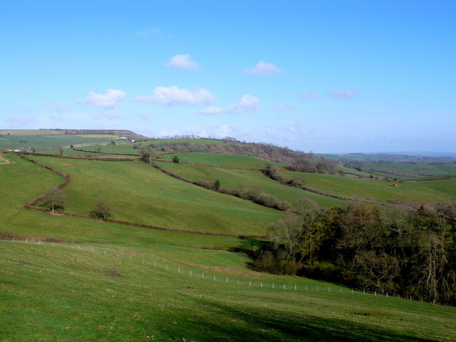
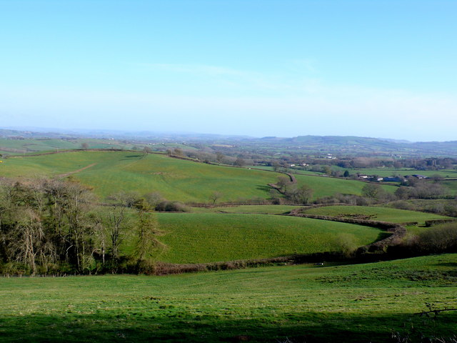
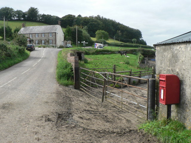
Peak Coppice is a well-preserved wood located in the county of Dorset, England. Covering an area of approximately 120 acres, it is known for its diverse flora and fauna, making it a popular destination for nature enthusiasts and hikers.
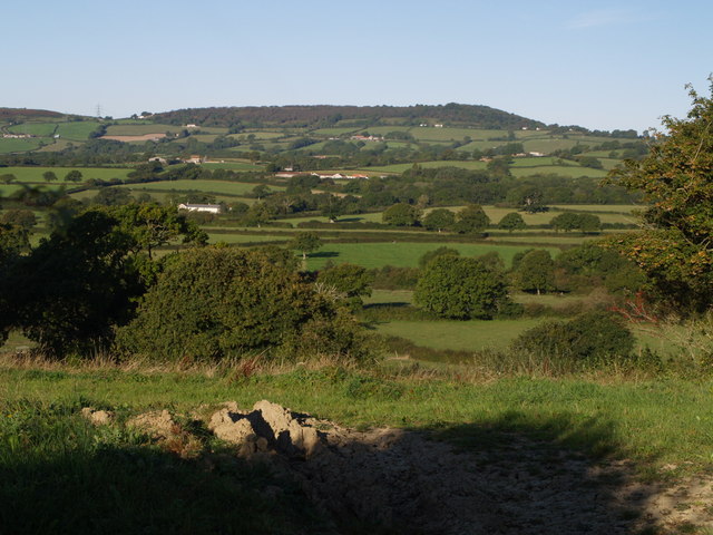
The wood is situated on a gentle slope, with the highest point reaching an elevation of around 150 meters. It is predominantly composed of broadleaf trees, including oak, beech, and birch, which provide a rich canopy and create a sense of tranquility within the forest. The woodland floor is adorned with an array of wildflowers, such as bluebells, primroses, and foxgloves, offering a vibrant and colorful display during the spring and summer months.
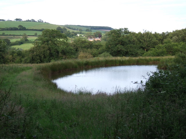
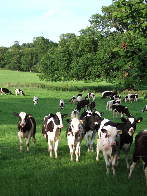
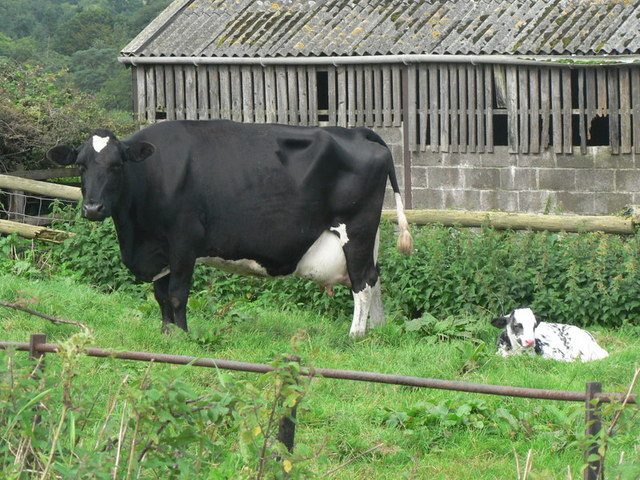
Peak Coppice is home to a variety of wildlife species, including deer, badgers, and foxes. Birdwatchers can also spot numerous avian inhabitants, including woodpeckers, owls, and various songbirds. The wood's diverse ecosystem is further enhanced by the presence of several small ponds, which attract an assortment of amphibians and insects.
There are several well-marked trails throughout Peak Coppice, allowing visitors to explore the wood at their own pace. These paths meander through the trees, offering glimpses of breathtaking views and providing opportunities for peaceful picnics or photography.
Managed by the local council, Peak Coppice is a designated Site of Special Scientific Interest (SSSI) due to its ecological significance. This status ensures that the wood is protected and conserved for future generations to enjoy.
If you have any feedback on the listing, please let us know in the comments section below.
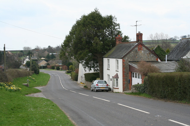
Peak Coppice Images
Images are sourced within 2km of 50.80194/-2.8884472 or Grid Reference ST3700. Thanks to Geograph Open Source API. All images are credited.


Peak Coppice is located at Grid Ref: ST3700 (Lat: 50.80194, Lng: -2.8884472)
Unitary Authority: Dorset
Police Authority: Dorset
What 3 Words
///profited.peanut.scouted. Near Charmouth, Dorset
Nearby Locations
Related Wikis

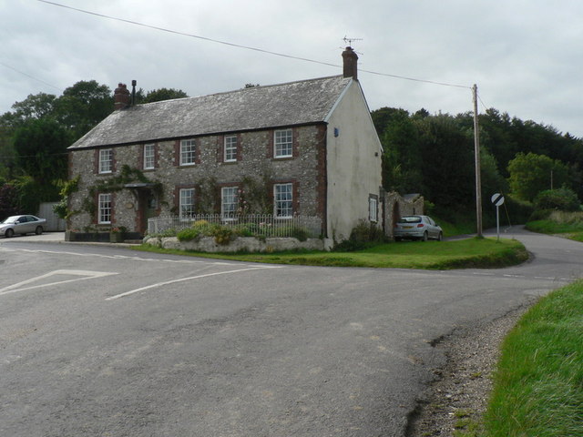
The Bottle Inn
The Bottle Inn is a 16th-century public house at Marshwood in Dorset, England which hosts the World Nettle Eating Championship. It is Grade II listed....

Payne's Down
Payne's Down is a prominent hill, 211 metres (692 ft) high, some 10 kilometres east-northeast of Axminster and 1 kilometre northwest of Birdsmoorgate,...

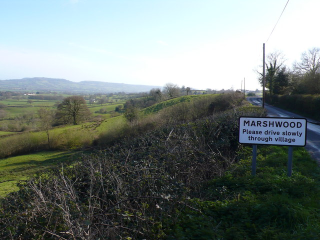
Marshwood
Marshwood is a village and civil parish in west Dorset, England, situated on the northern edge of the Marshwood Vale approximately 5.5 miles (8.9 km) northeast...

St Mary's Church, Marshwood
St Mary's Church is a Church of England church in Marshwood, Dorset, England. The earliest part of the church is the tower, which dates to 1840, while...
Lambert's Castle Hill
Lambert's Castle Hill (258 metres, 846 feet high) rises between the villages of Marshwood and Fishpond Bottom in the county of Dorset, England. It is...

Lambert's Castle
Lambert's Castle is an Iron Age hillfort in the county of Dorset in southwest England. Since 1981 it has been designated as a Site of Special Scientific...

Bettiscombe
Bettiscombe is a small village and civil parish in west Dorset, England, situated in the Marshwood Vale four miles (6.4 km) west of Beaminster. Dorset...

St John's Church, Fishpond Bottom
St John's Church is a Church of England church in Fishpond Bottom, Dorset, England. It was built in 1852 and has been a Grade II listed building since...
Nearby Amenities
Located within 500m of 50.80194,-2.8884472Have you been to Peak Coppice?
Leave your review of Peak Coppice below (or comments, questions and feedback).