Katy Intake Plantation
Wood, Forest in Lancashire South Lakeland
England
Katy Intake Plantation
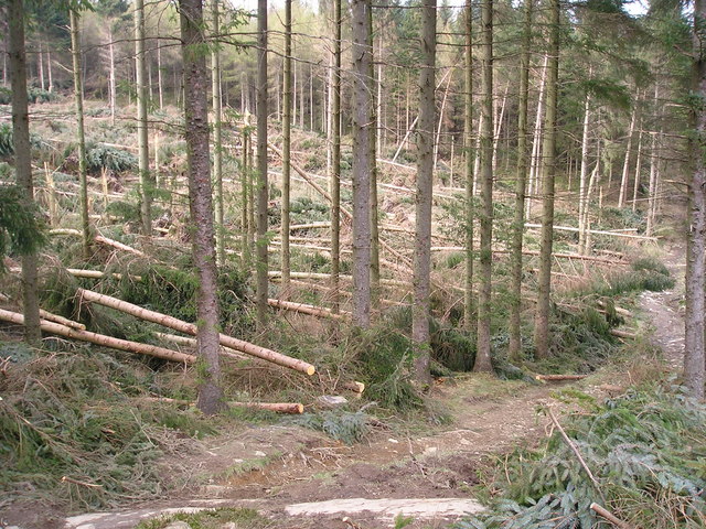
Katy Intake Plantation is a picturesque woodland located in the county of Lancashire, England. Situated near the town of Wood and within the larger area known as Forest, this plantation is a haven for nature enthusiasts and those seeking tranquility in a natural setting.
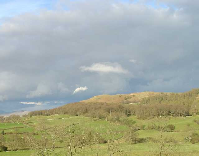
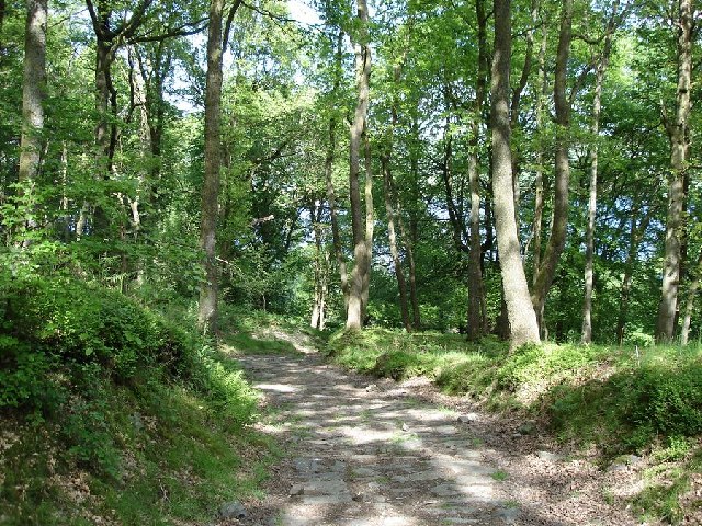
Covering an area of approximately 100 acres, Katy Intake Plantation is primarily composed of dense deciduous trees, including oak, beech, and birch. The lush green foliage provides a stunning backdrop throughout the year, with vibrant displays of autumnal colors in the fall and a refreshing canopy during the summer months.
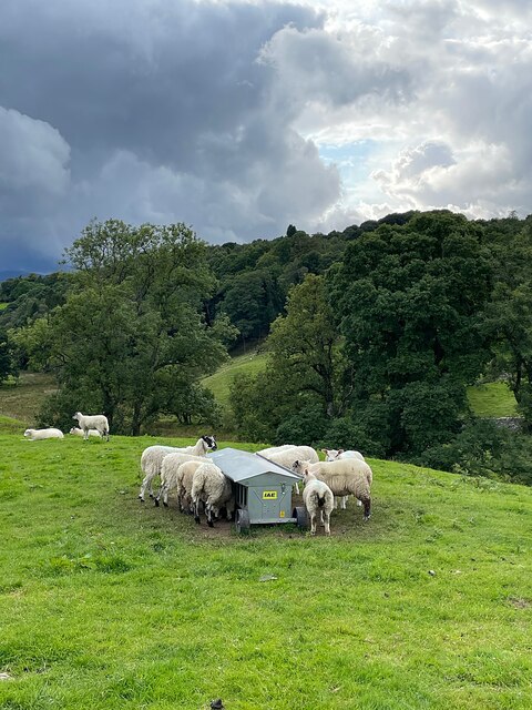
The plantation is home to a diverse range of flora and fauna, making it an ideal spot for wildlife observation. Visitors may spot various species of birds, such as woodpeckers and owls, as well as small mammals like squirrels and rabbits. The plantation also boasts a rich variety of wildflowers, adding bursts of color to the woodland floor.
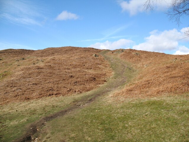
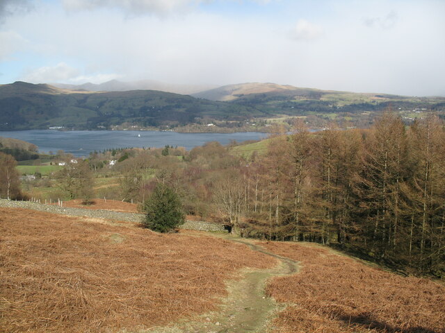
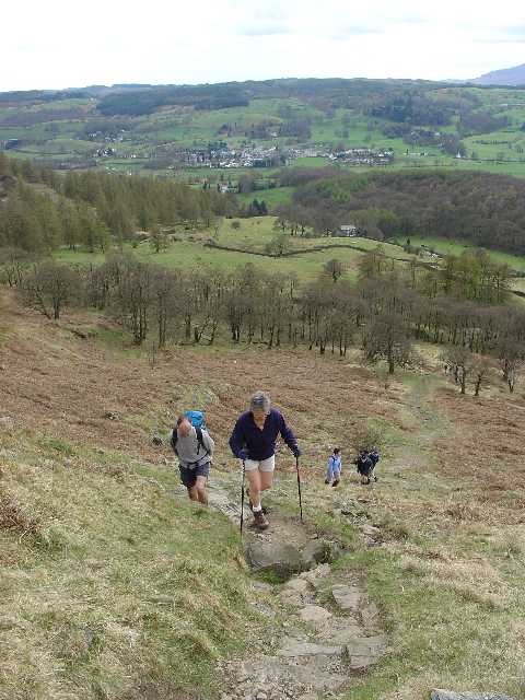
A network of well-maintained footpaths and trails crisscrosses the plantation, allowing visitors to explore its natural beauty at their own pace. These pathways offer opportunities for leisurely walks, jogging, or cycling, all while immersing oneself in the tranquil ambiance of the woodland.
Katy Intake Plantation is a popular destination for locals and tourists alike, offering a peaceful retreat from the hustle and bustle of everyday life. Whether it's a leisurely stroll, a family picnic, or simply a moment of solitude in nature, this Lancashire woodland provides a serene escape for all who visit.
If you have any feedback on the listing, please let us know in the comments section below.
Katy Intake Plantation Images
Images are sourced within 2km of 54.382933/-2.9641461 or Grid Reference SD3799. Thanks to Geograph Open Source API. All images are credited.


Katy Intake Plantation is located at Grid Ref: SD3799 (Lat: 54.382933, Lng: -2.9641461)
Administrative County: Cumbria
District: South Lakeland
Police Authority: Cumbria
What 3 Words
///deny.jigsaw.bandstand. Near Windermere, Cumbria
Nearby Locations
Related Wikis

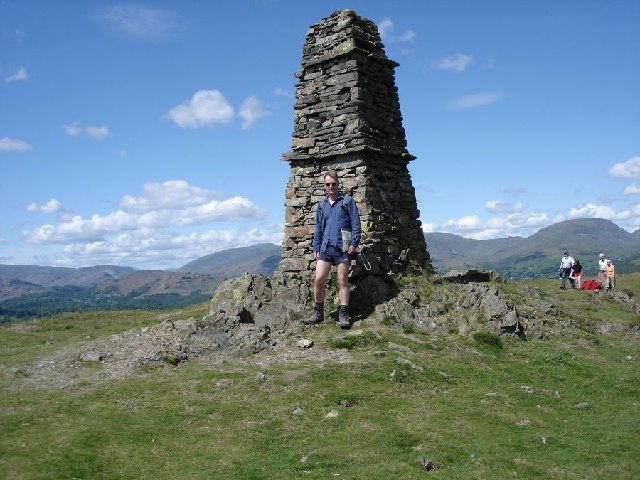
Latterbarrow
Latterbarrow is a hill in the English Lake District, east of Hawkshead, Cumbria. It is the subject of a chapter of Wainwright's book The Outlying Fells...

Claife
Claife is a civil parish in the South Lakeland district of Cumbria, England. It is situated west of Windermere, and east of Esthwaite Water and the village...

Blelham Tarn
Blelham Tarn is a large valley tarn in the Lake District of England, to the north of the hill Latterbarrow. The settlements of Outgate, Low Wray and High...

Claife Heights
Claife Heights is an upland area in the Lake District, near to Windermere in Cumbria, England. It has a topographic prominence of 177 metres (581 ft) so...
Nearby Amenities
Located within 500m of 54.382933,-2.9641461Have you been to Katy Intake Plantation?
Leave your review of Katy Intake Plantation below (or comments, questions and feedback).