Beyondfields Fell
Wood, Forest in Lancashire South Lakeland
England
Beyondfields Fell
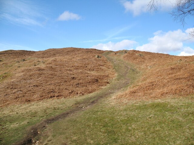
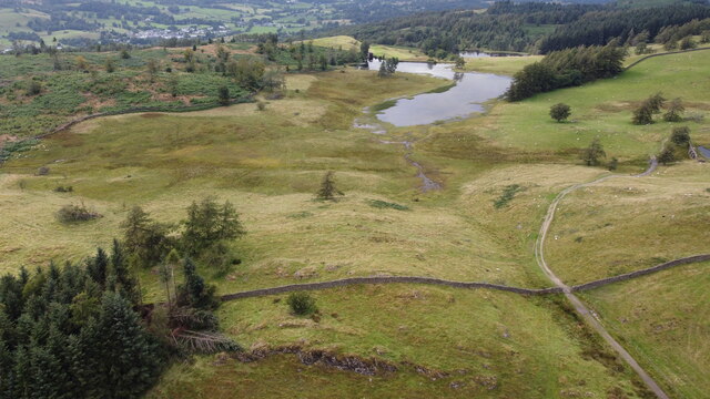
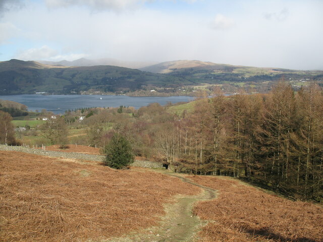
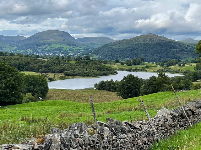
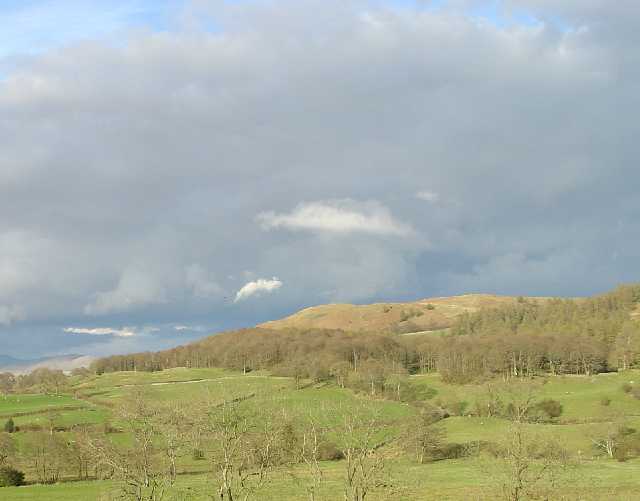
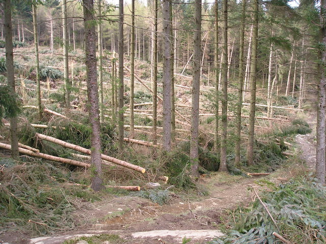
Beyondfields Fell is a picturesque woodland area located in the county of Lancashire, England. Spread across a vast expanse, it is a popular destination for nature enthusiasts and outdoor adventurers alike. The area is characterized by its dense forest cover, rolling hills, and tranquil atmosphere.
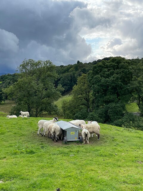
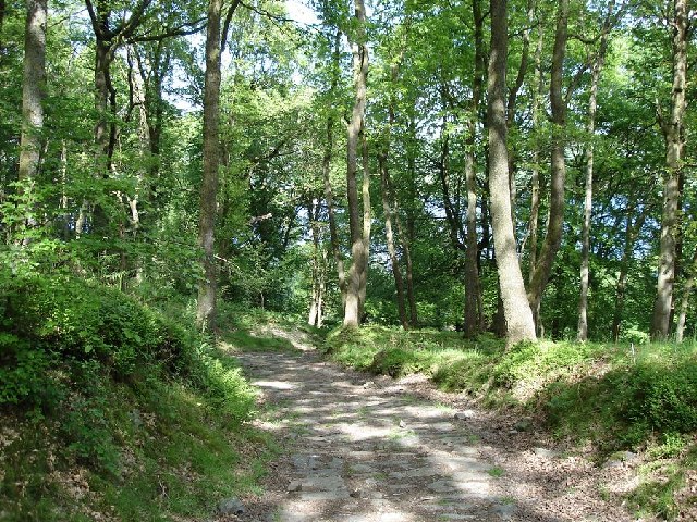
The woodland of Beyondfields Fell is home to a diverse range of flora and fauna, making it a haven for wildlife. Towering trees, such as oak, beech, and ash, dominate the landscape, providing a dense canopy that filters sunlight and creates a serene ambiance. Underneath the forest canopy, an array of shrubs, ferns, and wildflowers flourish, adding to the overall beauty of the area.
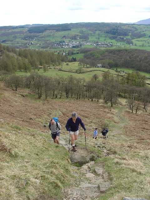
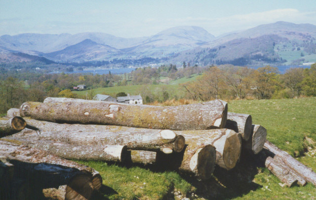
Several walking trails crisscross the woodland, offering visitors the opportunity to explore its natural wonders. Walking through Beyondfields Fell, one can witness breathtaking views of the surrounding countryside, with glimpses of meandering streams and picturesque valleys.
Beyondfields Fell also holds historical significance, with remnants of ancient settlements and structures scattered throughout the area. These archaeological sites provide insights into the rich history of the region, adding an additional layer of intrigue to the woodland.
The woodland is easily accessible, with well-maintained paths and parking facilities available for visitors. Beyondfields Fell offers a peaceful retreat from the hustle and bustle of everyday life, where one can reconnect with nature and enjoy the tranquility of the Lancashire countryside.
If you have any feedback on the listing, please let us know in the comments section below.
Beyondfields Fell Images
Images are sourced within 2km of 54.386103/-2.9587847 or Grid Reference SD3799. Thanks to Geograph Open Source API. All images are credited.


Beyondfields Fell is located at Grid Ref: SD3799 (Lat: 54.386103, Lng: -2.9587847)
Administrative County: Cumbria
District: South Lakeland
Police Authority: Cumbria
What 3 Words
///pickup.infuses.geology. Near Windermere, Cumbria
Nearby Locations
Related Wikis

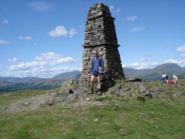
Latterbarrow
Latterbarrow is a hill in the English Lake District, east of Hawkshead, Cumbria. It is the subject of a chapter of Wainwright's book The Outlying Fells...

RMS Wray Castle
RMS Wray Castle was a training college for Merchant Navy radio officers based at Wray Castle in the Lake District, from 1958 to 1998.At 11:40 p.m., on...

Blelham Tarn
Blelham Tarn is a large valley tarn in the Lake District of England, to the north of the hill Latterbarrow. The settlements of Outgate, Low Wray and High...
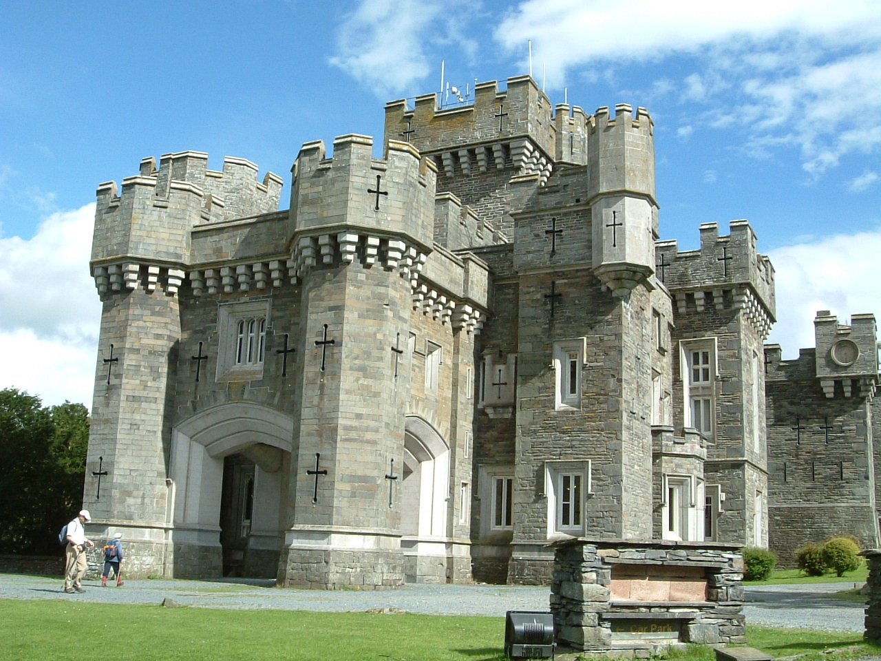
Wray Castle
Wray Castle is a Victorian neo-gothic building at Claife in Cumbria within the boundaries of the historic county of Lancashire. The house and grounds have...

Claife
Claife is a civil parish in the South Lakeland district of Cumbria, England. It is situated west of Windermere, and east of Esthwaite Water and the village...

Brockhole
The Brockhole Lake District Visitor Centre, also known as the Brockhole National Park Visitor Centre, is a visitor centre and tourist attraction managed...

Claife Heights
Claife Heights is an upland area in the Lake District, near to Windermere in Cumbria, England. It has a topographic prominence of 177 metres (581 ft) so...

Langdale Chase
Langdale Chase, Windermere is a house of historical significance and is listed on the English heritage register. It consists of six acres of landscaped...
Nearby Amenities
Located within 500m of 54.386103,-2.9587847Have you been to Beyondfields Fell?
Leave your review of Beyondfields Fell below (or comments, questions and feedback).