Charmouth Mead Plantation
Wood, Forest in Dorset
England
Charmouth Mead Plantation
Charmouth Mead Plantation is a picturesque woodland located in the county of Dorset, England. It is situated near the village of Charmouth, just a few miles east of the famous Jurassic Coastline. The plantation covers an area of approximately 50 hectares and is managed by the Forestry Commission.
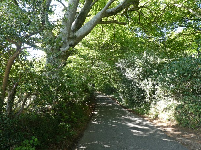
The woodland is predominantly composed of deciduous trees, with a variety of species including oak, beech, and ash. These mature trees provide an enchanting canopy, offering shade and shelter to the diverse flora and fauna that call the plantation home. Bluebells, wild garlic, and foxgloves are among the many wildflowers that carpet the forest floor during springtime, creating a vibrant and colorful display.
Charmouth Mead Plantation is a haven for wildlife enthusiasts, as it provides a habitat for a range of animal species. Birdwatchers can spot woodpeckers, nuthatches, and tawny owls, while mammal enthusiasts may catch a glimpse of roe deer or even the elusive badger. The woodland is also home to a variety of insects and invertebrates, contributing to its ecological importance.
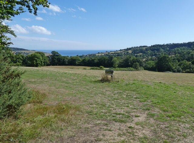
Visitors to the plantation can enjoy a network of well-maintained footpaths and trails, which offer pleasant walks through the woodland. These paths provide access to various viewpoints, allowing visitors to admire the stunning panoramic views of the surrounding countryside.
Charmouth Mead Plantation is a tranquil and serene location, perfect for those seeking a peaceful escape into nature. Its natural beauty, combined with its accessibility and diverse wildlife, make it a popular destination for both locals and tourists alike.
If you have any feedback on the listing, please let us know in the comments section below.
Charmouth Mead Plantation Images
Images are sourced within 2km of 50.745396/-2.9032933 or Grid Reference SY3694. Thanks to Geograph Open Source API. All images are credited.
Charmouth Mead Plantation is located at Grid Ref: SY3694 (Lat: 50.745396, Lng: -2.9032933)
Unitary Authority: Dorset
Police Authority: Dorset
What 3 Words
///prefect.helm.footpath. Near Charmouth, Dorset
Related Wikis

St Mary's Church, Catherston Leweston
St Mary's Church is a Church of England parish church in Catherston Leweston, Dorset, England. It was designed by John Loughborough Pearson and built in...

Catherston Leweston
Catherston Leweston is a small village and civil parish in the county of Dorset in southwest England. It lies approximately 2 miles (3.2 km) northeast...
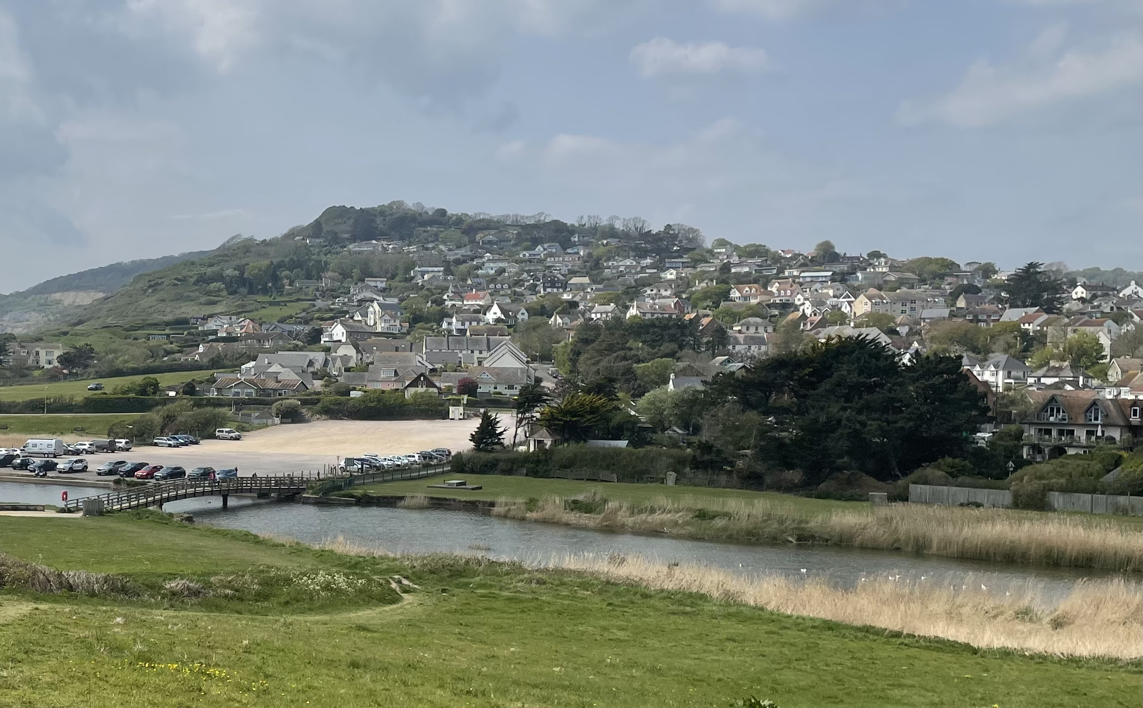
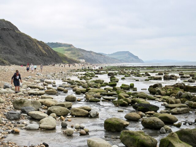
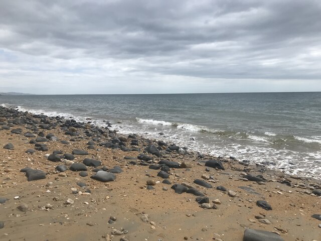
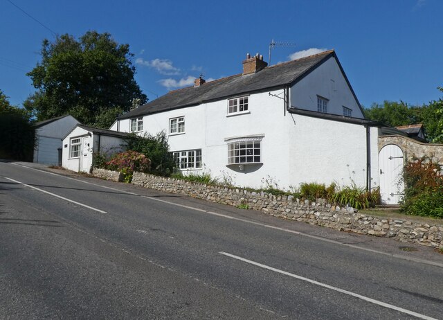
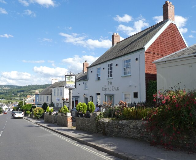
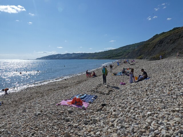
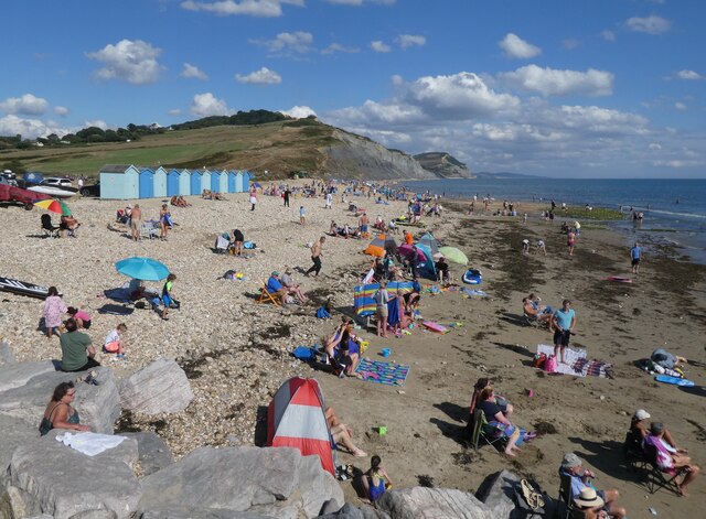
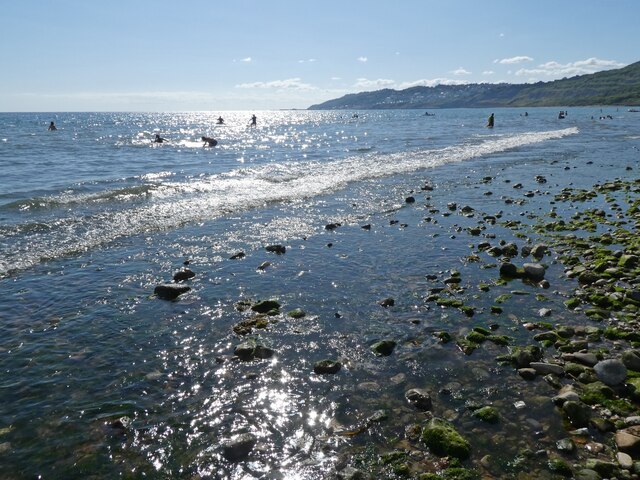
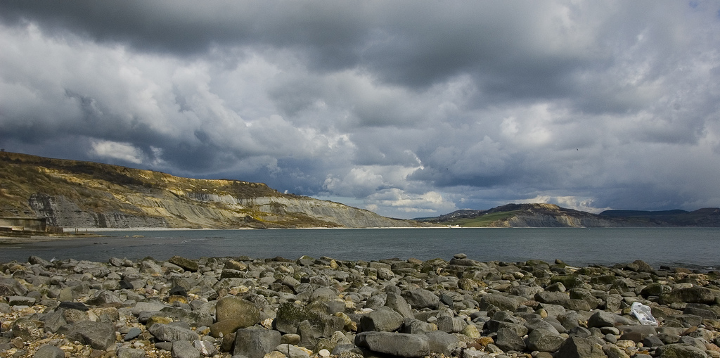
Charmouth
Charmouth is a village and civil parish in west Dorset, England. The village is situated on the mouth of the River Char, around 1+1⁄2 miles (2 km) north...
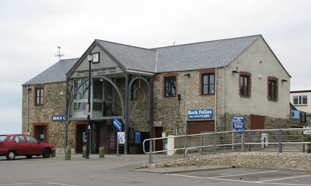
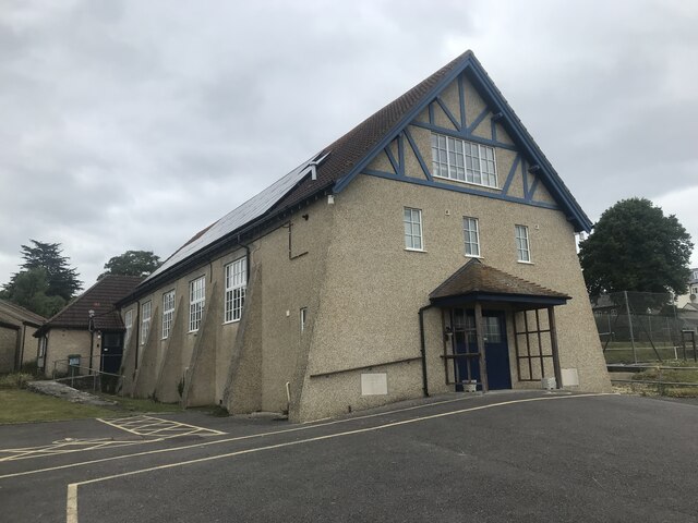
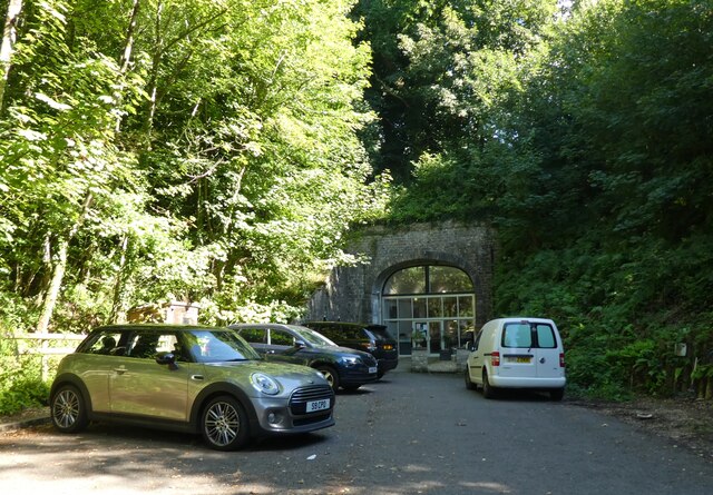
Charmouth Heritage Coast Centre
The Charmouth Heritage Coast Centre is based in the upstairs floor of a long-disused cement factory on the foreshore of Charmouth in Dorset, England. The...
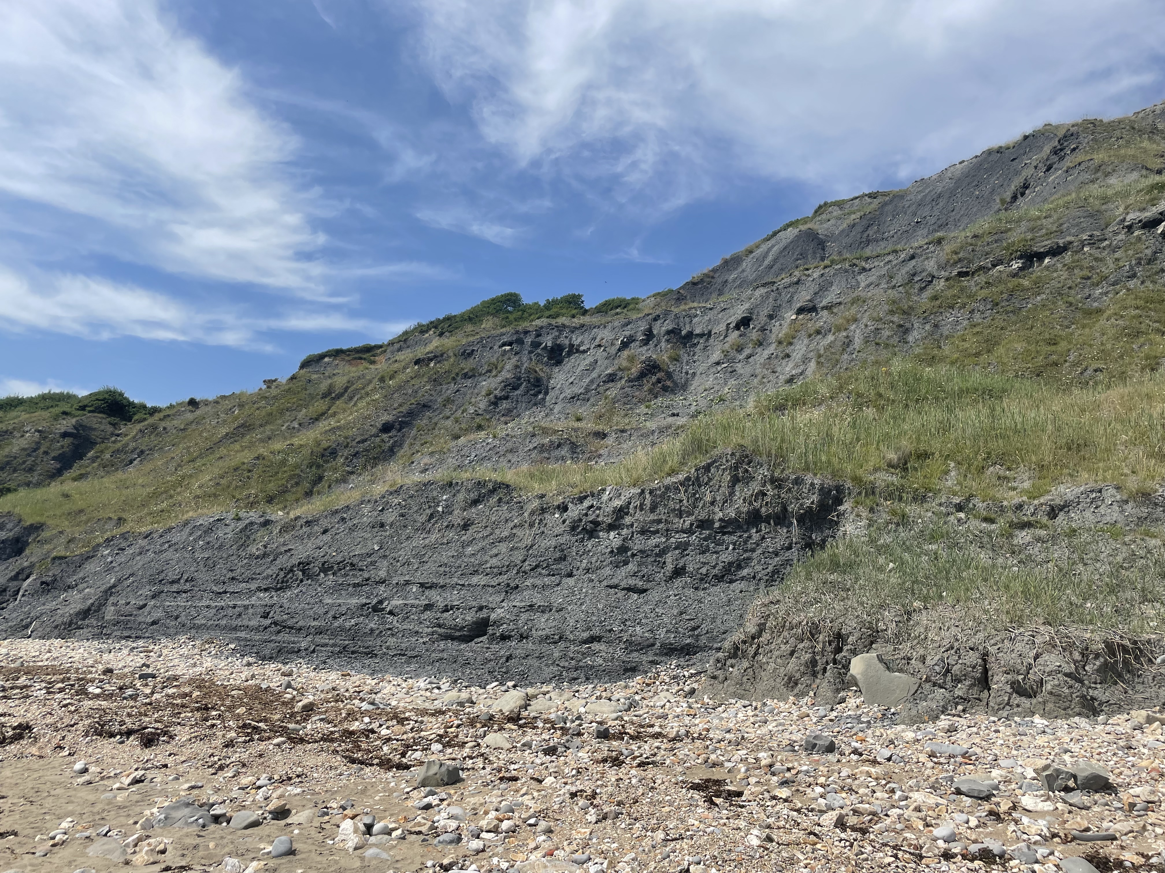
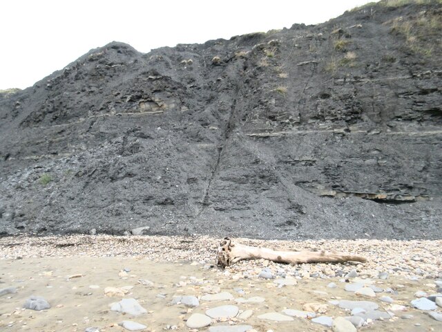
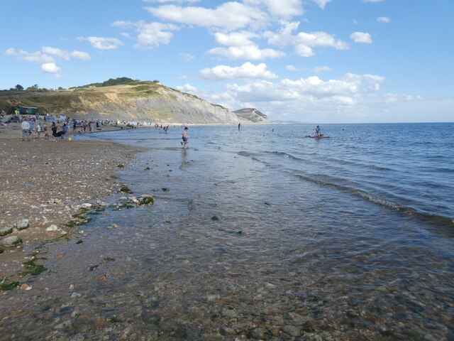
Black Ven
Black Ven is a cliff in Dorset, England between the towns of Charmouth and Lyme Regis. The cliffs reach a height of 130 metres (430 ft). It is part of...

Wootton Fitzpaine
Wootton Fitzpaine is a village and civil parish in the county of Dorset in South West England. It lies approximately 3 miles (4.8 km) north-east of Lyme...
The Spittles
The Spittles is an area of coastal cliff in the county of Dorset on the south coast of England. It is situated between the settlements of Lyme Regis to...

River Char
The River Char is a river in Dorset. The Char runs a few miles from Bettiscombe to Charmouth, passing Pilsdon and Whitchurch Canonicorum.
Nearby Amenities
Located within 500m of 50.745396,-2.9032933Have you been to Charmouth Mead Plantation?
Leave your review of Charmouth Mead Plantation below (or comments, questions and feedback).