Channel Stall Coppice
Wood, Forest in Dorset
England
Channel Stall Coppice
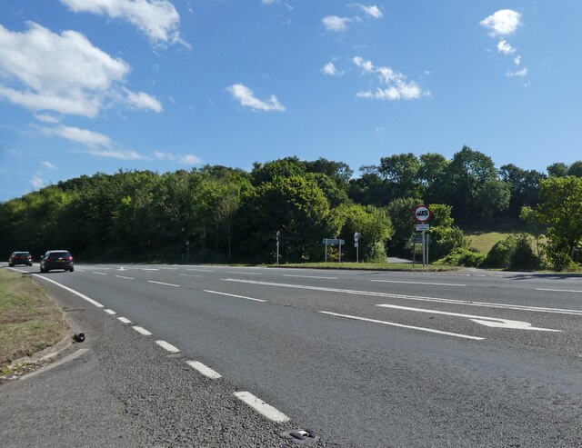
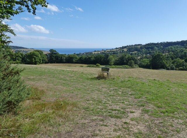
Located in the county of Dorset in southern England, Channel Stall Coppice is a picturesque woodland area known for its natural beauty and ecological significance. Covering an area of approximately 50 hectares, this ancient woodland is situated within the Cranborne Chase and West Wiltshire Downs Area of Outstanding Natural Beauty.
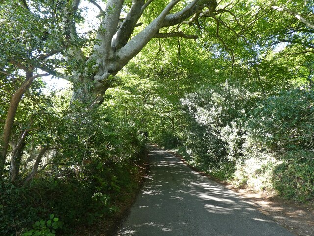
Channel Stall Coppice is characterized by its diverse range of tree species, including oak, beech, ash, and hazel. The woodland floor is also abundant with a variety of flora, such as bluebells, primroses, and wild garlic, creating a vibrant and colorful landscape during the spring and summer months.
The coppice, which refers to the traditional method of woodland management involving the periodic cutting of trees to encourage regrowth, has been practiced in Channel Stall Coppice for centuries. This sustainable management technique promotes a healthy and thriving ecosystem, supporting a wide array of wildlife. Visitors to the woodland may spot deer, badgers, foxes, and numerous bird species, making it a haven for nature enthusiasts and wildlife photographers.
The woodland is crisscrossed by several footpaths and trails, providing opportunities for leisurely walks, hikes, and nature exploration. Additionally, there are picnic areas and benches scattered throughout the coppice, allowing visitors to relax and enjoy the tranquil surroundings. Channel Stall Coppice is also a popular destination for educational and research purposes, with its rich biodiversity and historical significance attracting scholars and scientists alike.
Overall, Channel Stall Coppice in Dorset offers a serene and captivating experience for nature lovers, combining stunning scenery, peaceful ambience, and a wealth of wildlife.
If you have any feedback on the listing, please let us know in the comments section below.
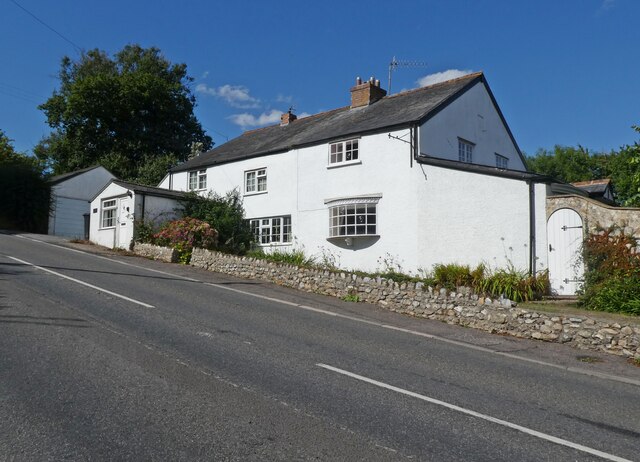
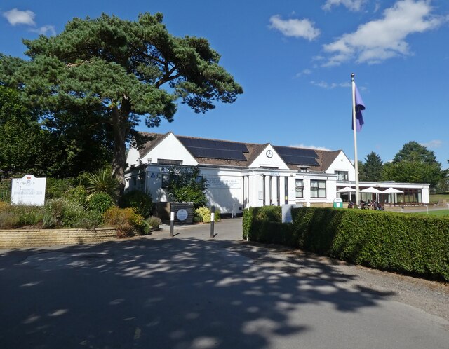
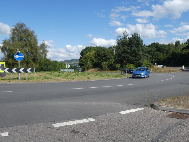
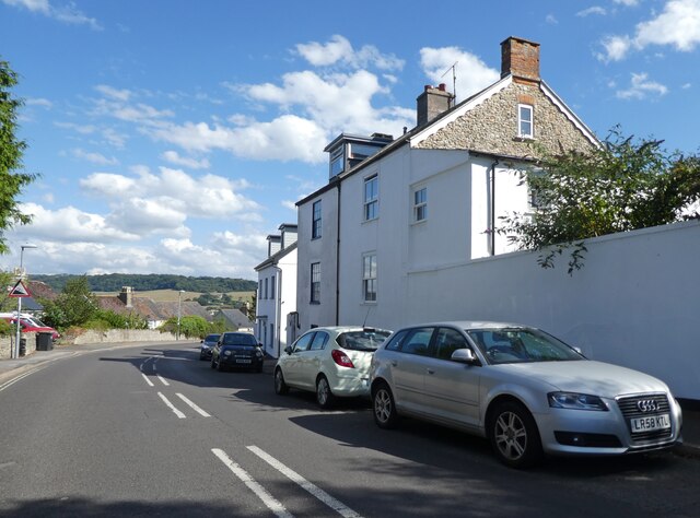
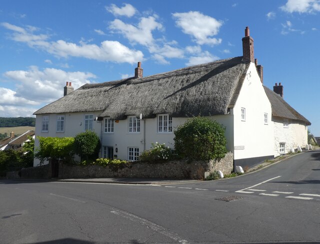
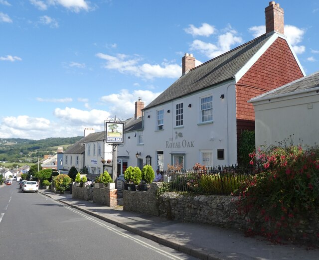
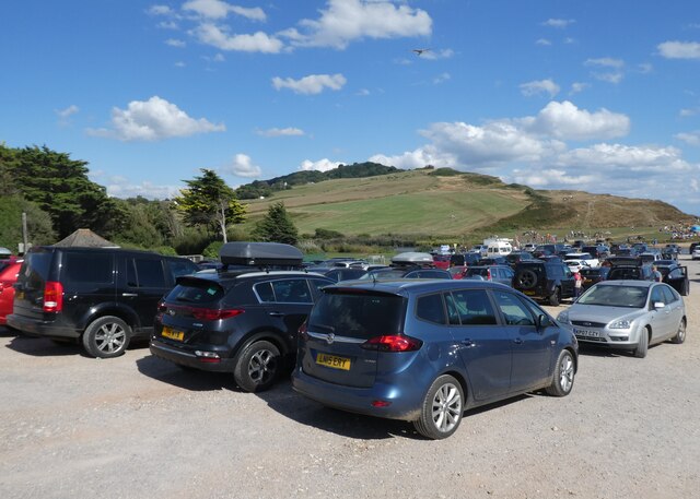
Channel Stall Coppice Images
Images are sourced within 2km of 50.744961/-2.9083307 or Grid Reference SY3694. Thanks to Geograph Open Source API. All images are credited.
Channel Stall Coppice is located at Grid Ref: SY3694 (Lat: 50.744961, Lng: -2.9083307)
Unitary Authority: Dorset
Police Authority: Dorset
What 3 Words
///registry.panoramic.confined. Near Charmouth, Dorset
Related Wikis

St Mary's Church, Catherston Leweston
St Mary's Church is a Church of England parish church in Catherston Leweston, Dorset, England. It was designed by John Loughborough Pearson and built in...

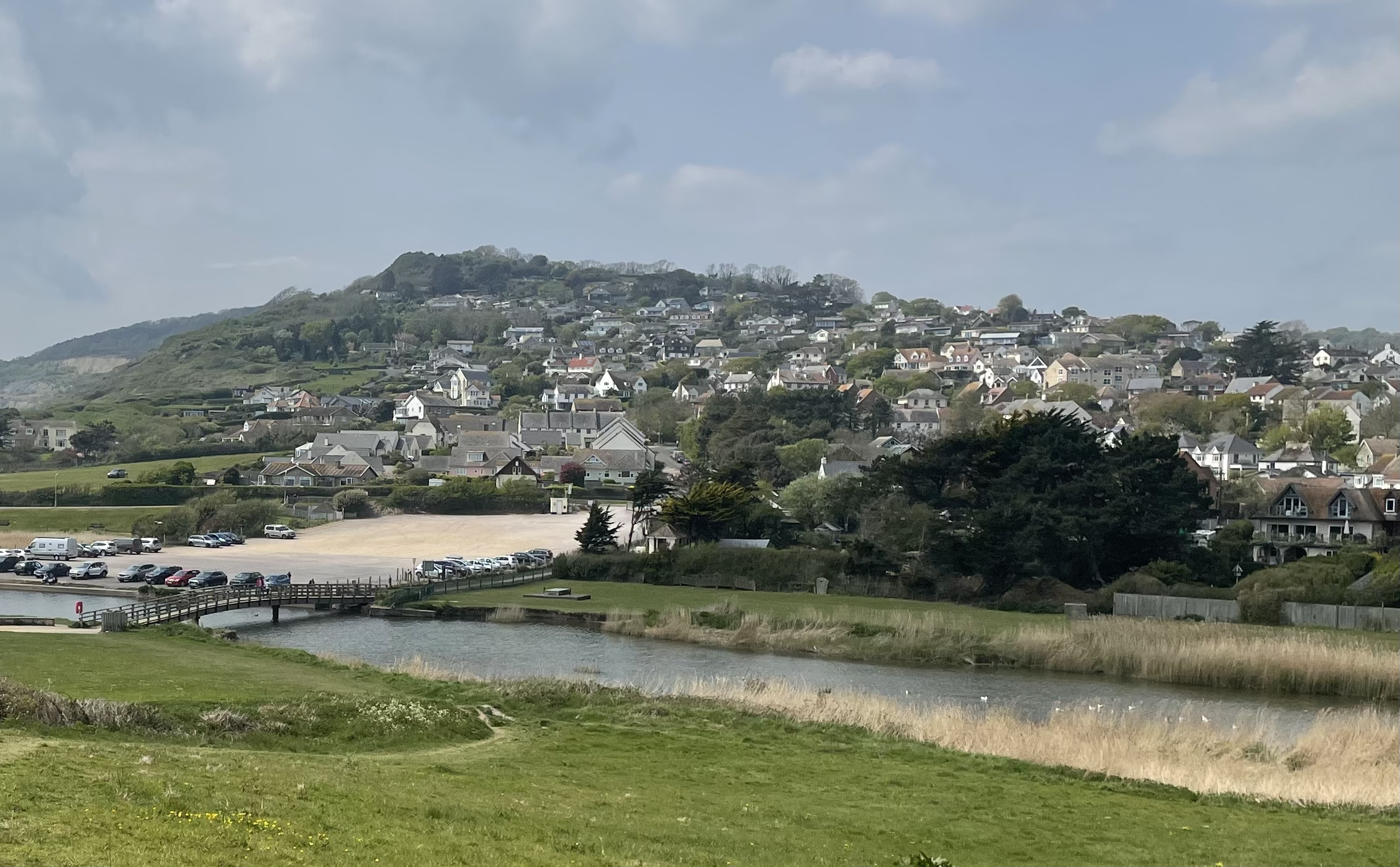
Catherston Leweston
Catherston Leweston is a small village and civil parish in the county of Dorset in southwest England. It lies approximately 2 miles (3.2 km) northeast...
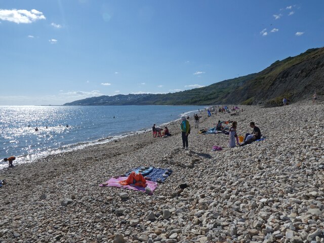
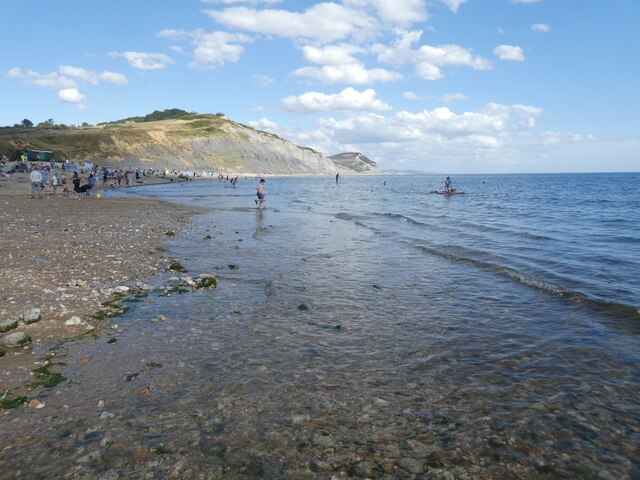
Charmouth
Charmouth is a village and civil parish in west Dorset, England. The village is situated on the mouth of the River Char, around 1+1⁄2 miles (2 km) north...
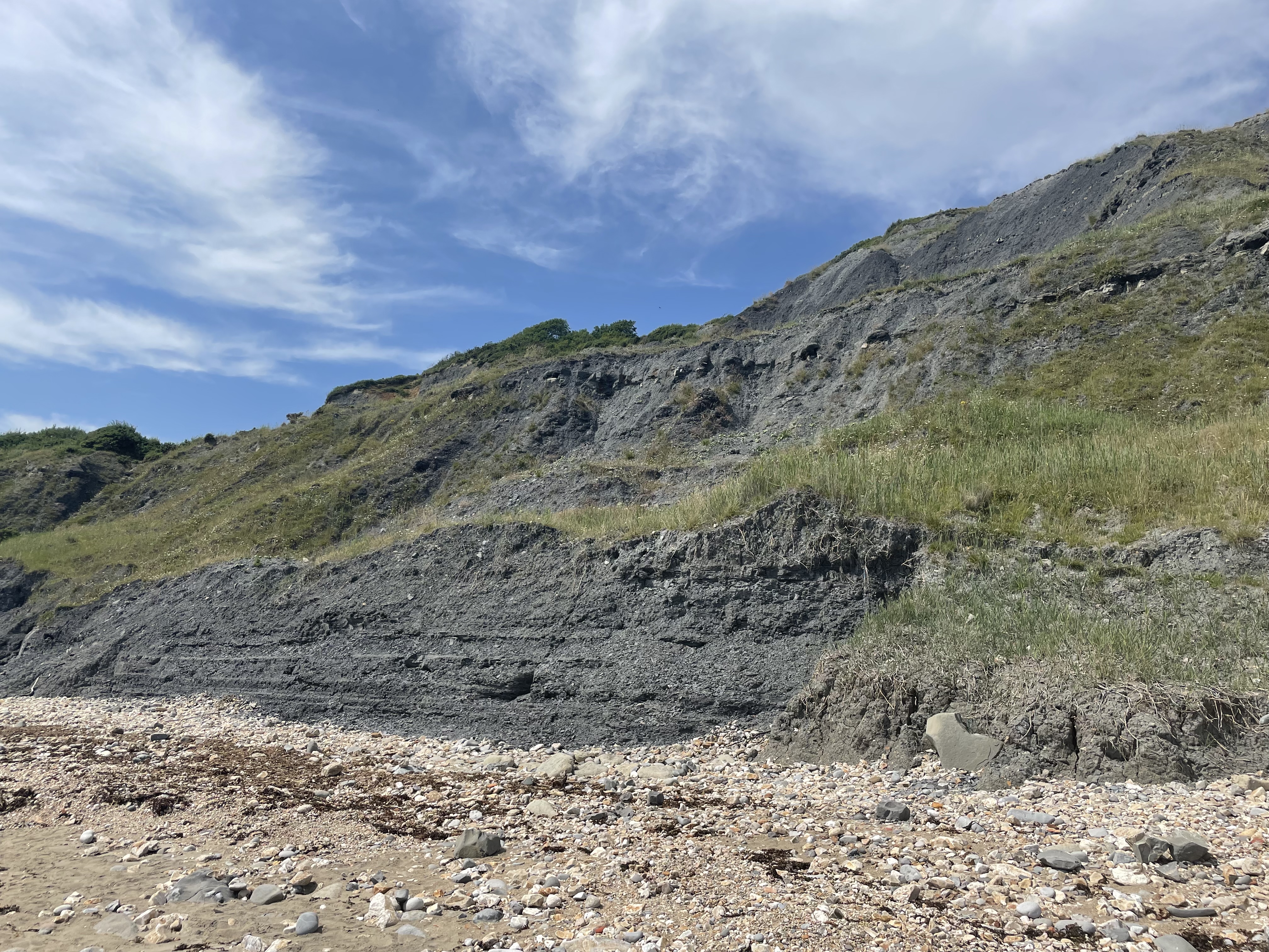
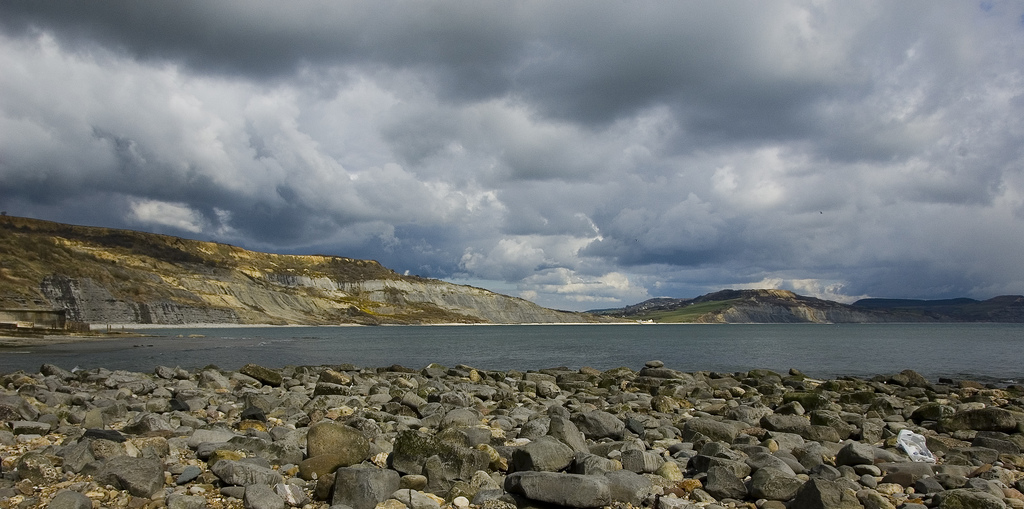
Black Ven
Black Ven is a cliff in Dorset, England between the towns of Charmouth and Lyme Regis. The cliffs reach a height of 130 metres (430 ft). It is part of...
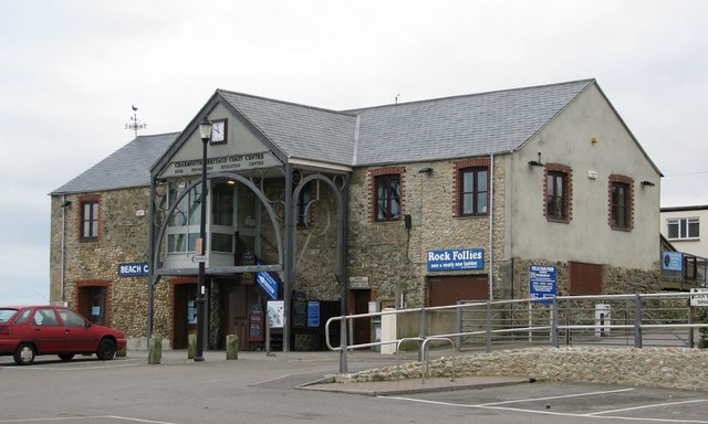
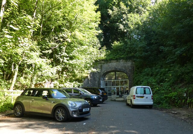
Charmouth Heritage Coast Centre
The Charmouth Heritage Coast Centre is based in the upstairs floor of a long-disused cement factory on the foreshore of Charmouth in Dorset, England. The...
The Spittles
The Spittles is an area of coastal cliff in the county of Dorset on the south coast of England. It is situated between the settlements of Lyme Regis to...

Wootton Fitzpaine
Wootton Fitzpaine is a village and civil parish in the county of Dorset in South West England. It lies approximately 3 miles (4.8 km) north-east of Lyme...

River Char
The River Char is a river in Dorset. The Char runs a few miles from Bettiscombe to Charmouth, passing Pilsdon and Whitchurch Canonicorum.
Nearby Amenities
Located within 500m of 50.744961,-2.9083307Have you been to Channel Stall Coppice?
Leave your review of Channel Stall Coppice below (or comments, questions and feedback).