Nutcombe Coppice
Wood, Forest in Dorset
England
Nutcombe Coppice
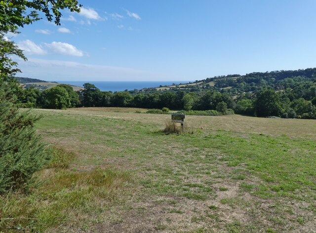
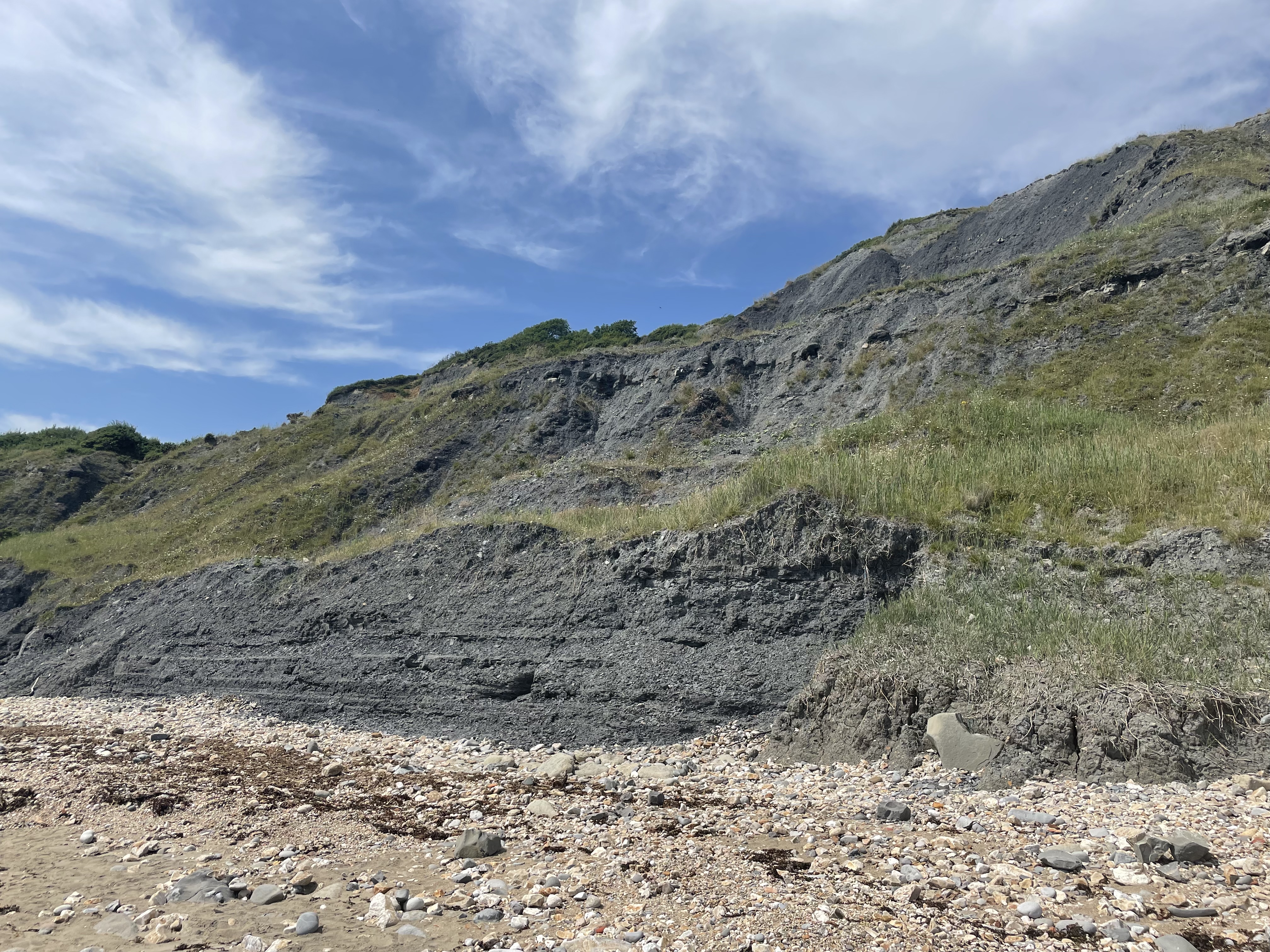
Nutcombe Coppice is a beautiful woodland located in Dorset, England. Covering an area of approximately 50 hectares, it is a popular destination for nature enthusiasts and hikers alike. The coppice is situated on a gentle slope, offering stunning views of the surrounding countryside.
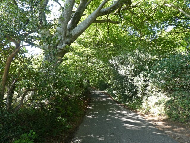
The woodland is predominantly made up of broadleaf trees, including oak, beech, and ash. These ancient trees provide a rich canopy that offers shade and shelter to a diverse range of flora and fauna. In spring, the forest floor comes alive with a vibrant display of bluebells and wildflowers, creating a picturesque scene.
Nutcombe Coppice is home to a variety of wildlife species. Squirrels can be spotted darting between the branches, while woodpeckers tap away at the tree trunks. It is also a haven for birdwatchers, with species such as the great spotted woodpecker, tawny owl, and nuthatch making their homes here.
There are several well-maintained trails that wind their way through the woodland, catering to both casual strollers and more adventurous hikers. These paths lead visitors through a variety of habitats, including open glades, dense thickets, and babbling brooks. Along the way, there are benches and picnic spots where visitors can rest and take in the peaceful surroundings.
Nutcombe Coppice is managed by the local council, who work to preserve its natural beauty and protect its diverse ecosystem. The woodland is open to the public year-round, allowing visitors to immerse themselves in the tranquility of nature and enjoy the wonders of this enchanting forest.
If you have any feedback on the listing, please let us know in the comments section below.
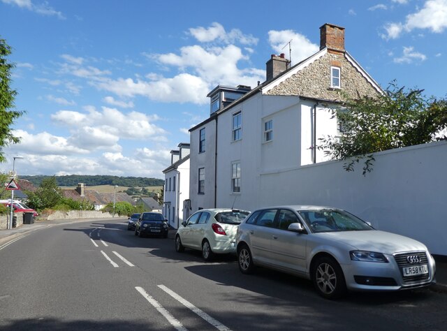
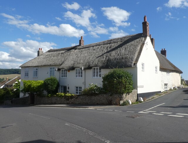
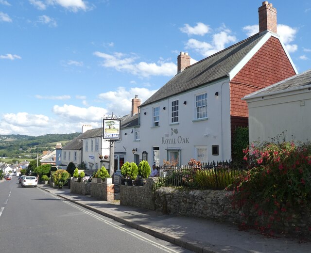
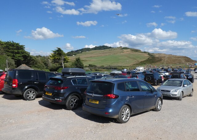
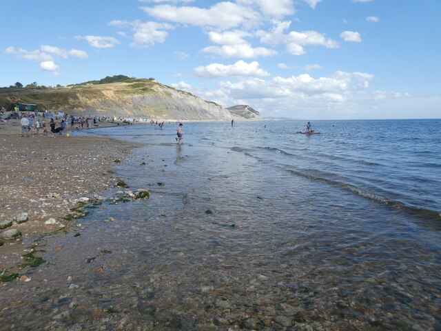
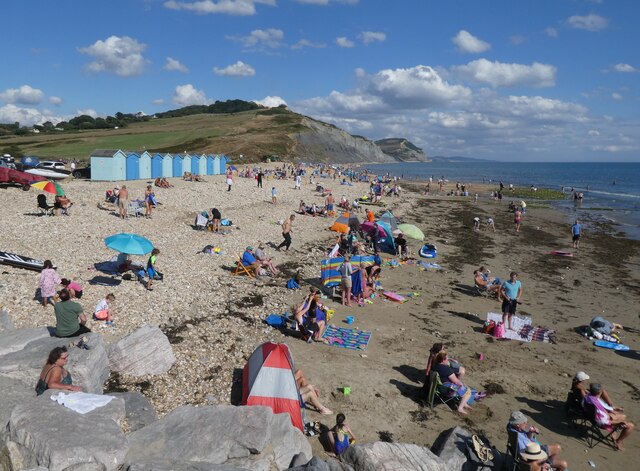
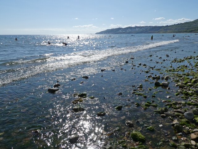
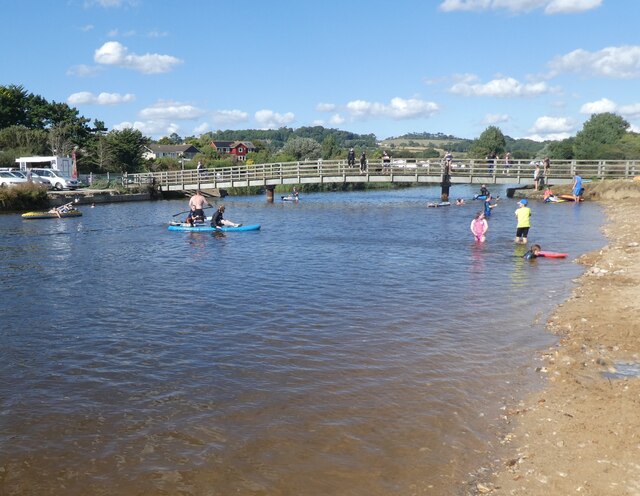
Nutcombe Coppice Images
Images are sourced within 2km of 50.747828/-2.8945945 or Grid Reference SY3694. Thanks to Geograph Open Source API. All images are credited.
Nutcombe Coppice is located at Grid Ref: SY3694 (Lat: 50.747828, Lng: -2.8945945)
Unitary Authority: Dorset
Police Authority: Dorset
What 3 Words
///producers.science.toffee. Near Charmouth, Dorset
Related Wikis

Catherston Leweston
Catherston Leweston is a small village and civil parish in the county of Dorset in southwest England. It lies approximately 2 miles (3.2 km) northeast...

St Mary's Church, Catherston Leweston
St Mary's Church is a Church of England parish church in Catherston Leweston, Dorset, England. It was designed by John Loughborough Pearson and built in...

Wootton Fitzpaine
Wootton Fitzpaine is a village and civil parish in the county of Dorset in South West England. It lies approximately 3 miles (4.8 km) north-east of Lyme...
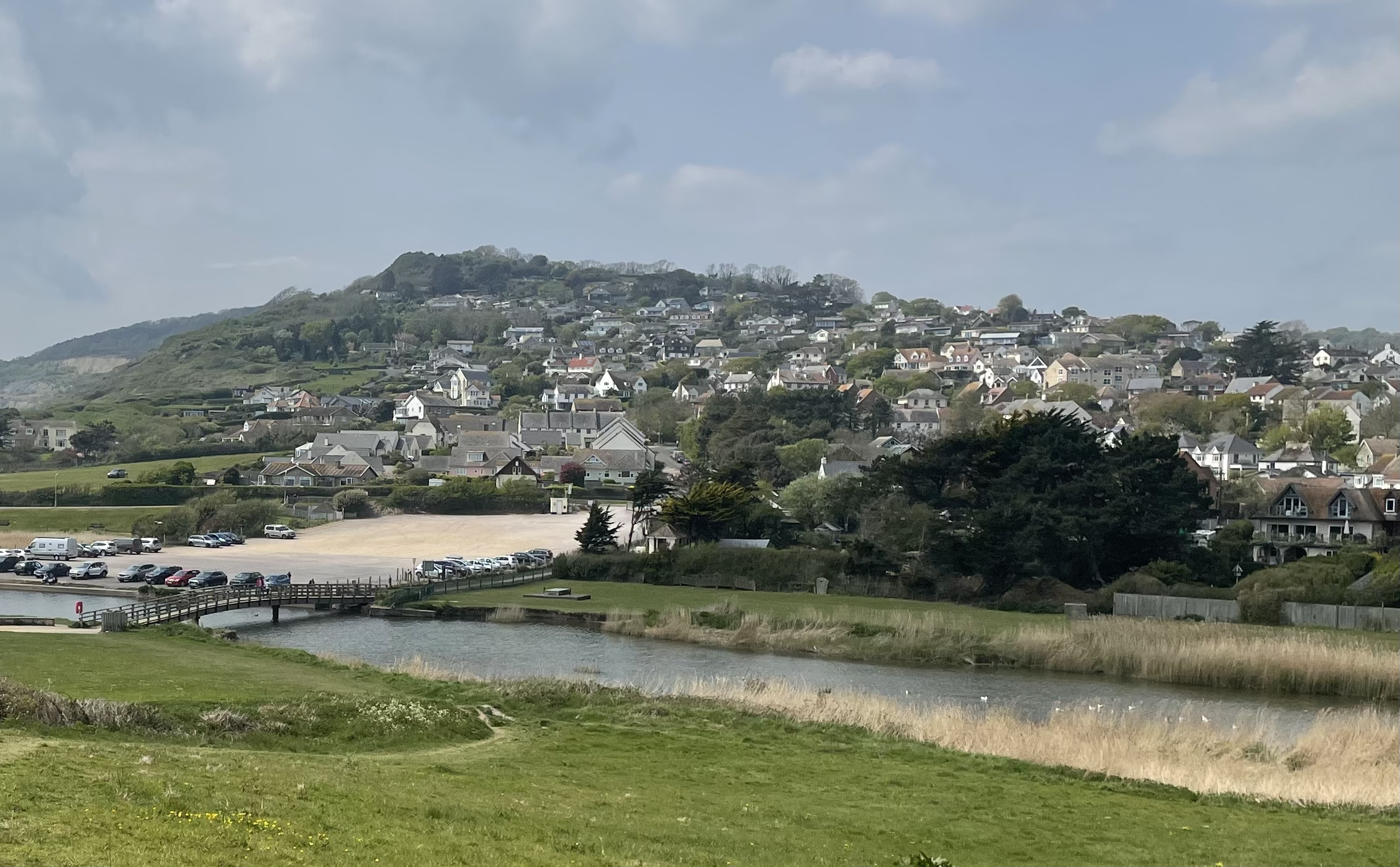
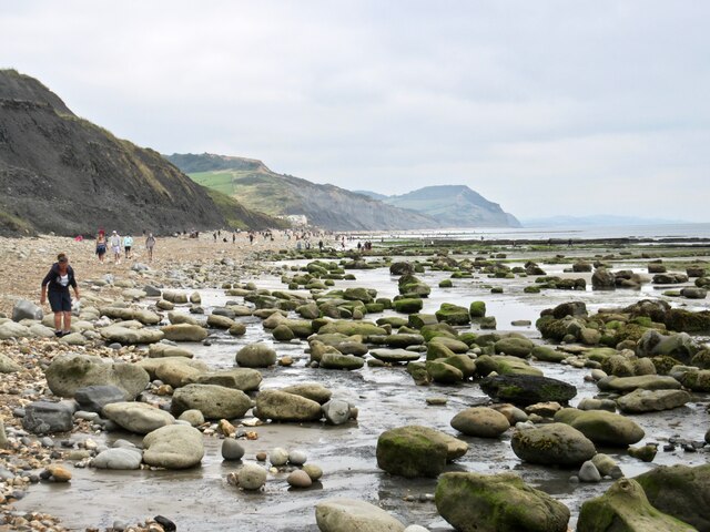
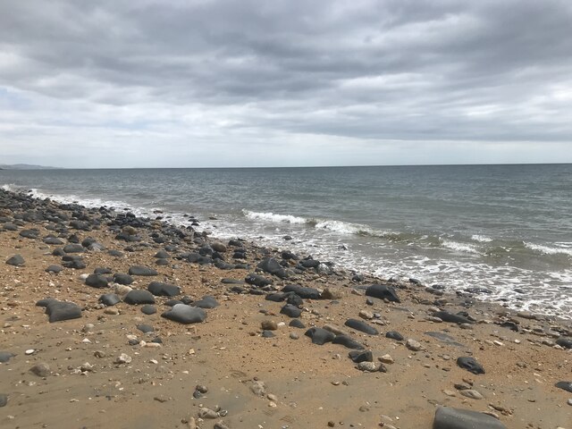
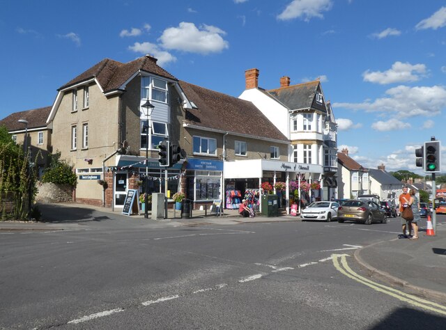
Charmouth
Charmouth is a village and civil parish in west Dorset, England. The village is situated on the mouth of the River Char, around 1+1⁄2 miles (2 km) north...
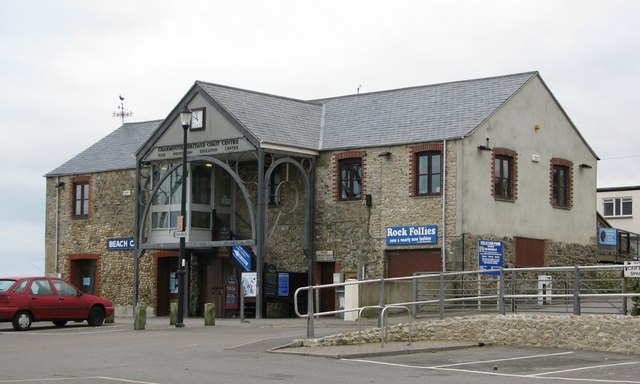
Charmouth Heritage Coast Centre
The Charmouth Heritage Coast Centre is based in the upstairs floor of a long-disused cement factory on the foreshore of Charmouth in Dorset, England. The...

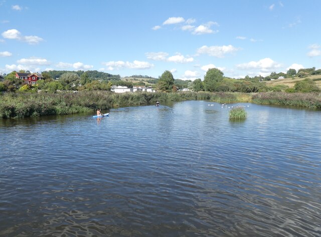
River Char
The River Char is a river in Dorset. The Char runs a few miles from Bettiscombe to Charmouth, passing Pilsdon and Whitchurch Canonicorum.

Stonebarrow Hill
Stonebarrow Hill is a hill, east of Charmouth, near the Dorset coast in southern England. It has a height of 148 metres (486 ft) and forms the west-southwestern...
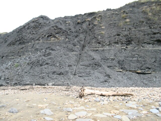
Black Ven
Black Ven is a cliff in Dorset, England between the towns of Charmouth and Lyme Regis. The cliffs reach a height of 130 metres (430 ft). It is part of...
Nearby Amenities
Located within 500m of 50.747828,-2.8945945Have you been to Nutcombe Coppice?
Leave your review of Nutcombe Coppice below (or comments, questions and feedback).