Parrock Fold Wood
Wood, Forest in Lancashire South Lakeland
England
Parrock Fold Wood

Parrock Fold Wood is a captivating forest located in the county of Lancashire, England. Enveloped by natural beauty, this woodland is a haven for nature enthusiasts and adventure seekers alike. Stretching across a vast expanse, Parrock Fold Wood boasts an area of approximately 200 acres, offering plenty of space for exploration and tranquility.
The forest is known for its diverse range of tree species, including oak, ash, beech, and birch. These towering trees create a dense canopy that provides a cool and shaded atmosphere, even in the warmer months. The woodland floor is adorned with an array of native wildflowers, adding bursts of color to the landscape.
The wood is also home to a variety of wildlife, making it a popular spot for birdwatching and animal spotting. Visitors may have the chance to glimpse creatures such as deer, foxes, rabbits, and a multitude of bird species.
For outdoor enthusiasts, Parrock Fold Wood offers a network of well-maintained trails and footpaths, providing an opportunity to experience the beauty of the forest up close. These trails cater to all levels of fitness and are suitable for leisurely walks, jogging, or even cycling.
In addition to its natural wonders, the woodland offers a peaceful and serene atmosphere, making it an ideal location for relaxation and mindfulness. The tranquil ambiance, combined with the soothing sounds of nature, provides a much-needed escape from the hustle and bustle of everyday life.
Parrock Fold Wood is a true gem in Lancashire, offering a serene and enchanting experience for nature lovers and outdoor enthusiasts alike.
If you have any feedback on the listing, please let us know in the comments section below.
Parrock Fold Wood Images
Images are sourced within 2km of 54.277539/-2.9693623 or Grid Reference SD3687. Thanks to Geograph Open Source API. All images are credited.


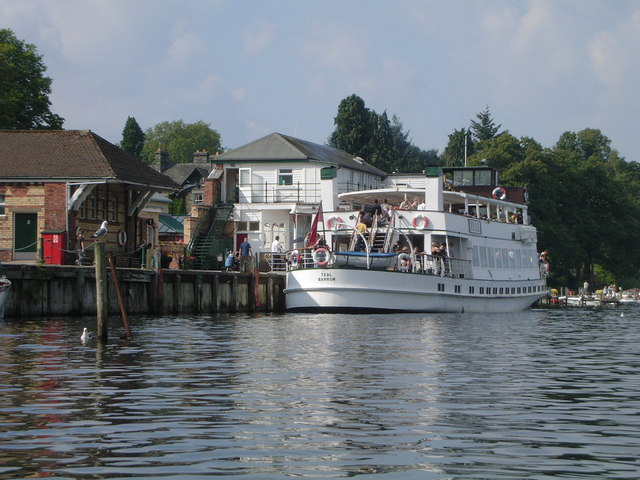
![Boat on the River Leven Heading upstream [locally north] towards Fell Foot and Lakeside.](https://s2.geograph.org.uk/geophotos/06/91/69/6916926_036d6930.jpg)


Parrock Fold Wood is located at Grid Ref: SD3687 (Lat: 54.277539, Lng: -2.9693623)
Administrative County: Cumbria
District: South Lakeland
Police Authority: Cumbria
What 3 Words
///traded.promoting.contacts. Near Grange-over-Sands, Cumbria
Related Wikis

St Peter's Church, Finsthwaite
St Peter's Church is in the village of Finsthwaite, Cumbria, England. It is an active Anglican parish church in the deanery of Windermere, the archdeaconry...
Finsthwaite
Finsthwaite is a small village in the South Lakeland district, in the county of Cumbria, England. It is located near the Furness Fells and Windermere....
Lakeside, Cumbria
Lakeside is a village in Newby Bridge at the south end of Windermere, England. Now in the county of Cumbria, before county reorganisation of 1974 it was...

Lakes Aquarium
The Lakes Aquarium is an aquarium in the village of Lakeside on the southern shore of Windermere, Cumbria, England. It is one of the docking points of...
Lakeside railway station (England)
Lakeside railway station is on the heritage Lakeside and Haverthwaite Railway in England. It was previously the terminus of the Furness Railway Ulverston...
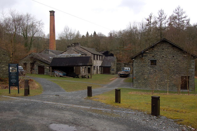
Stott Park Bobbin Mill
Stott Park Bobbin Mill is a 19th-century bobbin mill and now a working museum located near Newby Bridge, Cumbria, England. Built in 1835 the mill was one...

Newby Bridge Halt railway station
Newby Bridge Halt (also known, historically, as Newby Bridge Platform) is a railway station on the Lakeside and Haverthwaite heritage railway. It serves...
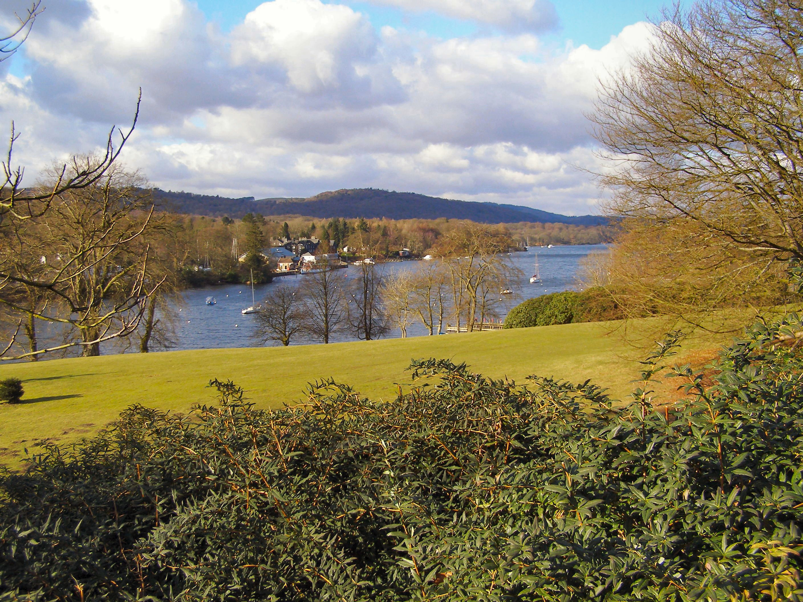
Fell Foot Park
Fell Foot Park is a country park situated at the southern end of Windermere in Cumbria, the largest lake in England. It is north of Newby Bridge in the...
Nearby Amenities
Located within 500m of 54.277539,-2.9693623Have you been to Parrock Fold Wood?
Leave your review of Parrock Fold Wood below (or comments, questions and feedback).