Ten Acre Coppice
Wood, Forest in Dorset
England
Ten Acre Coppice
Ten Acre Coppice is a picturesque woodland located in Dorset, England. Covering an area of approximately ten acres, the coppice is renowned for its natural beauty and diverse ecosystem. It is situated in a rural area, surrounded by rolling hills and fields, providing a tranquil and serene environment for visitors.
The coppice is predominantly made up of deciduous trees, including oak, beech, and birch, which create a dense canopy overhead. This canopy allows only dappled sunlight to filter through, creating a magical and atmospheric ambiance. The forest floor is covered with a variety of flora, such as bluebells, ferns, and wild garlic, adding bursts of color to the woodland.
Ten Acre Coppice is home to a wide range of wildlife, including birds, mammals, and insects. Visitors may spot woodpeckers, owls, and buzzards soaring above the treetops, while rabbits, squirrels, and deer can often be seen foraging among the undergrowth. The coppice also supports a diverse insect population, including butterflies, bees, and beetles, contributing to the overall biodiversity of the area.
The woodland is a popular destination for nature lovers, hikers, and photographers, who are drawn to its natural charm and tranquil atmosphere. Several well-marked trails wind through the coppice, allowing visitors to explore its beauty at their own pace. Whether it's a leisurely walk, birdwatching, or simply immersing oneself in nature, Ten Acre Coppice offers a peaceful retreat for all.
If you have any feedback on the listing, please let us know in the comments section below.
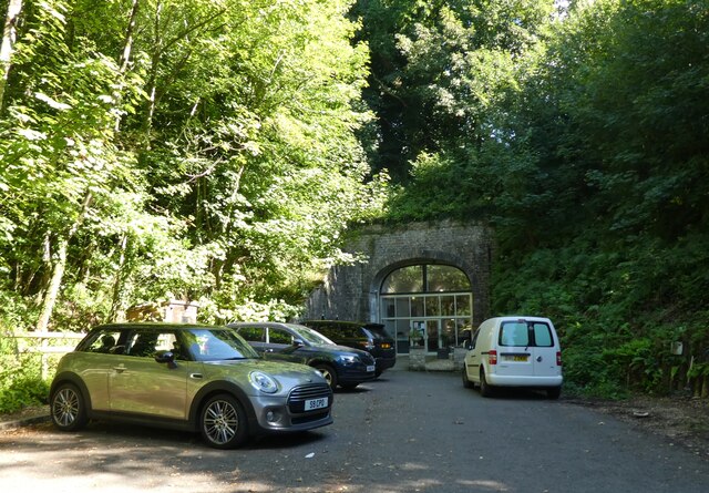
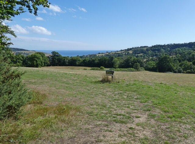
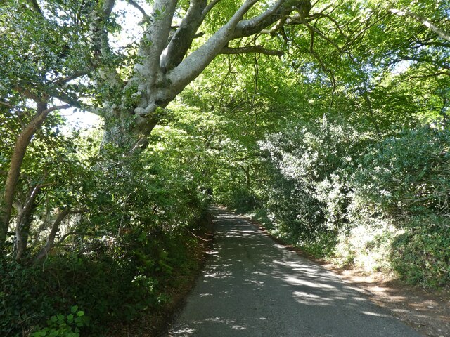
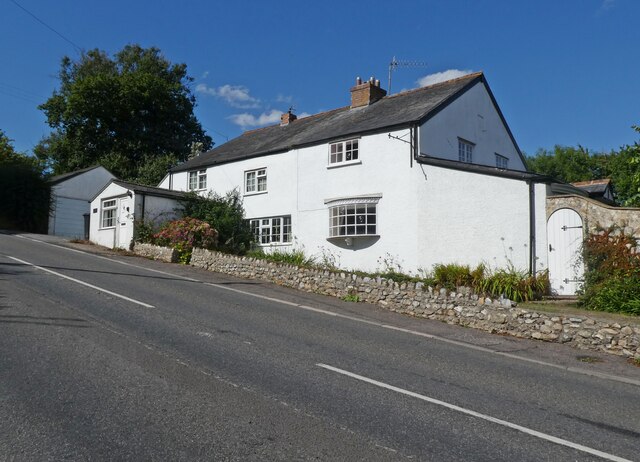
Ten Acre Coppice Images
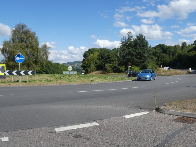
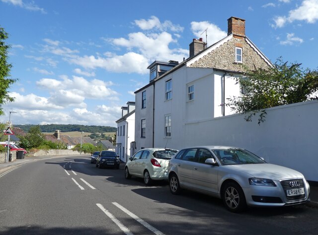
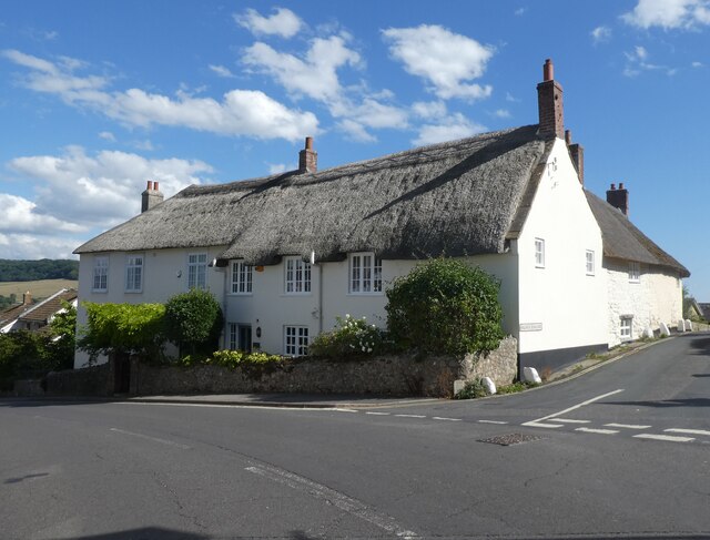
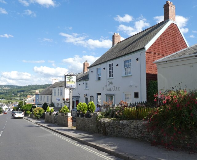
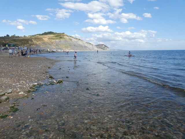
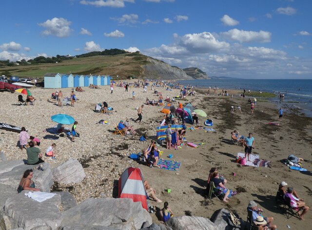
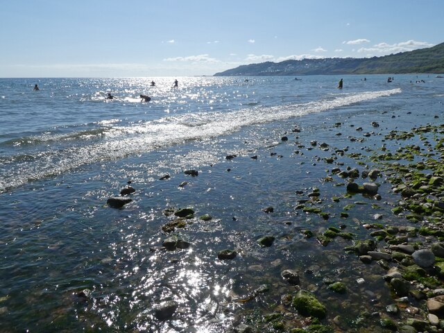
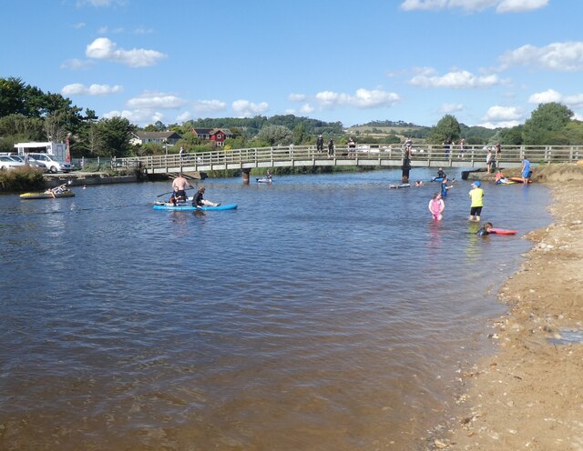
Images are sourced within 2km of 50.747615/-2.9035912 or Grid Reference SY3694. Thanks to Geograph Open Source API. All images are credited.

Ten Acre Coppice is located at Grid Ref: SY3694 (Lat: 50.747615, Lng: -2.9035912)
Unitary Authority: Dorset
Police Authority: Dorset
What 3 Words
///dorm.bloomers.giggled. Near Charmouth, Dorset
Related Wikis

Catherston Leweston
Catherston Leweston is a small village and civil parish in the county of Dorset in southwest England. It lies approximately 2 miles (3.2 km) northeast...

St Mary's Church, Catherston Leweston
St Mary's Church is a Church of England parish church in Catherston Leweston, Dorset, England. It was designed by John Loughborough Pearson and built in...
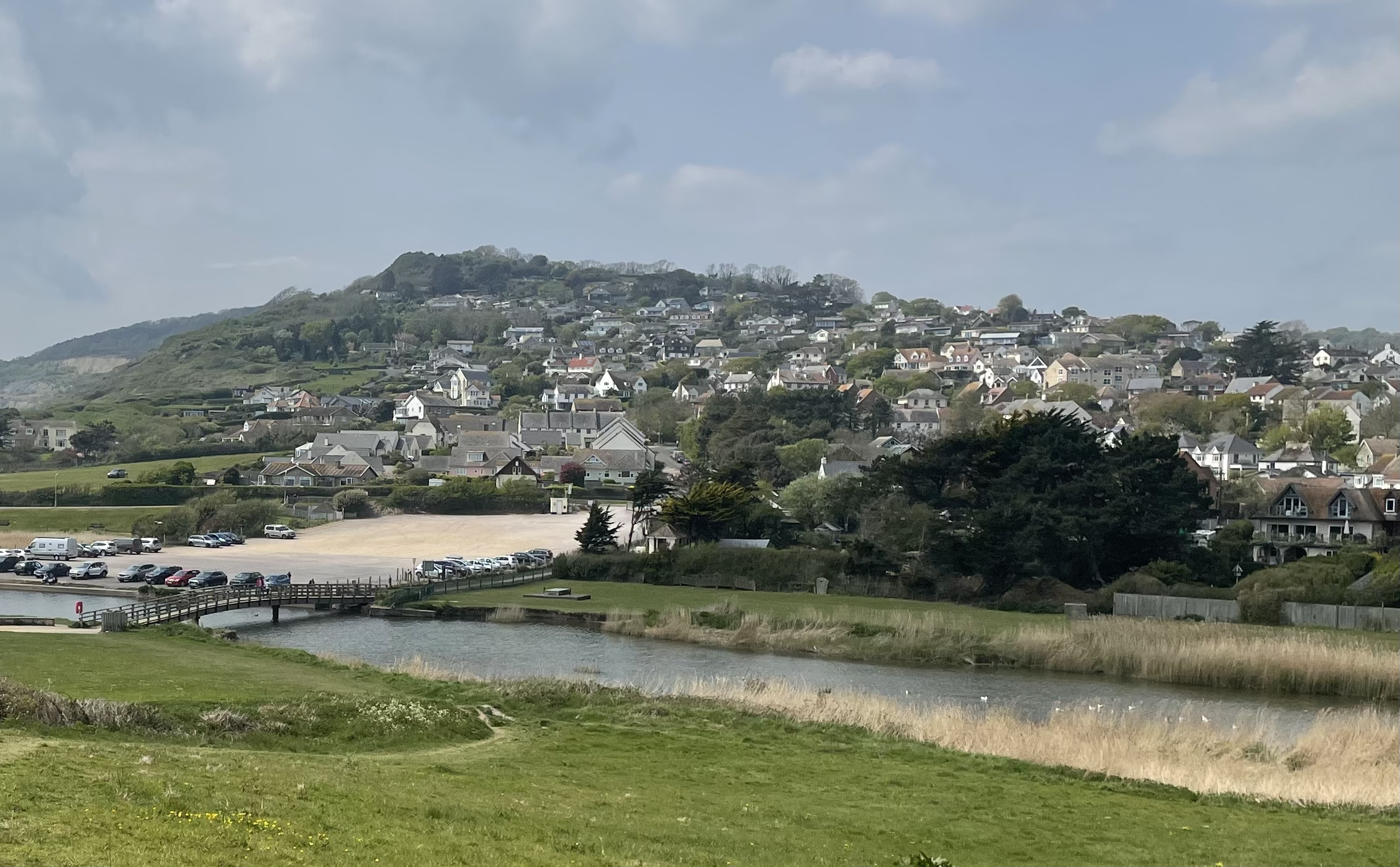
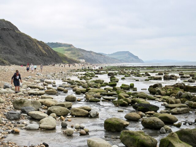
Charmouth
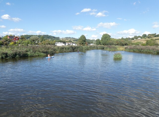
Charmouth is a village and civil parish in west Dorset, England. The village is situated on the mouth of the River Char, around 1+1⁄2 miles (2 km) north...

Wootton Fitzpaine
Wootton Fitzpaine is a village and civil parish in the county of Dorset in South West England. It lies approximately 3 miles (4.8 km) north-east of Lyme...
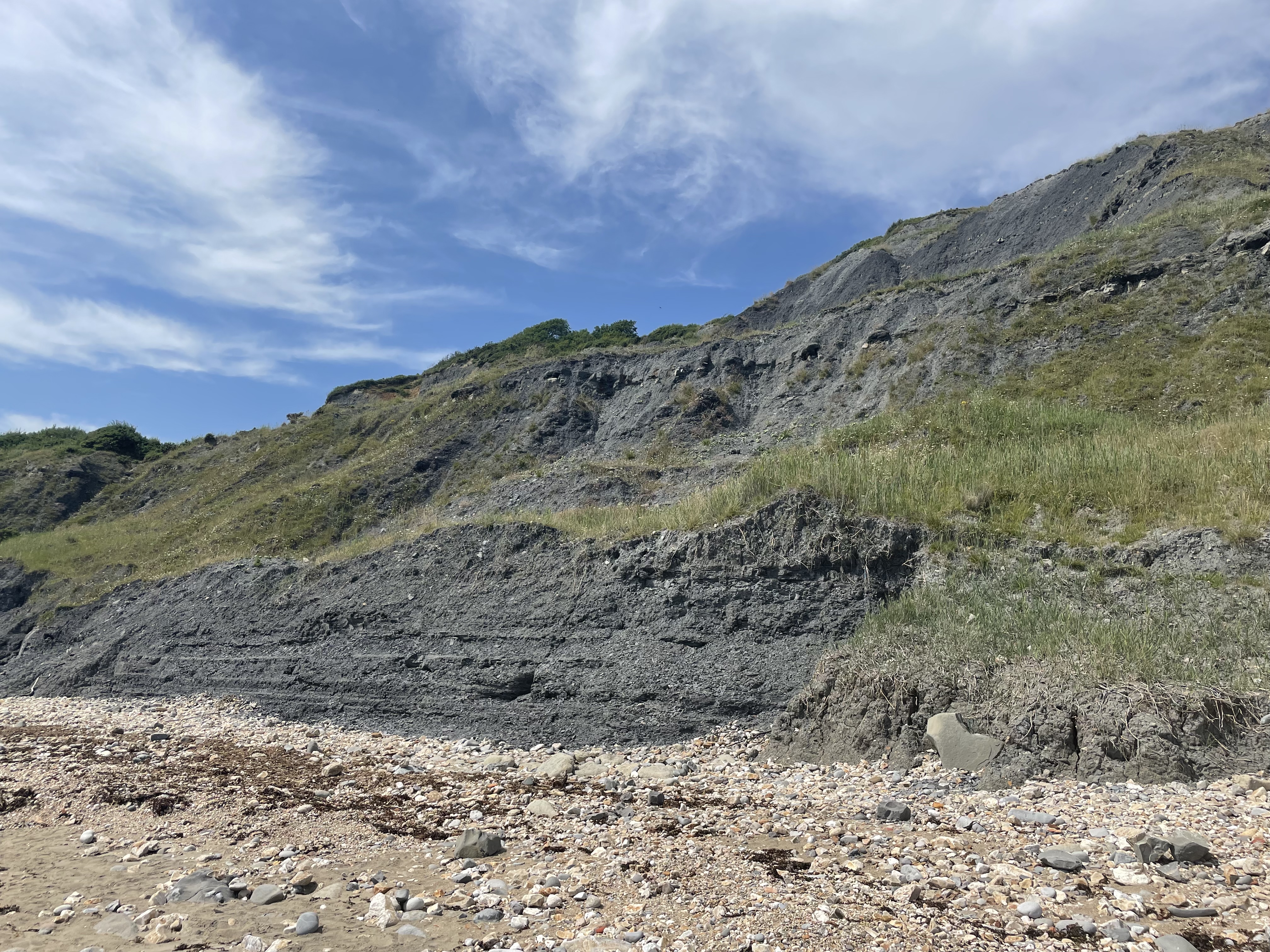
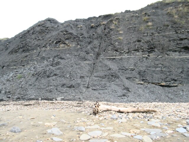
Black Ven
Black Ven is a cliff in Dorset, England between the towns of Charmouth and Lyme Regis. The cliffs reach a height of 130 metres (430 ft). It is part of...
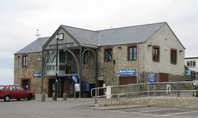
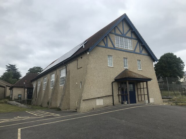
Charmouth Heritage Coast Centre
The Charmouth Heritage Coast Centre is based in the upstairs floor of a long-disused cement factory on the foreshore of Charmouth in Dorset, England. The...
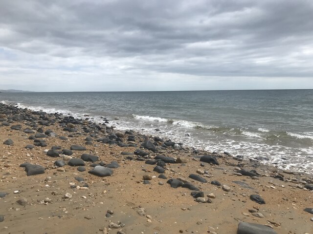
The Spittles
The Spittles is an area of coastal cliff in the county of Dorset on the south coast of England. It is situated between the settlements of Lyme Regis to...

River Char
The River Char is a river in Dorset. The Char runs a few miles from Bettiscombe to Charmouth, passing Pilsdon and Whitchurch Canonicorum.
Nearby Amenities
Located within 500m of 50.747615,-2.9035912Have you been to Ten Acre Coppice?
Leave your review of Ten Acre Coppice below (or comments, questions and feedback).