Feggy Coppice
Wood, Forest in Shropshire
England
Feggy Coppice

The requested URL returned error: 429 Too Many Requests
If you have any feedback on the listing, please let us know in the comments section below.
Feggy Coppice Images
Images are sourced within 2km of 52.874249/-2.9522607 or Grid Reference SJ3631. Thanks to Geograph Open Source API. All images are credited.


Feggy Coppice is located at Grid Ref: SJ3631 (Lat: 52.874249, Lng: -2.9522607)
Unitary Authority: Shropshire
Police Authority: West Mercia
What 3 Words
///wand.spoon.trader. Near Whittington, Shropshire
Nearby Locations
Related Wikis
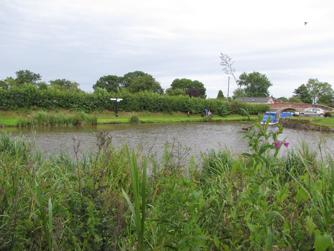
Frankton Junction
Frankton Junction (grid reference SJ369318) is the name of the canal junction where the Montgomery Canal terminates and meets the Llangollen Canal at Lower...
Welsh Frankton
Welsh Frankton is a village in the civil parish of Ellesmere Rural in Shropshire, England, about 2.5 miles (4.0 km) southwest of Ellesmere, on the A495...
Hordley
Hordley is a small and rural village and civil parish in North Shropshire, Shropshire, England. The population of this Civil Parish at the 2011 census...

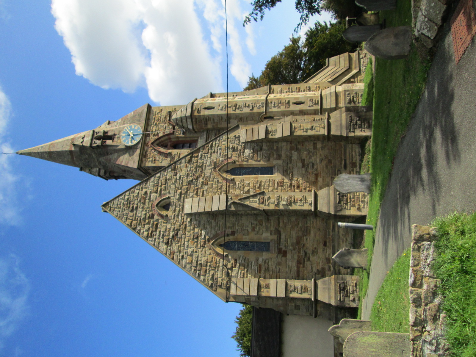
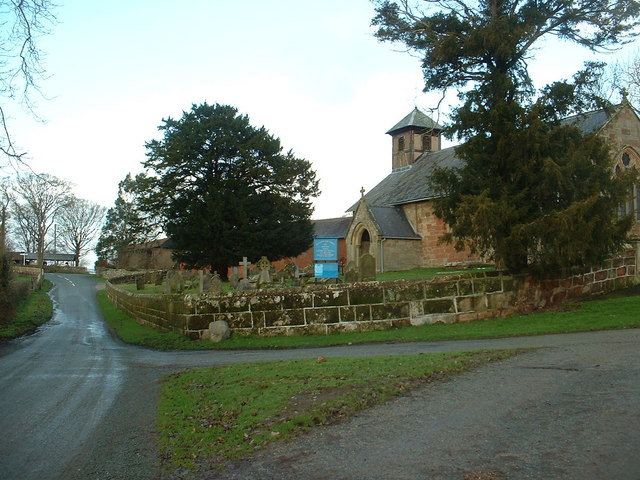
Halston Hall Chapel
Halston Hall Chapel is an ancient church building in Whittington, Shropshire, within the grounds of Halston Hall. Both are Grade I listed buildings. Dating...
Nearby Amenities
Located within 500m of 52.874249,-2.9522607Have you been to Feggy Coppice?
Leave your review of Feggy Coppice below (or comments, questions and feedback).