Allas Haw Wood

Wood, Forest in Lancashire South Lakeland

England

Allas Haw Wood

Vernacular farm building
Vernacular farm building Credit: P Gaskell

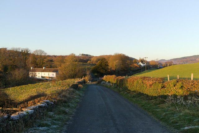
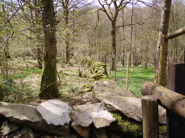
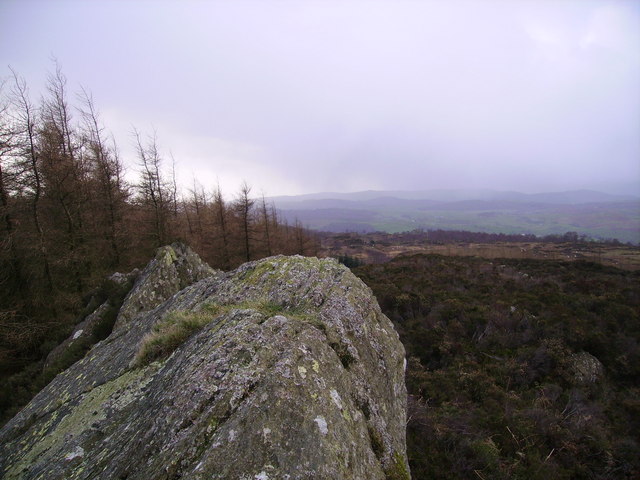
Allas Haw Wood, located in Lancashire, is a picturesque wood or forest that offers a serene escape from the hustle and bustle of city life. Spread across a vast area, it is a popular destination for nature enthusiasts and hikers alike.

The wood is primarily composed of various species of trees, including oak, beech, and birch. These trees create a dense canopy, providing shade and shelter for the abundance of wildlife that calls the wood home. Visitors can expect to see a wide array of bird species, such as woodpeckers and owls, as well as small mammals like squirrels and rabbits.

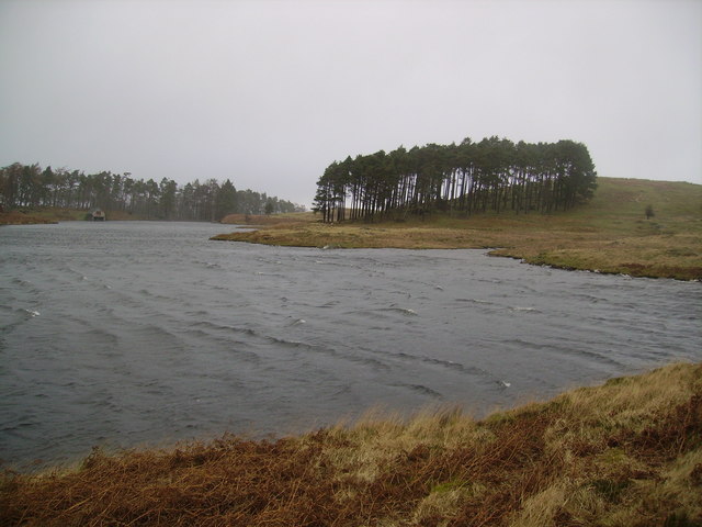
Traversing through Allas Haw Wood, visitors will come across well-maintained trails that wind their way through the forest. These trails offer breathtaking views of the surrounding landscape and are suitable for both leisurely strolls and more rigorous hikes. The wood is also intersected by a small river, adding to the overall tranquility and natural beauty of the area.

For those interested in history, Allas Haw Wood holds significance as it is believed to have been a part of an ancient hunting ground. The wood retains an air of mystery and a sense of timelessness, making it an intriguing destination for history buffs.

Overall, Allas Haw Wood in Lancashire is a haven for nature lovers, providing a peaceful setting to reconnect with the natural world. With its diverse flora and fauna, well-maintained trails, and historical significance, it is a must-visit destination for anyone seeking solace in the beauty of nature.

If you have any feedback on the listing, please let us know in the comments section below.

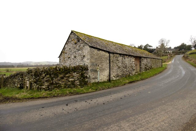
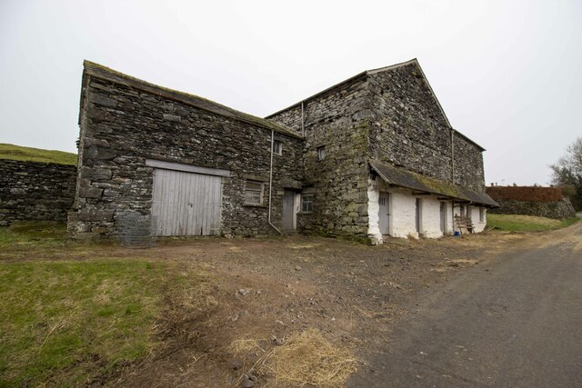
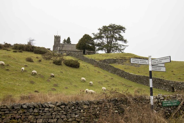
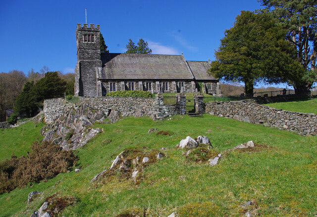
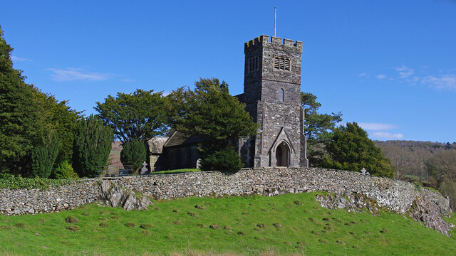
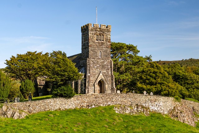
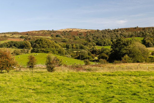
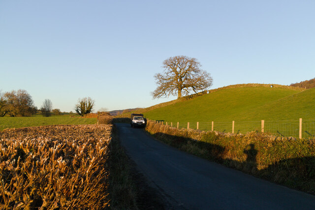
Allas Haw Wood Images

Images are sourced within 2km of 54.304393/-3.0035268 or Grid Reference SD3490. Thanks to Geograph Open Source API. All images are credited.

Vernacular farm building
Vernacular farm building at Rusland Cross
Rusland Church
Rusland Church
St Paul's Church, Rusland Built on a prominent rocky knoll. Grade II Listed Building. See <span class="nowrap"><a title="https://historicengland.org.uk/listing/the-list/list-entry/1225406" rel="nofollow ugc noopener" href="https://historicengland.org.uk/listing/the-list/list-entry/1225406">Link</a><img style="margin-left:2px;" alt="External link" title="External link - shift click to open in new window" src="https://s1.geograph.org.uk/img/external.png" width="10" height="10"/></span>
St Paul's Church, Rusland
Built on a prominent rocky knoll. Grade II Listed Building. See LinkExternal link
St Paul's St Paul's Church.
St Paul's
St Paul's Church.
Thwaite Moss View across fields at Thwaite Moss.
Thwaite Moss
View across fields at Thwaite Moss.
Road and tree near Rusland Cross
Cinder Hill, Rusland Cross
Rusland Hall
Rusland Hall
Across the fields to Thwaite Moss
Farmhouse at Rusland Cross
Woodland Rusland Leaving Rusland on the road to Satterthwaite
Woodland Rusland
Leaving Rusland on the road to Satterthwaite
Rusland Church Church where Arthur Ransome is buried.
Rusland Church
Church where Arthur Ransome is buried.
Footpath through Rusland Church Kissing Gate and footpath that passes through the churchyard at Rusland Church.
Footpath through Rusland Church
Kissing Gate and footpath that passes through the churchyard at Rusland Church.
On Rusland Heights The low fells dividing Windermere and the Rusland Valley are a rough wet tangle of woodland, heather, bracken, small colourful crags and little Tarns. The area is now mostly Access Land and ripe for exploration on days when strong winds would blow you over on the higher fells.
On Rusland Heights
The low fells dividing Windermere and the Rusland Valley are a rough wet tangle of woodland, heather, bracken, small colourful crags and little Tarns. The area is now mostly Access Land and ripe for exploration on days when strong winds would blow you over on the higher fells.
Great Green Hows The highest point of the fell is marked by a line of large colourful rocks. The top is ringed with plantations of varying types of conifer. It is wet and rough with much bracken and heather.
Great Green Hows
The highest point of the fell is marked by a line of large colourful rocks. The top is ringed with plantations of varying types of conifer. It is wet and rough with much bracken and heather.
Green Hows Upper Tarn Fierce painful gusts of hail greeted my arrival at the tarn. Referred to by Heaton Cooper as High Tarn, built for fishing by the Sandys family of Greythwaite Hall. He refers to the boathouse in shot on the far bank as having two berths.
Green Hows Upper Tarn
Fierce painful gusts of hail greeted my arrival at the tarn. Referred to by Heaton Cooper as High Tarn, built for fishing by the Sandys family of Greythwaite Hall. He refers to the boathouse in shot on the far bank as having two berths.
Show me another place!

Allas Haw Wood is located at Grid Ref: SD3490 (Lat: 54.304393, Lng: -3.0035268)

Administrative County: Cumbria

District: South Lakeland

Police Authority: Cumbria

What 3 Words

///underway.dimension.tomorrow. Near Windermere, Cumbria

Related Wikis

Crosslands

Crosslands is a hamlet in the South Lakeland district of Cumbria, England. It is located just to the northeast of Rusland in the civil parish of Colton...

Satterthwaite & Rusland School

Satterthwaite & Rusland School was a Church of England Primary school near Force Forge in the Rusland Valley. The school was established in 1840 for children...

Rusland, Cumbria

Rusland is a village in the South Lakeland district of Cumbria, England. It is located just to the southwest of Crosslands in the civil parish of Colton...
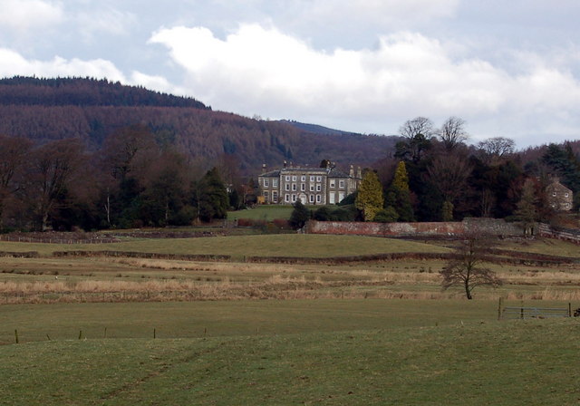
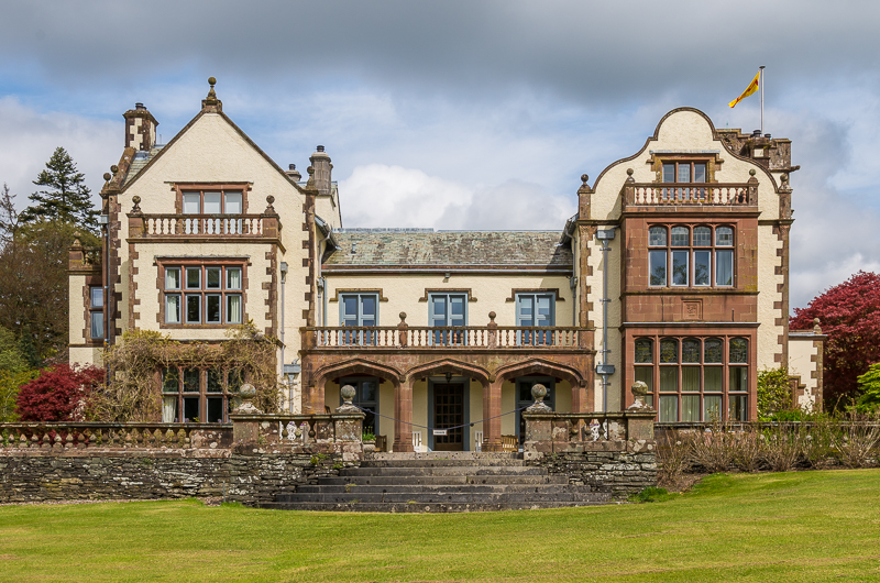
Rusland Hall

Rusland Hall is a country house in the English Lake District. The present building dates from about 1720. The Hall was owned by the Rawlinson family in...

Satterthwaite

Satterthwaite is a small village (and civil parish) with around 50 dwellings situated in Grizedale, a valley in the Lake District, England, about four...

Finsthwaite Heights

Finsthwaite Heights is an upland area in the English Lake District, above Finsthwaite, Cumbria. It is the subject of a chapter of Wainwright's book The...

Graythwaite Hall

Graythwaite Hall, in Ulverston, Cumbria in the Lake District of England is the home of the Sandys family. One of the more famous members of the family...

Stott Park Bobbin Mill

Stott Park Bobbin Mill is a 19th-century bobbin mill and now a working museum located near Newby Bridge, Cumbria, England. Built in 1835 the mill was one...

Nearby Amenities

Located within 500m of 54.304393,-3.0035268
Bus Stop
Thwaite Head
Local Ref: AT
Naptan AtcoCode: 090079140735
Naptan Bearing: N
Naptan BusStopType: CUS
Naptan CommonName: Thwaite Head at crossroads
Naptan Indicator: at
Naptan Landmark: crossroads
Naptan NaptanCode: cumdgtja
Naptan Street: No name
Naptan Verified: no
Source: naptan_import
Lat/Long: 54.3075415/-3.0045576
Ford: yes
Lat/Long: 54.3080888/-3.0028633
Power: pole
Lat/Long: 54.307282/-3.0030394
Power: pole
Lat/Long: 54.307464/-3.0033763
Power: pole
Lat/Long: 54.3076272/-3.0040287
Power: pole
Lat/Long: 54.3077614/-3.0044637
Power: pole
Lat/Long: 54.3023424/-3.0097242
Power: pole
Lat/Long: 54.303263/-3.0091288
Power: pole
Lat/Long: 54.3041138/-3.008578
Power: pole
Lat/Long: 54.3049334/-3.0080539
Power: pole
Lat/Long: 54.3057603/-3.007487
Power: pole
Lat/Long: 54.3063667/-3.0071073
Power: pole
Lat/Long: 54.3065778/-3.0063212
Power: pole
Lat/Long: 54.3070407/-3.0046509
Power: pole
Lat/Long: 54.3080152/-3.0026009
Power: pole
Lat/Long: 54.3012471/-3.0071448
The data included in this document is from www.openstreetmap.org. The data is made available under ODbL.

Have you been to Allas Haw Wood?

Leave your review of Allas Haw Wood below (or comments, questions and feedback).