Orchard Wood
Wood, Forest in Lancashire South Lakeland
England
Orchard Wood
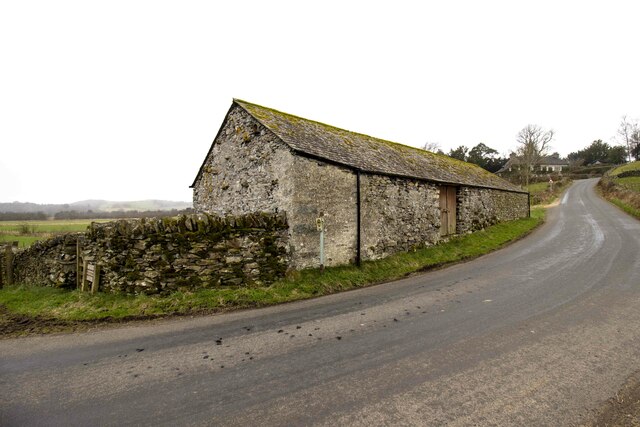
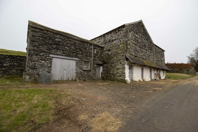
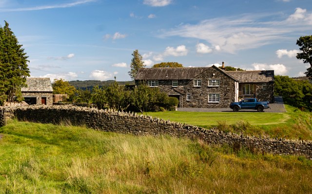
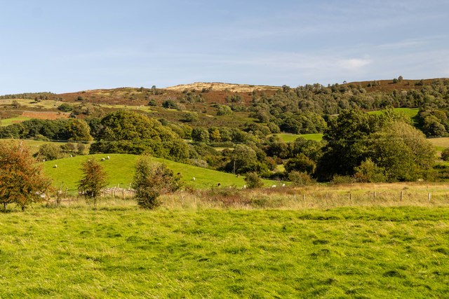
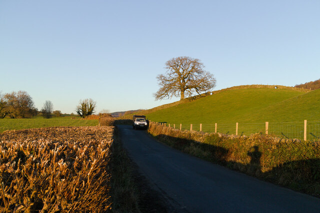
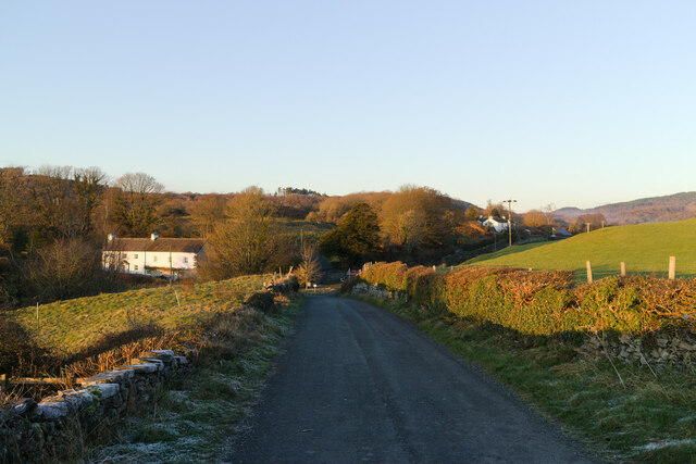
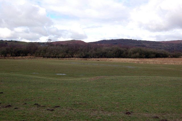
Orchard Wood is a charming woodland located in Lancashire, England. Spread across a vast area, it is known for its lush greenery, serene environment, and diverse wildlife. The wood is situated on the outskirts of a small village, providing a tranquil escape from the bustling city life.
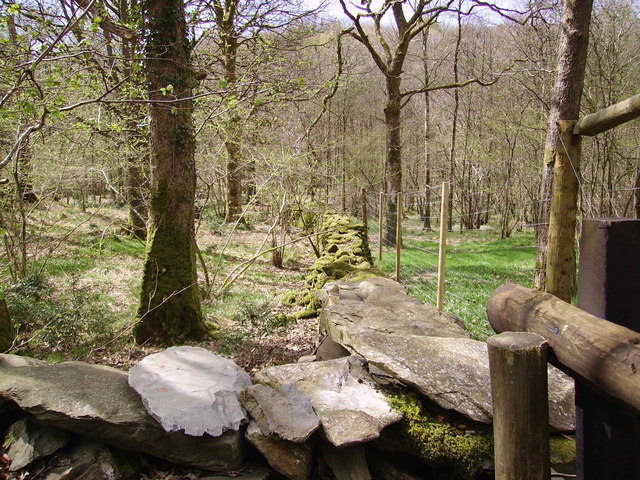
The wood is predominantly composed of deciduous trees, including oak, beech, and birch, which create a breathtaking canopy of foliage during the summer months. The forest floor is covered with a rich carpet of wildflowers, enhancing the natural beauty of the area.
Orchard Wood is a popular destination for nature enthusiasts, hikers, and birdwatchers. The wood is home to a variety of bird species, including woodpeckers, owls, and finches, making it a paradise for bird lovers. Visitors can also spot small mammals such as squirrels, rabbits, and foxes, adding to the wildlife experience.
The wood offers several walking trails, providing visitors with an opportunity to explore its hidden gems. These trails wind through the forest and lead to picturesque viewpoints, offering stunning vistas of the surrounding countryside. Additionally, there are picnic areas and benches scattered throughout the wood, providing a perfect spot for visitors to relax and enjoy the peaceful atmosphere.
Orchard Wood is not only a haven for flora and fauna, but it also plays an important role in preserving the local ecosystem. The wood is managed by conservationists who ensure its sustainable growth and protection.
If you have any feedback on the listing, please let us know in the comments section below.
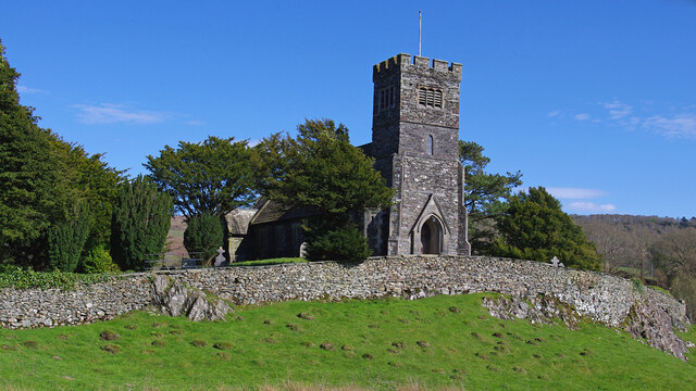
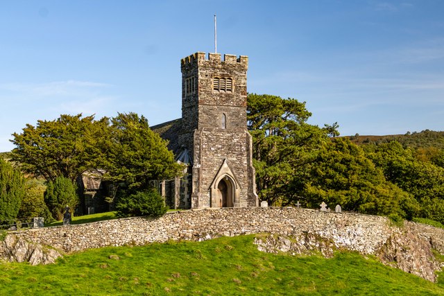
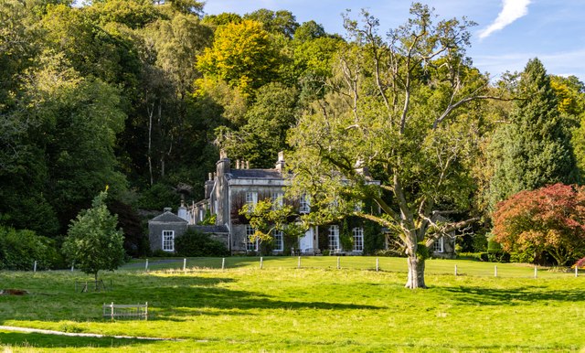
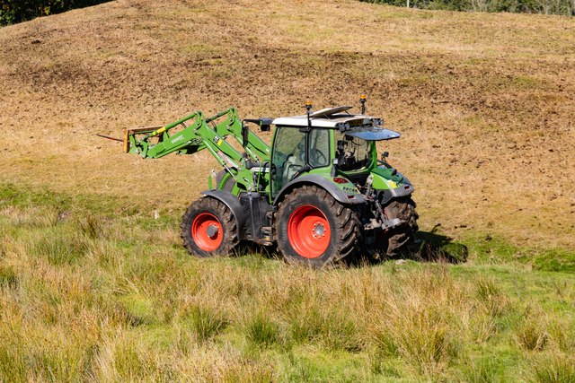
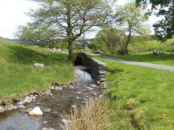
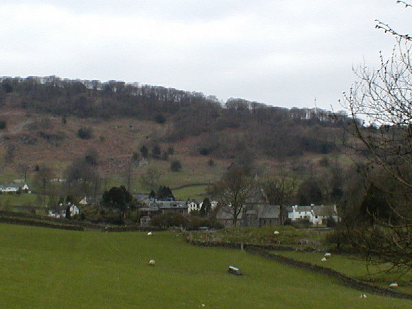
Orchard Wood Images
Images are sourced within 2km of 54.302134/-3.0125386 or Grid Reference SD3490. Thanks to Geograph Open Source API. All images are credited.
Orchard Wood is located at Grid Ref: SD3490 (Lat: 54.302134, Lng: -3.0125386)
Administrative County: Cumbria
District: South Lakeland
Police Authority: Cumbria
What 3 Words
///speak.obstruct.puzzles. Near Windermere, Cumbria
Nearby Locations
Related Wikis

Crosslands
Crosslands is a hamlet in the South Lakeland district of Cumbria, England. It is located just to the northeast of Rusland in the civil parish of Colton...

Satterthwaite & Rusland School
Satterthwaite & Rusland School was a Church of England Primary school near Force Forge in the Rusland Valley. The school was established in 1840 for children...

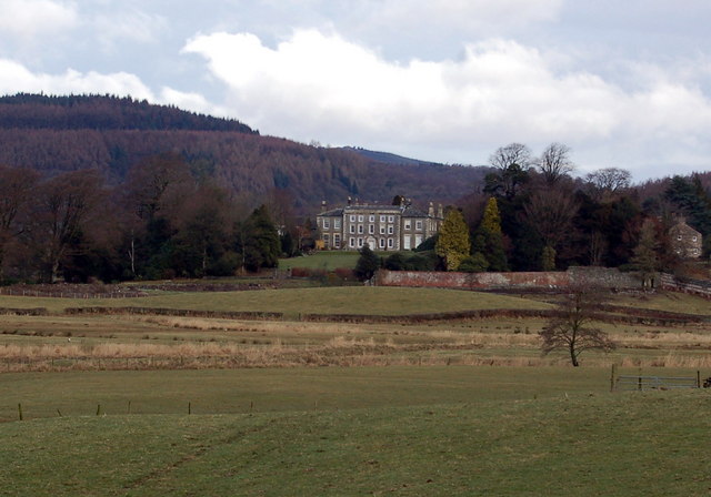
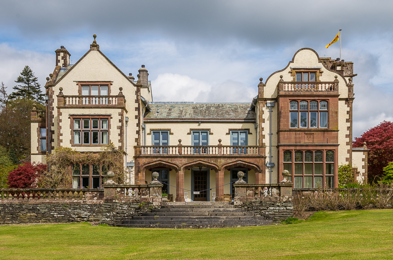
Rusland Hall
Rusland Hall is a country house in the English Lake District. The present building dates from about 1720. The Hall was owned by the Rawlinson family in...

Rusland, Cumbria
Rusland is a village in the South Lakeland district of Cumbria, England. It is located just to the southwest of Crosslands in the civil parish of Colton...

Satterthwaite
Satterthwaite is a small village (and civil parish) with around 50 dwellings situated in Grizedale, a valley in the Lake District, England, about four...
Finsthwaite Heights
Finsthwaite Heights is an upland area in the English Lake District, above Finsthwaite, Cumbria. It is the subject of a chapter of Wainwright's book The...
Graythwaite Hall
Graythwaite Hall, in Ulverston, Cumbria in the Lake District of England is the home of the Sandys family. One of the more famous members of the family...

North Lonsdale Rural District
North Lonsdale was a rural district in the county of Lancashire, England from 1894 to 1974. It was created in 1894 as the Ulverston Rural District, and...
Nearby Amenities
Located within 500m of 54.302134,-3.0125386Have you been to Orchard Wood?
Leave your review of Orchard Wood below (or comments, questions and feedback).