Thwaite Moss
Wood, Forest in Lancashire South Lakeland
England
Thwaite Moss
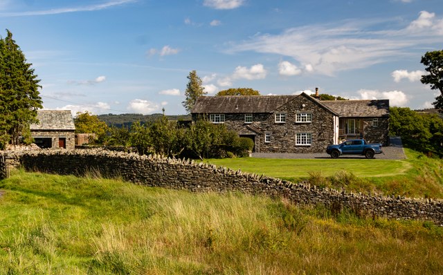
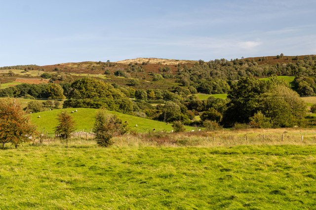
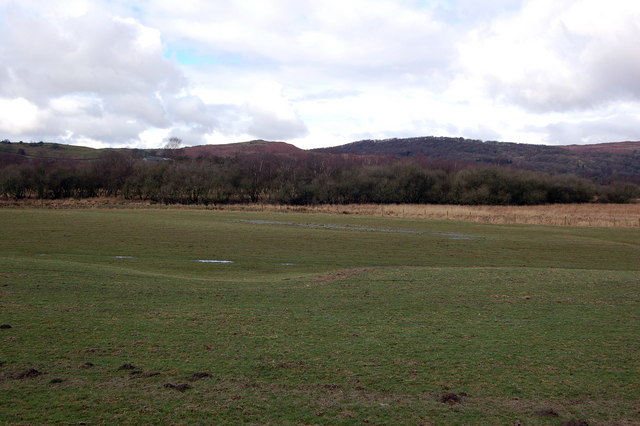
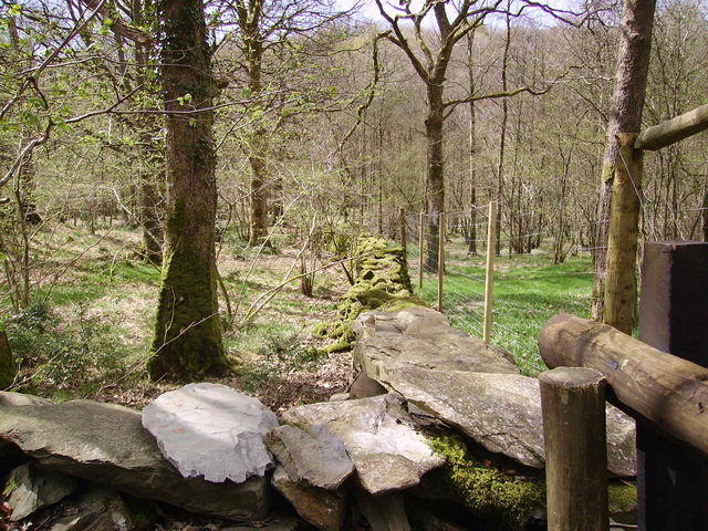
Thwaite Moss is a picturesque woodland located in the county of Lancashire, England. It is a part of the larger Thwaite Moss Local Nature Reserve and covers an area of approximately 200 acres. The moss is characterized by its dense and diverse forest, making it an ideal habitat for a wide range of flora and fauna.
The woodland is predominantly composed of oak and birch trees, with a lush undergrowth of ferns, mosses, and wildflowers. This vibrant ecosystem supports a variety of wildlife, including deer, foxes, badgers, and numerous bird species such as woodpeckers and owls. The tranquil setting of Thwaite Moss attracts nature enthusiasts and photographers who appreciate its natural beauty.
The moss is traversed by a network of well-maintained trails, allowing visitors to explore the woodland and enjoy its tranquility. These paths cater to both casual walkers and avid hikers, offering options for various lengths and difficulties. Additionally, there are designated picnic areas and benches where visitors can take a break and enjoy the serenity of their surroundings.
Thwaite Moss is also home to a small visitor center, providing information about the reserve's ecology, wildlife, and conservation efforts. The center hosts educational programs and workshops aimed at raising awareness about the importance of preserving this unique habitat.
Overall, Thwaite Moss offers a peaceful and picturesque experience for nature lovers and outdoor enthusiasts. Its lush forest, diverse wildlife, and well-maintained trails make it a must-visit destination for anyone seeking a connection with nature in the heart of Lancashire.
If you have any feedback on the listing, please let us know in the comments section below.
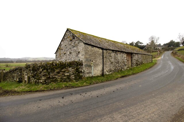
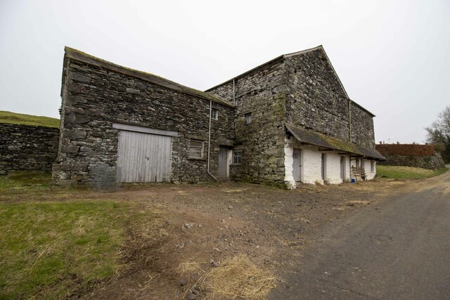
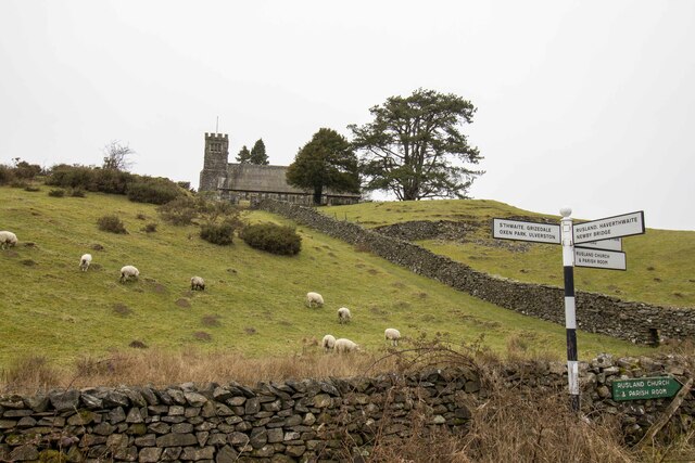
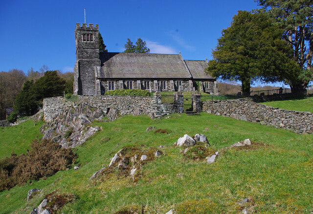
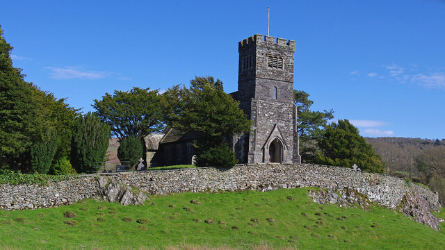
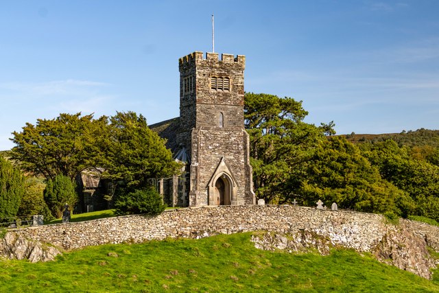
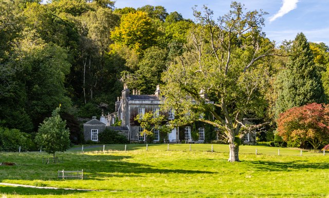
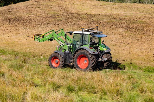
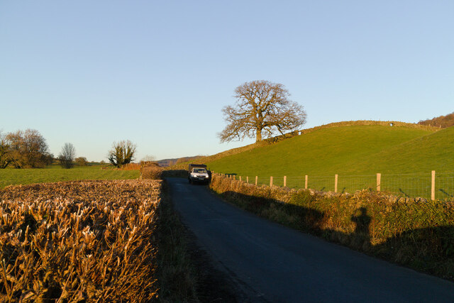
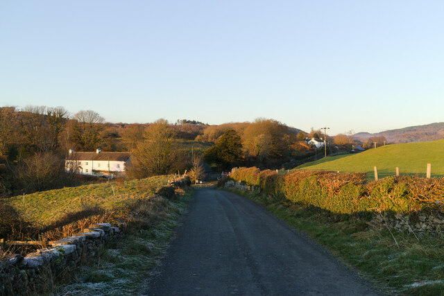
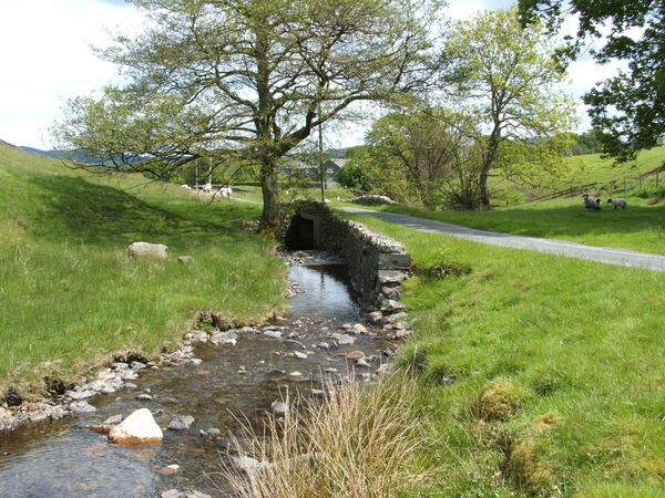
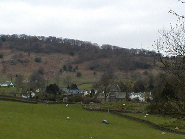
Thwaite Moss Images
Images are sourced within 2km of 54.301623/-3.0145392 or Grid Reference SD3490. Thanks to Geograph Open Source API. All images are credited.
Thwaite Moss is located at Grid Ref: SD3490 (Lat: 54.301623, Lng: -3.0145392)
Administrative County: Cumbria
District: South Lakeland
Police Authority: Cumbria
What 3 Words
///merge.motivate.dimes. Near Windermere, Cumbria
Nearby Locations
Related Wikis

Crosslands
Crosslands is a hamlet in the South Lakeland district of Cumbria, England. It is located just to the northeast of Rusland in the civil parish of Colton...

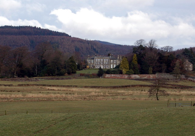
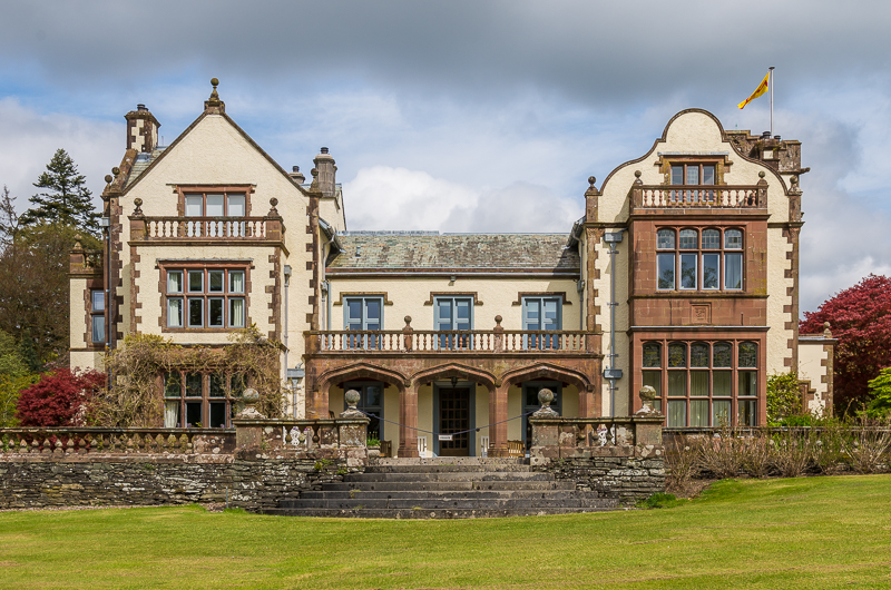
Rusland Hall
Rusland Hall is a country house in the English Lake District. The present building dates from about 1720. The Hall was owned by the Rawlinson family in...

Satterthwaite & Rusland School
Satterthwaite & Rusland School was a Church of England Primary school near Force Forge in the Rusland Valley. The school was established in 1840 for children...

Rusland, Cumbria
Rusland is a village in the South Lakeland district of Cumbria, England. It is located just to the southwest of Crosslands in the civil parish of Colton...

Satterthwaite
Satterthwaite is a small village (and civil parish) with around 50 dwellings situated in Grizedale, a valley in the Lake District, England, about four...
Finsthwaite Heights
Finsthwaite Heights is an upland area in the English Lake District, above Finsthwaite, Cumbria. It is the subject of a chapter of Wainwright's book The...

North Lonsdale Rural District
North Lonsdale was a rural district in the county of Lancashire, England from 1894 to 1974. It was created in 1894 as the Ulverston Rural District, and...
Graythwaite Hall
Graythwaite Hall, in Ulverston, Cumbria in the Lake District of England is the home of the Sandys family. One of the more famous members of the family...
Nearby Amenities
Located within 500m of 54.301623,-3.0145392Have you been to Thwaite Moss?
Leave your review of Thwaite Moss below (or comments, questions and feedback).