Thwaite Head
Settlement in Lancashire South Lakeland
England
Thwaite Head
Thwaite Head is a small village located in the county of Lancashire, England. Situated in the picturesque Ribble Valley, it lies approximately 10 miles north of the city of Preston. The village is nestled amidst rolling hills, offering stunning views of the surrounding countryside.
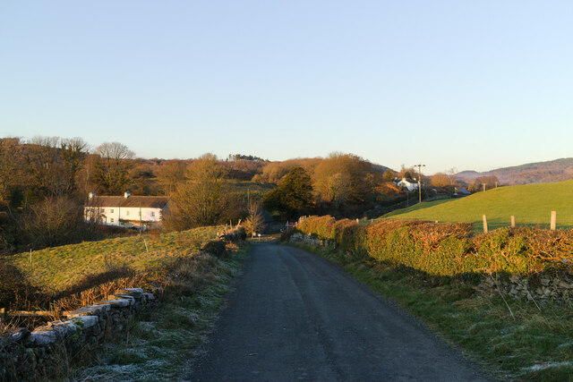
With a population of around 200 residents, Thwaite Head maintains a close-knit community atmosphere. Its origins can be traced back to the medieval period when it was primarily an agricultural settlement. Today, the village retains much of its historic charm, with traditional stone cottages and narrow lanes lined with hedgerows.
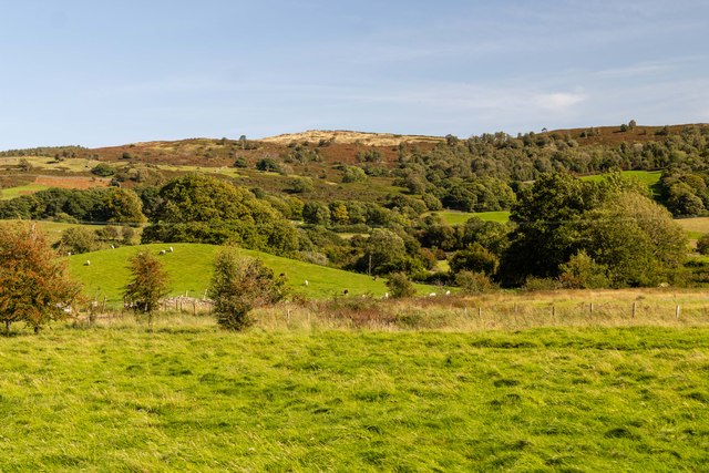
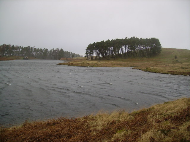
Thwaite Head is known for its scenic beauty, attracting nature lovers and outdoor enthusiasts. The nearby Forest of Bowland, an Area of Outstanding Natural Beauty, provides ample opportunities for hiking, cycling, and wildlife spotting. The village itself boasts several walking trails, allowing visitors to explore the surrounding countryside and enjoy the tranquility of the area.
Despite its rural setting, Thwaite Head is conveniently located near major transport links. The M6 motorway is just a short drive away, providing easy access to nearby cities and towns. The village is also served by regular bus services, connecting it to the wider region.
Thwaite Head benefits from a range of amenities, including a village hall, a local pub, and a primary school. For shopping and leisure activities, residents can easily access nearby towns such as Longridge and Clitheroe.
Overall, Thwaite Head offers a peaceful and idyllic retreat for those seeking a quieter way of life amidst the stunning Lancashire countryside.
If you have any feedback on the listing, please let us know in the comments section below.
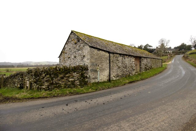
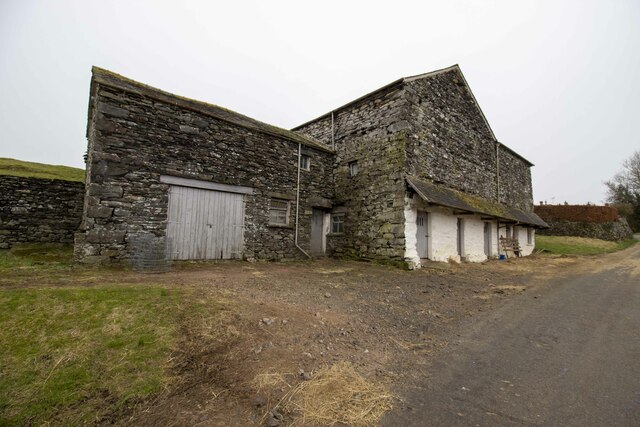
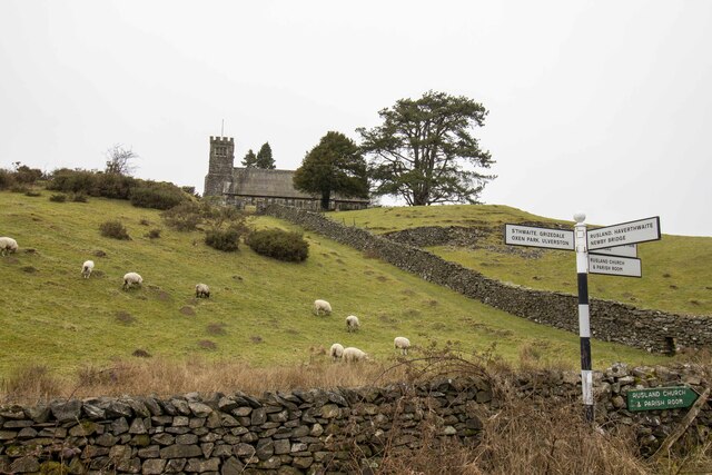
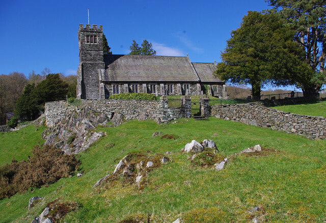
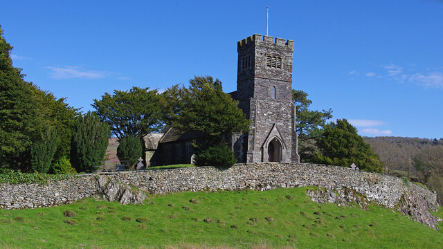
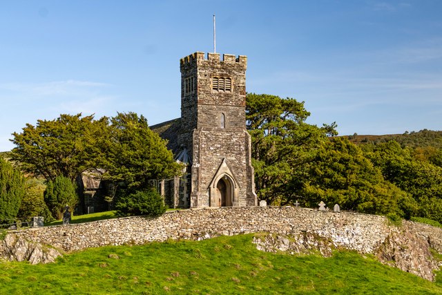
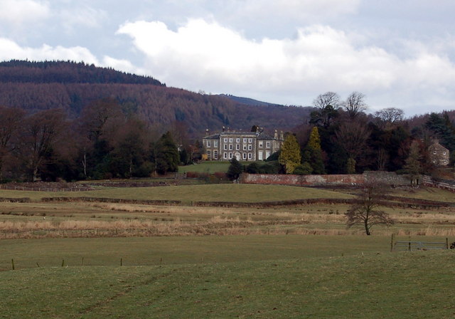
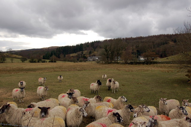
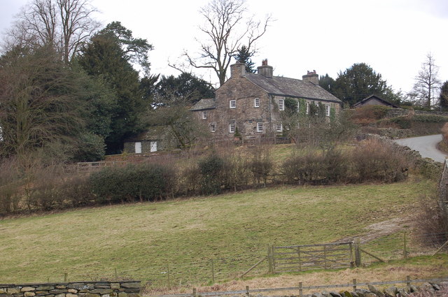
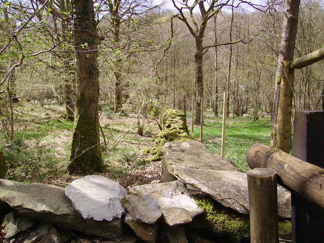
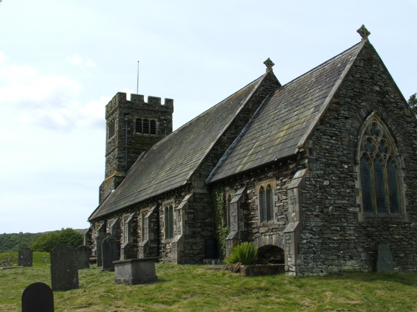
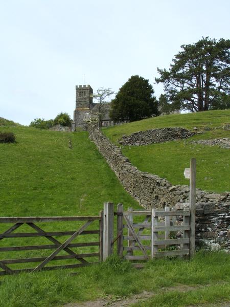
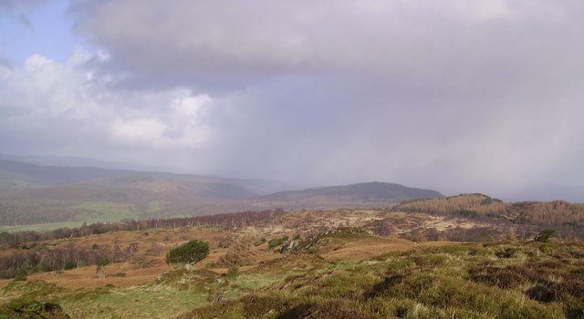
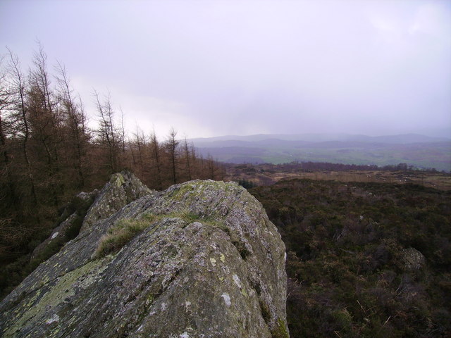
Thwaite Head Images
Images are sourced within 2km of 54.306445/-3.006626 or Grid Reference SD3490. Thanks to Geograph Open Source API. All images are credited.

Thwaite Head is located at Grid Ref: SD3490 (Lat: 54.306445, Lng: -3.006626)
Administrative County: Cumbria
District: South Lakeland
Police Authority: Cumbria
What 3 Words
///distilled.january.whirlwind. Near Windermere, Cumbria
Nearby Locations
Related Wikis

Satterthwaite & Rusland School
Satterthwaite & Rusland School was a Church of England Primary school near Force Forge in the Rusland Valley. The school was established in 1840 for children...

Crosslands
Crosslands is a hamlet in the South Lakeland district of Cumbria, England. It is located just to the northeast of Rusland in the civil parish of Colton...

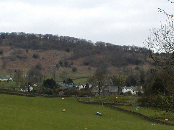
Rusland, Cumbria
Rusland is a village in the South Lakeland district of Cumbria, England. It is located just to the southwest of Crosslands in the civil parish of Colton...

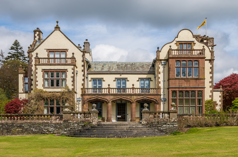
Rusland Hall
Rusland Hall is a country house in the English Lake District. The present building dates from about 1720. The Hall was owned by the Rawlinson family in...

Satterthwaite
Satterthwaite is a small village (and civil parish) with around 50 dwellings situated in Grizedale, a valley in the Lake District, England, about four...
Graythwaite Hall
Graythwaite Hall, in Ulverston, Cumbria in the Lake District of England is the home of the Sandys family. One of the more famous members of the family...
Finsthwaite Heights
Finsthwaite Heights is an upland area in the English Lake District, above Finsthwaite, Cumbria. It is the subject of a chapter of Wainwright's book The...
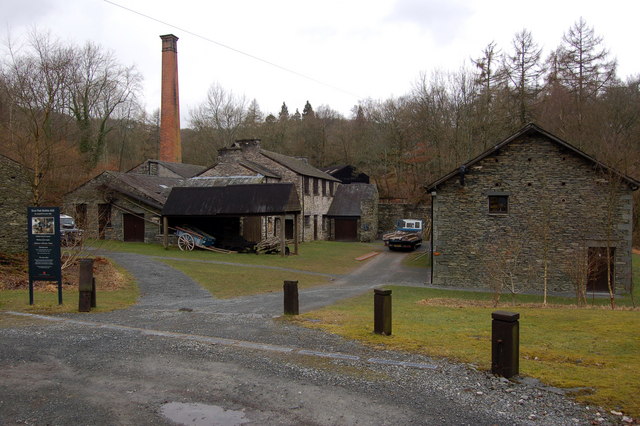
Stott Park Bobbin Mill
Stott Park Bobbin Mill is a 19th-century bobbin mill and now a working museum located near Newby Bridge, Cumbria, England. Built in 1835 the mill was one...
Nearby Amenities
Located within 500m of 54.306445,-3.006626Have you been to Thwaite Head?
Leave your review of Thwaite Head below (or comments, questions and feedback).