Tile Kiln Wood

Wood, Forest in Cumberland Carlisle

England

Tile Kiln Wood

Two access methods into St Mary's Church churchyard Either through the metal gates or using stone steps
Two access methods into St Mary's Church churchyard Credit: Luke Shaw

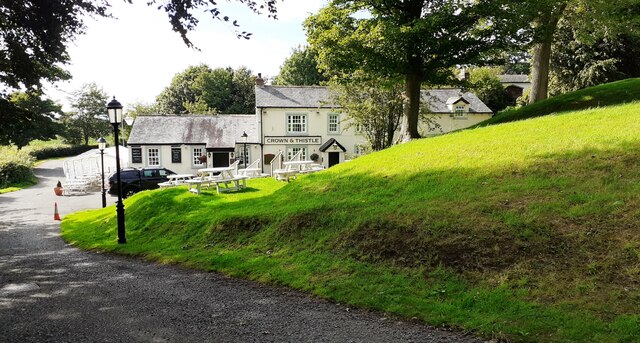
Tile Kiln Wood is a picturesque woodland located in the county of Cumberland, England. Covering an area of approximately 100 hectares, the wood is renowned for its diverse range of flora and fauna, making it a popular destination for nature enthusiasts and hikers alike.

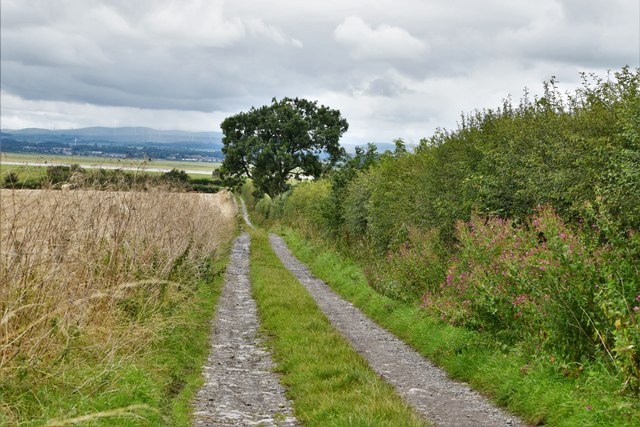
The woodland is primarily composed of deciduous trees, including oak, beech, and birch, interspersed with pockets of coniferous trees such as pine and spruce. This mix of tree species creates a vibrant and ever-changing landscape throughout the seasons, with bursts of color in the autumn and lush greenery in the spring and summer.

Within the wood, there are several walking trails that meander through the trees, offering visitors the opportunity to explore the area at their own pace. These trails vary in length and difficulty, catering to both casual strollers and more experienced hikers. Along the way, walkers may encounter a variety of wildlife, including squirrels, deer, and a multitude of bird species.

Tile Kiln Wood also boasts a rich history, with evidence of human activity dating back centuries. The name itself refers to the remnants of a tile kiln that was once used in the area for making roof tiles. Ancient earthworks and the remains of old boundary walls can also be found scattered throughout the wood, providing glimpses into its past.

Overall, Tile Kiln Wood offers a tranquil and enchanting escape from the hustle and bustle of everyday life. Its natural beauty and historical significance make it a must-visit destination for anyone seeking to connect with nature and explore the rich heritage of Cumberland.

If you have any feedback on the listing, please let us know in the comments section below.

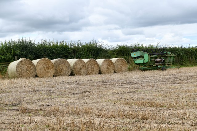
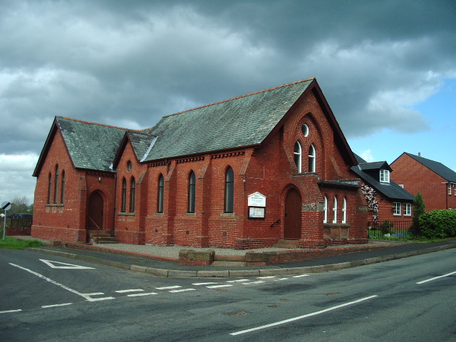
Tile Kiln Wood Images

Images are sourced within 2km of 54.935396/-3.0191973 or Grid Reference NY3460. Thanks to Geograph Open Source API. All images are credited.

Two access methods into St Mary's Church churchyard Either through the metal gates or using stone steps
Two access methods into St Mary's Church churchyard
Either through the metal gates or using stone steps
Benchmark on tower of St Mary the Virgin Church Ordnance Survey cut mark benchmark described on the Bench Mark Database at <span class="nowrap"><a title="www.bench-marks.org.uk/bm107179" rel="nofollow ugc noopener" href="http://www.bench-marks.org.uk/bm107179">Link</a><img style="margin-left:2px;" alt="External link" title="External link - shift click to open in new window" src="https://s1.geograph.org.uk/img/external.png" width="10" height="10"/></span>
Benchmark on tower of St Mary the Virgin Church
Ordnance Survey cut mark benchmark described on the Bench Mark Database at LinkExternal link
Church of St Mary the Virgin There is an Ordnance Survey benchmark <a href="https://www.geograph.org.uk/photo/6938116">NY3561 : Benchmark on tower of St Mary the Virgin Church</a> at the base of the tower on its east face. The spire is an Ordnance Survey intersected station trig point, <span class="nowrap"><a title="http://trigpointing.uk/trig/11100" rel="nofollow ugc noopener" href="http://trigpointing.uk/trig/11100">Link</a><img style="margin-left:2px;" alt="External link" title="External link - shift click to open in new window" src="https://s1.geograph.org.uk/img/external.png" width="10" height="10"/></span>
Church of St Mary the Virgin
There is an Ordnance Survey benchmark NY3561 : Benchmark on tower of St Mary the Virgin Church at the base of the tower on its east face. The spire is an Ordnance Survey intersected station trig point, LinkExternal link
Crown & Thistle pub
Crown & Thistle pub
Parapet of small bridge on east side of road passing Kingmoor Park Rockcliffe Estate
Benchmark on building at Cargohill Farm Ordnance Survey cut mark benchmark levelled at 26.165m above Newlyn Datum verified 1974
Benchmark on building at Cargohill Farm
Ordnance Survey cut mark benchmark levelled at 26.165m above Newlyn Datum verified 1974
Buildings at Cargohill Farm There is an Ordnance Survey benchmark <a href="https://www.geograph.org.uk/photo/6938181">NY3660 : Benchmark on building at Cargohill Farm</a> on the road face of the left hand building at its far end
Buildings at Cargohill Farm
There is an Ordnance Survey benchmark NY3660 : Benchmark on building at Cargohill Farm on the road face of the left hand building at its far end
Field gateway and stile for footpath to River Eden at road bend
Burgh by Sands: Harvested field
Burgh by Sands: Track from the car park for the Edward I monument
Burgh by Sands: Track leading to Burgh Marsh and the Edward I monument
Burgh by Sands: Harvested field and rolled straw
Direction Sign – Signpost at Castletown House Located on the northwest side of the junction at Castletown House. Rockcliffe parish. 3 arms and annulus finial. See also <span class="nowrap"><a title="http://www.geog.port.ac.uk/webmap/thelakes/photos/bwt71.jpg" rel="nofollow ugc noopener" href="http://www.geog.port.ac.uk/webmap/thelakes/photos/bwt71.jpg">Link</a><img style="margin-left:2px;" alt="External link" title="External link - shift click to open in new window" src="https://s1.geograph.org.uk/img/external.png" width="10" height="10"/></span> and <a title="https://www.geograph.org.uk/photo/5432648" href="https://www.geograph.org.uk/photo/5432648">Link</a>.

Milestone Society National ID: CU_NY3562
Direction Sign – Signpost at Castletown House
Located on the northwest side of the junction at Castletown House. Rockcliffe parish. 3 arms and annulus finial. See also LinkExternal link and Link. Milestone Society National ID: CU_NY3562
Direction Sign – Signpost in Rockcliffe village Located on the east side of a junction in the northeast of the village. Rockcliffe parish. 3 arms and annulus finial. See also <span class="nowrap"><a title="http://www.geog.port.ac.uk/webmap/thelakes/photos/bwt67.jpg" rel="nofollow ugc noopener" href="http://www.geog.port.ac.uk/webmap/thelakes/photos/bwt67.jpg">Link</a><img style="margin-left:2px;" alt="External link" title="External link - shift click to open in new window" src="https://s1.geograph.org.uk/img/external.png" width="10" height="10"/></span>.

Milestone Society National ID: CU_NY3661B
Direction Sign – Signpost in Rockcliffe village
Located on the east side of a junction in the northeast of the village. Rockcliffe parish. 3 arms and annulus finial. See also LinkExternal link. Milestone Society National ID: CU_NY3661B
River Eden Rockcliffe Church can be seen in the distance.
River Eden
Rockcliffe Church can be seen in the distance.
Reservoir at Desmene A curious feature on this saltmarsh. The gridline 62 runs through the centre of the farmhouse.
Reservoir at Desmene
A curious feature on this saltmarsh. The gridline 62 runs through the centre of the farmhouse.
Sandbank in River Eden This feature is stable enough to appear on OS maps.
Sandbank in River Eden
This feature is stable enough to appear on OS maps.
Turned Driftwood Seat by River Eden This huge log has had cut-outs made to create seats; unfortunately high water lifted it and the log turned!
Turned Driftwood Seat by River Eden
This huge log has had cut-outs made to create seats; unfortunately high water lifted it and the log turned!
Show me another place!

Tile Kiln Wood is located at Grid Ref: NY3460 (Lat: 54.935396, Lng: -3.0191973)

Administrative County: Cumbria

District: Carlisle

Police Authority: Cumbria

What 3 Words

///caramel.arriving.cassettes. Near Carlisle, Cumbria

Related Wikis

Beaumont, Cumbria

Beaumont (pronounced locally as bee-mont) is a village and civil parish in the City of Carlisle district of Cumbria, England. The village lies four miles...

Rockcliffe, Cumbria

Rockcliffe is a village and civil parish in the City of Carlisle district of Cumbria, England. Part of the parish is a marshy peninsula between the mouths...

Milecastle 70

Milecastle 70 (Braelees) was one of a series of Milecastles or small fortlets built at intervals of approximately one Roman mile along Hadrian's Wall...

Milecastle 71

Milecastle 71 (Wormanby) was one of a series of Milecastles or small fortlets built at intervals of approximately one Roman mile along Hadrian's Wall...

Monkhill, Cumbria

Monkhill is a small village in the civil parish of Beaumont, in the City of Carlisle district, in the county of Cumbria, England. Nearby settlements include...

Kirkandrews railway station

Kirkandrews railway station was near Kirkandrews-on-Eden, Cumberland (now Cumbria), England. It was on the Port Carlisle Railway branch, and later part...

Rockcliffe Cross

Rockcliffe Cross is a village in the parish of Rockcliffe, in the City of Carlisle district of the county of Cumbria, England. == Location == It is located...

Kirkandrews-on-Eden

Kirkandrews-on-Eden or Kirkandrews-upon-Eden, in the past known as Kirkanders, is a village and former civil parish, now in the civil parish of Beaumont...

Nearby Amenities

Located within 500m of 54.935396,-3.0191973
Priesthill
Place: farm
Lat/Long: 54.9365416/-3.0255632
Power: pole
Lat/Long: 54.933924/-3.0163949
Power: pole
Lat/Long: 54.9333511/-3.0258824
Power: pole
Lat/Long: 54.9334476/-3.0258908
The data included in this document is from www.openstreetmap.org. The data is made available under ODbL.

Have you been to Tile Kiln Wood?

Leave your review of Tile Kiln Wood below (or comments, questions and feedback).