Vroning Coppice
Wood, Forest in Herefordshire
England
Vroning Coppice
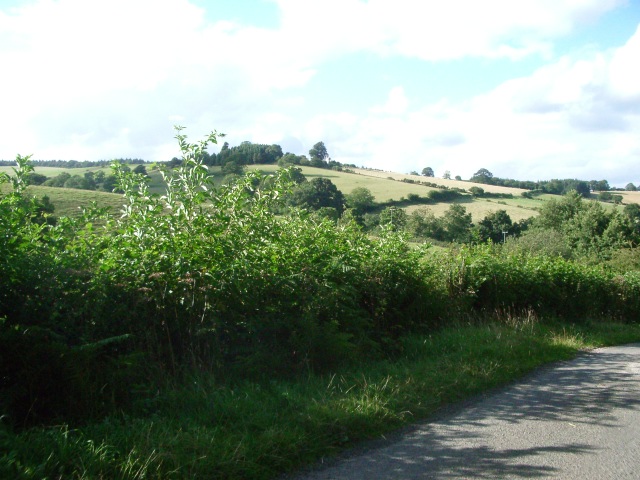
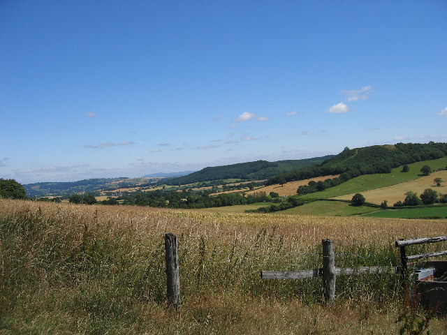
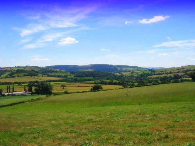
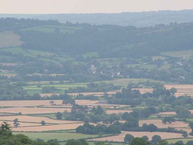
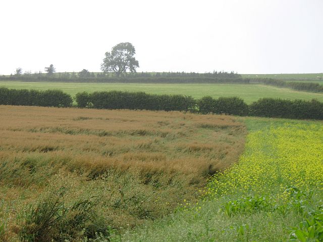
Vroning Coppice is a picturesque woodland located in Herefordshire, England. Covering an area of approximately 100 acres, it is a tranquil haven for nature enthusiasts and outdoor enthusiasts alike. The coppice is primarily composed of native broadleaf trees, such as oak, beech, and ash, which create a diverse and vibrant ecosystem.
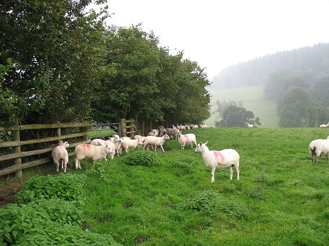
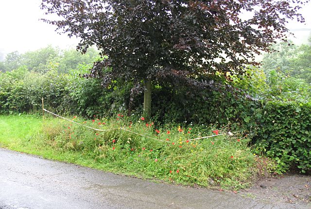
The woodland is known for its rich biodiversity, providing a habitat for a wide range of bird species, including woodpeckers, owls, and warblers. It is also home to various mammals, such as badgers, foxes, and deer, which can often be spotted roaming through the undergrowth. The forest floor is adorned with a colorful carpet of wildflowers, ferns, and mosses, adding to the enchanting atmosphere of the coppice.
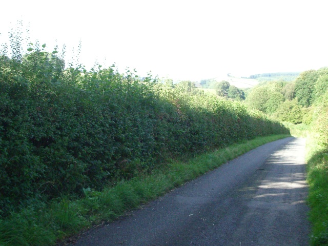
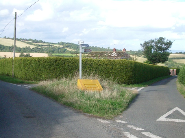
Vroning Coppice offers numerous walking trails and paths that wind their way through the ancient woodland, allowing visitors to explore its beauty at their own pace. There are also designated picnic areas and benches, providing opportunities for visitors to relax and enjoy the peaceful surroundings.
The coppice has a rich history, with evidence of human activity dating back centuries. In the past, it was used for timber production, and remnants of old saw pits and charcoal hearths can still be seen today. The woodland has since been carefully managed to preserve its natural beauty and ecological value.
Overall, Vroning Coppice in Herefordshire is a captivating woodland that offers a serene escape from the hustle and bustle of everyday life. Its stunning scenery, diverse wildlife, and well-maintained trails make it a popular destination for nature lovers and those seeking a peaceful retreat in the heart of the English countryside.
If you have any feedback on the listing, please let us know in the comments section below.
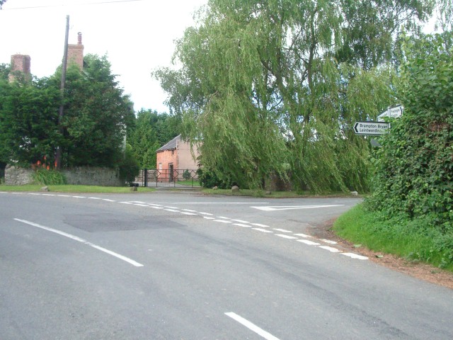
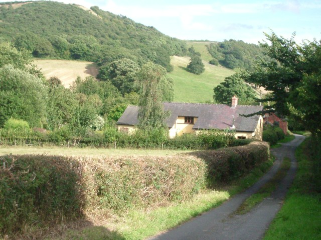
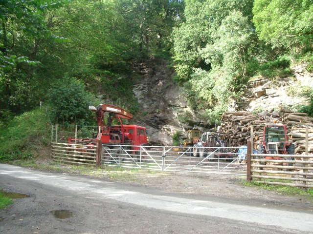
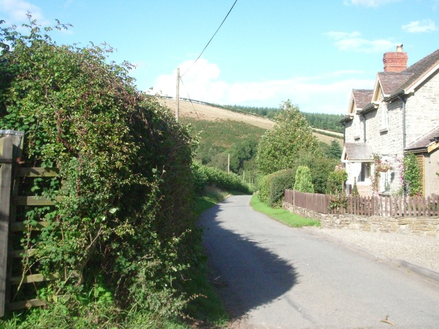
Vroning Coppice Images
Images are sourced within 2km of 52.3063/-2.957639 or Grid Reference SO3468. Thanks to Geograph Open Source API. All images are credited.

Vroning Coppice is located at Grid Ref: SO3468 (Lat: 52.3063, Lng: -2.957639)
Unitary Authority: County of Herefordshire
Police Authority: West Mercia
What 3 Words
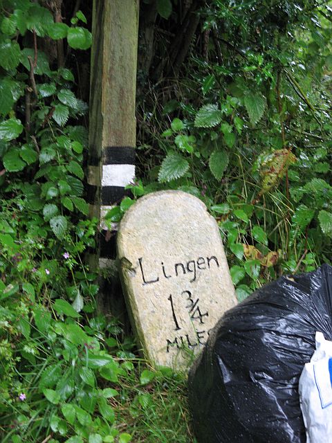
///widely.riots.finishers. Near Lingen, Herefordshire
Nearby Locations
Related Wikis

Willey, Herefordshire
Willey is a civil parish in Herefordshire, on the Welsh-English borders. The main source of employment is farming and there were a total of 61 residents...
Stapleton, Herefordshire
Stapleton is a small village and civil parish in Herefordshire near the border town of Presteigne in Wales. The parish borders on Willey, Kinsham and Presteigne...
Lingen, Herefordshire
Lingen is a village and civil parish, situated in the wooded hills of Herefordshire, England in the Welsh Marches near to the border with Wales and close...
Birtley, Herefordshire
Birtley is a hamlet in north Herefordshire, in England. It is situated to the west of Ludlow and Leominster, approximately 16 km (9.9 mi) from both towns...
Limebrook Priory
Limebrook Priory was a priory in Lingen, Herefordshire, England at grid reference SO37386604. == History == === Origins === Situated in Lingen, Herefordshire...
Kinsham
Kinsham is a civil parish which lies in the wooded hills of Herefordshire, England in the Marches near to the border with Wales, about 3 miles (5 km) east...

Stanage Park
Stanage Park is a Grade II* listed Welsh country house set in a large park located some 3 miles (4.8 km) east of Knighton, Powys near the settlement of...
Kinsham Grange
Kinsham Grange may have been a priory near the River Lugg in Herefordshire, England at grid reference SO380652. It now seems likely that an error by John...
Nearby Amenities
Located within 500m of 52.3063,-2.957639Have you been to Vroning Coppice?
Leave your review of Vroning Coppice below (or comments, questions and feedback).