Ash Coppice
Wood, Forest in Herefordshire
England
Ash Coppice
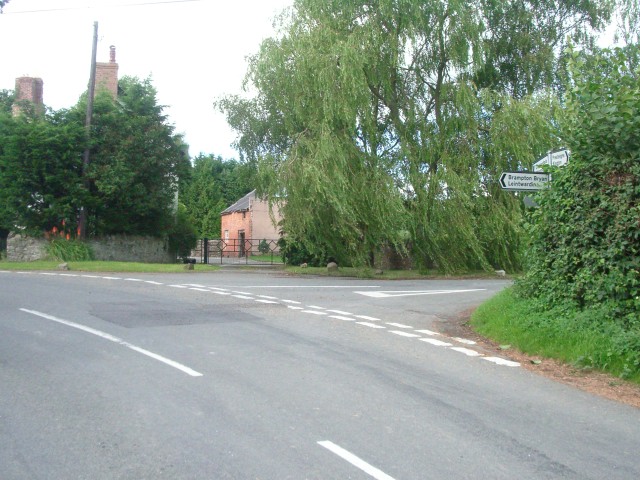
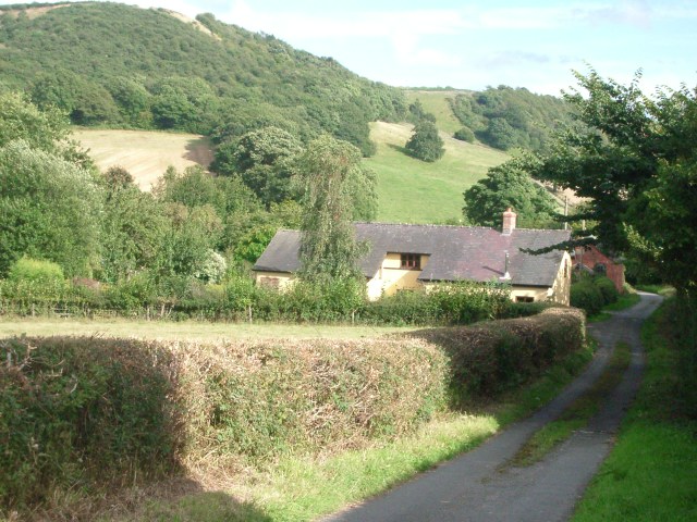
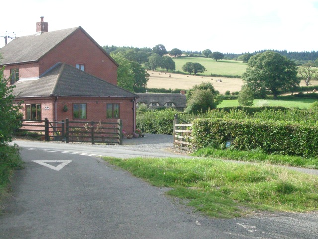
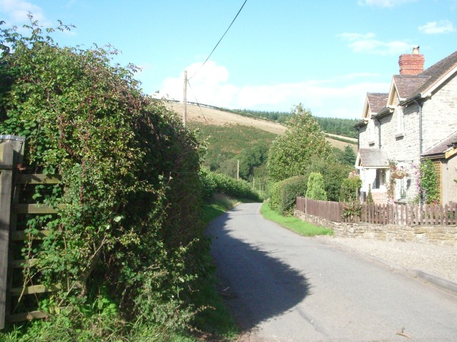
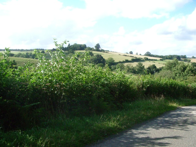
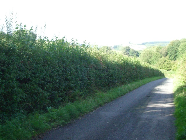
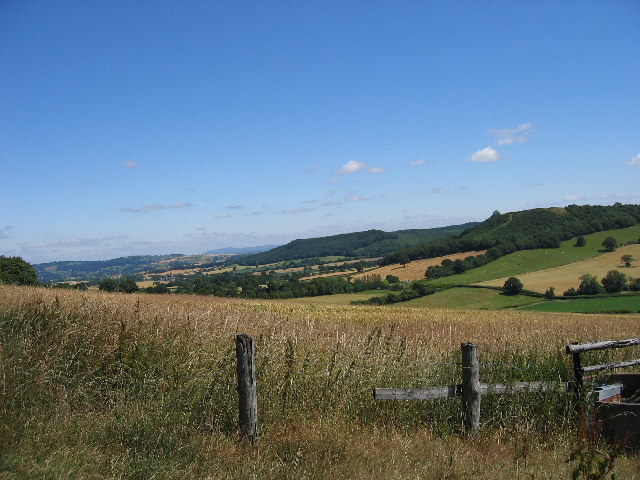
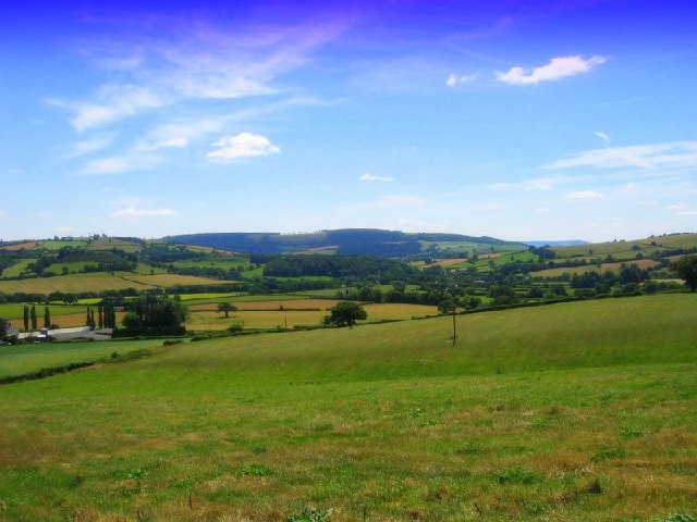
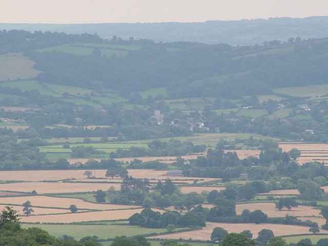
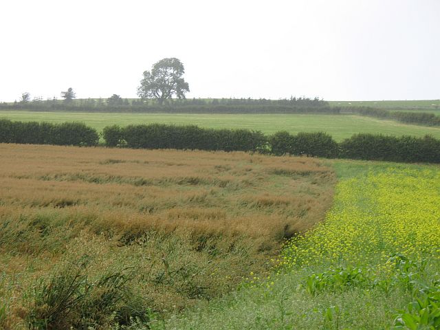
Ash Coppice is a small woodland area located in the county of Herefordshire, England. Covering approximately 50 acres, it is situated on the eastern side of the county, near the village of Ashperton. The coppice is primarily composed of ash trees, hence its name, but it also features a variety of other native tree species such as oak, birch, and beech.
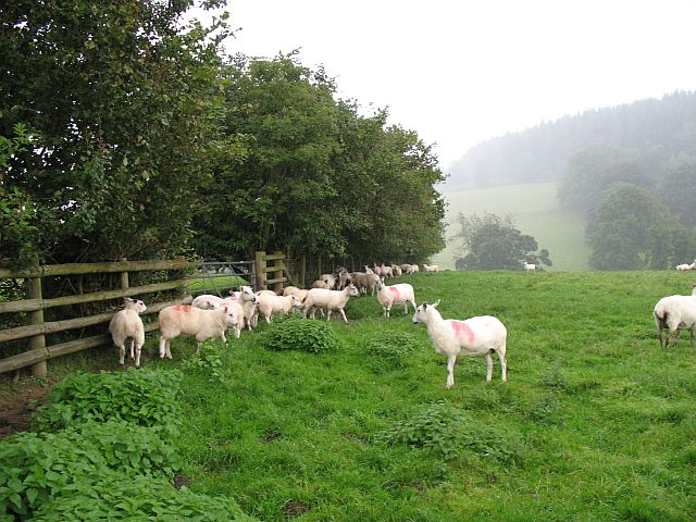
This woodland is known for its rich biodiversity and serves as an important habitat for many wildlife species. The dense canopy of trees provides a sheltered environment for a wide array of bird species, including woodpeckers, owls, and songbirds. Small mammals such as squirrels, badgers, and foxes can also be found within the coppice, along with numerous insect species.
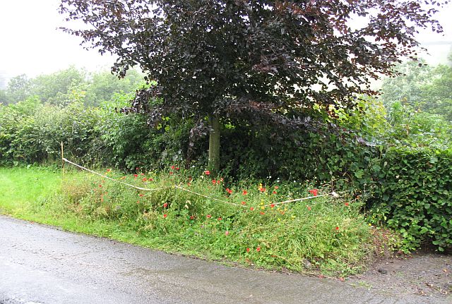
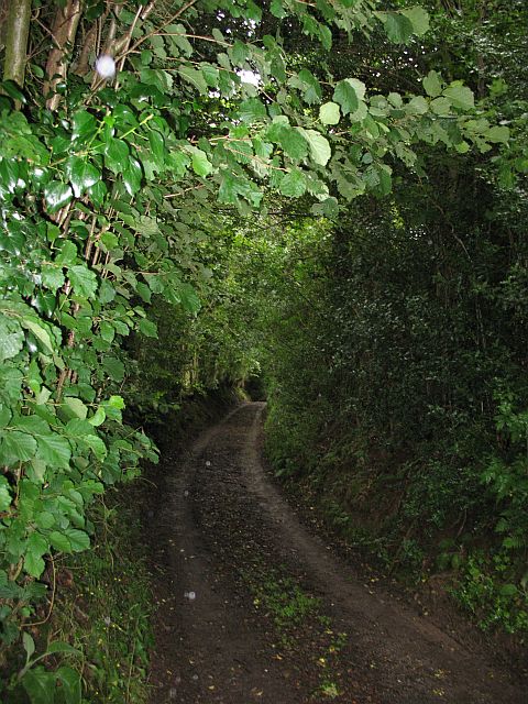
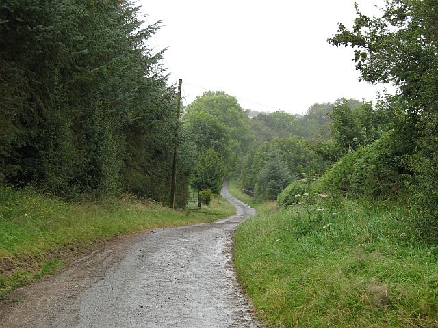
The woodland is crisscrossed by a network of footpaths, allowing visitors to explore its beauty and tranquility. These paths weave through the trees, offering glimpses of sunlight filtering through the leafy canopy and providing opportunities for nature enthusiasts to observe and appreciate the various flora and fauna.
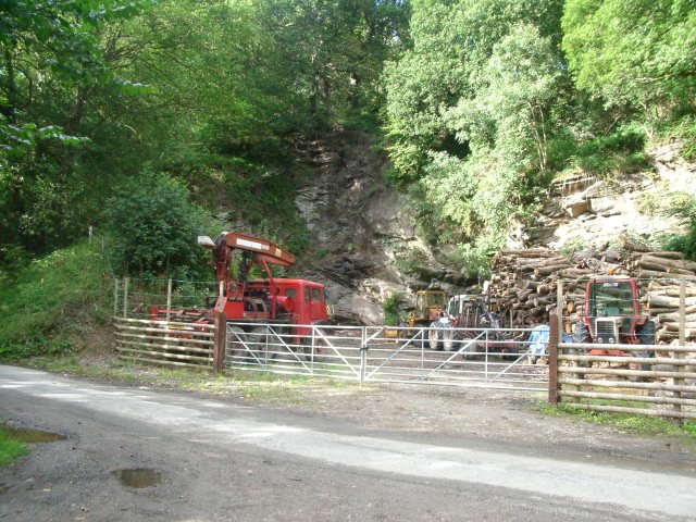
Ash Coppice has been managed sustainably for many years, with periodic selective tree cutting and thinning to promote healthy growth and maintain the woodland's ecological balance. This careful management ensures the continuation of the coppice's diverse ecosystem, while also providing a sustainable source of timber.
Overall, Ash Coppice is a captivating woodland that offers a peaceful retreat for nature lovers and provides a valuable habitat for a range of plant and animal species. Its natural beauty and ecological significance make it a popular destination for both locals and visitors to Herefordshire.
If you have any feedback on the listing, please let us know in the comments section below.
Ash Coppice Images
Images are sourced within 2km of 52.309951/-2.9564563 or Grid Reference SO3468. Thanks to Geograph Open Source API. All images are credited.

Ash Coppice is located at Grid Ref: SO3468 (Lat: 52.309951, Lng: -2.9564563)
Unitary Authority: County of Herefordshire
Police Authority: West Mercia
What 3 Words
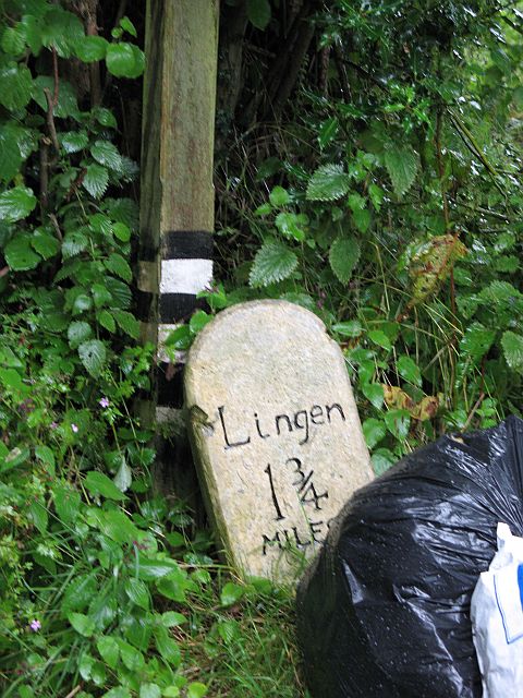
///broccoli.sweetener.lifestyle. Near Lingen, Herefordshire
Nearby Locations
Related Wikis

Willey, Herefordshire
Willey is a civil parish in Herefordshire, on the Welsh-English borders. The main source of employment is farming and there were a total of 61 residents...
Birtley, Herefordshire
Birtley is a hamlet in north Herefordshire, in England. It is situated to the west of Ludlow and Leominster, approximately 16 km (9.9 mi) from both towns...
Lingen, Herefordshire
Lingen is a village and civil parish, situated in the wooded hills of Herefordshire, England in the Welsh Marches near to the border with Wales and close...
Stapleton, Herefordshire
Stapleton is a small village and civil parish in Herefordshire near the border town of Presteigne in Wales. The parish borders on Willey, Kinsham and Presteigne...
Limebrook Priory
Limebrook Priory was a priory in Lingen, Herefordshire, England at grid reference SO37386604. == History == === Origins === Situated in Lingen, Herefordshire...

Stanage Park
Stanage Park is a Grade II* listed Welsh country house set in a large park located some 3 miles (4.8 km) east of Knighton, Powys near the settlement of...
Kinsham
Kinsham is a civil parish which lies in the wooded hills of Herefordshire, England in the Marches near to the border with Wales, about 3 miles (5 km) east...
Kinsham Grange
Kinsham Grange may have been a priory near the River Lugg in Herefordshire, England at grid reference SO380652. It now seems likely that an error by John...
Nearby Amenities
Located within 500m of 52.309951,-2.9564563Have you been to Ash Coppice?
Leave your review of Ash Coppice below (or comments, questions and feedback).