Wood Heads
Wood, Forest in Cumberland Copeland
England
Wood Heads
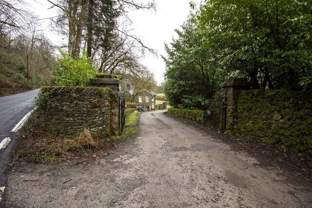
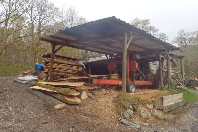
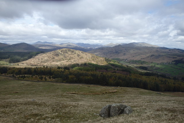
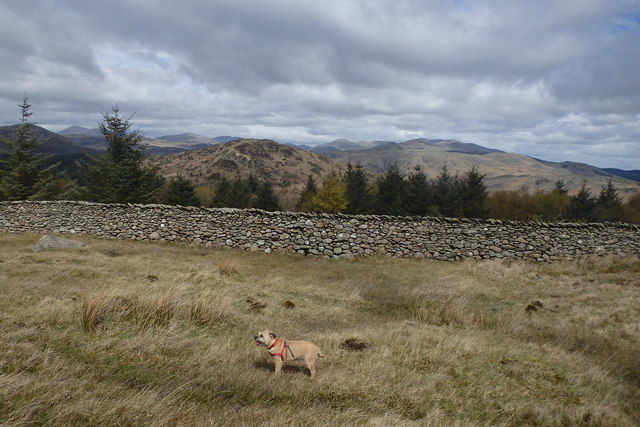
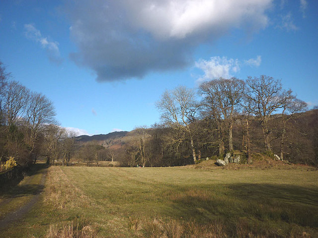
Wood Heads is a charming and picturesque village located in Cumberland, England. Situated amidst a dense forest, it is renowned for its abundant wood resources and breathtaking natural beauty. The village is nestled in a valley, surrounded by towering trees and lush greenery, making it an ideal destination for nature lovers and outdoor enthusiasts.
Wood Heads is a small and tight-knit community, with a population of approximately 500 residents. The village has managed to preserve its rustic charm and traditional character, with many of its buildings constructed using locally sourced timber. The houses in Wood Heads exhibit a distinct architectural style, characterized by their wooden facades and thatched roofs, blending seamlessly with the natural environment.
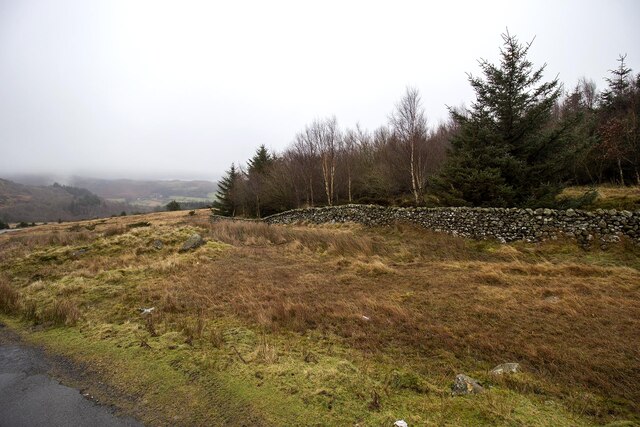
The forest surrounding Wood Heads offers a plethora of recreational activities for visitors and residents alike. The dense woodland provides ample opportunities for hiking, biking, and birdwatching. The area is also home to a variety of wildlife, including deer, foxes, and numerous species of birds.
In addition to its natural attractions, Wood Heads boasts a few amenities for its residents. The village has a small convenience store, a quaint country pub, and a primary school. For more extensive shopping or entertainment options, the nearby town of Cumberland is just a short drive away.
Wood Heads, Cumberland, is a captivating destination where one can escape the hustle and bustle of city life and immerse themselves in the tranquility of nature. With its scenic surroundings and close-knit community, it is a place that exudes the charm of a classic English village.
If you have any feedback on the listing, please let us know in the comments section below.
Wood Heads Images
Images are sourced within 2km of 54.295481/-3.2460024 or Grid Reference SD1989. Thanks to Geograph Open Source API. All images are credited.


Wood Heads is located at Grid Ref: SD1989 (Lat: 54.295481, Lng: -3.2460024)
Administrative County: Cumbria
District: Copeland
Police Authority: Cumbria
What 3 Words
///bulletins.went.boomed. Near Millom, Cumbria
Nearby Locations
Related Wikis

Duddon Valley
The Duddon Valley is a valley in the southern Lake District National Park in Cumbria, England. The River Duddon flows through the valley, rising in the...

Bank End
Bank End is a village in Cumbria, England. == External links == Media related to Bank End, South Lakeland at Wikimedia Commons

Duddon furnace
The Duddon furnace (Grid Reference SD 197883) is a surviving charcoal-fuelled blast furnace near Broughton-in-Furness in Cumbria. It is on the west side...

Duddon Bridge
Duddon Bridge is a hamlet in Cumbria, England. == References ==

Swinside
Swinside, which is also known as Sunkenkirk and Swineshead, is a stone circle lying beside Swinside Fell, part of Black Combe in southern Cumbria, North...

Broughton-in-Furness
Broughton in Furness is a market town in the civil parish of Broughton West in the Westmorland and Furness district of Cumbria, England. It had a population...

Dunnerdale Fells
Dunnerdale Fells is an upland area in the English Lake District, between Ulpha and Broughton Mills, Cumbria. It is the subject of a chapter of Wainwright...

St Mary Magdalene's Church, Broughton-in-Furness
St Mary Magdalene's Church is in Broughton-in-Furness, Cumbria, England. It is an active Anglican parish church in the deanery of Furness, the archdeaconry...
Nearby Amenities
Located within 500m of 54.295481,-3.2460024Have you been to Wood Heads?
Leave your review of Wood Heads below (or comments, questions and feedback).