The Strampets
Lake, Pool, Pond, Freshwater Marsh in Cumberland Copeland
England
The Strampets
The Strampets in Cumberland is a picturesque area encompassing a diverse range of freshwater habitats, including lakes, pools, ponds, and freshwater marshes. Located in the heart of Cumberland, this natural haven offers a tranquil escape for both locals and visitors alike.
The centerpiece of The Strampets is its expansive lake, which stretches across the landscape, reflecting the surrounding greenery and creating a stunning backdrop for outdoor activities. The lake is home to various species of fish, making it a popular spot for fishing enthusiasts to cast their lines and try their luck.
Surrounding the lake are smaller pools and ponds, each with its own unique ecosystem. These smaller bodies of water provide a habitat for numerous aquatic plants and animals, including water lilies, frogs, and dragonflies. Exploring the banks of these pools and ponds is a delight for nature enthusiasts, offering opportunities for bird-watching and discovering the intricate web of life thriving in and around the water.
The Strampets also boasts a vibrant freshwater marsh, which serves as a crucial habitat for a wide range of plant and animal species. This marshland is characterized by its lush vegetation, including reeds and grasses, which provide shelter and nesting sites for birds and other wildlife. It is a haven for wetland species such as herons, ducks, and turtles.
Visitors to The Strampets can enjoy a range of activities, from leisurely walks along the lakeside trails to picnicking in the shade of the surrounding trees. The serene atmosphere and diverse habitats of The Strampets make it a cherished natural gem in the Cumberland area, attracting nature enthusiasts, photographers, and families seeking a peaceful retreat in the heart of nature.
If you have any feedback on the listing, please let us know in the comments section below.
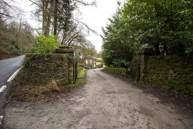
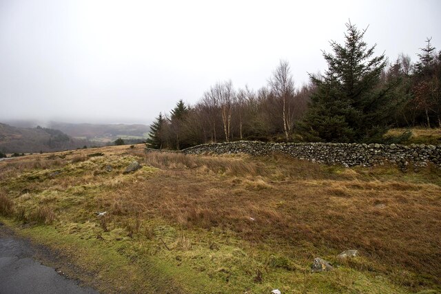
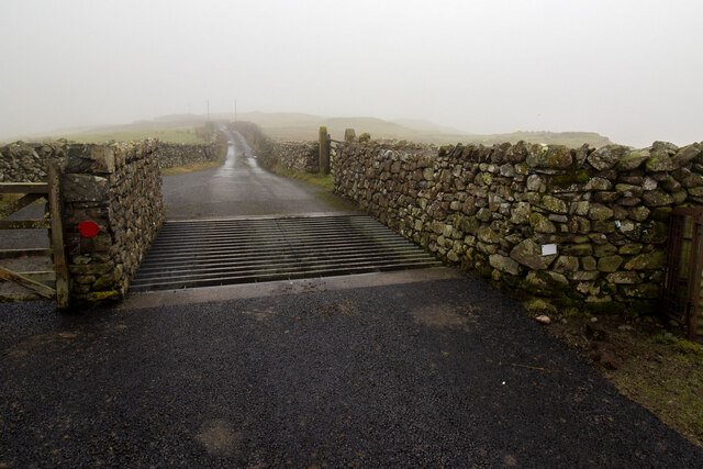
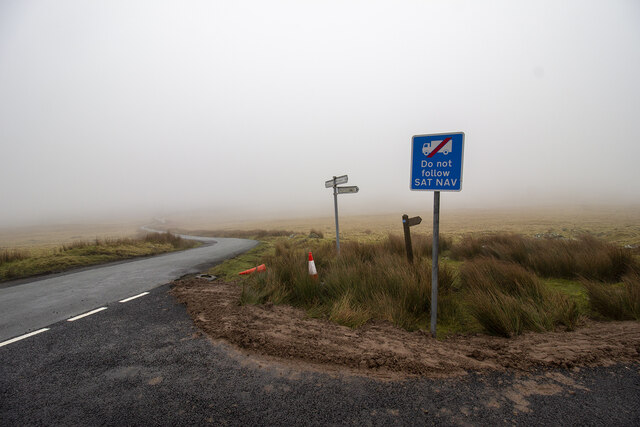
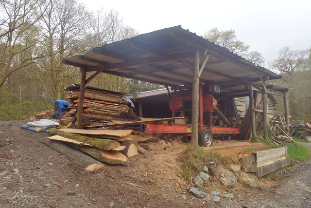
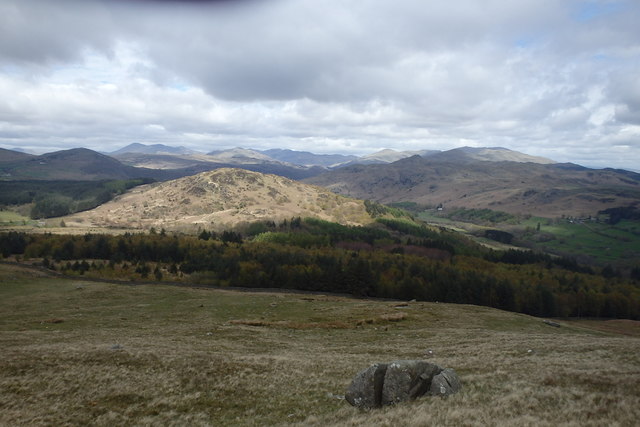
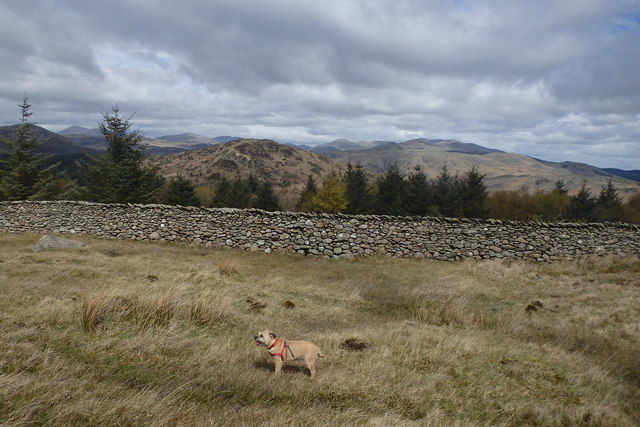
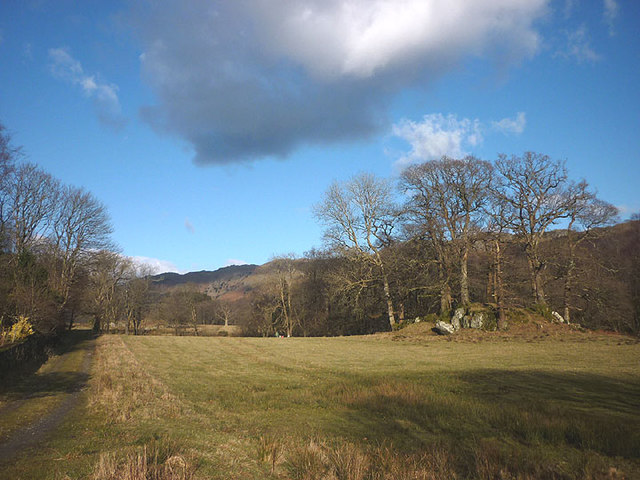
The Strampets Images
Images are sourced within 2km of 54.292331/-3.2376567 or Grid Reference SD1989. Thanks to Geograph Open Source API. All images are credited.


The Strampets is located at Grid Ref: SD1989 (Lat: 54.292331, Lng: -3.2376567)
Administrative County: Cumbria
District: Copeland
Police Authority: Cumbria
What 3 Words
///condiment.attending.messaging. Near Millom, Cumbria
Nearby Locations
Related Wikis

Duddon Valley
The Duddon Valley is a valley in the southern Lake District National Park in Cumbria, England. The River Duddon flows through the valley, rising in the...

Bank End
Bank End is a village in Cumbria, England. == External links == Media related to Bank End, South Lakeland at Wikimedia Commons

Duddon furnace
The Duddon furnace (Grid Reference SD 197883) is a surviving charcoal-fuelled blast furnace near Broughton-in-Furness in Cumbria. It is on the west side...

Duddon Bridge
Duddon Bridge is a hamlet in Cumbria, England. == References ==

Broughton-in-Furness
Broughton in Furness is a market town in the civil parish of Broughton West in the Westmorland and Furness district of Cumbria, England. It had a population...

St Mary Magdalene's Church, Broughton-in-Furness
St Mary Magdalene's Church is in Broughton-in-Furness, Cumbria, England. It is an active Anglican parish church in the deanery of Furness, the archdeaconry...

Broughton-in-Furness railway station
Broughton-in-Furness railway station served the market town of Broughton-in-Furness, in Lancashire, England (now in Cumbria). It was on the branch line...

Broughton Mills
Broughton Mills is a village in Cumbria, England, located 3.5 kilometres from the larger town of Broughton-in-furness. The village consists of about 40...
Nearby Amenities
Located within 500m of 54.292331,-3.2376567Have you been to The Strampets?
Leave your review of The Strampets below (or comments, questions and feedback).