Sheep Shank Wood
Wood, Forest in Lancashire South Lakeland
England
Sheep Shank Wood
Sheep Shank Wood is a charming woodland located in Lancashire, England. Covering an area of approximately 50 acres, it is nestled between the villages of Clitheroe and Whalley. The wood is part of the larger Forest of Bowland, an Area of Outstanding Natural Beauty.
As its name suggests, Sheep Shank Wood has a rich history closely associated with sheep farming. In the past, the wood served as a crucial shelter for sheep during inclement weather, hence its name. Today, it continues to be an essential habitat for a variety of wildlife, including birds, mammals, and insects.
The wood is predominantly composed of native broadleaf trees, such as oak, beech, and birch. These trees create a lush canopy, providing a haven for woodland flora and fauna. Bluebells, wood anemones, and wild garlic are just a few of the wildflowers that bloom in the wood, creating a vibrant and colorful display during the spring months.
Sheep Shank Wood offers an array of recreational opportunities for visitors. There are several well-marked walking trails that wind through the wood, allowing visitors to explore its beauty at their own pace. The wood is also a popular spot for nature enthusiasts, birdwatchers, and photographers, as it provides a tranquil and picturesque setting.
The management of the wood is overseen by the local council, ensuring its conservation and preservation for future generations to enjoy. Sheep Shank Wood is a cherished natural gem, attracting locals and tourists alike with its serene atmosphere and breathtaking scenery.
If you have any feedback on the listing, please let us know in the comments section below.
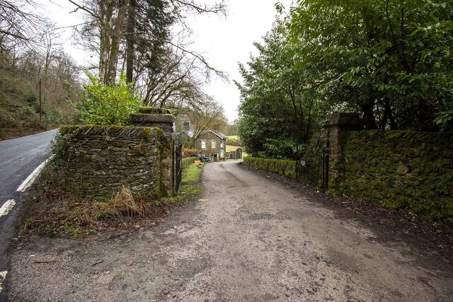
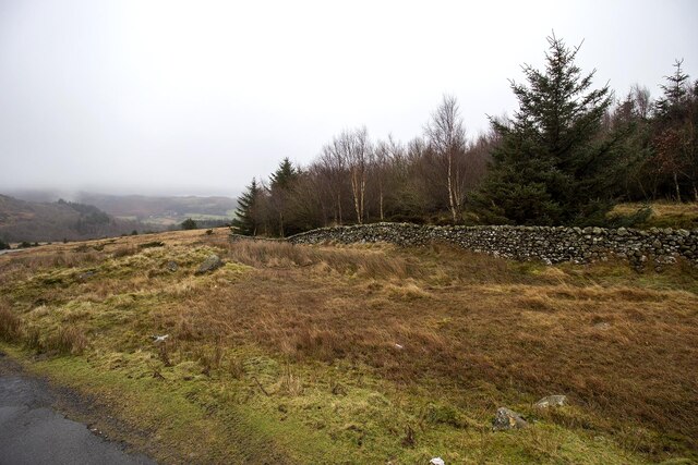
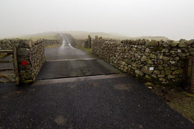
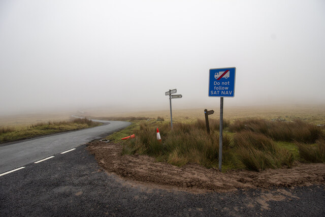
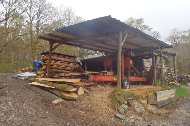
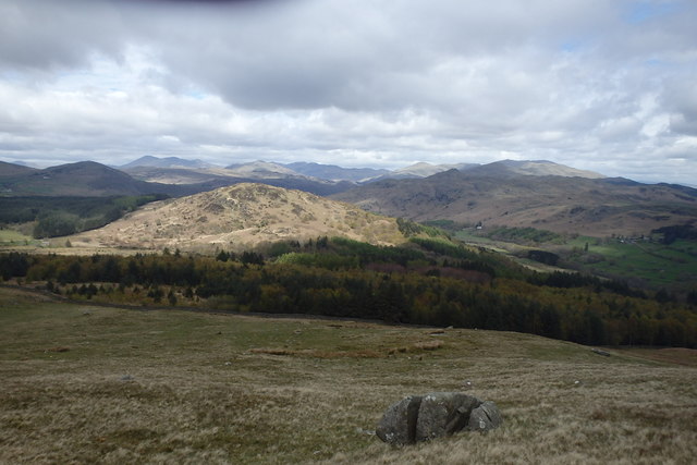
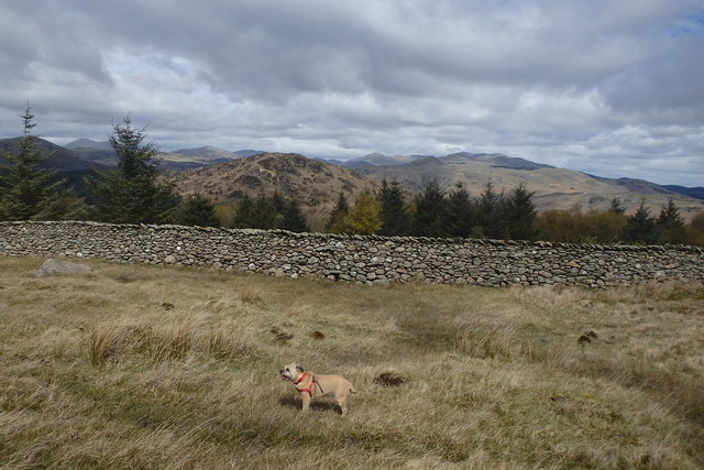
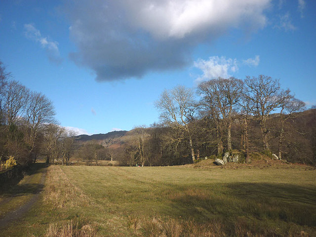
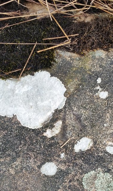
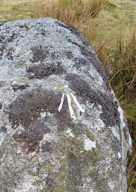
Sheep Shank Wood Images
Images are sourced within 2km of 54.291071/-3.2360979 or Grid Reference SD1989. Thanks to Geograph Open Source API. All images are credited.


Sheep Shank Wood is located at Grid Ref: SD1989 (Lat: 54.291071, Lng: -3.2360979)
Administrative County: Cumbria
District: South Lakeland
Police Authority: Cumbria
What 3 Words
///airliners.tasty.grins. Near Millom, Cumbria
Nearby Locations
Related Wikis

Bank End
Bank End is a village in Cumbria, England. == External links == Media related to Bank End, South Lakeland at Wikimedia Commons

Duddon Valley
The Duddon Valley is a valley in the southern Lake District National Park in Cumbria, England. The River Duddon flows through the valley, rising in the...

Duddon furnace
The Duddon furnace (Grid Reference SD 197883) is a surviving charcoal-fuelled blast furnace near Broughton-in-Furness in Cumbria. It is on the west side...

Duddon Bridge
Duddon Bridge is a hamlet in Cumbria, England. == References ==

Broughton-in-Furness
Broughton in Furness is a market town in the civil parish of Broughton West in the Westmorland and Furness district of Cumbria, England. It had a population...

St Mary Magdalene's Church, Broughton-in-Furness
St Mary Magdalene's Church is in Broughton-in-Furness, Cumbria, England. It is an active Anglican parish church in the deanery of Furness, the archdeaconry...

Broughton-in-Furness railway station
Broughton-in-Furness railway station served the market town of Broughton-in-Furness, in Lancashire, England (now in Cumbria). It was on the branch line...

Broughton Mills
Broughton Mills is a village in Cumbria, England, located 3.5 kilometres from the larger town of Broughton-in-furness. The village consists of about 40...
Nearby Amenities
Located within 500m of 54.291071,-3.2360979Have you been to Sheep Shank Wood?
Leave your review of Sheep Shank Wood below (or comments, questions and feedback).