High Wood
Wood, Forest in Cumberland Copeland
England
High Wood
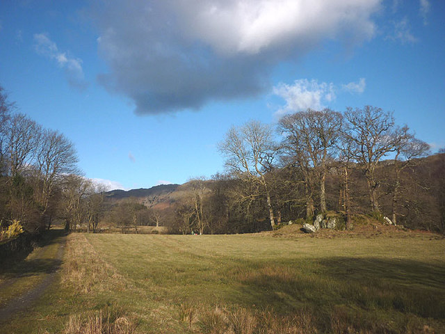
High Wood is a dense forest located in the county of Cumberland in England. Covering an area of approximately 500 acres, it is a significant natural landmark in the region. The wood is predominantly composed of deciduous trees, such as oak, beech, and ash, creating a rich and diverse ecosystem.
The forest is known for its varied wildlife, including a range of bird species, small mammals, and insects. It provides a suitable habitat for many woodland creatures, offering shelter, food, and protection. The wood is also home to several rare and protected species, such as the red squirrel and the lesser spotted woodpecker, making it an important conservation area.
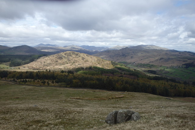
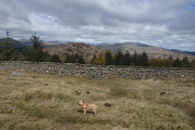
High Wood is a popular destination for nature enthusiasts, hikers, and birdwatchers. It offers numerous scenic trails and pathways, allowing visitors to explore its beauty and immerse themselves in the tranquility of nature. The woodland also attracts photographers and artists, drawn to its picturesque landscapes and vibrant flora and fauna.
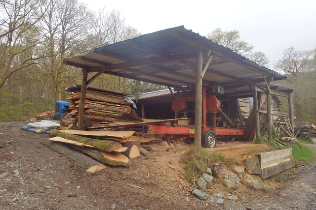
Throughout history, High Wood has played a role in the local economy. In the past, it served as a source of timber for building and fuel, contributing to the region's industrial development. Today, sustainable forestry practices are implemented to maintain the wood's ecological balance while still providing a limited supply of timber.
High Wood, Cumberland, is not only a natural treasure but also a vital part of the local community. Its beauty, biodiversity, and recreational opportunities make it a cherished destination for both residents and visitors alike.
If you have any feedback on the listing, please let us know in the comments section below.
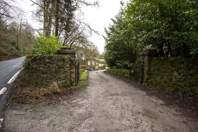
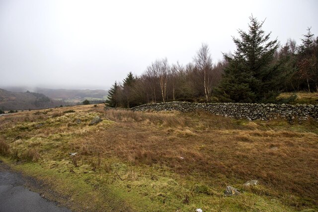
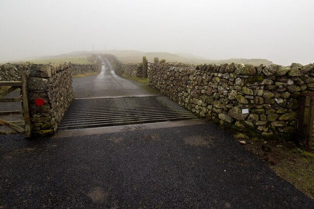
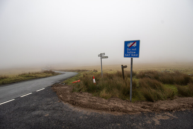
High Wood Images
Images are sourced within 2km of 54.294637/-3.2433034 or Grid Reference SD1989. Thanks to Geograph Open Source API. All images are credited.


High Wood is located at Grid Ref: SD1989 (Lat: 54.294637, Lng: -3.2433034)
Administrative County: Cumbria
District: Copeland
Police Authority: Cumbria
What 3 Words
///plums.prancing.tone. Near Millom, Cumbria
Nearby Locations
Related Wikis

Duddon Valley
The Duddon Valley is a valley in the southern Lake District National Park in Cumbria, England. The River Duddon flows through the valley, rising in the...

Bank End
Bank End is a village in Cumbria, England. == External links == Media related to Bank End, South Lakeland at Wikimedia Commons

Duddon furnace
The Duddon furnace (Grid Reference SD 197883) is a surviving charcoal-fuelled blast furnace near Broughton-in-Furness in Cumbria. It is on the west side...

Duddon Bridge
Duddon Bridge is a hamlet in Cumbria, England. == References ==

Swinside
Swinside, which is also known as Sunkenkirk and Swineshead, is a stone circle lying beside Swinside Fell, part of Black Combe in southern Cumbria, North...

Broughton-in-Furness
Broughton in Furness is a market town in the civil parish of Broughton West in the Westmorland and Furness district of Cumbria, England. It had a population...

St Mary Magdalene's Church, Broughton-in-Furness
St Mary Magdalene's Church is in Broughton-in-Furness, Cumbria, England. It is an active Anglican parish church in the deanery of Furness, the archdeaconry...

Dunnerdale Fells
Dunnerdale Fells is an upland area in the English Lake District, between Ulpha and Broughton Mills, Cumbria. It is the subject of a chapter of Wainwright...
Nearby Amenities
Located within 500m of 54.294637,-3.2433034Have you been to High Wood?
Leave your review of High Wood below (or comments, questions and feedback).