Low Wood

Wood, Forest in Cumberland Copeland

England

Low Wood

Entrance to Duddon Hall
Entrance to Duddon Hall Credit: P Gaskell

Low Wood is a small village located in the county of Cumberland, in the northwest of England. The village is nestled within the picturesque Lake District National Park, renowned for its stunning natural beauty and abundance of forests and lakes. Low Wood itself is characterized by its dense woodland, making it an ideal destination for nature lovers and outdoor enthusiasts.

The village is situated on the shores of a peaceful lake, providing residents and visitors with breathtaking views and opportunities for water-based activities, such as boating and fishing. The surrounding forest is home to a diverse range of flora and fauna, including ancient oak trees and various species of birds and wildlife.

Low Wood is a close-knit community, with a small population of residents who enjoy a tranquil and idyllic lifestyle. The village offers a range of amenities, including a local pub, a small convenience store, and a primary school. However, for more extensive services, residents often venture into the nearby town of Keswick, which is approximately 10 miles away.

The village attracts a steady stream of tourists throughout the year, who come to experience the beauty of the Lake District and explore the numerous walking and hiking trails that crisscross the area. Additionally, Low Wood serves as a gateway to other popular tourist destinations in the region, such as Derwentwater and Bassenthwaite Lake.

Overall, Low Wood, Cumberland is a charming village surrounded by stunning natural landscapes, making it a haven for those seeking tranquility and a deep connection with nature.

If you have any feedback on the listing, please let us know in the comments section below.
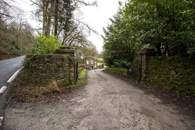
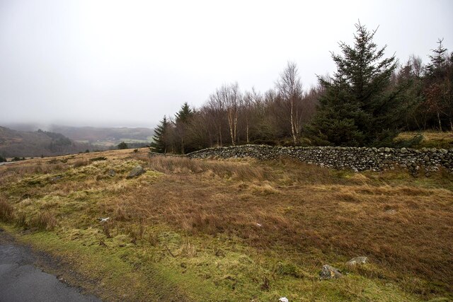
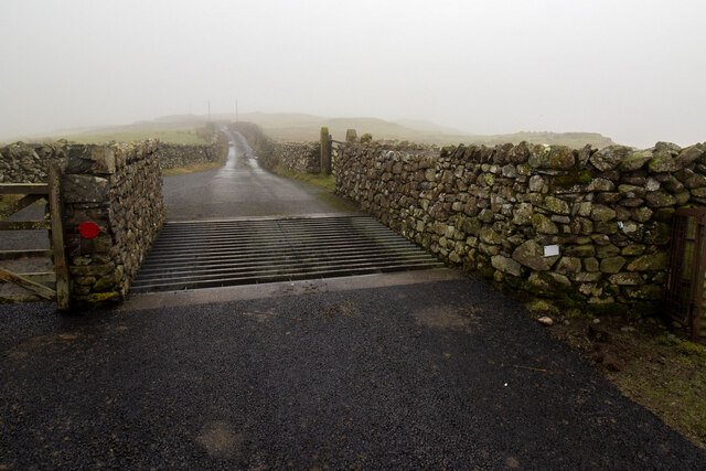
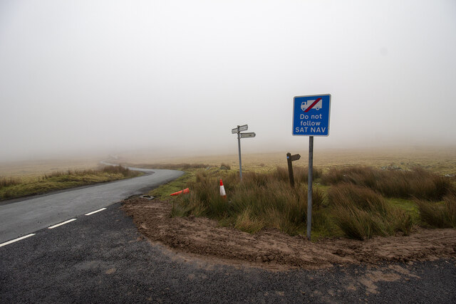
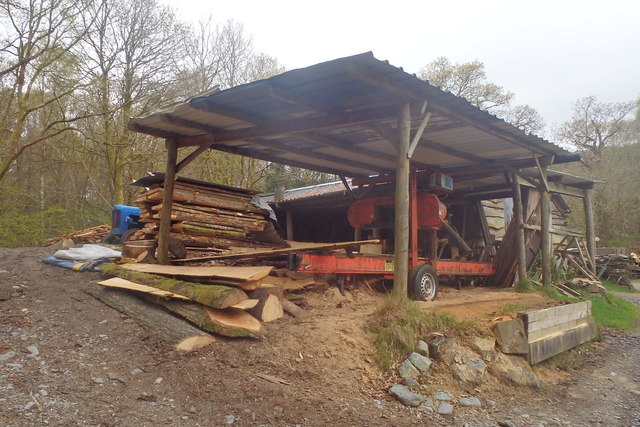
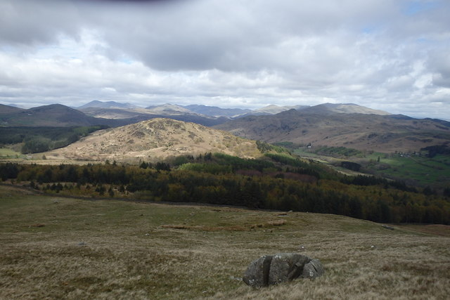
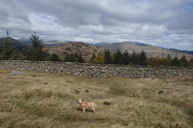
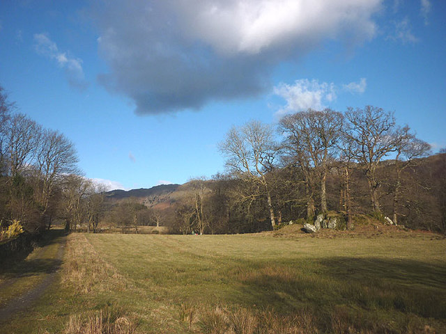
Low Wood Images

Images are sourced within 2km of 54.291858/-3.2408536 or Grid Reference SD1989. Thanks to Geograph Open Source API. All images are credited.

Entrance to Duddon Hall
Smallthwaite Plantation
Cattle Grid
Cattle Grid
Road Junction
Road Junction
Recent felling on Coops Wood has opened up a view of the bridge over the Duddon
Sawmill at Beckfoot On The edge of the hamlet of Beckfoot on the delightful Ulpha Park path.
Sawmill at Beckfoot
On The edge of the hamlet of Beckfoot on the delightful Ulpha Park path.
Bluebells, Furnace Wood In deepest Duddon
Bluebells, Furnace Wood
In deepest Duddon
Dry Tarn, Barrow The drought has dried up this tiny tarn. I suspect it is the same as <a href="https://www.geograph.org.uk/photo/3741119">SD1888 : Small tarn on Barrow</a>
Dry Tarn, Barrow
The drought has dried up this tiny tarn. I suspect it is the same as SD1888 : Small tarn on Barrow
Ascending Barrow Looking towards the Duddon estuary
Ascending Barrow
Looking towards the Duddon estuary
On Barrow A rarely frequented top
On Barrow
A rarely frequented top
On Barrow Looks like the top
On Barrow
Looks like the top
Descending Barrow Penn, our next objective in shot
Descending Barrow
Penn, our next objective in shot
Forest Edge Under Barrow
Forest Edge
Under Barrow
Duddon iron furnace (disused) A charcoal burning blast furnace dating from 1736. Isaac Wilkinson's cylinder bellows powered by water were first applied here. It is a Scheduled Ancient Monument but is temporarily closed to the public while structural issues are considered. There is a good view from the bridleway that goes past the site.
Duddon iron furnace (disused)
A charcoal burning blast furnace dating from 1736. Isaac Wilkinson's cylinder bellows powered by water were first applied here. It is a Scheduled Ancient Monument but is temporarily closed to the public while structural issues are considered. There is a good view from the bridleway that goes past the site.
Pasture by the Duddon The track from Beckfoot skirts this on the west with the Duddon flowing to Rawfold Bridge on the right.
Pasture by the Duddon
The track from Beckfoot skirts this on the west with the Duddon flowing to Rawfold Bridge on the right.
Pivot type mark This Pivot style mark can be found on the SE parapet of the bridge.
Pivot type mark
This Pivot style mark can be found on the SE parapet of the bridge.
Ordnance Survey Rivet This OS rivet can be found on a boulder NE side of the road. It marks a point 128.778m above mean sea level.
Ordnance Survey Rivet
This OS rivet can be found on a boulder NE side of the road. It marks a point 128.778m above mean sea level.
Ordnance Survey Pivot This OS pivot can be found on a boulder north side of the road. It marks a point 151.068m above mean sea level.
Ordnance Survey Pivot
This OS pivot can be found on a boulder north side of the road. It marks a point 151.068m above mean sea level.
Show me another place!

Low Wood is located at Grid Ref: SD1989 (Lat: 54.291858, Lng: -3.2408536)

Administrative County: Cumbria

District: Copeland

Police Authority: Cumbria

What 3 Words

///laminated.served.stores. Near Millom, Cumbria

Related Wikis

Nearby Amenities

Located within 500m of 54.291858,-3.2408536
Barrier: bollard
Lat/Long: 54.295723/-3.241371
Barrier: bollard
Lat/Long: 54.2957216/-3.2412085
Barrier: bollard
Lat/Long: 54.2956743/-3.2412285
The data included in this document is from www.openstreetmap.org. The data is made available under ODbL.

Have you been to Low Wood?

Leave your review of Low Wood below (or comments, questions and feedback).