Ashhouse Wood

Wood, Forest in Cumberland Copeland

England

Ashhouse Wood

A595 at Buckman Brow
A595 at Buckman Brow Credit: Colin Pyle

Ashhouse Wood is a dense forest located in the picturesque county of Cumberland, in the northwestern region of England. Covering an area of approximately 500 acres, the wood is a haven for nature enthusiasts and hikers alike. It is situated just a few miles away from the quaint village of Cumberland, making it easily accessible for visitors.

The wood is predominantly composed of ash trees, which give it its name, but it also boasts a diverse range of other tree species including oak, birch, and beech. The dense canopy created by these towering trees provides shelter and habitat for a plethora of wildlife, making it an ideal spot for birdwatching and wildlife spotting.

Several well-marked trails wind their way through the wood, offering visitors the opportunity to explore its beauty at their own pace. These paths lead to hidden glades, babbling brooks, and peaceful clearings, providing a serene and tranquil experience for those seeking solace in nature.

Ashhouse Wood is also home to a wide variety of flora, with carpets of bluebells and wild garlic adorning the forest floor in the springtime. The wood's rich biodiversity has earned it the designation of a Site of Special Scientific Interest, ensuring its protection and conservation for future generations to enjoy.

In addition to its natural beauty, Ashhouse Wood also has a rich historical significance. It is believed to have been used as a hunting ground by the ancient Romans, and remnants of their occupation can still be found within the wood, including traces of an old Roman road.

Overall, Ashhouse Wood is a captivating and unspoiled woodland, offering visitors a chance to immerse themselves in the beauty of nature while exploring its rich history.

If you have any feedback on the listing, please let us know in the comments section below.

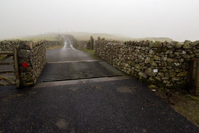
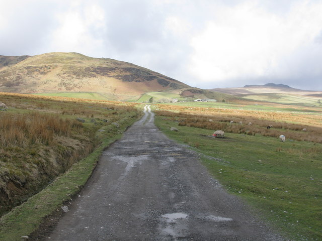
Ashhouse Wood Images

Images are sourced within 2km of 54.277455/-3.24039 or Grid Reference SD1987. Thanks to Geograph Open Source API. All images are credited.

A595 at Buckman Brow
Cattle Grid
Cattle Grid
Recent felling on Coops Wood has opened up a view of the bridge over the Duddon
Ordnance Survey Cut Mark This OS cut mark can be found adjacent to the letter box at Broadgate. It marks a point 107.274m above mean sea level.
Ordnance Survey Cut Mark
This OS cut mark can be found adjacent to the letter box at Broadgate. It marks a point 107.274m above mean sea level.
Ordnance Survey Cut Mark This OS cut mark can be found on a large rock to the west of the track.
Ordnance Survey Cut Mark
This OS cut mark can be found on a large rock to the west of the track.
Bluebells, Furnace Wood In deepest Duddon
Bluebells, Furnace Wood
In deepest Duddon
Dry Tarn, Barrow The drought has dried up this tiny tarn. I suspect it is the same as <a href="https://www.geograph.org.uk/photo/3741119">SD1888 : Small tarn on Barrow</a>
Dry Tarn, Barrow
The drought has dried up this tiny tarn. I suspect it is the same as SD1888 : Small tarn on Barrow
Ascending Barrow Looking towards the Duddon estuary
Ascending Barrow
Looking towards the Duddon estuary
On Barrow A rarely frequented top
On Barrow
A rarely frequented top
On Barrow Looks like the top
On Barrow
Looks like the top
Duddon iron furnace (disused) A charcoal burning blast furnace dating from 1736. Isaac Wilkinson's cylinder bellows powered by water were first applied here. It is a Scheduled Ancient Monument but is temporarily closed to the public while structural issues are considered. There is a good view from the bridleway that goes past the site.
Duddon iron furnace (disused)
A charcoal burning blast furnace dating from 1736. Isaac Wilkinson's cylinder bellows powered by water were first applied here. It is a Scheduled Ancient Monument but is temporarily closed to the public while structural issues are considered. There is a good view from the bridleway that goes past the site.
Pivot type mark This Pivot style mark can be found on the SE parapet of the bridge.
Pivot type mark
This Pivot style mark can be found on the SE parapet of the bridge.
Start of the track to the Swinside Stone Circle The track branching off to the left leads to the Stone Circle and Swinside Farm.
Start of the track to the Swinside Stone Circle
The track branching off to the left leads to the Stone Circle and Swinside Farm.
Track to the Swinside Stone Circle A rough track which also leads to Swinside Farm. Swinside Fell is in the background.
Track to the Swinside Stone Circle
A rough track which also leads to Swinside Farm. Swinside Fell is in the background.
Ordnance Survey Flush Bracket (G3075) This OS Flush Bracket can be found on a roadside building at Duddon Bridge Farm. It marks a point 10.398m above mean sea level.
Ordnance Survey Flush Bracket (G3075)
This OS Flush Bracket can be found on a roadside building at Duddon Bridge Farm. It marks a point 10.398m above mean sea level.
Ordnance Survey Cut Mark This OS cut mark can be found on a rock face west side of the road. It marks a point 31.425m above mean sea level.
Ordnance Survey Cut Mark
This OS cut mark can be found on a rock face west side of the road. It marks a point 31.425m above mean sea level.
Ordnance Survey Cut Mark This OS cut mark can be found on the large boulder in the wall SE side of the road. It marks a point 99.048m above mean sea level.
Ordnance Survey Cut Mark
This OS cut mark can be found on the large boulder in the wall SE side of the road. It marks a point 99.048m above mean sea level.
Ordnance Survey OSBM Bolt This OS Bolt can be found on the large boulder at the side of the barn at Low Broadgate. It marks a point 81.764m above mean sea level.
Ordnance Survey OSBM Bolt
This OS Bolt can be found on the large boulder at the side of the barn at Low Broadgate. It marks a point 81.764m above mean sea level.
Show me another place!

Ashhouse Wood is located at Grid Ref: SD1987 (Lat: 54.277455, Lng: -3.24039)

Administrative County: Cumbria

District: Copeland

Police Authority: Cumbria

What 3 Words

///grove.moons.easels. Near Millom, Cumbria

Related Wikis

Nearby Amenities

Located within 500m of 54.277455,-3.24039
Barrier: stile
Lat/Long: 54.2755965/-3.2436943
Barrier: stile
Lat/Long: 54.275162/-3.2451497
Ford: yes
Lat/Long: 54.2816216/-3.2379286
Material: wood
Power: pole
Lat/Long: 54.2744703/-3.235027
Material: wood
Power: pole
Lat/Long: 54.275197/-3.2343082
Material: wood
Power: pole
Lat/Long: 54.2760396/-3.2334606
Material: wood
Power: pole
Lat/Long: 54.2751688/-3.2348768
Parking
Parking: street_side
Lat/Long: 54.2783651/-3.2368316
Ash House
Place: locality
Lat/Long: 54.275143/-3.246237
Holme
Place: locality
Lat/Long: 54.2754782/-3.2355033
Pikewell
Place: locality
Lat/Long: 54.2802801/-3.2368107
Abandoned: yes
Man Made: mineshaft
Lat/Long: 54.2789695/-3.238382
The Mount
Ele: 151
Natural: peak
Lat/Long: 54.2740248/-3.2424974
Power: pole
Lat/Long: 54.2755898/-3.2469687
Power: pole
Lat/Long: 54.2761804/-3.2464817
Power: pole
Lat/Long: 54.2769268/-3.2458495
Power: pole
Lat/Long: 54.2776915/-3.245178
Power: pole
Lat/Long: 54.2784649/-3.2444813
Power: pole
Lat/Long: 54.2751537/-3.2466901
Power: pole
Lat/Long: 54.2758495/-3.2471467
The data included in this document is from www.openstreetmap.org. The data is made available under ODbL.

Have you been to Ashhouse Wood?

Leave your review of Ashhouse Wood below (or comments, questions and feedback).