Lower Ormsgill Reservoir
Lake, Pool, Pond, Freshwater Marsh in Lancashire Barrow-in-Furness
England
Lower Ormsgill Reservoir

Lower Ormsgill Reservoir is a freshwater lake located in Lancashire, England. It is situated in the Ormsgill area, near Barrow-in-Furness. The reservoir serves as a crucial source of drinking water for the local community and is managed by the local water authority.
Covering an area of approximately 10 hectares, Lower Ormsgill Reservoir is a man-made body of water created by damming a natural stream. The reservoir is surrounded by picturesque greenery and offers stunning views of the surrounding hills and countryside.
The lake is popular among anglers, as it is well-stocked with a variety of fish species, including trout, perch, and roach. Fishing permits are required to fish in the reservoir, and there are designated areas for anglers to set up their equipment.
Lower Ormsgill Reservoir also provides a habitat for various bird species, making it a haven for birdwatchers. Common sightings include herons, swans, and various species of ducks. The surrounding marshland supports a diverse range of plant life, including reeds, rushes, and water lilies.
The reservoir is a peaceful and tranquil spot, attracting visitors who enjoy walking, picnicking, and simply immersing themselves in nature. There are well-maintained footpaths around the lake, allowing visitors to explore the area and enjoy the scenic beauty.
Overall, Lower Ormsgill Reservoir is a delightful destination for nature lovers, anglers, and those seeking solace in the serene surroundings of Lancashire's countryside.
If you have any feedback on the listing, please let us know in the comments section below.
Lower Ormsgill Reservoir Images
Images are sourced within 2km of 54.126201/-3.2337854 or Grid Reference SD1970. Thanks to Geograph Open Source API. All images are credited.


Lower Ormsgill Reservoir is located at Grid Ref: SD1970 (Lat: 54.126201, Lng: -3.2337854)
Administrative County: Cumbria
District: Barrow-in-Furness
Police Authority: Cumbria
What 3 Words
///long.define.sung. Near Barrow in Furness, Cumbria
Nearby Locations
Related Wikis
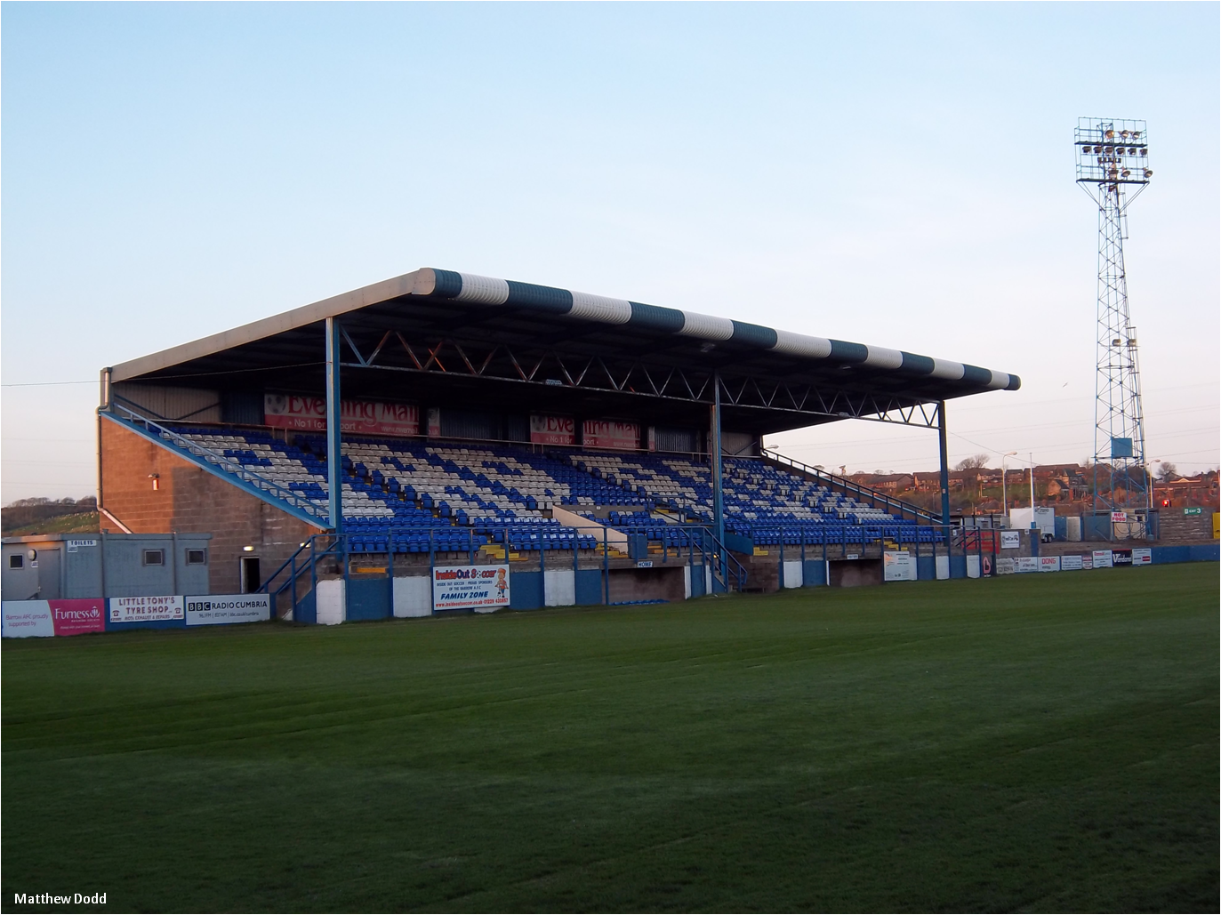
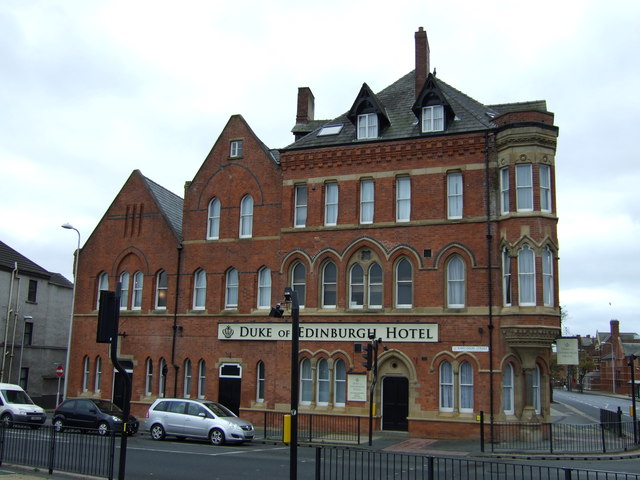
Holker Street
Holker Street (known as the SO Legal Stadium for sponsorship purposes) is a sports stadium in Barrow-in-Furness, Cumbria, England. As well as being a football...

Stollers
Stollers is a British-based home furnishings retailer. It is located at Walney Road, Barrow-in-Furness, Cumbria, England. It is currently one of the largest...
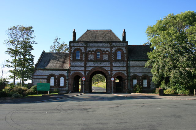
Thorncliffe Cemetery and Crematorium
Thorncliffe Cemetery and Crematorium (also known as 'Barrow Cemetery/Crematorium') is a 66-acre graveyard located on Devonshire Road in the Ormsgill ward...
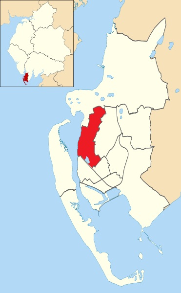
Ormsgill
Ormsgill is an area and ward of Barrow-in-Furness, Cumbria, England. It is bordered by Hindpool, Parkside, Hawcoat, Roanhead and Walney Channel. The population...
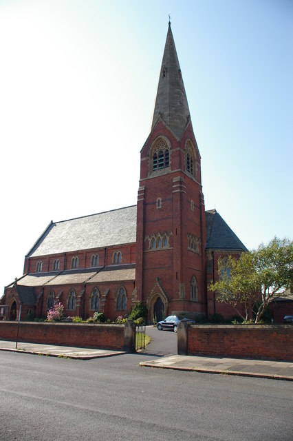
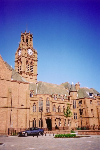
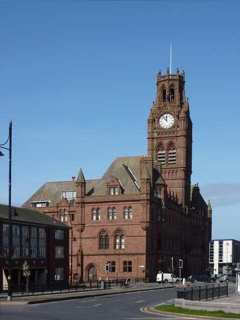
St. James' Church, Barrow-in-Furness
St. James Church located on Blake Street in Barrow-in-Furness, belongs to the Church of England's Diocese of Carlisle within the ecclesiastical Province...
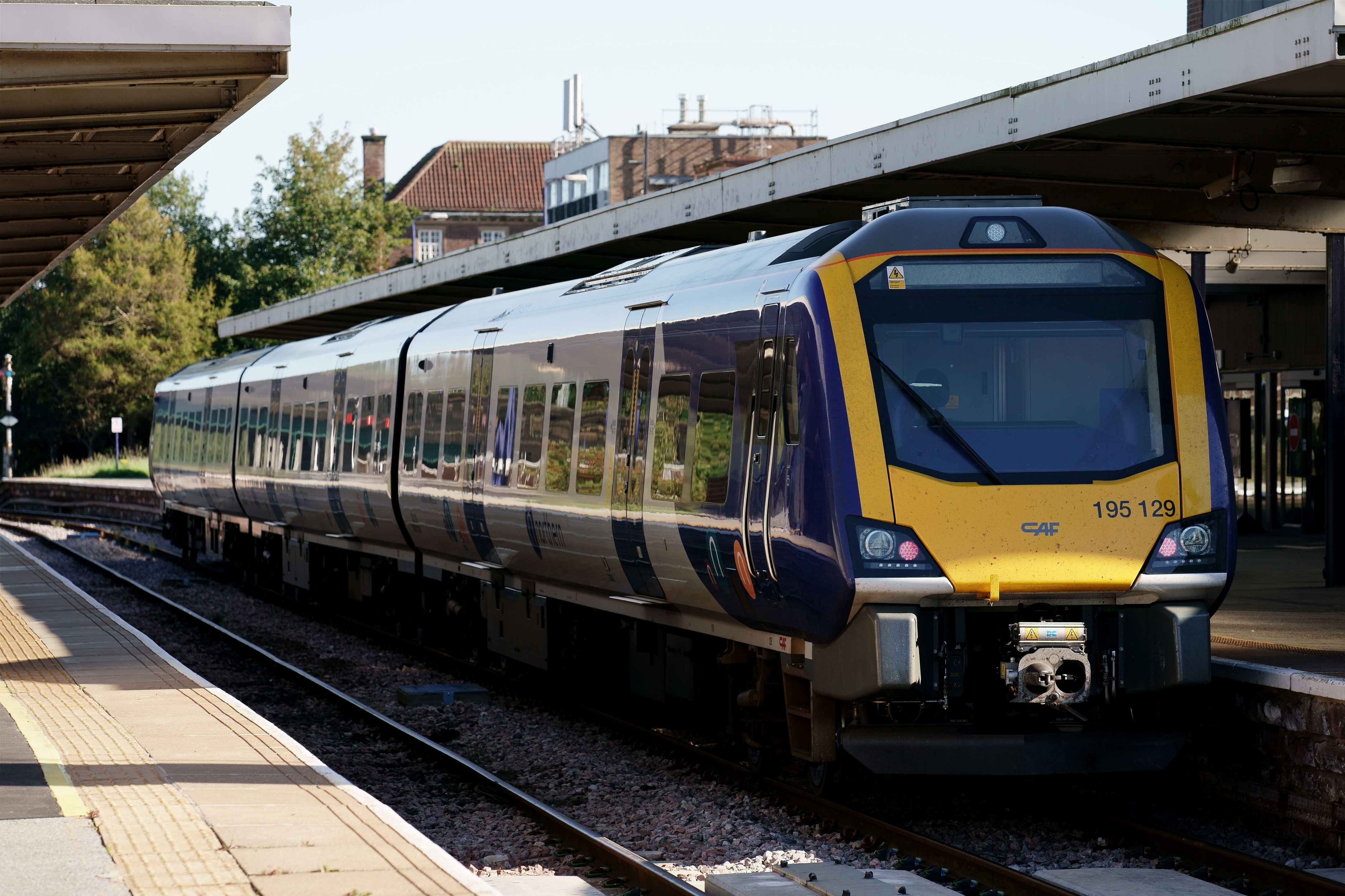
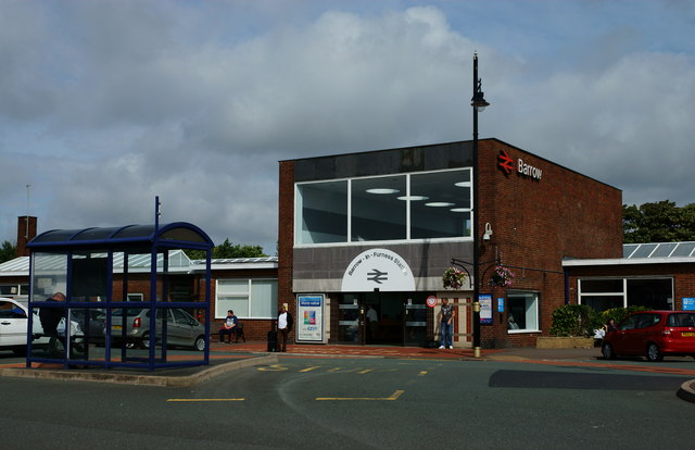
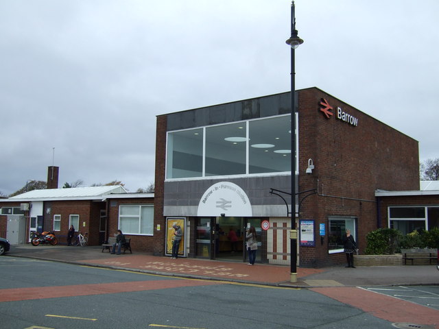
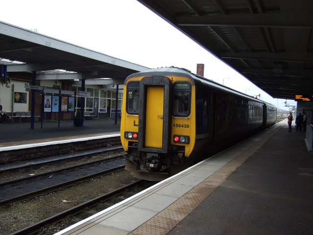
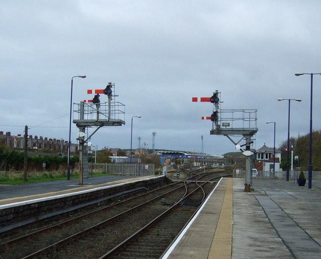
Barrow-in-Furness railway station
Barrow-in-Furness (formerly Barrow Pier, Barrow Strand and Barrow Central) is a railway station on the Cumbrian Coast Line and Furness Line, 85+1⁄2 miles...
Romney Cottage
Romney Cottage is an early 18th-century home located in the Ormsgill area of Barrow-in-Furness, Cumbria, England. Also known as High Cocken it is most...
Scotch Buildings
The Scotch Buildings was a large complex of tenement housing located off Duke Street in Barrow-in-Furness, then Lancashire, United Kingdom. The build was...
Nearby Amenities
Located within 500m of 54.126201,-3.2337854Have you been to Lower Ormsgill Reservoir?
Leave your review of Lower Ormsgill Reservoir below (or comments, questions and feedback).