Offwell Woods
Wood, Forest in Devon East Devon
England
Offwell Woods

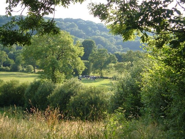
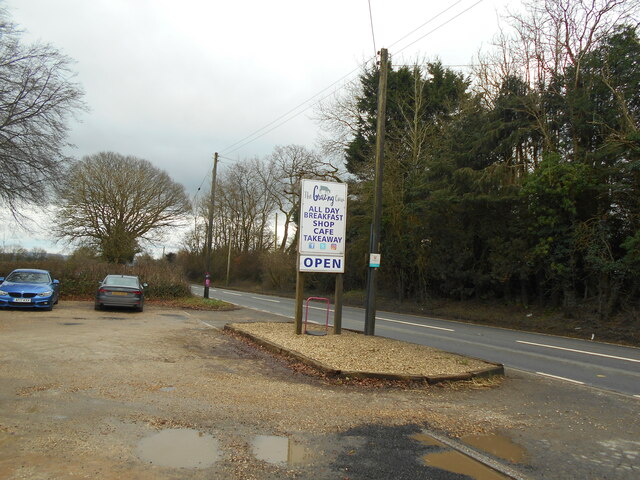
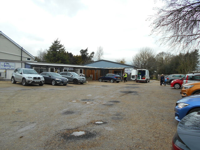
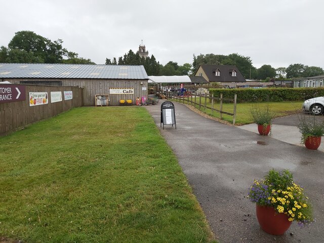
Offwell Woods, located in the county of Devon, England, is a stunning woodland area that covers an approximate area of 30 acres. It is nestled within the picturesque countryside, offering visitors a tranquil and immersive experience in nature. The woods are situated near the village of Offwell, close to the East Devon Area of Outstanding Natural Beauty.
Offwell Woods boasts a diverse range of trees, including oak, beech, ash, and hazel, creating a rich and vibrant ecosystem. The dense canopy provides a cool and shaded environment, perfect for a leisurely walk or a picnic on a warm summer's day. The forest floor is carpeted with an array of wildflowers, adding bursts of color to the landscape.
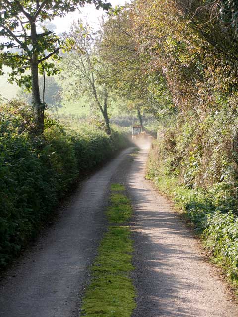
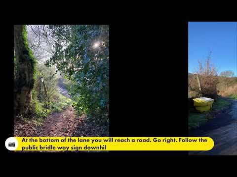
The woods are crisscrossed by a network of well-maintained footpaths and trails, allowing visitors to explore the area at their own pace. These paths wind through ancient woodlands and lead to captivating spots, such as a babbling brook and a small pond. The peaceful ambiance of Offwell Woods makes it an ideal location for birdwatching, as it is home to a variety of woodland birds, including woodpeckers, owls, and song thrushes.
Offwell Woods is not only a haven for nature enthusiasts but also serves as an educational resource. The East Devon Countryside Service manages the woods and provides informative signs and displays about the local flora and fauna. The site also offers guided tours and workshops for schools and community groups, promoting environmental awareness and conservation.
Overall, Offwell Woods is a beautiful and serene woodland area that offers a rich biodiversity and a range of recreational activities. It is a natural treasure that invites visitors to immerse themselves in the beauty of nature while also learning about the importance of environmental stewardship.
If you have any feedback on the listing, please let us know in the comments section below.
Offwell Woods Images
Images are sourced within 2km of 50.788597/-3.1504949 or Grid Reference SY1899. Thanks to Geograph Open Source API. All images are credited.


Offwell Woods is located at Grid Ref: SY1899 (Lat: 50.788597, Lng: -3.1504949)
Administrative County: Devon
District: East Devon
Police Authority: Devon and Cornwall
What 3 Words
///sharpens.letters.plays. Near Honiton, Devon
Nearby Locations
Related Wikis
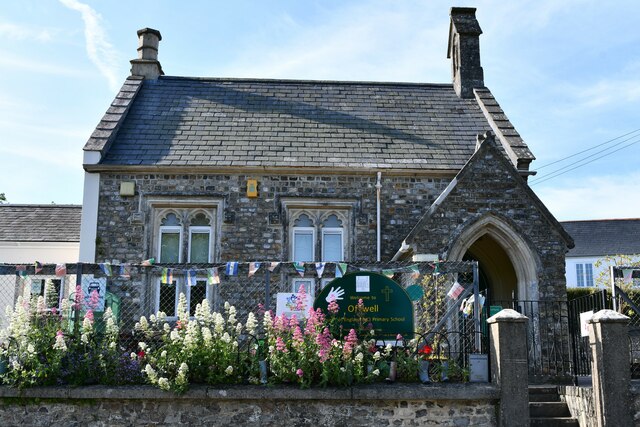
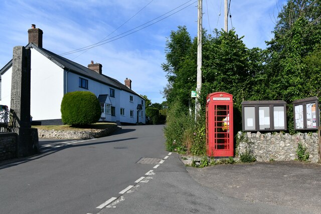
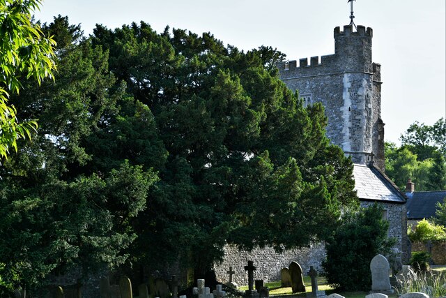
Offwell
Offwell is a village and civil parish in East Devon in the English county of Devon, approximately 2 miles south-east from the nearest town, Honiton. Offwell...

Church Green, Devon
Church Green is a hamlet in the civil parish of Farway in the East Devon district of Devon, England. Its nearest town is Honiton, which lies approximately...

Honiton railway station
Honiton railway station serves the town of Honiton in east Devon, England. It is operated by South Western Railway and is 154 miles 60 chains (249.0 km...

Widworthy
Widworthy is a village, parish and former manor in Devon, England. The village is 3 1/2 miles east of Honiton and the parish is surrounded clockwise from...

Cotleigh
Cotleigh is a village and civil parish near Honiton in Devon, England. It is surrounded clockwise from the north by the parishes of Upottery, Stockland...
Honiton
Honiton () is a market town and civil parish in East Devon, situated close to the River Otter, 17 miles (27 km) north east of Exeter in the county of Devon...

Wilmington, Devon
Wilmington is a village between Axminster and Honiton in East Devon on the A35 road.The entire village is now in the parish of Widworthy, although this...

Honiton Community College
Honiton Community College is a comprehensive academy school located in Honiton, Devon, England. It was originally established as Honiton Secondary School...
Related Videos

HONITON - Walking Tour of Honiton, Devon, England
HONITON - Walking Tour of Honiton, Devon, England Honiton is a town in the East Devon district of Devon, England. It is located ...
Offwell amble
Start your walk in Offwell village what3words: Motivations.dustbin.nuance grid ref: SU 195996 1.Head down hill keeping the ...


England camping site - Aerial view...
Hellow All, This Drone footage explores England's aerial camping site view...
Nearby Amenities
Located within 500m of 50.788597,-3.1504949Have you been to Offwell Woods?
Leave your review of Offwell Woods below (or comments, questions and feedback).