Hobcarton Plantation
Wood, Forest in Cumberland Allerdale
England
Hobcarton Plantation
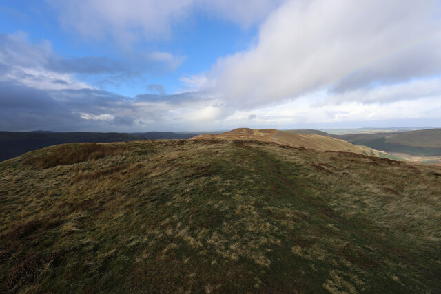
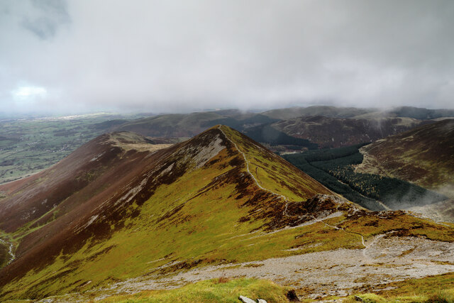
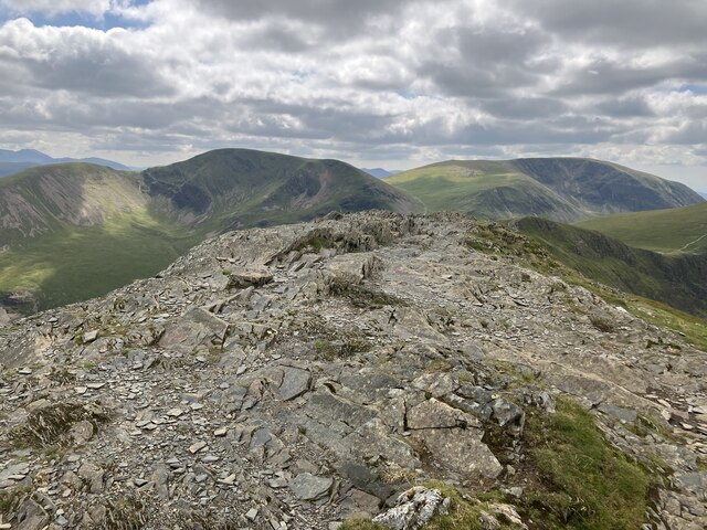
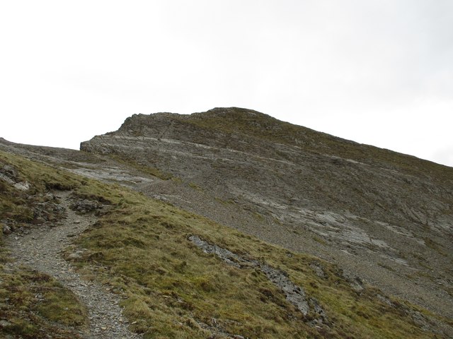
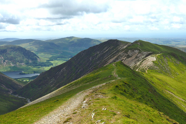
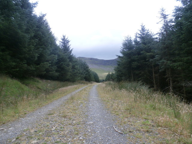
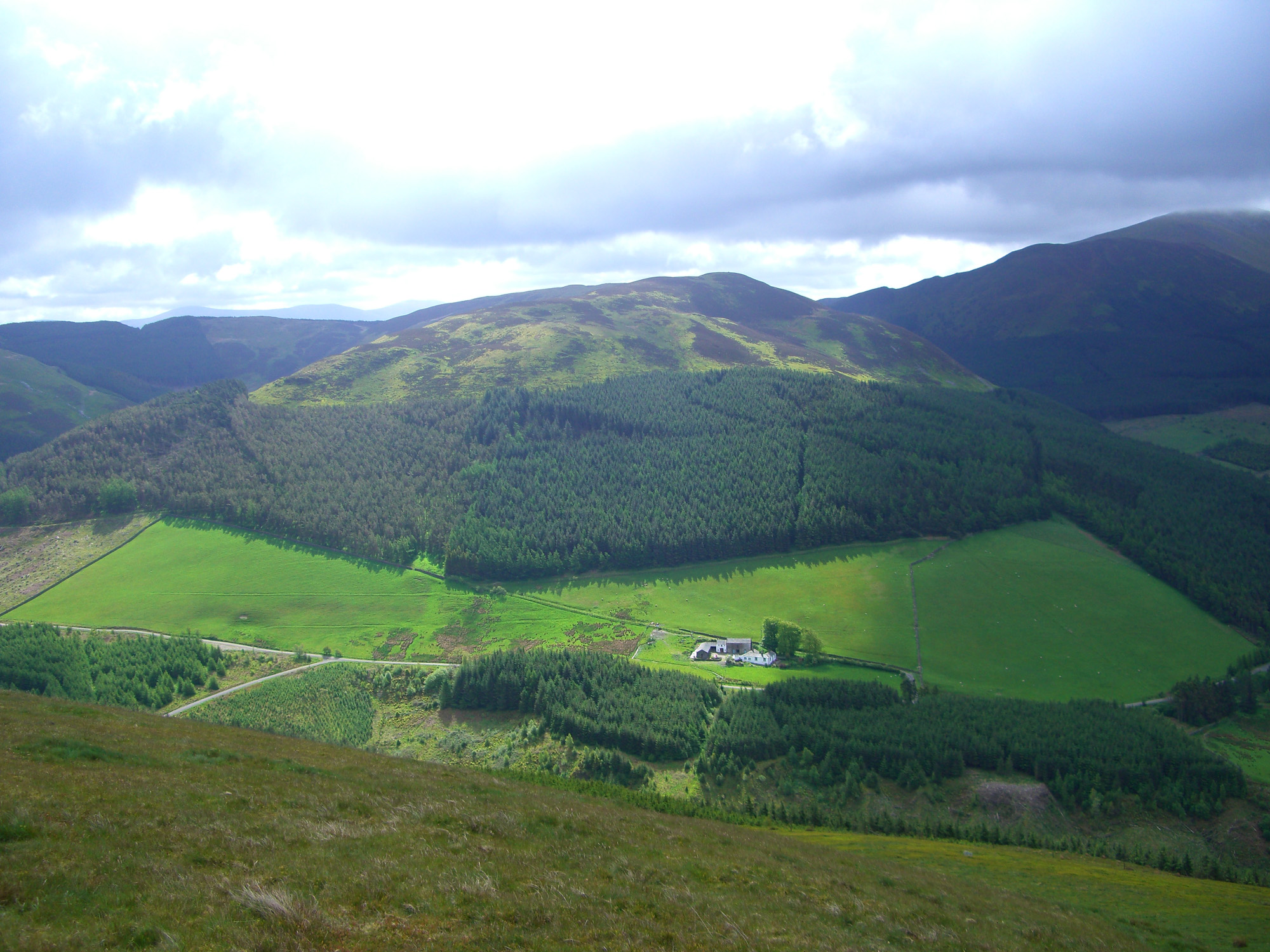
Hobcarton Plantation is a picturesque woodland located in the county of Cumberland, England. Situated in the heart of the Lake District National Park, it covers an area of approximately 200 acres, consisting primarily of dense forests and ancient woodlands.
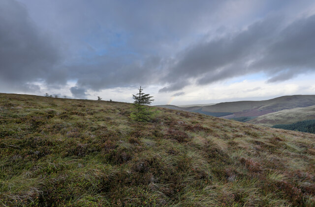
The plantation is renowned for its diverse range of tree species, including oak, beech, and birch, which provide a lush and vibrant habitat for an array of wildlife. It is home to numerous species of birds, such as woodpeckers, tawny owls, and redstarts, making it a popular destination for birdwatchers and nature enthusiasts.
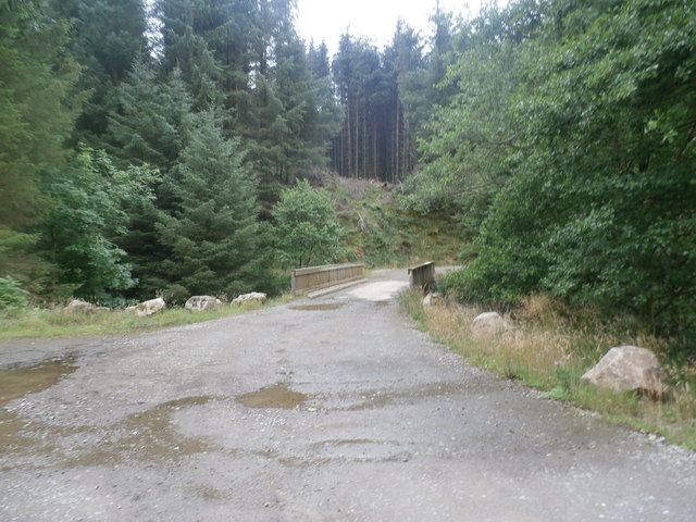
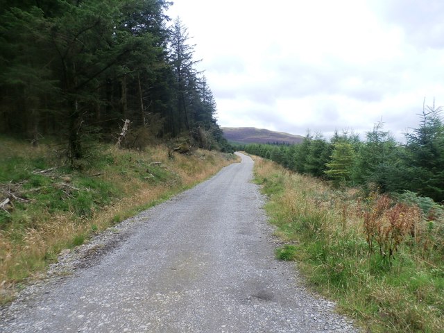
The woodland is crisscrossed by a network of well-maintained footpaths and trails, allowing visitors to explore its natural beauty at their own pace. These paths wind through towering trees and lead to secluded clearings, offering tranquil spots for picnics or simply enjoying the peaceful atmosphere.
Hobcarton Plantation also holds historical significance, as it was once part of the larger Lowther Estate, owned by the influential Lowther family. Remnants of old stone walls and abandoned farm buildings can still be found within the plantation, serving as a reminder of the area's rich past.
With its breathtaking scenery and abundant wildlife, Hobcarton Plantation provides a haven for those seeking a retreat from the hustle and bustle of urban life. Whether it's a leisurely stroll through the woods or a more challenging hike, visitors can immerse themselves in the natural splendor of this enchanting woodland.
If you have any feedback on the listing, please let us know in the comments section below.
Hobcarton Plantation Images
Images are sourced within 2km of 54.600841/-3.2551411 or Grid Reference NY1923. Thanks to Geograph Open Source API. All images are credited.


Hobcarton Plantation is located at Grid Ref: NY1923 (Lat: 54.600841, Lng: -3.2551411)
Administrative County: Cumbria
District: Allerdale
Police Authority: Cumbria
What 3 Words
///idealist.equality.formed. Near Keswick, Cumbria
Nearby Locations
Related Wikis
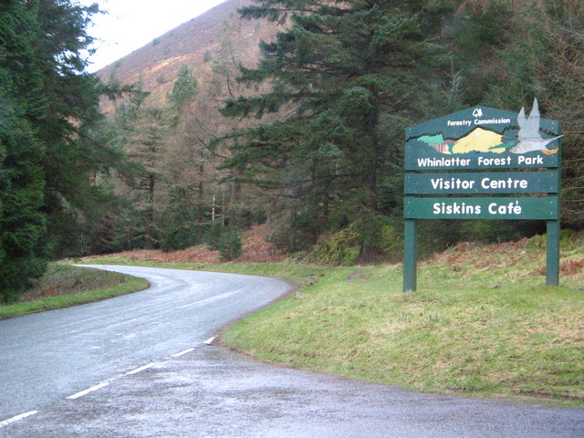
Whinlatter Pass
The Whinlatter Pass is a mountain pass in the Lake District in Cumbria, England. It is located on the B5292 road linking Braithwaite, to the west of Keswick...

Grisedale Pike
Grisedale Pike is a fell in the Lake District, Cumbria, England, situated 4+1⁄2 miles (7 kilometres) west of the town of Keswick in the north-western sector...
Whinlatter
Whinlatter is a small fell in the north west of the English Lake District, just north of the Whinlatter Pass. It is easily climbed from the top of the...
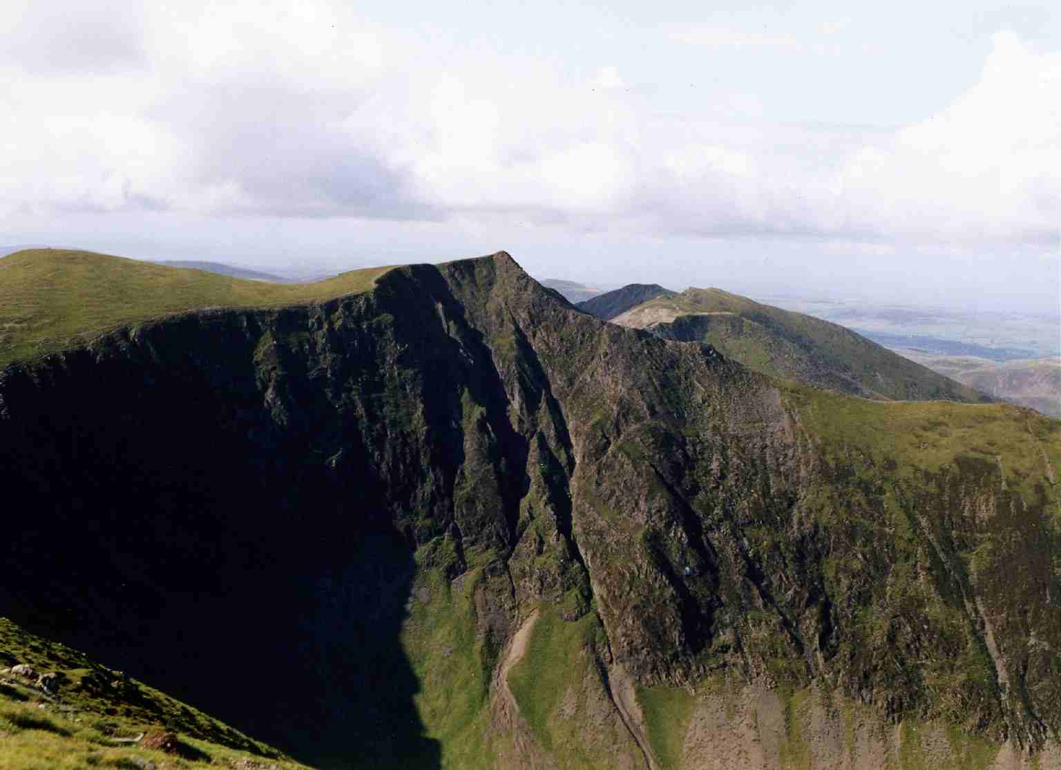
Hopegill Head
Hopegill Head is a fell in the English Lake District in Cumbria. It is located nine kilometres (5+1⁄2 miles) west of the town of Keswick and is well seen...

Lorton, Cumbria
Lorton, a parish in Cumberland, Cumbria, England, consists of two adjacent villages: Low Lorton and High Lorton. Both nestle at the northern end of the...

Whiteside (Lake District)
Whiteside is a fell in the north-western area of the English Lake District. It stands at the western end of the Grisedale Pike- Hopegill Head ridge overlooking...

Outerside
Outerside is a fell in the Lake District in Cumbria, England. It is located 6 kilometres (4 miles) west of Keswick in the north western part of the national...

Graystones
Graystones is a fell in the English Lake District. It lies in the North Western Fells region and is one of the peaks on the ridge which encircles the valley...
Related Videos

Wandope - Fully Labelled Summit View Panorama - Lake District Walks & Hiking
A slow panorama from the summit of Wandope in the English Lake District with all main view points labelled Music by ...


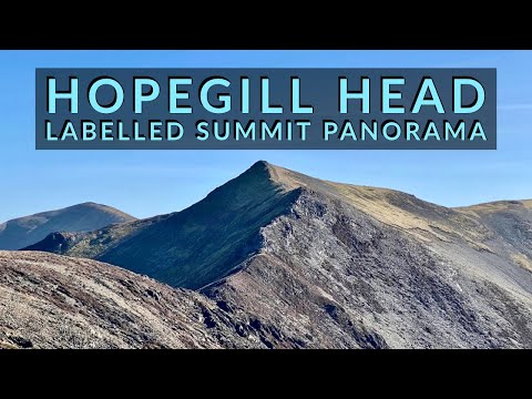
Hopegill Head - Fully Labelled Summit View Panorama - Lake District Walks & Hiking
A 360 degree panorama from Hopegill Head (known locally as Hobcarton Pike) summit with all main view points labelled.
Nearby Amenities
Located within 500m of 54.600841,-3.2551411Have you been to Hobcarton Plantation?
Leave your review of Hobcarton Plantation below (or comments, questions and feedback).