Borcombe Wood
Wood, Forest in Devon East Devon
England
Borcombe Wood
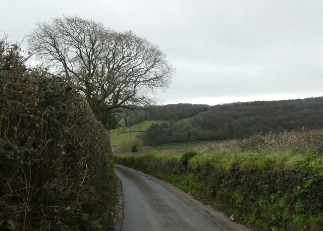
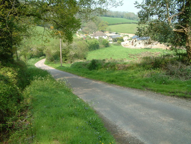
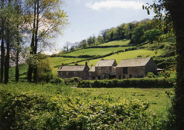
Borcombe Wood is a picturesque forest located in the county of Devon, England. Situated in the heart of the beautiful Devon countryside, it covers an area of approximately 100 hectares. The woodland is predominantly made up of broadleaf trees, such as oak, beech, and ash, creating a diverse and rich ecosystem.
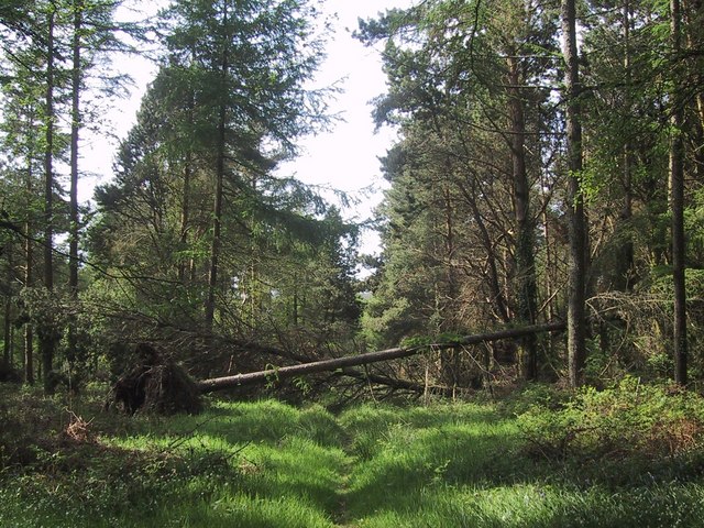
The forest is known for its tranquil and peaceful atmosphere, making it a popular destination for nature lovers and outdoor enthusiasts. Its dense canopy provides a haven for various wildlife species, including deer, squirrels, and a wide array of bird species. The wood is also home to a number of rare and protected plant species, adding to its ecological significance.
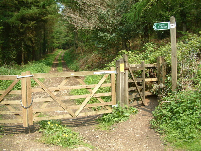
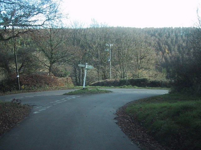
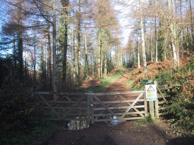
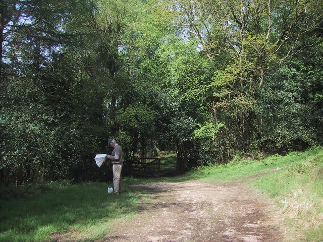
Borcombe Wood is crisscrossed with a network of well-maintained footpaths and trails, making it easily accessible for visitors. These paths offer opportunities for leisurely walks, hiking, and birdwatching. The forest also boasts a picnic area, allowing visitors to relax and enjoy the natural surroundings.
The wood is managed by the local council, which ensures its preservation and protection. It is important to note that camping and fires are not permitted in the forest to prevent any damage to the delicate ecosystem.
Overall, Borcombe Wood is a hidden gem in Devon, offering a serene escape from the hustle and bustle of urban life. Its natural beauty, diverse flora and fauna, and well-maintained trails make it an ideal destination for those seeking a peaceful retreat in the heart of nature.
If you have any feedback on the listing, please let us know in the comments section below.
Borcombe Wood Images
Images are sourced within 2km of 50.72027/-3.1484663 or Grid Reference SY1991. Thanks to Geograph Open Source API. All images are credited.


Borcombe Wood is located at Grid Ref: SY1991 (Lat: 50.72027, Lng: -3.1484663)
Administrative County: Devon
District: East Devon
Police Authority: Devon and Cornwall
What 3 Words
///quicksand.front.amuse. Near Colyton, Devon
Nearby Locations
Related Wikis

Blackbury Camp
Blackbury Camp, also known as Blackbury Castle, is an Iron Age hill fort in Devon, England. It is managed by English Heritage. == Location == Blackbury...

Wiscombe Park Hillclimb
Wiscombe Park Hillclimb is a British hillclimb, situated in Colyton, Devon. The course, which is 1000 yards (914 metres) in length — the same as Shelsley...
Wiscombe Park
Wiscombe Park is a 19th-century Gothic country house in Southleigh, Devon, UK which stands in parkland some 3 miles west of Colyton. The house is a grade...
Southleigh
Southleigh is a village and civil parish in the East Devon district of Devon, England. Its nearest town is Colyton, which lies approximately 3 miles (4...

Street, Devon
Street is a small village in the East Devon district of Devon, England. Its nearest town is Sidmouth, which lies approximately 4 miles (6.4 km) south-west...
The Old Bakery, Manor Mill & Forge
The Old Bakery, Manor Mill & Forge is a collection of buildings in Branscombe, Seaton, Devon, England. The property has been in the ownership of the National...

St Winifred's Church, Branscombe
St Winifred's Church is a Church of England church in Branscombe in Devon, England. The church is dedicated to Saint Winifred, a Welsh saint. It is among...

Berry Camp
Berry Camp or Berry Cliff, is an Iron Age Hill fort on a partially eroded cliff top close to Branscombe in Devon. The cliff is situated some 140 metres...
Nearby Amenities
Located within 500m of 50.72027,-3.1484663Have you been to Borcombe Wood?
Leave your review of Borcombe Wood below (or comments, questions and feedback).